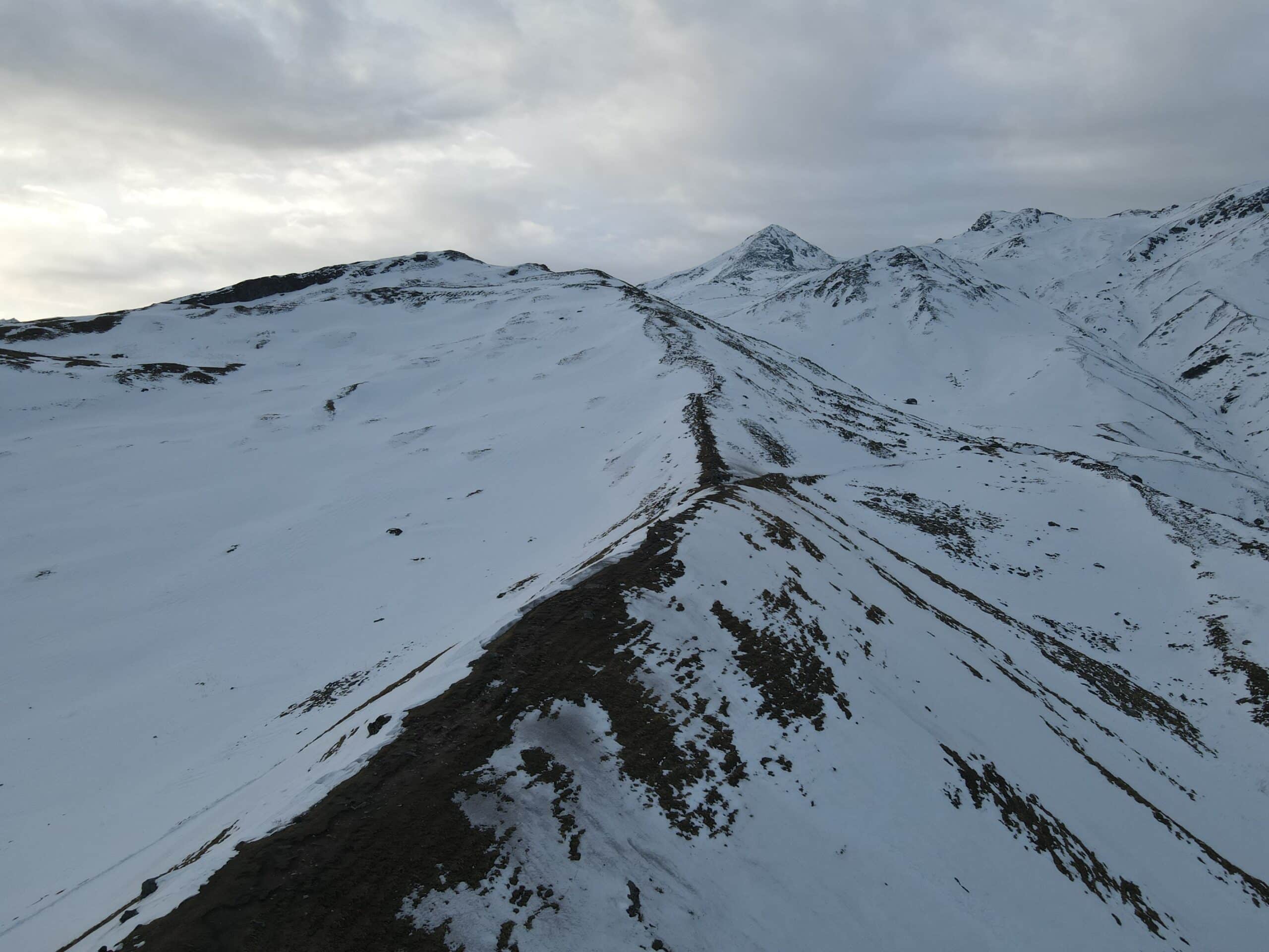
Varlakonda Fort Trek
Varlakonda Fort Trek
Varlakonda Fort Trek an impressive trek near Bengaluru that winds through an idyllic landscape characterized by flowers, lush vegetation, rock landscapes and breathtaking views of Bengaluru amidst mountains. This trek stands out among others near Bengaluru due to its diverse terrain and stunning view from its summit – it truly offers something unforgettable!
Most hikes involve beautiful trails winding through rugged landscapes of black, gray, and red rock formations. Along your journey will be natural depressions which fill with water during monsoon season to form lush ponds teeming with life; making navigating these breathtaking yet difficult rocky stretches both beautiful and difficult!
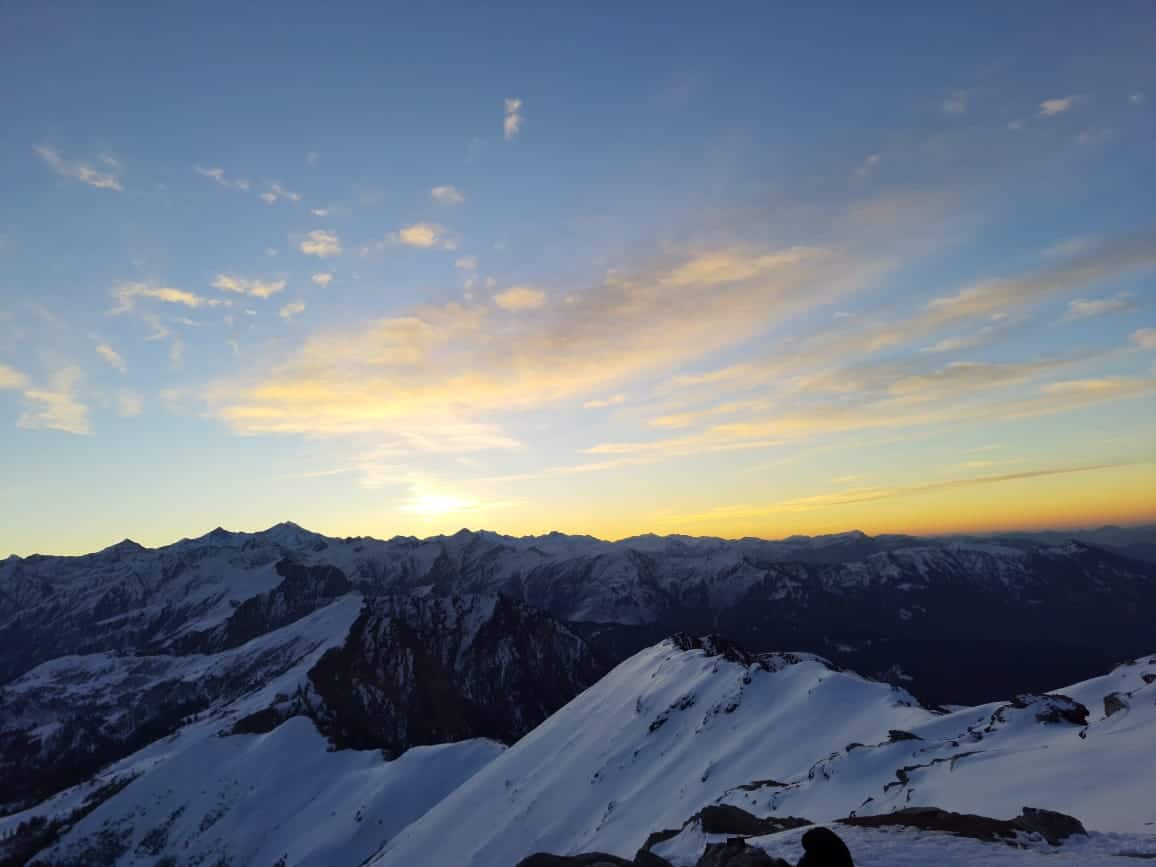
At the summit of Varlakonda Fort, you’ll enjoy breathtaking panoramic views encompassing Avalabetta Hill and its neighboring hills, possibly including two! Look closely and you may spot several small lakes scattered through the landscape; close inspection may reveal even two! Watching sunset from here is truly extraordinary: deep red hues transition into brilliant orange then fade gradually into shades of purple and pink as the sun sinks beneath the horizon.
Varlakonda Fort Trek Detailed Trail Information
As we embark on our trek, our hiking experience begins on two routes–Route A and Route B–on which to embark.
Route A: is located directly off of the main road but its narrow profile makes it easy to miss. To locate it, turn your gaze toward Varlakonda Rock and look towards its left-side field – from this position the trail will become clear as it winds across it and into nearby woodland.
After roughly 10 minutes, the forest starts a gradual ascent with stunning views of Varlakonda Rock and beyond. Unfortunately, you’ll encounter an unpaved section here which is very steep and treacherous for foot travel.
Route B lies approximately 150 meters south of Route A and closer to the National Highway leading into Varlakonda village. To gain access to it, exit the service road by turning right before exiting and making an immediate left turn upon leaving before exiting; take note that only part of Varlakonda village lies along this road.
Route B: starts off in a small forest area and follows an undulating route, winding back and forth before eventually leading to an outcrop that serves as the starting point for an ascent up a steep mountainside.
At an intersection between trails, you’ll face climbing challenges that require using both knees and hands for stability as some rocks might become unstable with age. Be especially wary when handling shrubs that might contain thorns.
As you walk, keep an eye out for any mushrooms or butterflies flitting about; avoid picking any mushrooms unless you possess specific knowledge about their uses and risks.
Engage In Engaging Rock Segments Now
At the intersection of two trails, your excitement will peak. Here, you will come across rockier sections and narrow trails; should you become disoriented, turn east to follow upward. Eventually you will arrive at your destination: an exquisite mountain face awaits to unveil all its intricate features before continuing up. Take time to take in what has passed behind before continuing upward.
This path ascends gradually over five minutes before becoming rougher once more, eventually reaching small open areas with smoother terrain–an excellent place for rest and recuperation!
Find yourself among a rocky outcrop covered in exquisite insects that blend perfectly into their surroundings, making them difficult to detect.
Continue on the trail for another 20 minutes, taking note as your landscape transforms into one without trees and ascending, keeping an eye out for vibrant hues reflected off rock faces as you climb higher up the trail.
After approximately 20 minutes of ascent to the summit, you should come upon an approximately 10-foot slope which requires careful traversal. Continue climbing with caution up this segment of terrain.
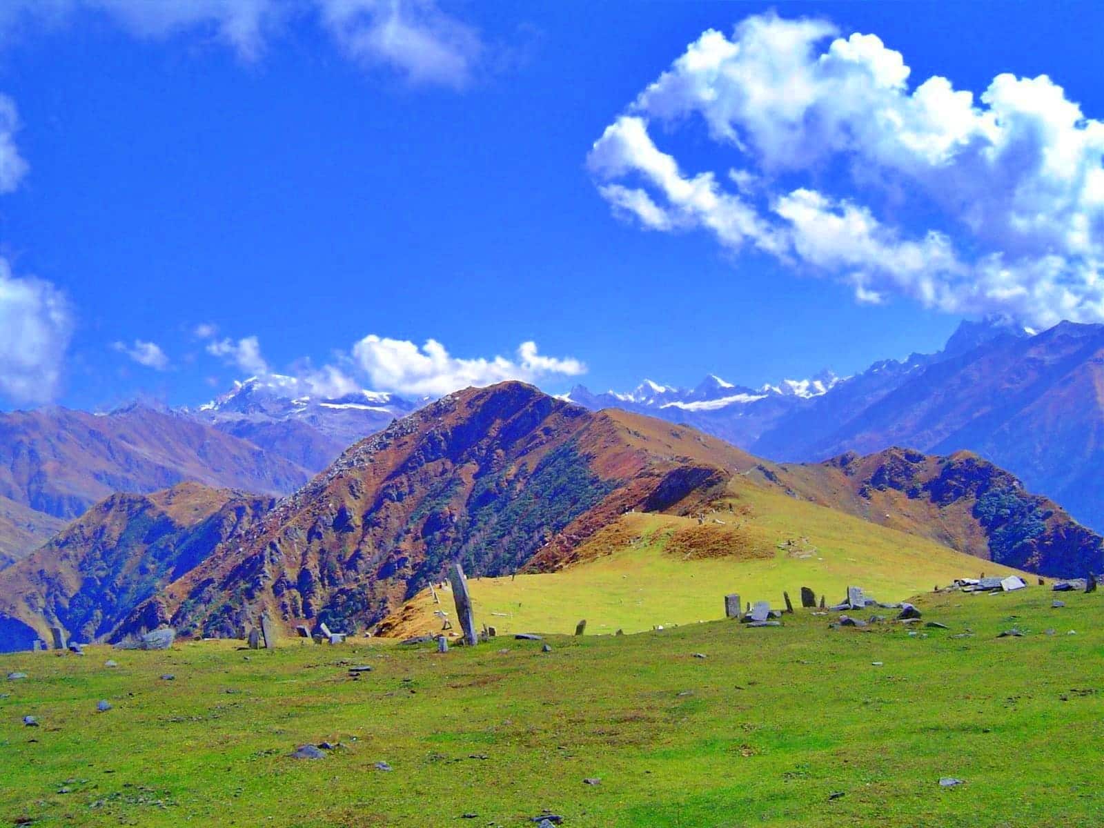
At the top of a hill lies an open meadow resembling an old badminton court. Beginning early September, bright pink flowers bloom throughout this rugged terrain! After about 15 minutes exploring its depths you’ll come upon areas covered with grass or bushes as well as various scattered plants such as cacti.
After 15 minutes, you’ll arrive at a historical fort; here, the remnants are perfect for relaxing and taking in breathtaking vistas.
At this point, take two steps left and continue along a flat path for approximately 200 meters. Along this stretch you will discover caves carved into rock–generally flat but sometimes descending–nearby stands a precarious structure connected with Sri Seetha Rama Lakshmana Temple; after taking several more steps there’s an incline leading towards stone buildings; be wary for lizards!
Once you reach the summit of a mountain, take some time to enjoy and appreciate its stunning panorama! Once there, relax and take time to appreciate all its glory!
Once it is time to descend, simply retrace your route downhill. As soon as you cross any patches of grass on a rock face and start your descent carefully navigating around slippery rocks and steep slopes – and eventually reaching back where your trek started and which direction.
If at any point during your journey you become disoriented, return to the point from which you started. Be especially vigilant as certain sections may provide helpful hints regarding where the route goes; taking note of these can prove extremely helpful!
Navigating through high rocks and rugged slopes can be daunting, requiring secure footing on both the ascent and descent of steep rock sections that requires secure footing for safe traverse. Wear shoes with ankle support and sturdy soles; or consider dropping down onto all fours to improve balance if necessary.
Keep in mind that during monsoon season, rocks may become extremely dangerously slippery and pose additional threats.
How to Reach For Varlakonda Fort
As part of your planning for an epic trek, please keep these distances in mind:
– From Bengaluru’s Majestic Bus Stand to Chikkaballapura Bus Stand is 60 km, while Varlakonda Bus Stop to Chikkaballapura Bus Stand is 22km away.
Make sure you know exactly where your destination lies before departing the New KSRTC Bus Stand; any deviation could add extra travel time and costs.
Arriving at the Base of the Hill
The journey starts from Bengaluru with an additional detour through Chikkaballapura to Varlakonda via Majestic Bus Stand in Chikkaballapura and onward. KSRTC buses travelling towards Chikkaballapura will guide your arrival station – their distinctive black, grey and red colours should guide your trip – signposting will assist along the journey, and KSRTC personnel wearing white uniforms are always there if assistance is required!
Reach Hebbal Bus Stand near Esteem Mall or Kodigenahalli Cross under the flyover for bus transportation.
Chikkaballapura Information System
Once at Chikkaballapura bus station, be wary as various private and KSRTC buses make their way towards Varlakonda town. When speaking with their driver, inform him or her of your desired stop – Varlakonda town being nearest the starting point of your trek.
Varlakonda Bus Station provides the ideal spot for refreshing drinks or snacks, with nearby small stores offering food and beverage products.
Once your trek is finished, follow the same route back to the bus station. Don’t hesitate to ask locals for directions; they will generally be happy to help! For easy transportation back home, take an auto-rickshaw from Chikkaballapura, which has regular service running up to 45 minutes later, before switching over to another bus heading towards Bengaluru City.
Essentials for the Varlakonda Fort
- A well-stocked First Aid kit, including:
- Scissors
- Band-aids (regular and waterproof)
- Analgesic spray (Relispray, Volini, etc.)
- Antiseptic Liquid (Savlon, Dettol, etc.)
- Antiseptic powder (Povidone-Iodine-based powders like Cipladine, Savlon, etc.)
- Cotton roll and bandage
- Crepe Bandage
- 1-inch wide medical tape (paper or cloth)
- Micropore tape
- Tablets for motion sickness (Avomine) and acidity (Gelusil, Digene, etc.)
- Mild pain relief tablet (Crocin)
- Identity Card
- Cap, scarf, bandana, and sunglasses
- At least two litres of water
- Lemon, salt, or an electrolyte drink (Electoral/Gatorade/Glucon D, etc.)
- High-calorie snacks (nuts, dry fruits, home-baked cake, etc.)
- Safety pins, rubber bands, and a whistle (useful in emergencies)
- Quick-drying T-shirts (preferable over cotton tees)
- Poncho (only during monsoons)
- Plastic sheet to wrap electronic devices (only during monsoons)
- Sunscreen (SPF 50+)
- Trekking poles (optional)
Remember to always seek advice from a physician before consuming any medication.
Dates For Upcoming Treks
Want To Trek Like Pro?
Basically, watch these videos if you want to trek the same way professional trekkers do and make your skills better. These videos contain useful tips and techniques to further improve your trekking skills itself. These videos actually help both new and experienced trekkers improve their trekking skills. These videos definitely provide useful tips that make your trek better. We are seeing that these videos by Trekup India experts will only help you make your trekking skills better.





Know Everything About Acute Mountain Sickness
Acute Mountain Sickness occurs when people trek to high altitudes above 8,000 feet. This condition itself develops further due to reduced oxygen levels at such heights. Basically, as you go higher up, the air pressure and oxygen levels decrease, which causes the same problem. Acute Mountain Sickness surely causes headache, nausea, vomiting, and dizziness in affected persons. Moreover, peoples also experience difficulty in sleeping during this condition. To avoid mountain sickness, you should actually trek up slowly to higher altitudes. To learn further about this condition itself, watch the videos by Trekup India.
