Panwali Kantha Trek
Panwali Kantha Trek
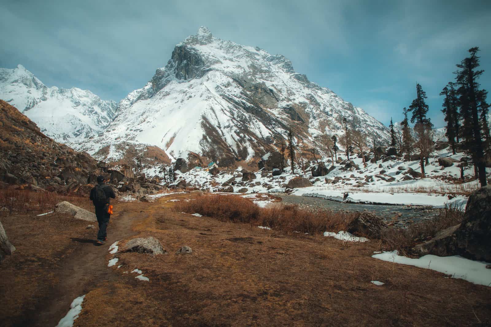
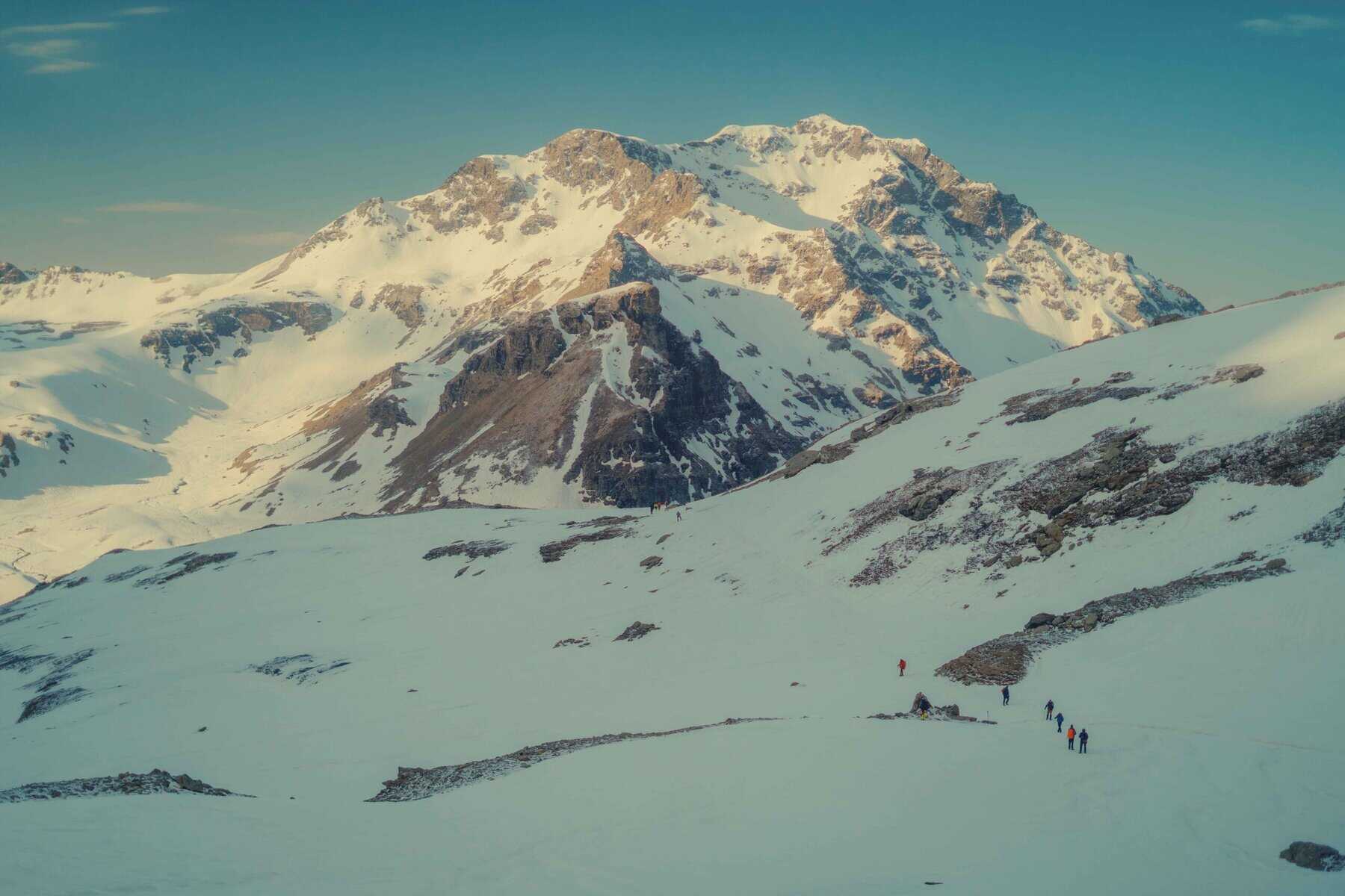
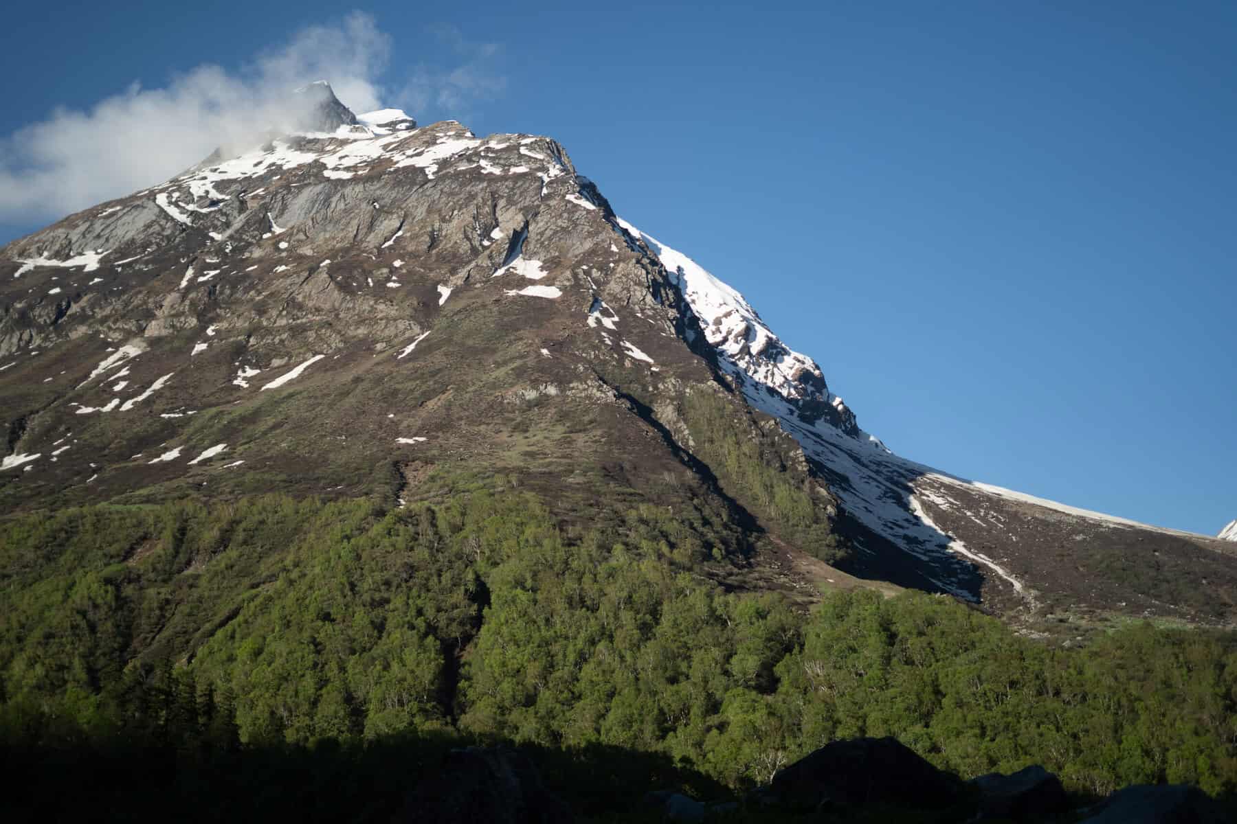
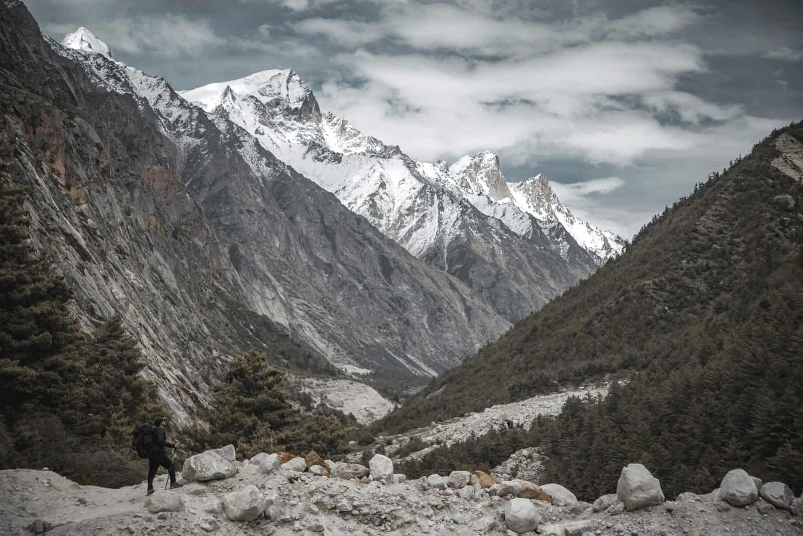
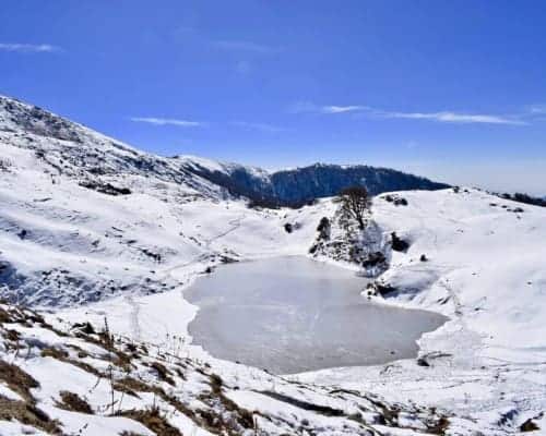
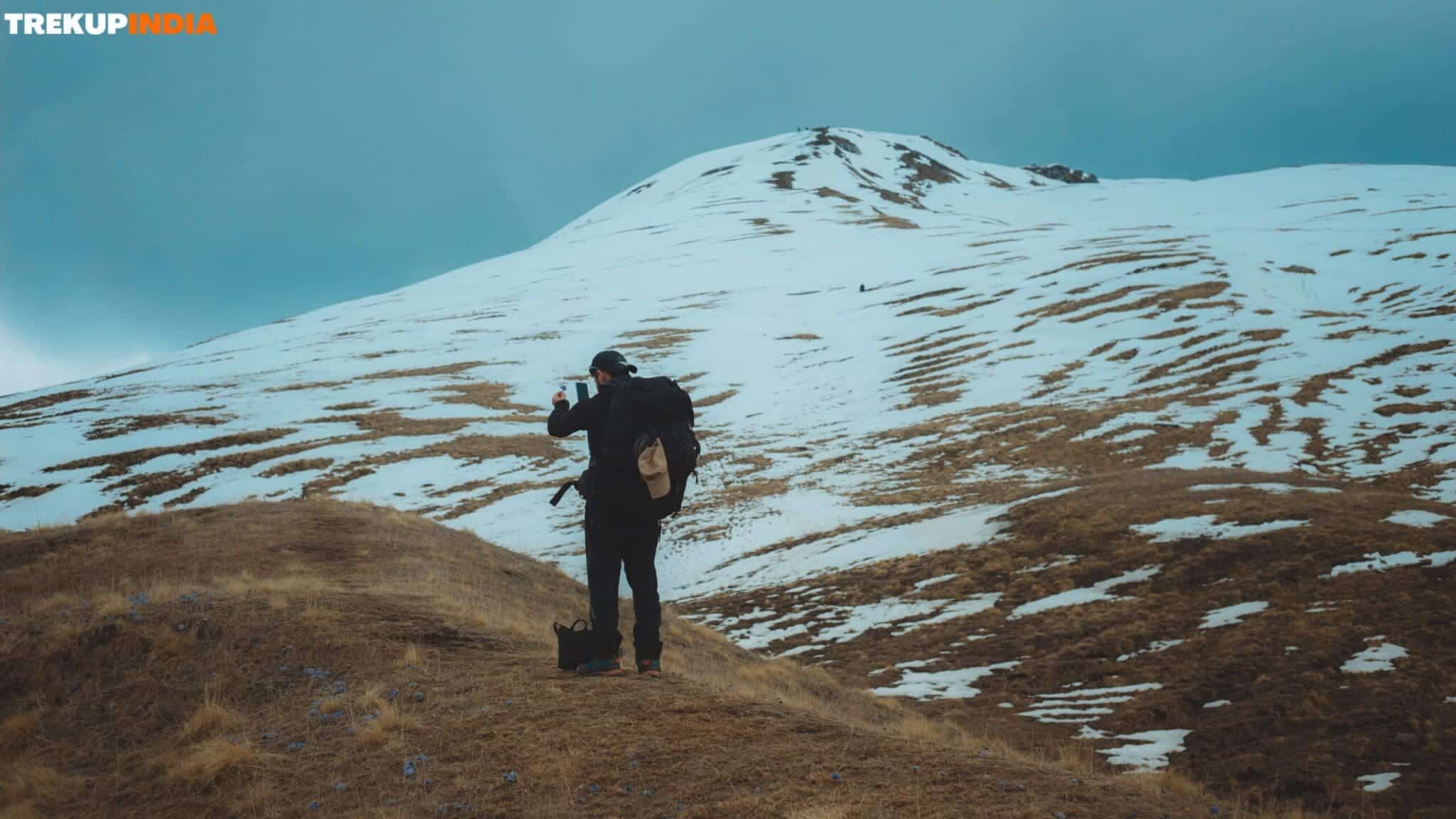
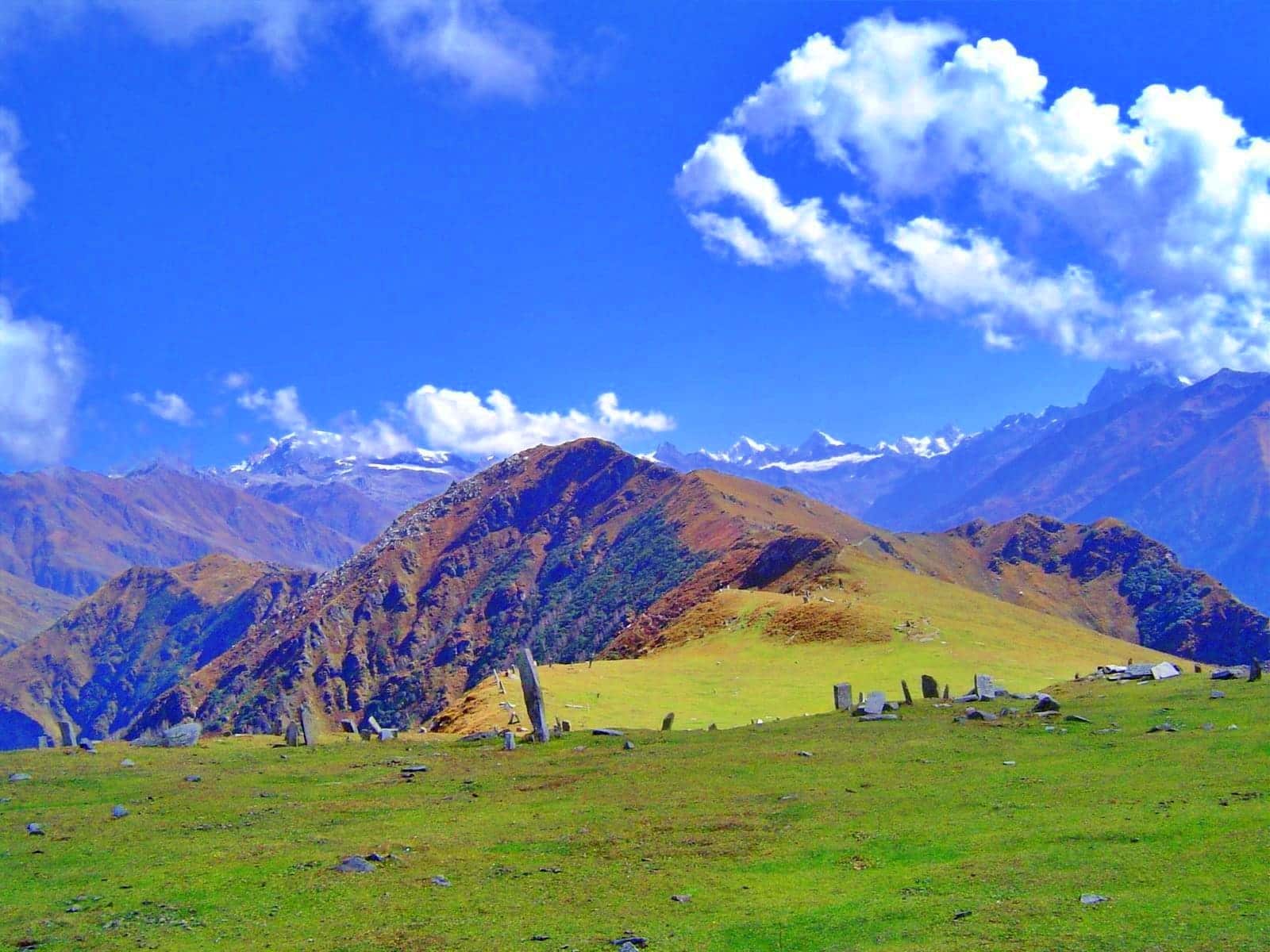
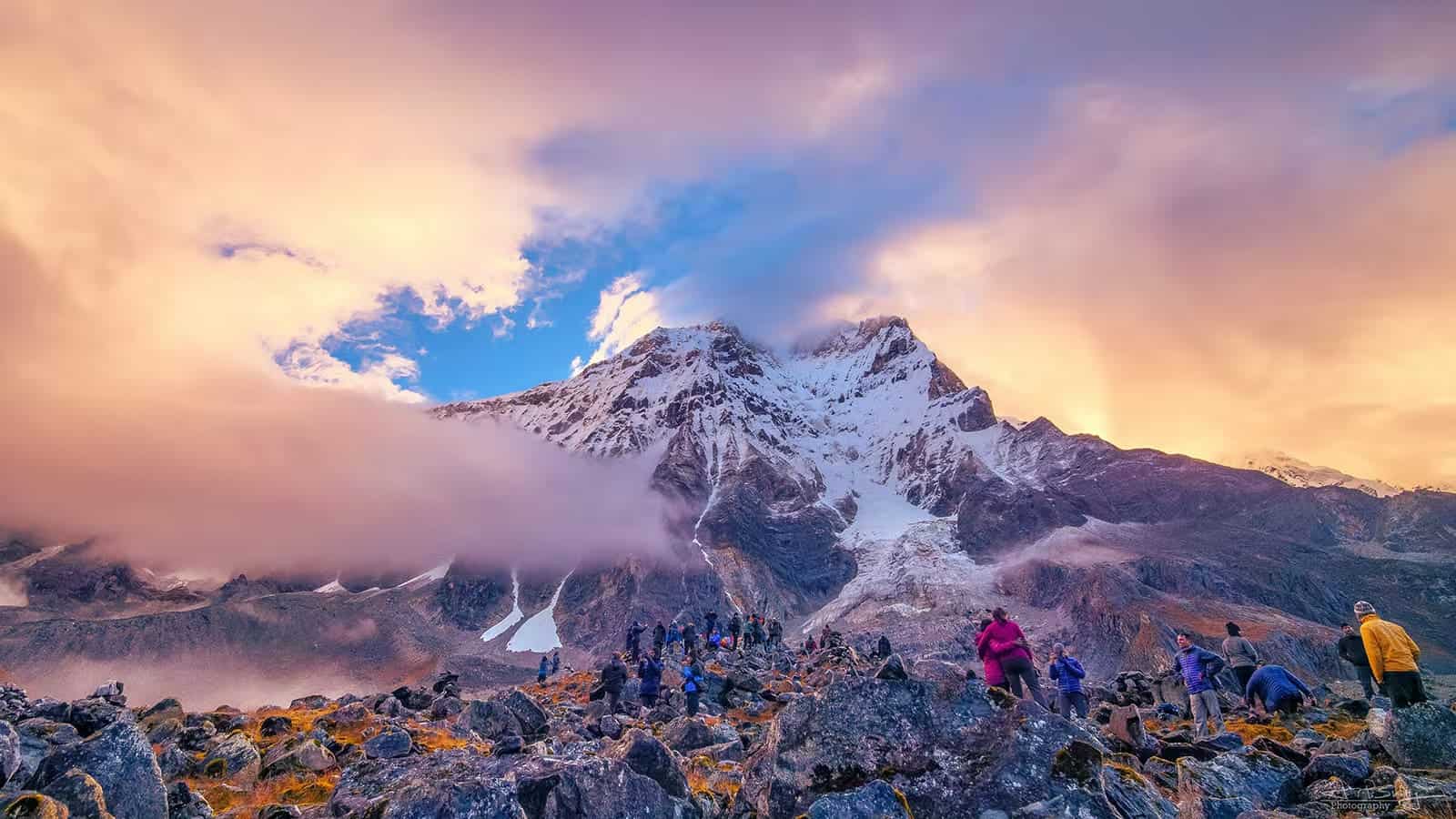
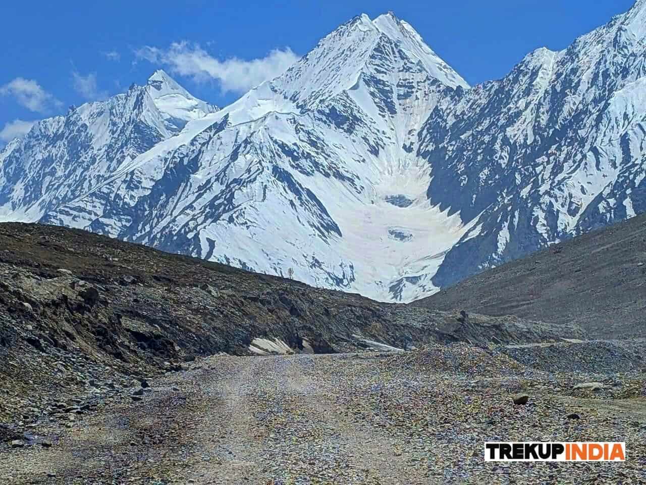
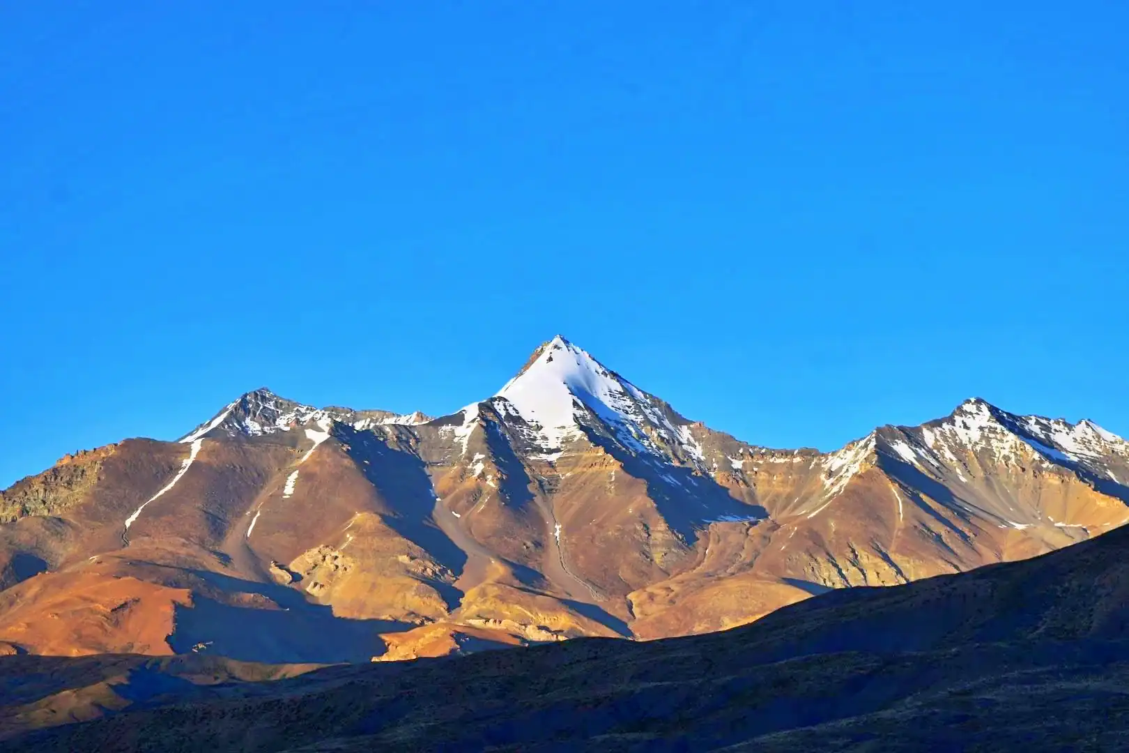
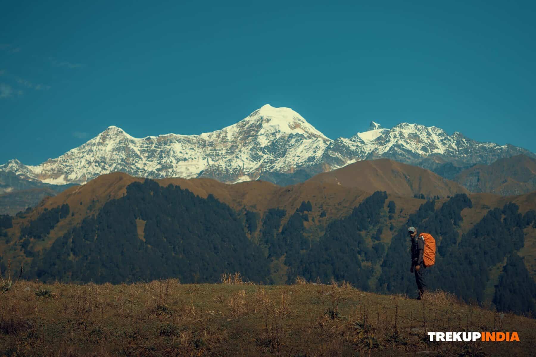
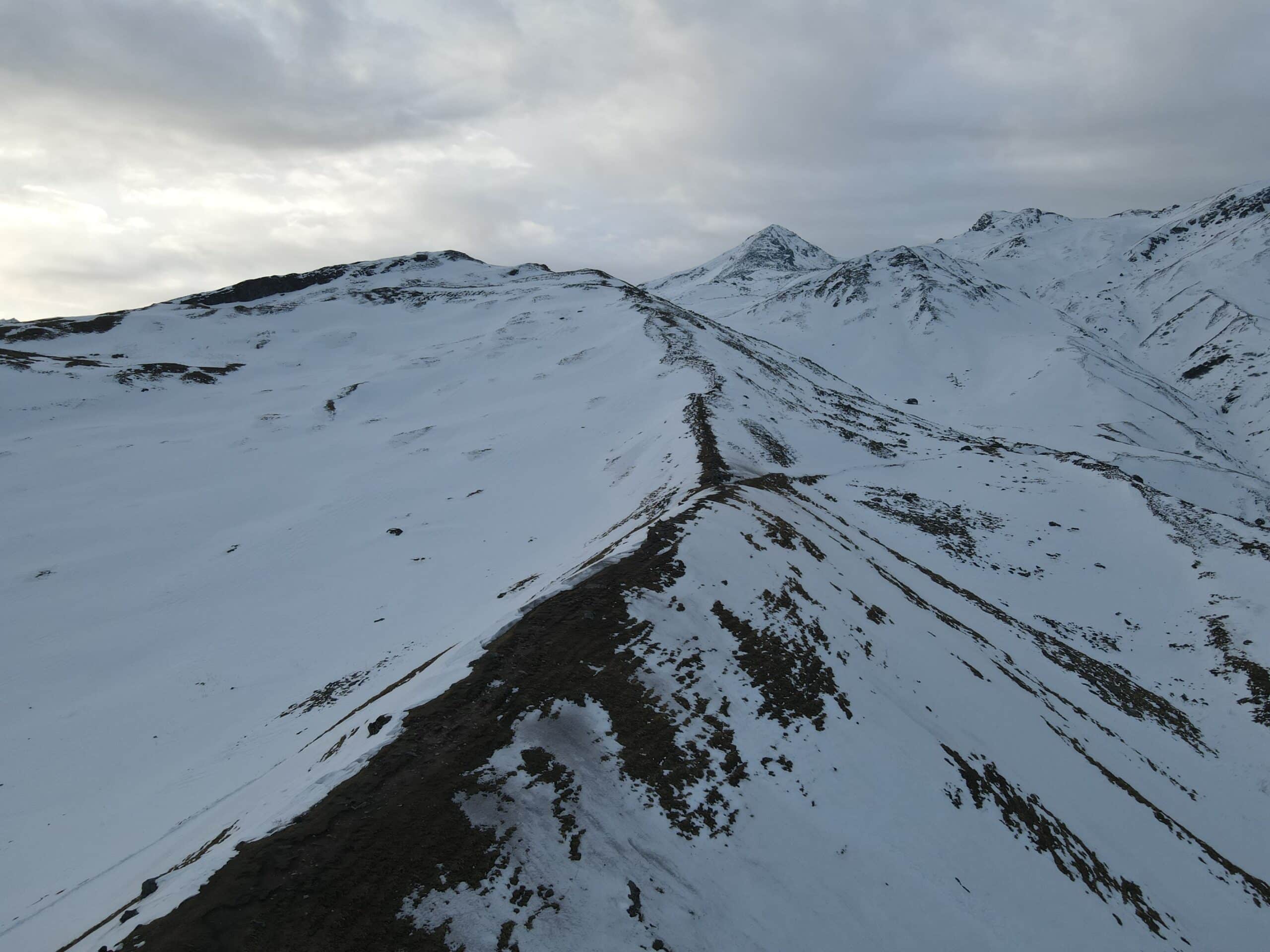
Panwali Kantha is an idyllic trekking spot in Uttarakhand, welcoming newcomers with open arms. The trek follows in the footsteps of pilgrims visiting Warnath, providing easy and clear navigation and easily accessible paths, full of natural beauty at every turn. To describe this shepherd’s trek in one word, it would be: ‘plenty’ as it boasts vibrant colours, breathtaking landscapes, towering mountains, unique flora, and snow-covered terrain aplenty! Panwali Kantha’s off-the-beaten-path trek offers year-round joy. Its expansive meadows are transformed by each season into an ever-evolving canvas of colours ranging from vibrant wildflower blooms to grandiose Rhododendron forests, lush green pastures to snow-covered expanses. Panwali Kantha is truly nature at its finest, with a full spectrum of hues painted throughout its landscapes. As soon as you set foot on this trek, the breathtaking sights will amaze you. Every major peak in the Garhwal Range in the Himalayas can be seen, while towering mountains from Gangotri, Yamunotri, Badrinath, and Kedarnath ranges can also be seen encircled by jagged ridges as you ascend. Famous peaks such as Meru, Kedar Dome, Nilkanth Chaukhamba Thalay Sagar await your discovery along their rugged stone structures, which add character and charm to their stunning trek. The Panwali Kantha trek is an exquisite route that can be explored year-round, providing visitors with a distinct experience depending on which season it’s visited. Tackle it during autumn when skies are crystal clear or head out in winter for more rugged experiences; spring brings vibrant hues when nature blossoms to its full potential.
Trek Itinerary of Panwali Kantha Trek
Day 1: Make your way to Ghuttu (1,635M)
Trekup India Road Trippers taking part in their Dehradun to Guttu journey start their day early with a meeting at their designated meeting point and readying themselves to embark on the 200 km trip towards their final destination – Guttu is an idyllic agricultural village situated within Uttarakhand’s Tehri District. As today is relatively light in terms of schedule, with only driving and adjusting to mountain air on the agenda, an early start time and rest after returning are key to ensure an effortless trip. Departing early allows for any delays on mountainous roads, especially since Itsu is a large village situated amidst lush green slopes that support local economies. On our way to this village located 30 kilometres outside Ghansali, we will visit the Tehri Dam on the Bhagirathi River, widely considered one of the greatest feats of engineering ever achieved. Once at our trek head in Guttu, visitors can explore its charming markets, numerous temples, and cozy tea stalls, and immerse themselves in high-altitude village culture.
Day 2: Ghuttu (1,635M) to Gaurmanda (2,525M)
On our first day of trekking, we cover approximately 8 kilometres with an elevation gain of about 900 meters over approximately six to seven hours. Oak and Rhododendron forests serve as an idyllic setting during this challenging journey through vibrant jungles to our campsite located at 2,525 meters within nature’s embrace. A broad trek winds gently through the forest, offering glimpses of high-altitude villages as well as lush green fields in the distance.
Day 3: Gaurmanda (2,525M) to Panwali Top (3,400M) via Pobhari (2,945M)
Today’s trek will cover an approximate distance of 7-8 kilometres and last 7 hours, reaching Panwali Top for breathtaking views of the area’s mountain peaks. The trek begins with a gradual ascent through a forest leading up to Pobhari at 2,945 meters, before levelling out briefly before ascending again towards Dophand and passing shepherd huts along its route. Finally, after 2 kilometres of flattening out along a plateau area of Dophand, views of the valley and mountains become apparent. Our final 300 meters to the summit is steep and marked by stone temples frequented by locals. To add to its peaceful ambience is its isolation; few visitors ever venture this way. Ultimately, after climbing 3,235 meters, we reach our campsite. Tonight’s accommodation is situated near the edge of the jungle, featuring shepherd huts on one side. Be prepared for subzero temperatures when the sun goes down below the horizon, and since there are no water sources along your route, be sure to stock up enough from your campsite to survive each day’s trek.
Day 4: Panwali Top (3,400M) to Gaurmanda (2,525M)
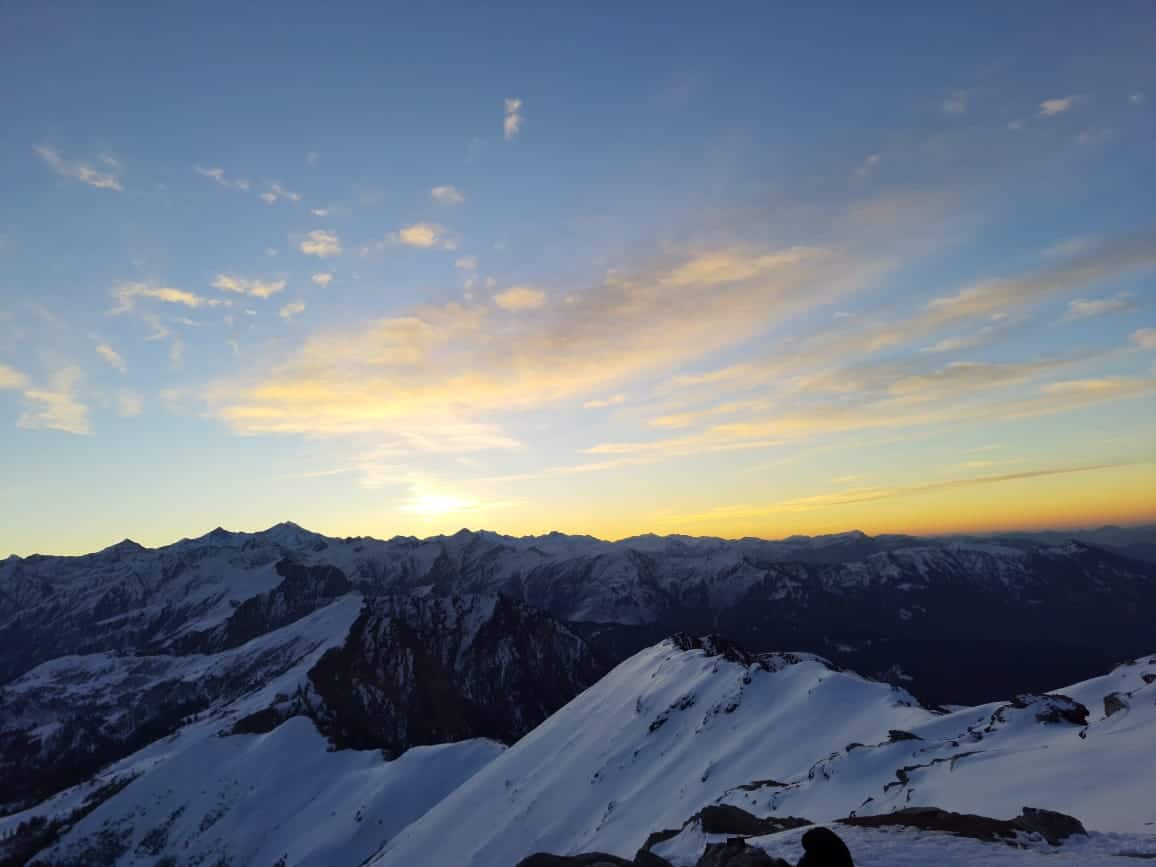
Start the day right by ascending an early summit, taking advantage of clear morning skies to admire this magnificent mountain range in all its beauty. When dawn lights its first rays upon the highest peaks, casting an incredible golden aura over the landscape; and as we traverse expansive meadows on our journey toward it all is simply mesmerizing; towering peaks rise on either side, each boasting distinct characteristics such as rugged crags or gentle slopes that makes studying them an invaluable learning experience. After taking time at our summit stop, we begin to descend back through dense oak-rhododendron forests back to Gaurmanda campsite; after we enjoy spending some quality time there, we head homeward through dense oak-rhododendron forests back towards Gaurmanda campsite for some leisurely relaxation before returning home!
Day 5: Gaurmanda (2,525M) to Dehradun (650M) via Ghuttu (1,635M)
On our final day of trekking, we will retrace our path back down to Guttu before gathering our gear and waiting for transport back to Dehradun. The day’s journey will cover approximately 8-9 kilometres on foot and 200 kilometres by vehicle, taking between 3-4 hours trekking and 6 hours driving time before reaching Dehradun by evening.
Trek Highlights of Panwali Kantha Trek
- Elevation and Gradient: This peak stands between 3,368 to 3,500 meters (11,000 to 11,500 feet) in elevation and grade; it is considered moderate, making it achievable for individuals who are in good physical shape.
- Landscapes A trek takes you through forests of rhododendron, oak, deodar, and rhododendron, with stunning alpine bugyals rising to higher elevations at its endpoint.
- Views: From this vantage point, one can enjoy breathtaking vistas of the Char Dham massif – Yamunotri, Gangotri, Kedarnath, and Badrinath–as well as Thalay Sagar, Meru Kirti Stambh, Kedar Dome, Nilkanth
- Flora and Fauna April and May bring with them blooms of Rhododendron flowers; wildlife such as Bharal (blue sheep), Ghoral, Himalayan bear and Musk deer all make an appearance; with some breath taking sunset and sunrise moments.
Best Time to Visit Panwali Kantha Trek
Spring to Early Summer (March to May) – What makes this period effective are clear skies, melting snow, and the blooming of Rhododendrons along forest treks. Conditions on the trek should be accessible yet not slippery.
Autumn (September to November) – What makes this season remarkable are refreshing views of mountains and expansive meadows after monsoon rainstorms, as well as dry conditions along the trek with great visibility conditions on trek conditions on treks, as well as ideal weather for extended treks.
How To Reach Panwali Kantha Trek
By Air: To reach Ghuttu by air, fly into Jolly Grant Airport in Dehradun (140-170 km away) via Jolly Grant Airport of Dehradun.
By Train: Train Travel Information. The nearest train station to Rishikesh (120-156 kilometres).
By Road: Buses or taxis departing from Delhi/Dehradun/Rishikesh can take passengers directly to Ghuttu via Ghansali/Ghuttu. After Ghuttu, connectivity declines substantially; BSNL may only work intermittently at the lower camps.
Dates For Upcoming Treks
Want To Trek Like Pro?
Basically, watch these videos if you want to trek the same way professional trekkers do and make your skills better. These videos contain useful tips and techniques to further improve your trekking skills itself. These videos actually help both new and experienced trekkers improve their trekking skills. These videos definitely provide useful tips that make your trek better. We are seeing that these videos by Trekup India experts will only help you make your trekking skills better.


Know Everything About Acute Mountain Sickness
Acute Mountain Sickness occurs when people trek to high altitudes above 8,000 feet. This condition itself develops further due to reduced oxygen levels at such heights. Basically, as you go higher up, the air pressure and oxygen levels decrease, which causes the same problem. Acute Mountain Sickness surely causes headache, nausea, vomiting, and dizziness in affected persons. Moreover, peoples also experience difficulty in sleeping during this condition. To avoid mountain sickness, you should actually trek up slowly to higher altitudes. To learn further about this condition itself, watch the videos by Trekup India.


