Navigation Basics for Hiking: Using Map, Compass & GPS Apps (Offline Tips)
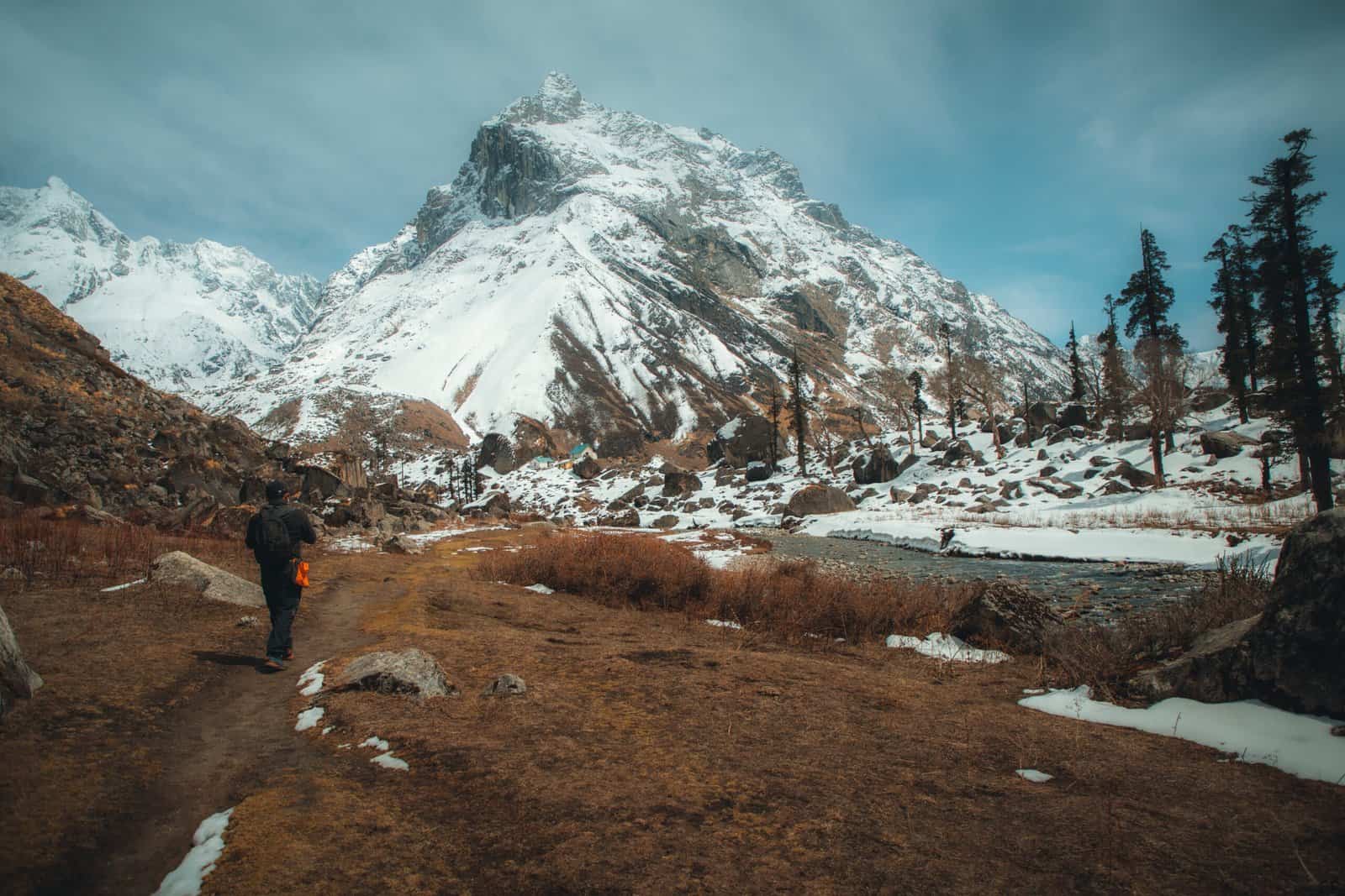
Trekking India’s vast wilderness whether in areas such as Himalayan mountain passes, Western Ghats forests, or central Indian forests requires more than stamina and determination alone. Navigating can be one of the least known but essential skills trekkers need when they set off into unknown territory; some treks may be marked, but others can be difficult during snow, fog or dense forest environments with TrekUp India we have seen how an understanding of compasses, maps and GPS based tools can alleviate anxiety while speeding up journeys while guaranteeing safety during every trek undertaken.
Why Navigation Skills Matter
Indian trekking routes often lack clear and consistent markers, necessitating that trekkers possess navigational expertise to navigate safely. Therefore, all trekkers should possess navigational knowledge as part of their trek experience in India.
Stay Focused Pay attention to where your journey leads, even when its Direction remains obscure.
Energy and Time Saving: Skip unnecessary detours and backtracks.
Be Prepared in Emergency Situations: To avoid becoming disoriented or lost, always return to the campsite or roadhead if you wander from your intended destination.
Be Independent: Rely on yourself instead of waiting around to be guided or led by others.
Use of Maps as Reliable Instruments
A topographic map is one of the most reliable tools for trekkers.
Contours & Elevation Lines display the slope’s steepness; closer lines indicate higher elevation.
Landmarks, such as Ridges, rivers, valleys, and passes, can serve as excellent landmarks to help pinpoint your exact location.
Plan Maps can assist in estimating distance, ascent expected, and potential campsites.
Note: To maximize your TrekUp India experience, print and carry a waterproof map in an envelope or waterproof bag. Make note of your progress by marking out your route with an eraser.
Compass: The Trekker’s Silent Friend
An Unsung Hero in Trekking Compasses can serve as invaluable backup devices on long treks they never run out of batteries!
Basic Usage: To begin using your compass effectively, align the needle towards north and rotate its housing until you find your preferred bearing.
Navigating with Maps: To use maps effectively for navigation, place a compass on each map that follows your chosen route and align its north with that of your map’s north point.
Finding Direction: Rapidly can be especially useful in foggy meadows or snowy environments when landmarks have disappeared, providing much needed guidance.
Note: practice using their compass at home or when walking the area before relying on it when traversing mountain terrain.
Smartphone GPS Apps Provide Modern Support on Treks
Smartphones have revolutionized navigation on treks; however, they should be used responsibly and safely for maximum effect.
Offline Maps can be downloaded for offline viewing using apps such as Gaia GPS, Maps.me, and Google Maps.
Track recording apps allow you to monitor your steps so that, if necessary, they can help you retrace them later on.
Note the locations of campsites, water sources, and exits to make them easier to locate during your adventure.
Note: During colder temperatures, make sure to prolong your battery life. Store your phone in a warm, dry compartment.
Practical Hacks for Indian Trekkers
Combine Tools With maps as the primary resource, GPS for accuracy, and a compass for safety; make use of all three for optimal trekking.
Be sure to monitor your location to avoid becoming lost regularly! Track your current position frequently to stay safe.
Employ Natural Cues: The sun sets in the west, rising again in the east. Rivers tend to flow towards valleys while ridges often link passes.
Rely on multiple devices; their battery drains quickly, signals can fail to transmit, and apps may malfunction always back up your data!
Conclusion
Navigating India’s wilderness requires more than just technological savvy; it also protects from uncertainties and ensures a safe hike. Trekkers who learn to read maps, use the compass, and utilise GPS applications offline can traverse meadows, forests, and passes at high altitudes without fear. At TrekUp India, we’ve seen firsthand how combining traditional techniques with newer technology enables individuals to avoid unnecessary detours, travel more freely, and enjoy their experiences with greater enjoyment and freedom, a capability TrekUp India cannot match.
An effective navigation system doesn’t mean rushing towards your destination; instead, it involves being thoughtful and considerate of the terrain while remaining safe in any given trail environment. When planning a trip, use your map, compass, and GPS not as mere instruments but as guides to explore nature safely and without feeling intimidated.
About Author

Preetam Singh Rawat (Founder)
The person behind this trekking organization is someone who’s spent over a decade – 12 years, to be exact – living and breathing the mountains. With multiple high altitude summits under his belt (we’re talking 6000 to 7000 meter peaks), he’s not just experienced – he’s the real deal.
But what really sets him apart is the sheer number of treks he has guided. He has led over 200 Himalayan expeditions, including well known routes like Bali Pass, Buran Ghati, Rupin Pass, Pin Bhabha, Stok Kangri, and Black Peak. Not just once, but multiple times. So yeah, when it comes to the Himalayas, he knows every twist in the trail and every story the mountains have to tell.
Got questions or want to get in touch? Write to Preetam at preetam@trekupindia.com. He’s always happy to chat about treks, answer your questions, or help you prepare for your next big adventure.
Share this article
Dates For Upcoming Treks
Want To Trek Like Pro?
Basically, watch these videos if you want to trek the same way professional trekkers do and make your skills better. These videos contain useful tips and techniques to further improve your trekking skills itself. These videos actually help both new and experienced trekkers improve their trekking skills. These videos definitely provide useful tips that make your trek better. We are seeing that these videos by Trekup India experts will only help you make your trekking skills better.


Know Everything About Acute Mountain Sickness
Acute Mountain Sickness occurs when people trek to high altitudes above 8,000 feet. This condition itself develops further due to reduced oxygen levels at such heights. Basically, as you go higher up, the air pressure and oxygen levels decrease, which causes the same problem. Acute Mountain Sickness surely causes headache, nausea, vomiting, and dizziness in affected persons. Moreover, peoples also experience difficulty in sleeping during this condition. To avoid mountain sickness, you should actually trek up slowly to higher altitudes. To learn further about this condition itself, watch the videos by Trekup India.
