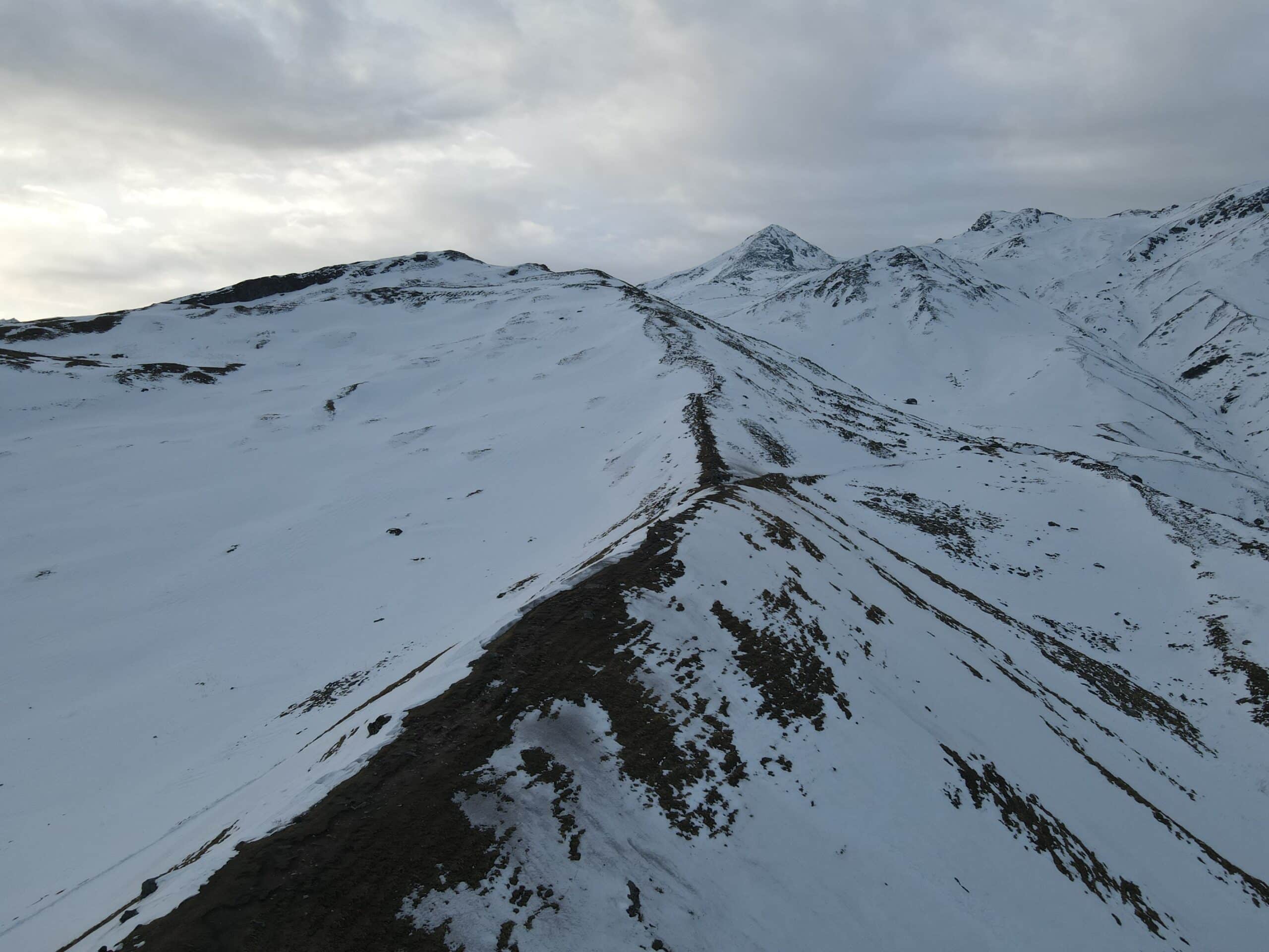
Lingya Ghat Waterfall Trek
Lingya Ghat Waterfall Trek
The Lingya Ghat Waterfall Trek is a unique monsoon hike that is located close to Lavasa Lavasa, which is located within the Western Ghats of Maharashtra. It is a great choice for novices as well as nature enthusiasts The trail leads the hiker through lush rice fields and dense bamboo forest, the moss-covered rocks and takes you to the most elusive secret — a stunning waterfall that flows through a rock cleft beneath an impressive stone pinnacle named “Lingya”.
The one-day hike is renowned by its peaceful landscape, lush forest cover as well as the panoramic panoramas from the Sahyadris. In the months of monsoon the whole route is full of flowing rivers with chirping birds as well as colorful flora. It is an ideal escape from the city bustle.
The hike is about 8 km in total round-trip that includes a gradual descent through a forested gorge as well as a beautiful route to the waterfall’s base. The route is mostly unpaved and unpaved. It includes trees, grasslands streams, and rock sections that provide just the right amount adventure for an active and yet easy day hike.
It’s an amazing experience:
- For weekend adventurers seeking something quick and easy to do in nature
- Photographers are awestruck (thanks to the lush green canopy and the unique pinnacle)
- Beginning trekkers who are looking to discover the Western Ghats
If you’re an individual hiker or with a bunch of buddies searching for monsoon-like magic, Lingya Ghat promises beauty adventure, excitement, and peace wrapped up in one, elusive trail.
Quick Facts:
- Location: Dhamanohol village (near Lavasa), Maharashtra
- Trek Distance: ~8 km (round-trip)
- Duration 5-6 hours, including breaks
- Altitude: ~750m to ~850m
- Difficulty: Easy to Moderate
- Best Season: July to September (Monsoon)
- Attractions: Waterfall, Lingya Pinnacle, forest trail, Lavasa view
Detailed Trail Information and Trek Itinerary of Lingya Ghat Waterfall Trek
Starting Point:
- Village: Dhamanohol (around 13 kilometers in front of Lavasa)
- Altitude: ~750 meters (2,460 ft)
Trek Route Breakdown
Phase 1. Dhamanohol Village to the Temple Trail (0-1 km)
- Duration: ~30 minutes
- The type of trail A wide mud trail with minor ascents
- Terrain Rice fields rural village homes, a slowly ascent
- Landmarks:
- A tiny storage tank for water (on left)
- Local farms, scattered mango trees
- The trail ends at a tiny temple that has a view of the valley
- Difficulty: Easy
Phase 2. Temple towards Forest Entry (1-2.5 km)
- Duration: ~30 minutes
- Trail Type Path narrower with a growing amount of the amount of vegetation
- Terrain A slight ascent up bamboo thickets, bamboo bushes
- Landmarks:
- A string of electric poles that you can follow for way indicators
- A tiny rocky patch in which the trail turns to the left
- Difficulty: Easy to Moderate
3. Forest Descent into Stream Bed (2.5-3.5 km)
- Duration: ~45 minutes
- The type of trail Forest Trail with loose mud, rock and a steep drop
- Terrain The forest is lush and green and shaded canopy. Wildflowers
- Landmarks:
- Bamboo bridge or wood logs that are utilized for crossing
- Birds such as the Malabar Whistling Thrush are heard
- Challenges:
- The monsoons bring slippery mud
- Areas prone to leech (wear long-length socks)
- Difficulty: Moderate
Phase 4 Stream Crossing to Waterfall Base (3.5-4 km)
- Duration: ~30-40 minutes
- Track Type trail: Rocky and wet trail
- Terrain small creek crossings, moss-covered boulders
- Landmarks:
-First glimpse of Lingya pinnacle
–Last steep ascent along an unending stream
-The waterfall’s base is reached and there’s a pools below the falls
- Waterfall:
- ~60-70 feet high
- The rock is carved out from a crevice, scenic and imposing during monsoon.
- Difficulty moderate due to slick rocks
Return Trail
- The same trail leads back to Dhamanohol village
- Duration: ~1.5-2 hours depending on pace
- Forest climbs uphill are the toughest part of the return
Navigation Aids:
- Find electricity poles as well as red ribbons that are attached to trees.
- Make use of offline GPS applications like Wikiloc or Trek Map India If you’re hiking on your own.
- The local guidebooks are recommendedThere are forks on the trail at some points, and it can become confusing when it rains.
Final Tip:
Lingya Ghat is not just the trail, but an unadulterated monsoon experience filled with greenery, streams as well as villages. It’s a remote trail that’s organic, so be sure to take all your trash home, refrain from the loud sounds, and pay gratitude to the land as well as the locals.
Trek Highlights of Lingya Ghat Waterfall Trek
- Monsoon Wonderland The waterfalls move within lush greenery creating a stunning visual experience .
- Iconic Pinnacle Lingya – a natural rock structure of 40 feet that is revered in the local community and offers breathtaking views of The Western Ghats and Konkan plains Forest & Streams: A tranquil forest descent with stream crossings and the appearance of a waterfall that emerges out of a tiny cave-like niche
- Lavasa Extension: Take in the beautiful ambiance and Lakeside views in the Lavasa city’s post-trek
How To Reach for Lingya Ghat Waterfall Trek
By Private Vehicle (Pune – Dhamanohol)
- Distance total: 75 km (Pune to Lavasa 60 km plus 13 km from Dhamanohol)
- Suggested route: Pune – Chandani Chowk – Pirangut – Lavasa – Dhamanohol. There is good maintenance on roads till Lavasa but beyond that be prepared for potholes, gravel and potholes
By Public Transport
- from Pune The buses that run departing from Swargate to Lavasa commence at around 6 am; The frequency is not unlimited. Hire local transport or take a taxi ride from Dhamanohol to Dhamanohol
- from Mumbai The Mumbai area is not served by a direct bus. Journey via Pune (train/bus) and then continue like above
Best Time to Visit Lingya Ghat Waterfall Trek
- Monsoon Peak: The best time to visit is between July between July and September (some claim to be in October) the time when waterfalls appear at their most spectacular
- Early mornings There is less crowds and better trails when you get up at a reasonable time
What to Carry For Lingya Ghat Waterfall Trek
- Footwear The best quality, durable and grippy trekking shoes are vital when you’re in monsoon-like conditions that are slippery .
- The essentials include: 1L food, water, snack as well as the raincoat (poncho/raincoat) and a trek stick as well as insect repellent. an outfit change
- Security First-aid kit torch, first aid kit and waterproof case for electronic devices
Tips & Precautions
- Get the guide starting from the village’s base. The trail has signs such as electric poles and a temple that helps you get orientated.
- Do not litter and be respectful of the natural sacredness .
- Pay attention to the slippery rock–especially close to streams and waterfall crossings .
- Follow local customs–the top of the mountain is revered and therefore, avoid climbing up it.
Dates For Upcoming Treks
Want To Trek Like Pro?
Basically, watch these videos if you want to trek the same way professional trekkers do and make your skills better. These videos contain useful tips and techniques to further improve your trekking skills itself. These videos actually help both new and experienced trekkers improve their trekking skills. These videos definitely provide useful tips that make your trek better. We are seeing that these videos by Trekup India experts will only help you make your trekking skills better.







Know Everything About Acute Mountain Sickness
Acute Mountain Sickness occurs when people trek to high altitudes above 8,000 feet. This condition itself develops further due to reduced oxygen levels at such heights. Basically, as you go higher up, the air pressure and oxygen levels decrease, which causes the same problem. Acute Mountain Sickness surely causes headache, nausea, vomiting, and dizziness in affected persons. Moreover, peoples also experience difficulty in sleeping during this condition. To avoid mountain sickness, you should actually trek up slowly to higher altitudes. To learn further about this condition itself, watch the videos by Trekup India.
