Irshalgad Trek
Irshalgad Trek
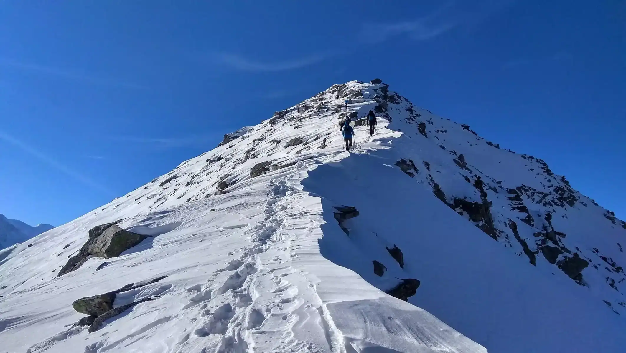
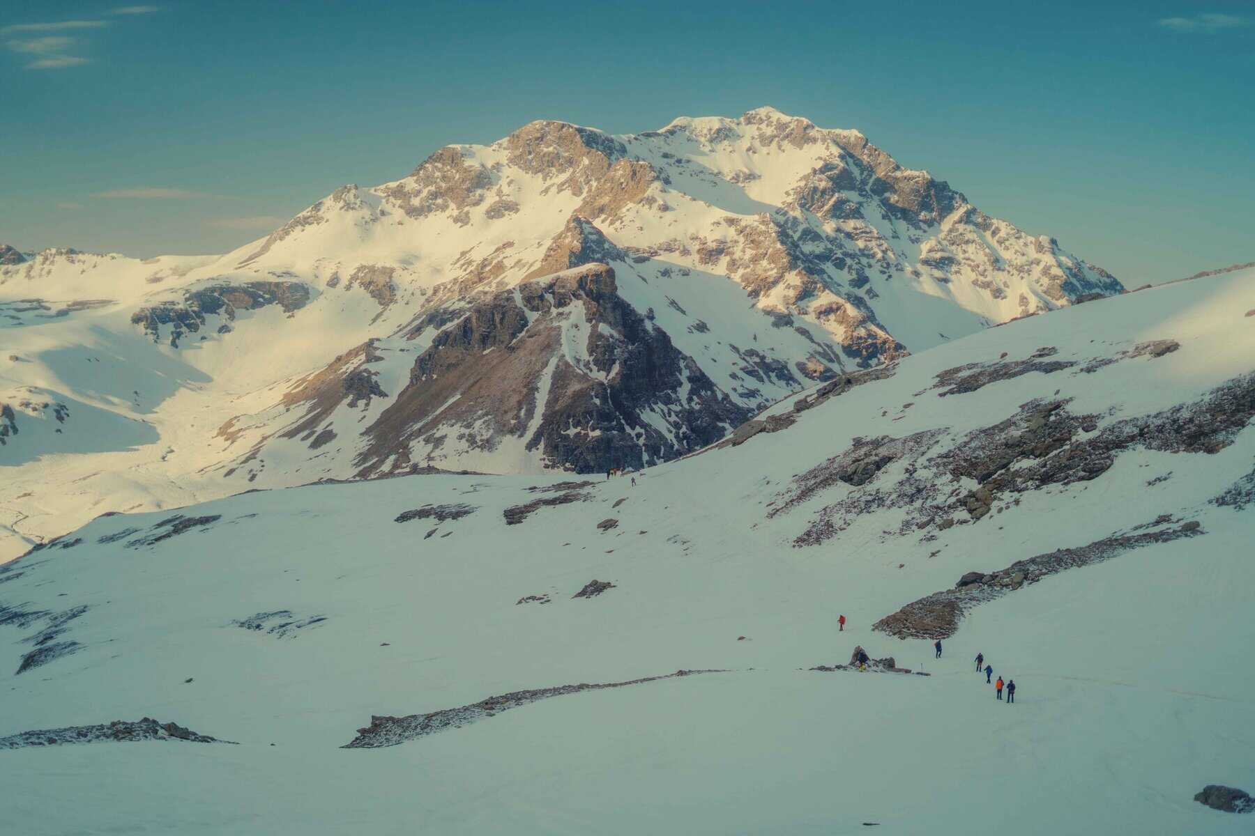
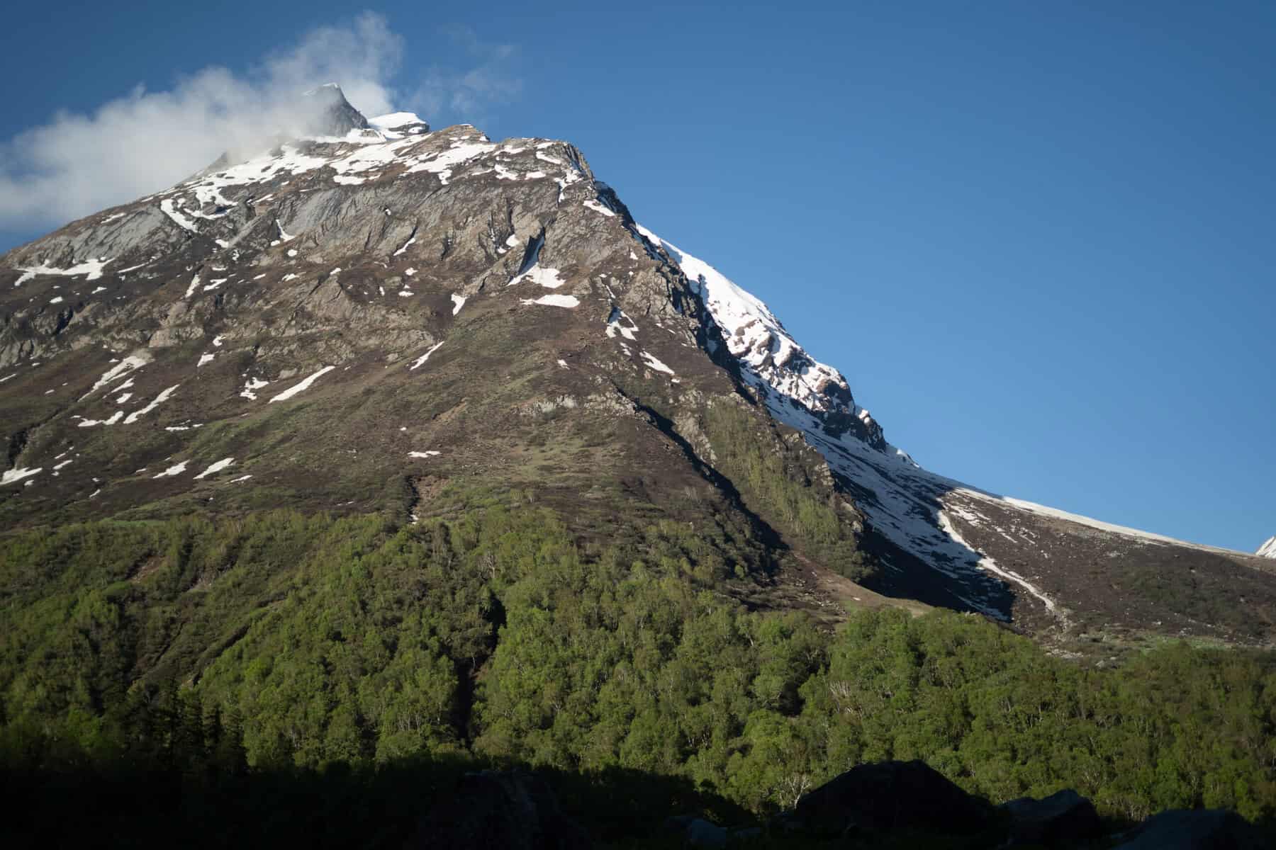
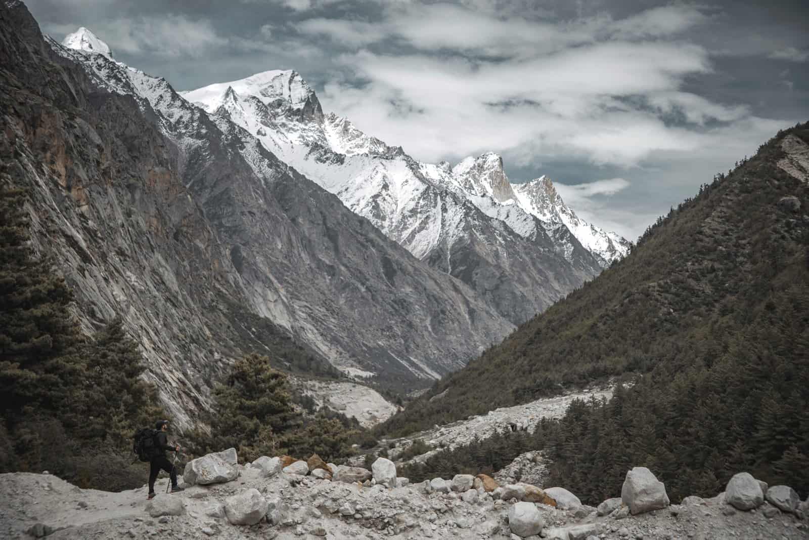
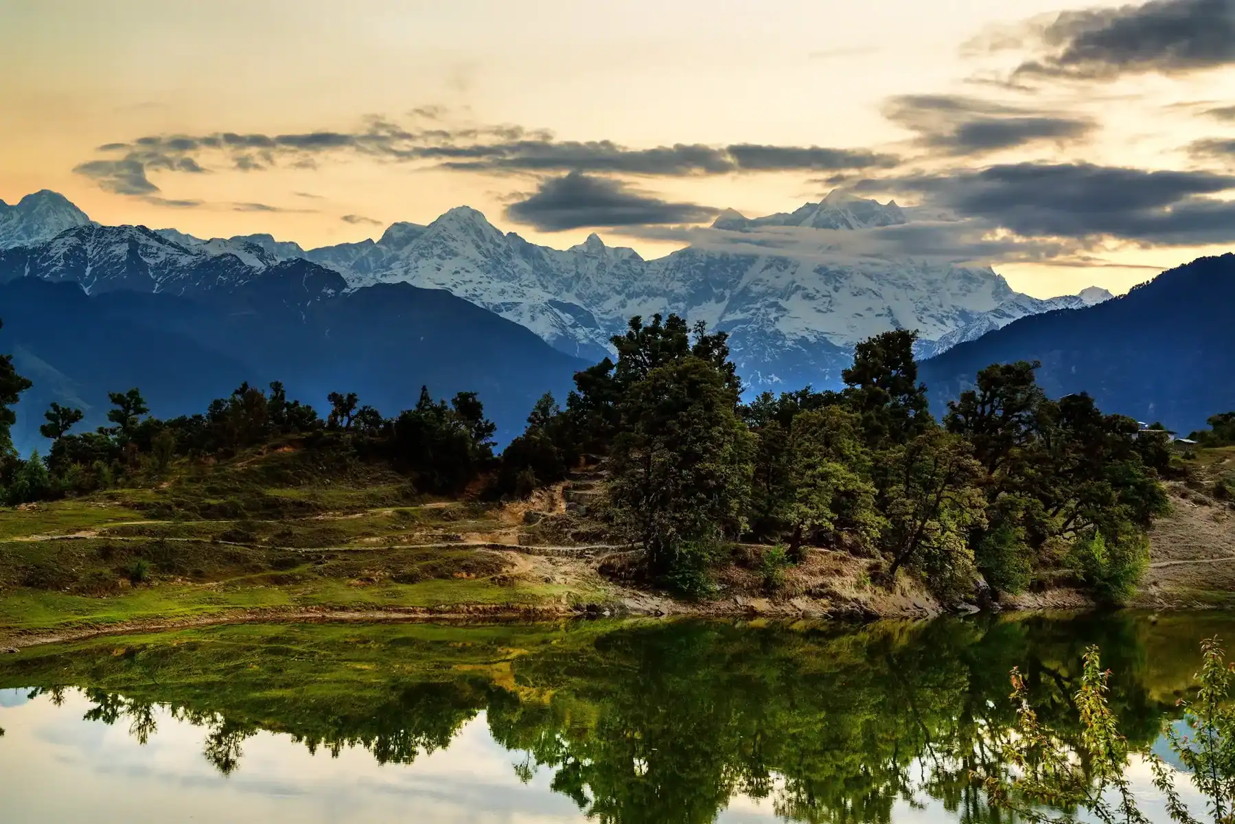
Irshalgad Hill, with its unique boat-shaped crest, stands out against Matheran’s background. This fort, sometimes referred to as the fort’s sister of Prabalgad, provides an exhilarating trekking experience for all levels.
Climbing Irshalgad Trek We c, an archivist, into three sections, offering one of the toughest routes up to its summit. The last section, which leads up to the pinnacle, requires the right equipment for rock climbing as well as expert advice because of its risky nature. For solo trekkers, it is highly recommended to stop on stage 2 as the final section has been subject to numerous unfortunate events.
The best time to do Irshalgad trek is between June and March, as the scenery transforms into a lush green paradise, especially in the monsoon time. The trail is characterized by rock-cut staircases as well as small caves. An amazing natural rock formation called the “Nedhe” is a wind-carved cave that is the Fort’s most distinctive feature.
Irshalgad Fort is easily accessible via Mumbai and is considered a moderately easy trek, making it perfect for families, beginners, or solo travelers. Sondai can be reached from three routes, including one leading up to Prabalgad Ridge and connecting three forts within its area. Sondai, Peb, and Karnala Kothaligad Fort are popular trekking spots near Visapur Fort.
Best Time for Irshalgad Trek
The treks of Sahyadri are absolutely amazing during the monsoon seasons. Irshalgad is a particular highlight. It is an absolute sight with its lush green surroundings and cloudy sky. But, climbing to the needle hole the place where ladders are fixed, could be a little difficult because of the slippery surface. But the overall adventure is awe-inspiring. It is also a great season to go, providing breathtaking panoramas of Morbe at the golden hours of sunset and sunrise, which makes it an ideal selection for those who love camping.
How difficult is Irshalgad Trek
The the towards the Irshalgad base is fairly easy, with a smooth trail. But the climb from the base up to Irshalgad Nedhe, also known as the Irshalgad Nedhe, also known as the needle holes, is difficult and not recommended for families with children, beginners, or people who are afraid of high altitudes. The climb includes two almost horizontal rock faces, where residents have constructed ropes and ladders to assist.
The best way to go about it is to do this section of the climb with a professional guide to assist with the climb. Climbing on rocks becomes tougher during monsoon season because rocks can become slippery. If you can navigate these tricky sections, you’ll be able to be able to reach the top.
The summit of the mountain is a single mountain with a flag. It is a demanding thing that is generally not attempted by regular hikers. The mountaineering challenge requires a high level of techniques and should not be undertaken without knowledge.
Irshalgad Trek Detailed Trail Information
Irshalgad Trek, located near Panvel and offering spectacular views and diverse terrain for exploring, is an exciting day trek with memorable sights and thrilling climbing challenges. Below is an extensive description of this trail, which can assist in safely traversing it successfully and efficiently.
Trail Overview:
- Irshalgad Trek Difficulty level: Easy – Moderate please note – The final climb will require technical equipment)
- Altitude: 3,370 feet (1,027 meters)
- Duration Total: 3 to 4 hours (round round trip)
- Best Season: June to March
- Starting Point: Irshalwadi Village
- Nearest Railway Station: Panvel
Trek Route Breakdown Into 3 Sections
Section 1. Base Village to Irshalwadi (Easy 45mins up to one hour)
- The hike begins from the tiny village of Nanivali (or Chowk, situated close to Karjat and Panvel).
- The beginning trail is a gradual ascent through fields of open land and rocky patches.
- After about half an hour, you’ll arrive at Irshalwadi Village, the settlement that serves as the base for the trek. Here, you can stop and replenish water bottles.
- From here, the summit of Irshalgad is visible. Afterwards, the trail gets more picturesque.
Section 2. Irshalwadi towards the Nedhe (Moderate from 45 minutes up to one hour)
- The section is a steeper climb, with some rocky trails as well as occasional scrambles of boulders.
- The trail includes steps cut from the rock and tiny caves, adding to the thrill.
- Soon, you will be at Nedhe (Needle Hole), a naturally created cavity within the rock. It is the most recognizable fort’s characteristic.
- Most trekkers end their journey at this point because the last climb up to the top can be dangerous without the right equipment.
Section 3: Nedhe to Pinnacle (Difficult – Requires Rock Climbing Gear)
- The last part is extremely high and needs the ability to climb a rock with technical skills and safety equipment.
- Because of its strenuous nature, it’s not suitable for solo trekkers or those just beginning their trek.
- The summit has stunning panoramas over Prabalgad, Matheran, Karbala, and other Sahyadri peaks.
How to Reach For Irshalgad Trek
Where are Irshalgad Fort located? Irshalgad is situated in the Khalapur Taluka region of Raigad, Maharashtra. It is located near Morbe Dam, Matheran range, and Prabalgad, the range of mountains. Irshalgad is just 20 km from Panvel, 60 km from Mumbai, and 100 km from Pune. The main village of Irshalgad lies in Nanivali, and Chowk is the nearest big city.
Trains To Chowk: Chowk railway station is the closest station on this hike. If you can get there from Chowk station, you don’t require additional transport to complete this hike. However, there are a few trains that stop at Chowk. So, Panvel & Karjat stations become the closest stations. From there, you’ll need to be able to use local transportation to get to Chowk to get to Irshalgad
by road to Chowk From Panvel, one can easily board an ST bus or EECO Rickshaw that goes towards Karjat, Khopoli & get there at Chowk Village located on the highway. ( locations – Panvel Bus Stand and Panvel Rickshaw Station ) At Karjat Station, hop on an ST bus, or EECO Rickshaw heading toward Dand-Phata, Panvel, and get off at Chowk village along the highway. ( Karjat Bus stand & Rickshaw stand )
Formula Chowk towards Nanivali: Once at Chowk or Chowk Station in Chowk, you’ll be required to walk to Nanivali village for around 20 minutes if you don’t have rickshaws that are small on Chowk road. If you own your automobile, you can reach Nanivali straight on a highway made of tar. It is also possible to stop by Morbe Dam before Nanivali to breathe in an air-conditioned breath.
Dates For Upcoming Treks
Want To Trek Like Pro?
Basically, watch these videos if you want to trek the same way professional trekkers do and make your skills better. These videos contain useful tips and techniques to further improve your trekking skills itself. These videos actually help both new and experienced trekkers improve their trekking skills. These videos definitely provide useful tips that make your trek better. We are seeing that these videos by Trekup India experts will only help you make your trekking skills better.




Know Everything About Acute Mountain Sickness
Acute Mountain Sickness occurs when people trek to high altitudes above 8,000 feet. This condition itself develops further due to reduced oxygen levels at such heights. Basically, as you go higher up, the air pressure and oxygen levels decrease, which causes the same problem. Acute Mountain Sickness surely causes headache, nausea, vomiting, and dizziness in affected persons. Moreover, peoples also experience difficulty in sleeping during this condition. To avoid mountain sickness, you should actually trek up slowly to higher altitudes. To learn further about this condition itself, watch the videos by Trekup India.
