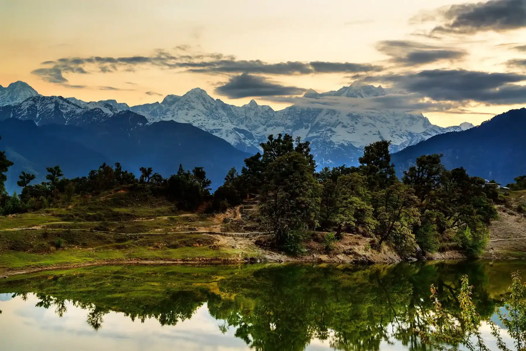
Huliyurdurga Trek
Huliyurdurga Trek
Huliyurdurga is one of nine fortifications known as Navadurgas and is located near Bangalore. It is said to have been built by Kempe Gowda, the founder of Bengaluru. It shares its name with its hometown. “Huli” refers to tigers, while “Durga” denotes forts, making this term an apt reference.
Huliyurdurga, located 80 kilometers southwest of Bangalore, provides an exciting trekking adventure for those seeking something more challenging. The terrain can be steeper than your average trek! Tumkur Town provides access via Tumkur Branch Road, approximately 22 km further south.
Best Time to Visit Huliyurdurga Trek
The best time to trek Huliyurdurga is in the dry, cooler months:
- October to February:
- The weather: Pleasant and mild temperatures provide comfortable hiking conditions.
- Accessibility Clear skies and cool air improve the picturesque perspectives and overall trekking experience.
- Monsoon Season (June to September):
- Things to Consider: The trails become lush and green, but they could also be treacherous and difficult. If you opt to trek at this time, a little extra caution and the right gear are necessary.
- Summer (March to May):
- Problems The higher temperatures can result in a harder trek. Start early in the morning; adequate water intake is essential when trekking in summer.
Make your plans based on the weather conditions you are comfortable with, and read the forecast for your area prior to setting off. Take pleasure in the scenic and historic scenery of Huliyurdurga!
Highlights of the Huliyurdurga Trek

Ancient Heritage:
- Start your trek from Huliyurdurga Village, where the trail begins near historic sites including a small cemetery as well as the ruins of an ancient temple.
- Find the remains of an old temple and fort at the top, including objects like an old Ragi grinding stone dating into the past.
Scenic Landscapes:
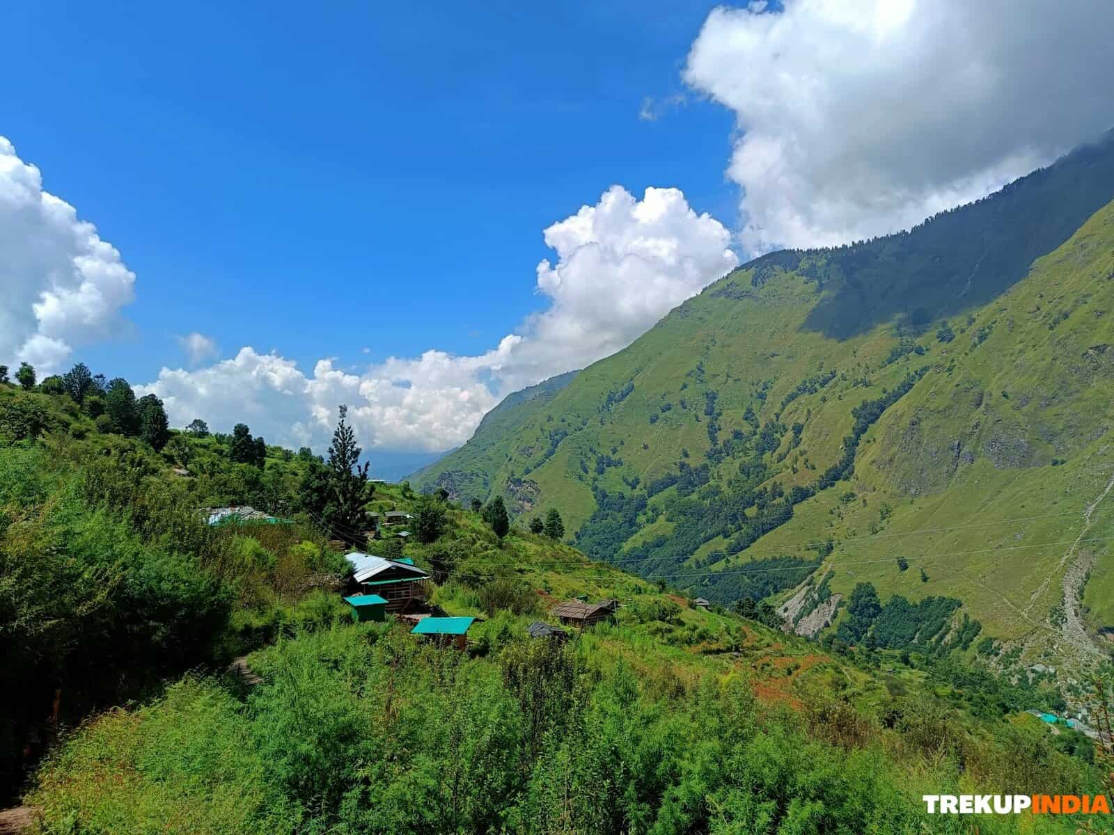
- Get a panoramic view when you travel across lush, transformative landscapes ranging from asphalt roads that are dotted with vegetation to tranquil, shady forests.
- Take in breathtaking views of surroundings valleys and hills when you approach the fort. This is a wonderful reward for all your hard work.
Cultural Insights:
- Journey through a region rich by local culture and tradition in which modern-day remnants mix with myths about battles in the past and strongholds of the royal family.
Challenging Terrain:
- Take on a range of terrains that include easy paths and steep climbs narrow rock walls and even a treacherous slippery stretch of sand – ideal for those looking for a thrill.
- Make use of natural handholds and crevices or even trees embedded for support and make this trek an actual challenge of strength and endurance.
Optional Extensions:
- To those who want to continue your adventure, a additional trek towards close by Hemagiri Hill provides amazing scenery as well as an enthralling viewpoint from the top.
This trek is a rich mix of culture, history and beauty of nature, ideal for those who want adventure and exploration.
Detailed Trek Information about Huliyurdurga Trek
The trek will take you through Huliyurdurga Village to the ancient Huliyurdurga Fort. It’s about 3 km and has an elevation gain of approximately 460 feet. It is estimated that you will spend about a half-hour walking the trail.
Starting in Huliyurdurga Village
- Begin at the Village:
- Your journey begins at Huliyurdurga Village, which spans 11 square kilometers. It also has an impressive Police Station accessible from the bus stop in town. You can start your trek along the asphalt road, which passes by the small cemetery on the left.
- Initial Route:
- Continue the route until you reach an intersection close to the water tank. Pick your left route (suitable for bicyclists), and begin your upward trek. Within five minutes, you’ll come across the ruins of a temple that was once in use. This is a great place to park your bike and signify the beginning of your hiking trail.
Trekking Through Changing Landscapes
Transition to Lush Forest: As you continue uphill, the area transforms into a verdant forest filled with thriving plant life, especially after rainfall. Continue for seven to ten minutes until you arrive at the intersection at which a temple dedicated to Ganesha is located to your left. From there, you can follow the main trail to explore further.
Navigational Cautions:
- Look out for the small blue directional arrows with blue lines; if you’re not familiar with the region, you might miss them.
- Do not take a left-ward trail that leads straight towards a cliff edge and an impasse.
- For those seeking a more adventurous trek, a left-to-right route could lead you to rugged terrain where you may come across a tiny water body and an idol of Nandi. Be aware that the dense undergrowth, as well as the thorny vegetation, can hinder navigation.
The Critical Ascent: In about 8 minutes, you’ll face the most challenging section of the climb- soaring rocks and seemingly inaccessible routes. This part requires the basics of rock climbing:
Climbing Tips:
- Seek out natural handholds, crevices, and even a tree embedded into the rocks for extra assistance.
- Beware of flows of water that can cause surfaces to become slippery.
- Step by step, climb steadily for about 12 feet. If you are in summer, less slipperiness can ease the climb.
Final Stretch to the Summit: In the next section, after which you’ll come across the narrow, slippery Sand stretch with only a few feet. Make use of all the energy and strength to get through this obstacle. After completing this tough segment, relax and take a 10-minute trek towards the top.
Reaching the Summit
- At the Top: Once you have reached the hill’s summit, look at the ruins of an old fortification and temple that evoke Bangalore hills forts. Keep an eye out for an old ancient ragi stone and enjoy the spectacular panoramic views of the Huliyurdurga scenery. Consider the rich and varied history, which dates back to the 16th-century fort, which once was a strong defensive base.
- Descent: You can retrace your steps following the exact route for a return trip to the starting place. The descent will take about 20 minutes, but caution is required for those traversing rocky terrain sections. Utilize both feet and hands for an uninvolved descent.
Additional Information
- Improved Routes: If you have information about alternative or improved trekking routes within the Huliyurdurga region, please share your experiences to improve the experience for future trekkers.
- Optional Extension: Consider taking a short side trek to nearby Hemagiri Hill if available. It’s easily accessible from an adjacent roadhead and requires only a brief walk.
Take a trip through Huliyurdurga, a trek that combines the best of nature, historical fascination, and the excitement of physical exertion!
How to Reach Huliyurdurga
Nearest Airports and Railway Station
- Nearest International & Domestic Airport:
- Kempegowda International Airport, Bengaluru
- Nearest Railway Station:
- Maddur Railway Station
- (From Maddur, you will be required to catch a bus to get to Huliyurdurga.)
Reaching Huliyurdurga by Your Vehicle
- Self-Drive: If you plan to travel in your car, follow Google Maps navigation for a smooth trip from Huliyurdurga.
Reaching Huliyurdurga by Bus
There are three bus routes from Bangalore:
- From Maddur (Ramanagara District):
- Departure Points: Bangalore Majestic or Bangalore Railway Station (SBC).
- The route: Take a bus or train straight to Maddur. When you’re there, go to the bus stop, where buses that direct to Huliyurdurga are on offer.
- From Kunigal:
- Destination Points: Bangalore – catch buses to Nelamangala or buses headed toward Hasan/Mangalore.
- Directions: Alight at Kunigal Junction and proceed towards Kunigal, where you’ll be able to take a direct bus to Huliyurdurga village.
- From Magadi (Mandya District):
- Departure Points: Bangalore Majestic.
- The route: Take a direct bus from Maddur and then change to a bus that will take you toward Huliyurdurga.
Pick the one that best matches your travel plans. Enjoy your trip through Huliyurdurga!
Essentials for the Huliyurdurga Trek
- A well-stocked First Aid kit, including:
- Scissors
- Band-aids (regular and waterproof)
- Analgesic spray (Relispray, Volini, etc.)
- Antiseptic Liquid (Savlon, Dettol, etc.)
- Antiseptic powder (Povidone-Iodine-based powders like Cipladine, Savlon, etc.)
- Cotton roll and bandage
- Crepe Bandage
- 1-inch wide medical tape (paper or cloth)
- Micropore tape
- Tablets for motion sickness (Avomine) and acidity (Gelusil, Digene, etc.)
- Mild pain relief tablet (Crocin)
- Identity Card
- Cap, scarf, bandana, and sunglasses
- At least two litres of water
- Lemon, salt, or an electrolyte drink (Electoral/Gatorade/Glucon D, etc.)
- High-calorie snacks (nuts, dry fruits, home-baked cake, etc.)
- Safety pins, rubber bands, and a whistle (useful in emergencies)
- Quick-drying T-shirts (preferable over cotton tees)
- Poncho (only during monsoons)
- Plastic sheet to wrap electronic devices (only during monsoons)
- Sunscreen (SPF 50+)
- Trekking poles (optional)
Remember to always seek advice from a physician before consuming any medication.
Dates For Upcoming Treks
Want To Trek Like Pro?
Basically, watch these videos if you want to trek the same way professional trekkers do and make your skills better. These videos contain useful tips and techniques to further improve your trekking skills itself. These videos actually help both new and experienced trekkers improve their trekking skills. These videos definitely provide useful tips that make your trek better. We are seeing that these videos by Trekup India experts will only help you make your trekking skills better.




Know Everything About Acute Mountain Sickness
Acute Mountain Sickness occurs when people trek to high altitudes above 8,000 feet. This condition itself develops further due to reduced oxygen levels at such heights. Basically, as you go higher up, the air pressure and oxygen levels decrease, which causes the same problem. Acute Mountain Sickness surely causes headache, nausea, vomiting, and dizziness in affected persons. Moreover, peoples also experience difficulty in sleeping during this condition. To avoid mountain sickness, you should actually trek up slowly to higher altitudes. To learn further about this condition itself, watch the videos by Trekup India.
