Gaumukh Tapovan Trekking Guide: Perfect for Beginners or Pros?
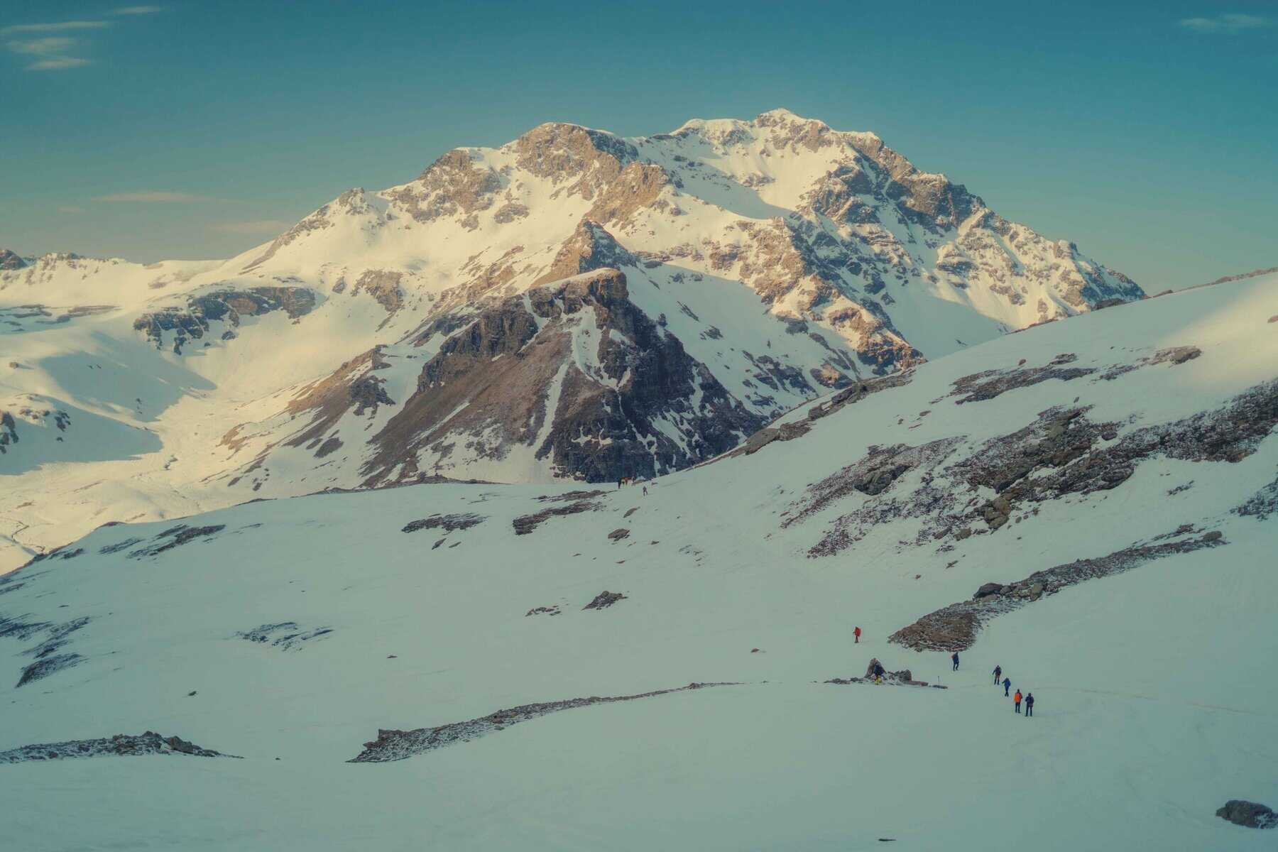
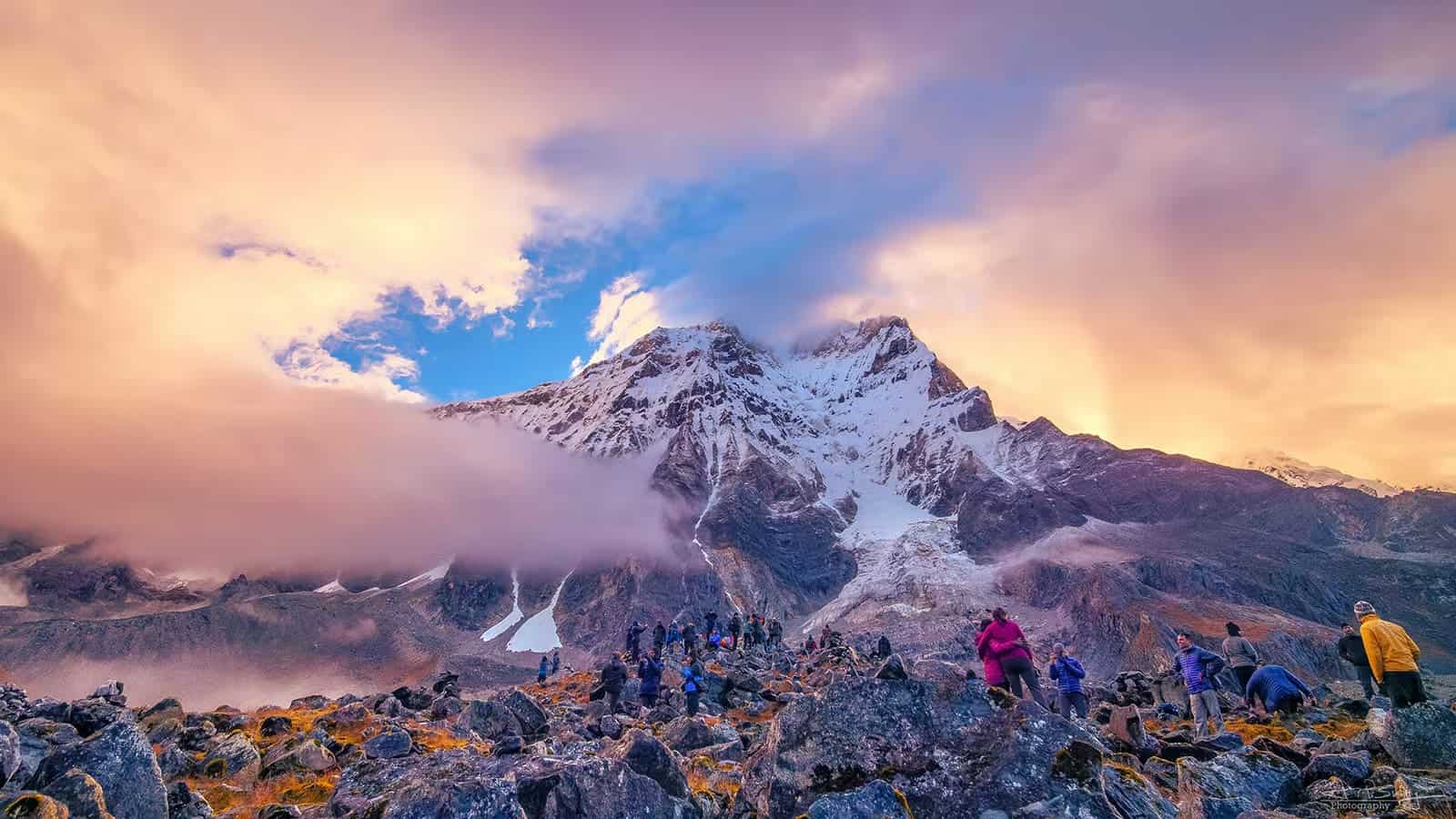
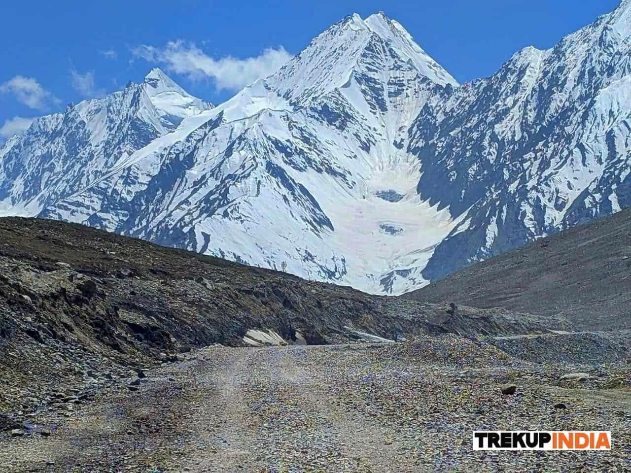
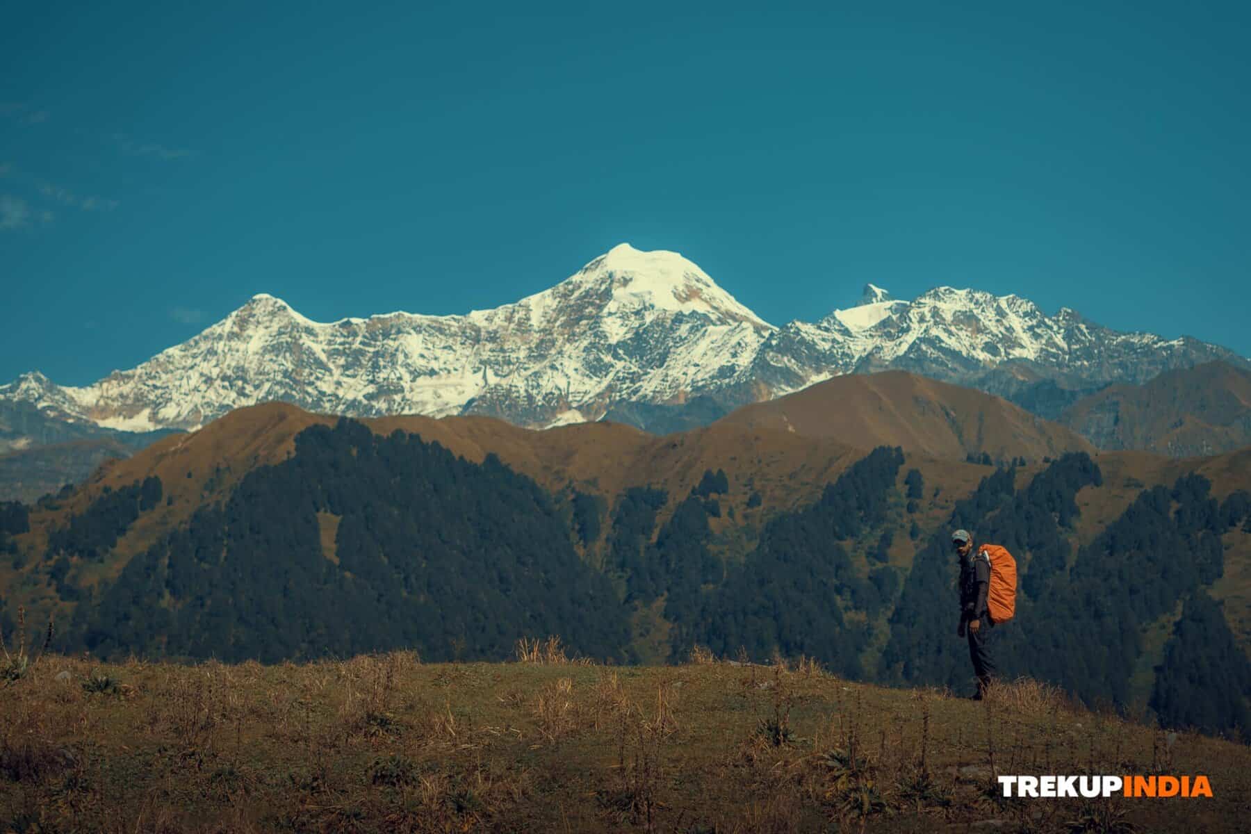
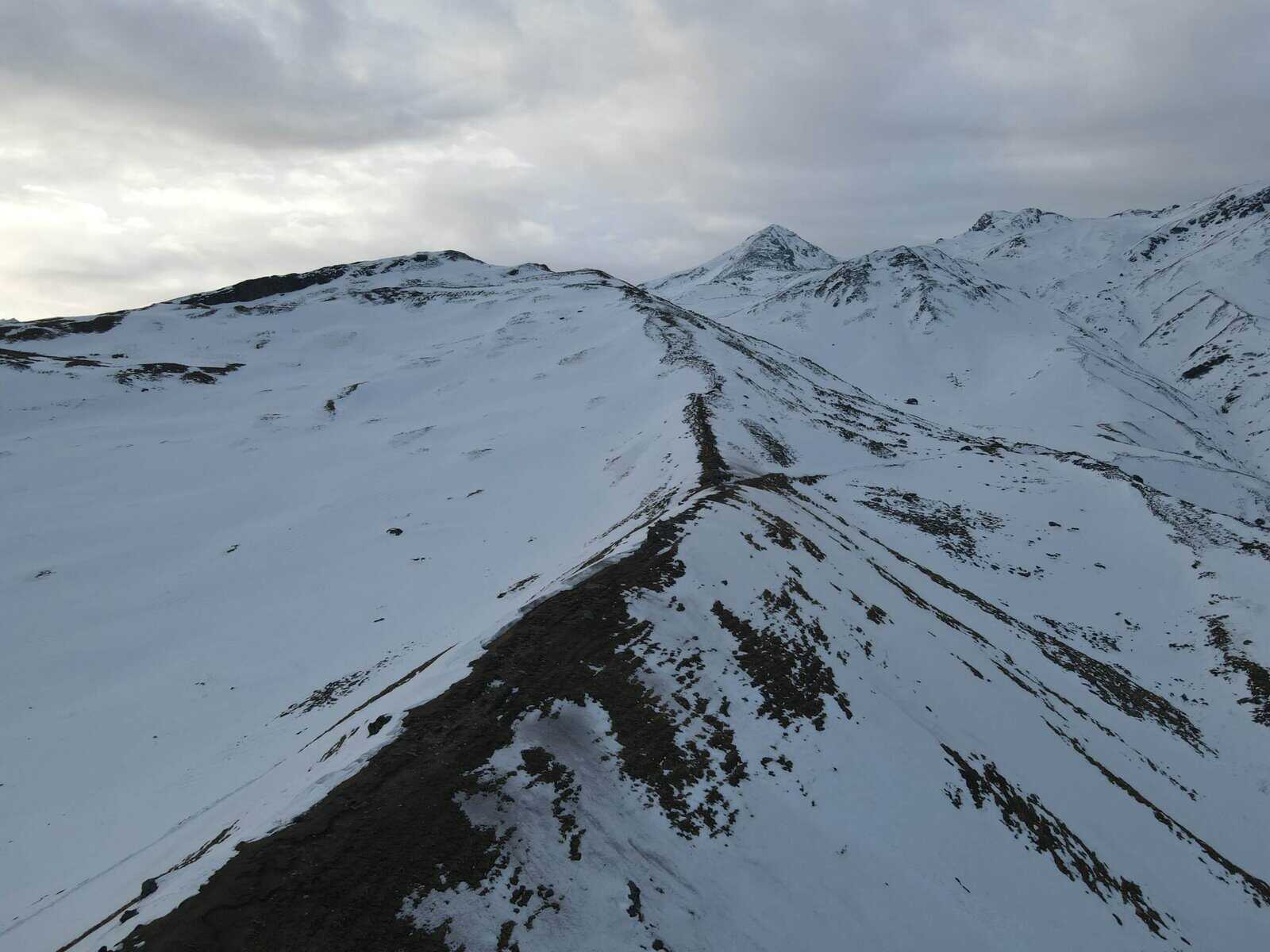
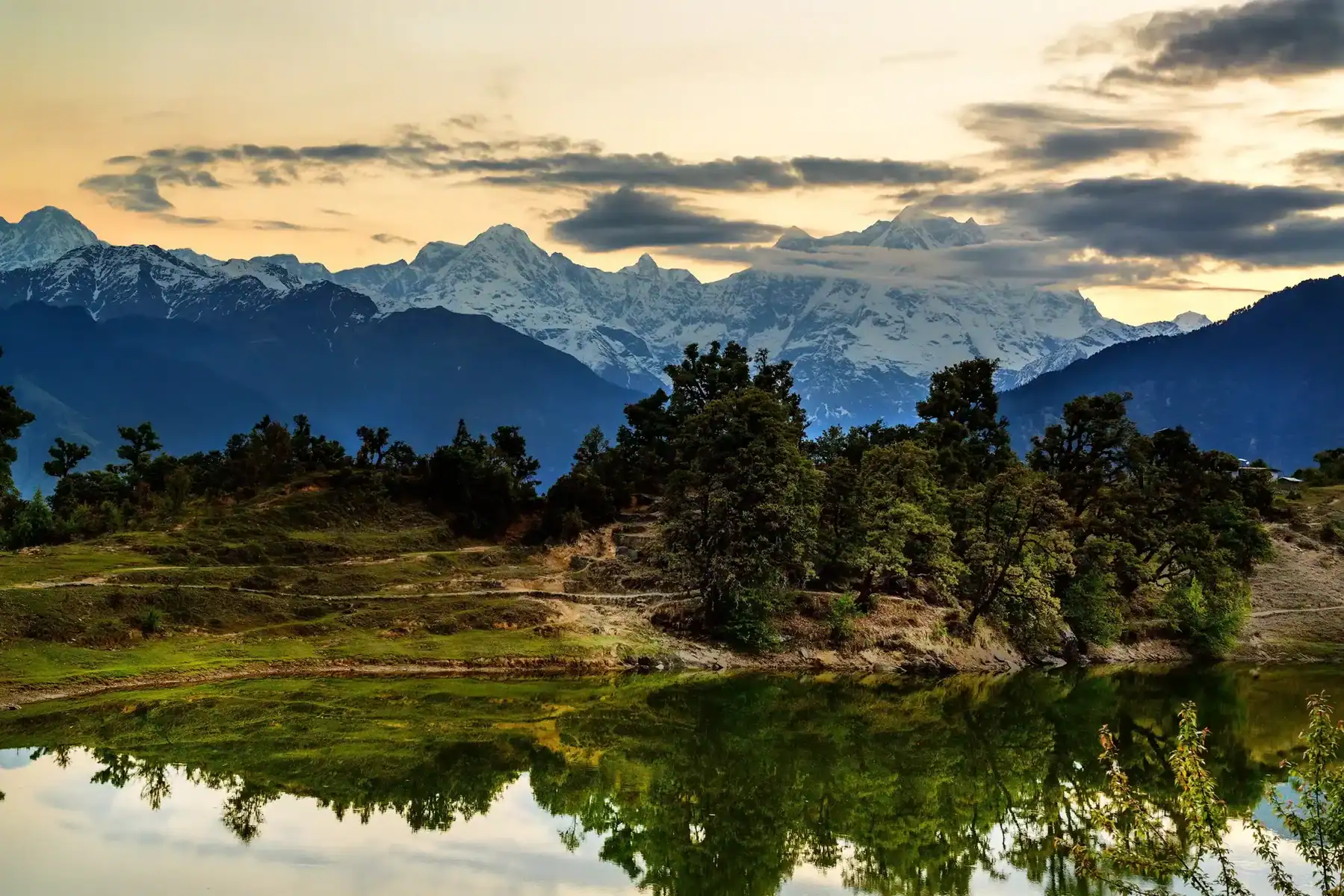
Discover Uttarakhand on an unforgettable Gaumukh Tapovan Trek, an exceptional high-altitude trek offering adventure, spiritual significance, and breathtaking Himalayan splendour! Start at Gangotri for this breathtaking trek along the Bhagirathi River to Gaumukh and see where the Ganges originates before continuing upstream to Tapovan at 4,400 metres, an alpine pasture offering breathtaking views from Mount Shivling and the Bhagirathi River. There can be difficulties encountered while climbing mountains, such as steep elevations, glacier crossings, and rugged terrain; experts in the field often prefer it; however, well-prepared beginners with guidance from knowledgeable guides may take on this challenge with the proper attitude and practice. Challenges such as low oxygen levels, freezing terrain, and basic campsites cannot be avoided; however, facing them head-on and reaping their rewards is truly rewarding. Gaumukh Tapovan provides an unrivalled combination of spiritual energy, unspoiled natural beauty, and peaceful trekking routes for an unforgettable and revitalizing Himalayan experience.
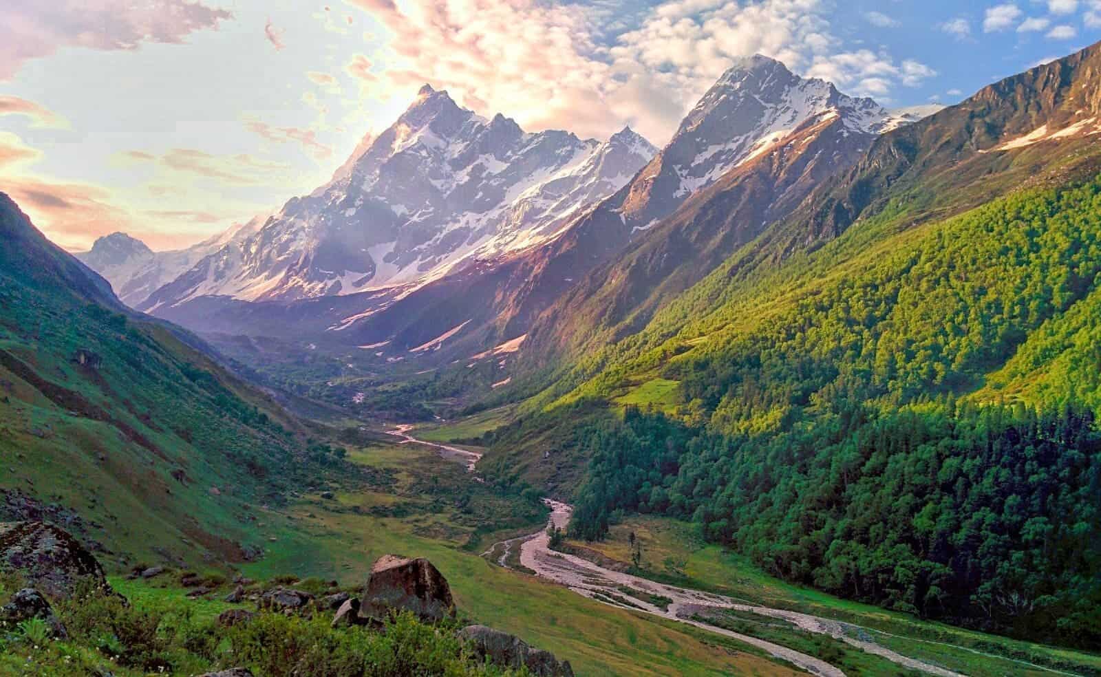
Bhagirathi runs with energy from the Garhwal Himalayas deep within, flowing toward Gangotri Glacier at 30 kilometres in length and across an immense landscape of stones and boulders until eventually connecting with the Alaknanda River in Devprayag to form Ganga River which travels over 2700 kilometres throughout its course to provide vital nourishment to India’s entire population. At 300 vertical metres above Gaumukh, an inviting expanse of rocks becomes transformed into stunning Tapovan meadows filled with vibrant and flourishing meadows brimming with colour. Exploring Gaumukh Tapovan may help us better understand some of our most profound beliefs as well as cultural traditions. Although a well-known trail for pilgrims and easily accessible, don’t make the mistake of thinking it’s easy. Although technically traversing a national park, there may be issues to keep an eye out for along the way.
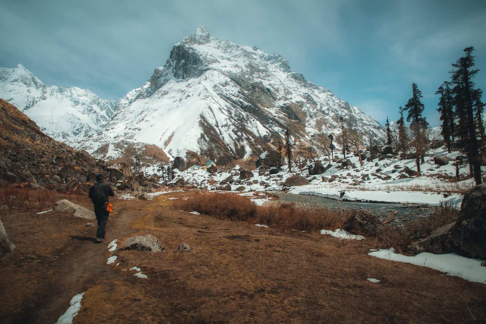
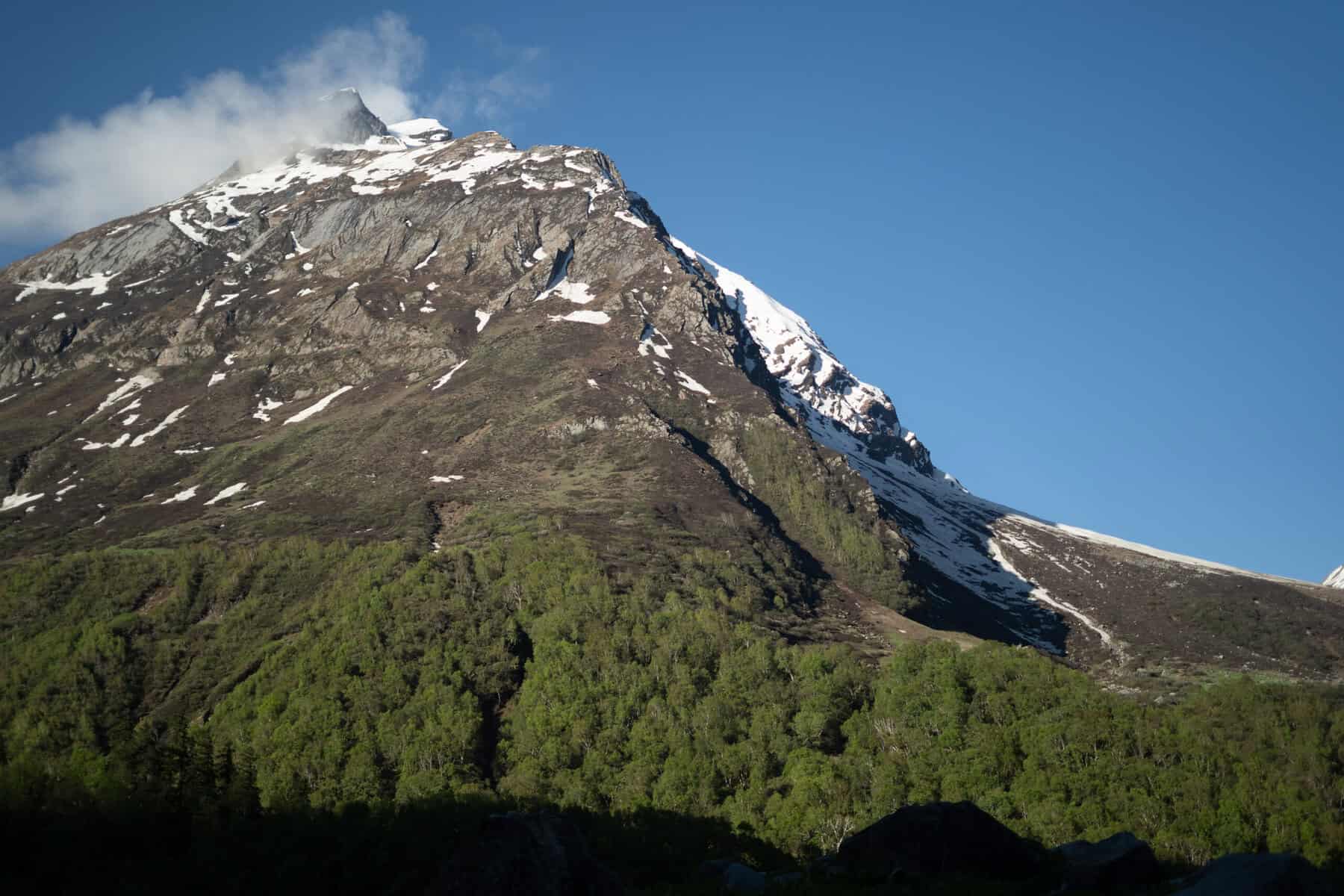
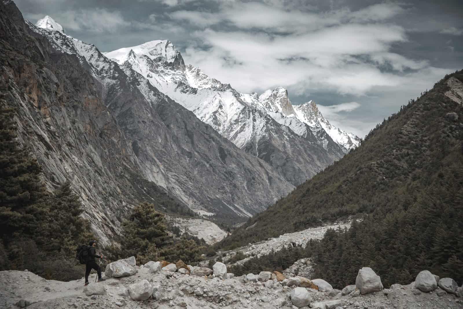
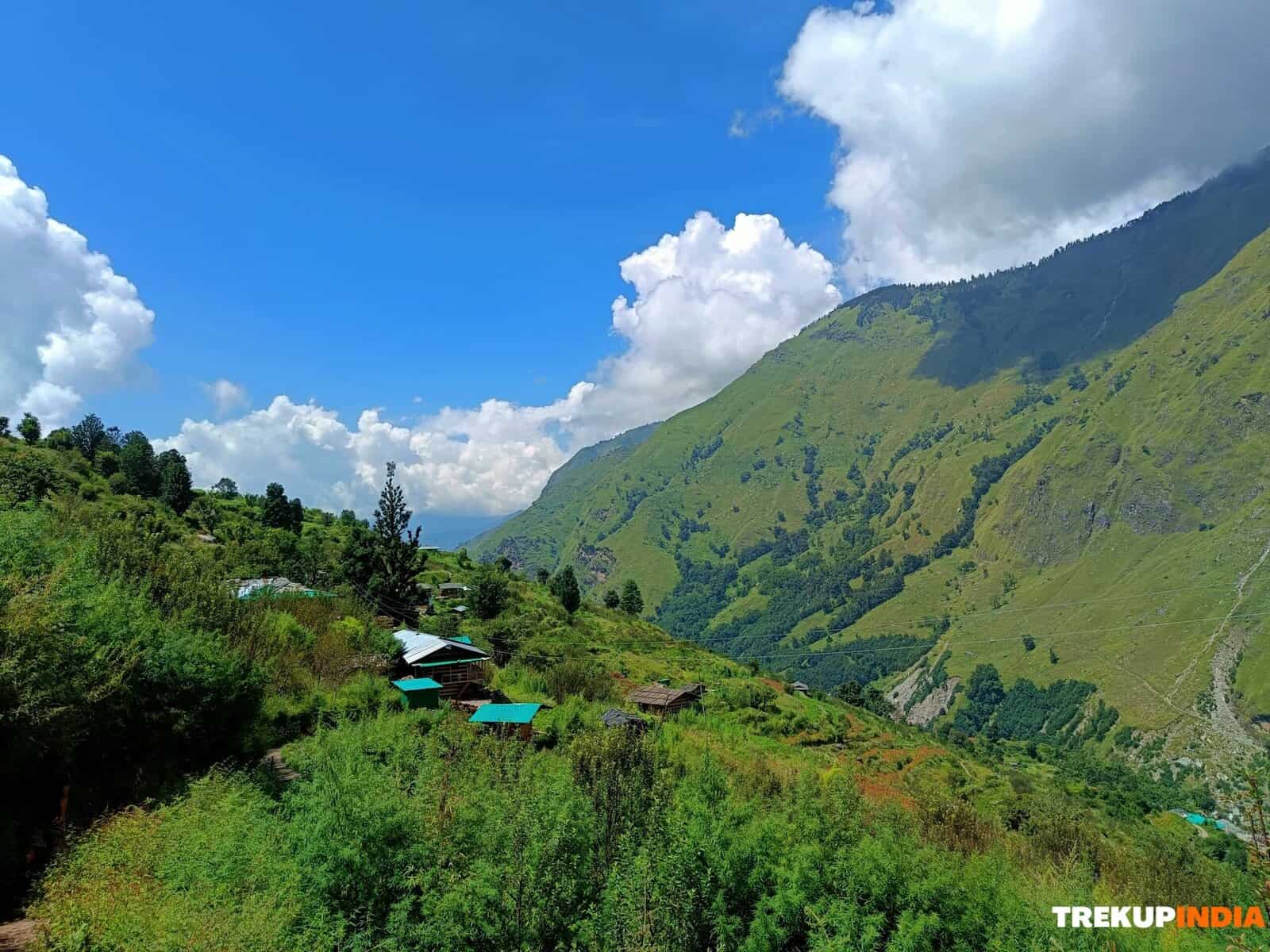
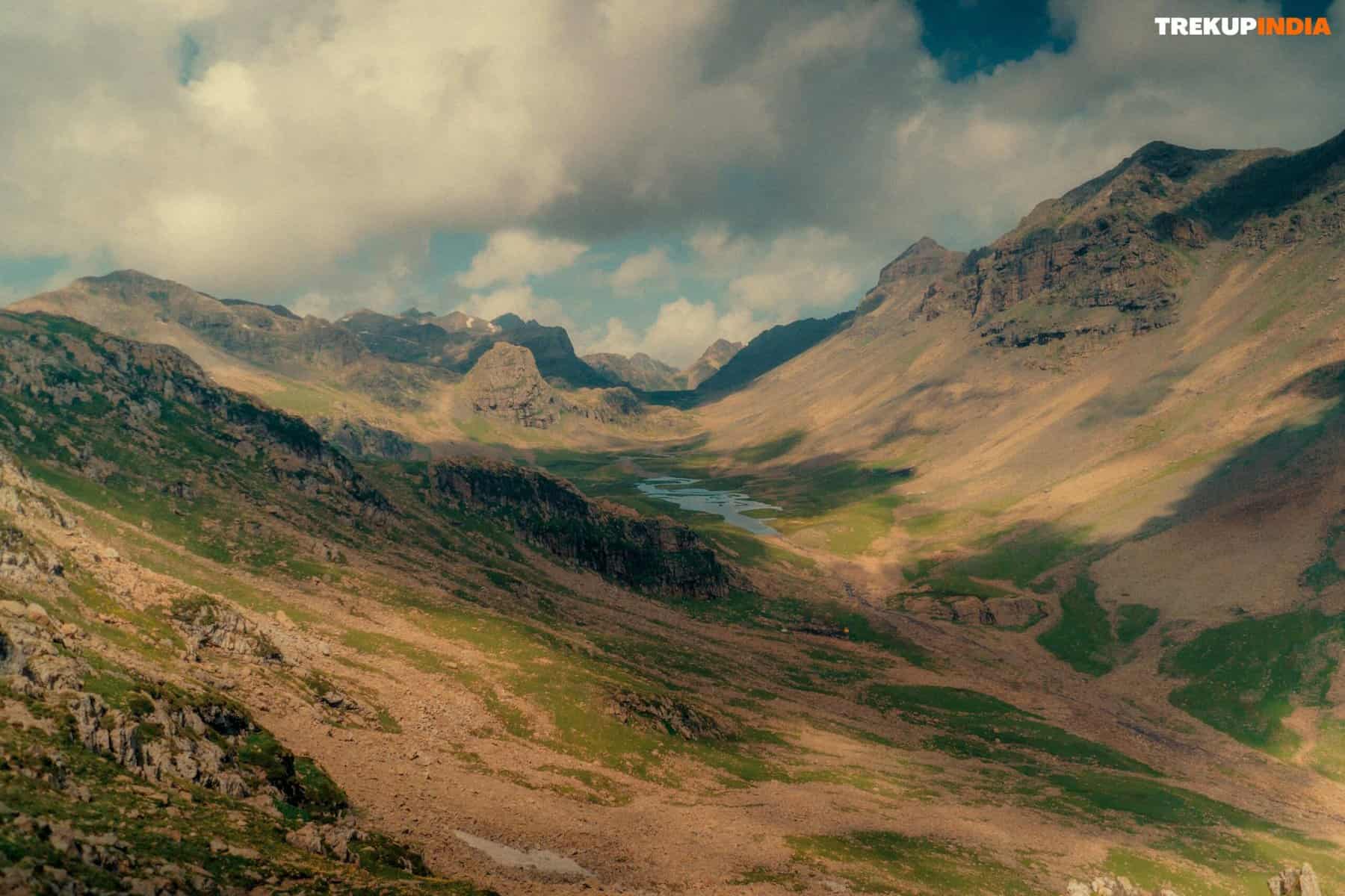
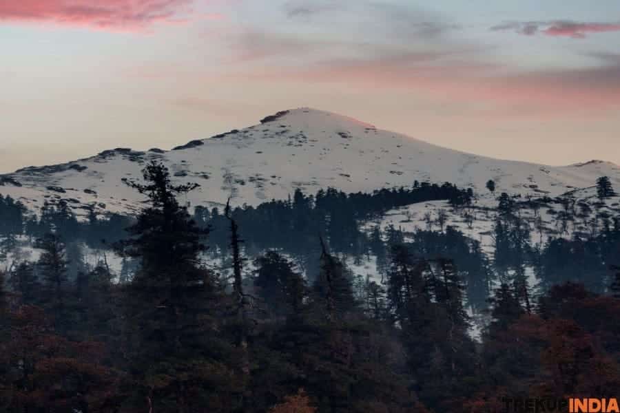
Take an impressive Gaumukh Tapovan Trek journey that traverses dense woods of pine and birch along well-defined pathways, through lush forests filled with vibrant greenery encased in mist to give an illusion that you are walking through a dream landscape. But gradually, the lush forests give way to barren landscapes characterized by rock outcrops and sandy riverbeds as you climb higher, eventually reaching Gaumukh, where rock formations transform into huge boulders before eventually levelling off as slopes steeper still until eventually opening onto stunning Tapovan and its breathtaking sights. Starting your journey can be both exciting and demanding! One of the hardest challenges will be reaching Gangotri in the Himalayas; this sacred city lies 240 km away from Dehradun airport via automobile – taking 10-12 hours depending on traffic conditions – but its scenic ride provides an ideal starting point for this unforgettable trek through stunning landscapes, history and legends – it makes an unforgettable journey experience.
Trolley Trip
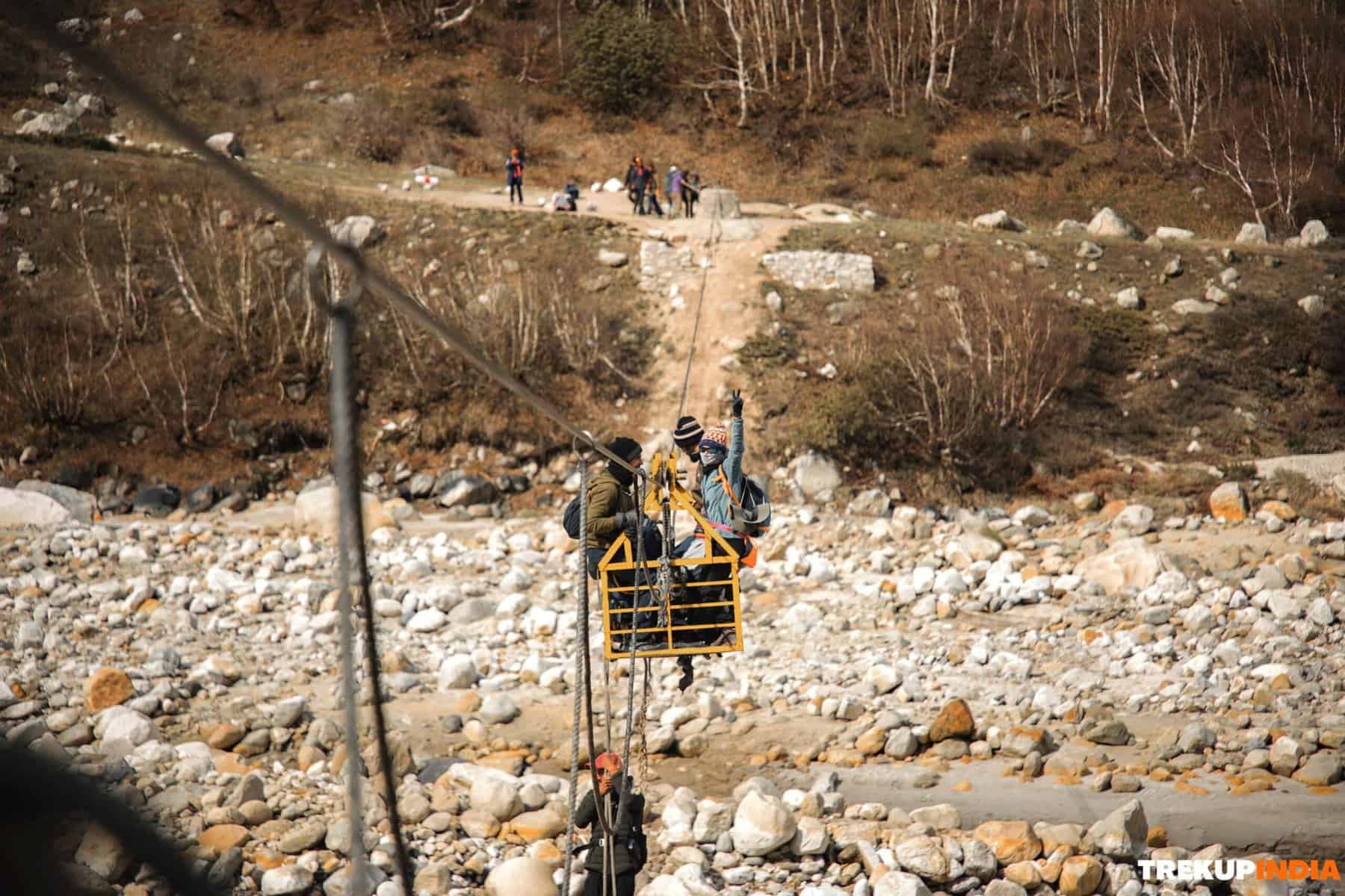
As previously planned, we would have crossed the Bhagirathi River via Gangotri Glacier; however, due to changes at Bhojwasa camping site this is no longer an option; rather we must navigate it on our own from Bhojwasa onwards; with one of its major challenges being this massive natural force as part of its crossing process. An ordinary cart suspended from a manual pulley system stretches along the road’s length, leaving travellers at the mercy of those on either side who can pull them over the distance. Absent assistance, passengers may become trapped in midair, exposed to elements and flooding below. Public transportation with these risky iron cages holds more than six people at any one time in cramped conditions, often for as much as two hours at a time. Each trip lasts only 10 minutes, as working it takes twelve people, and each trip lasts approximately 10 minutes, therefore, frequent trekkers must wait long periods up to two hours until their turn.
Long distances over difficult Terrain
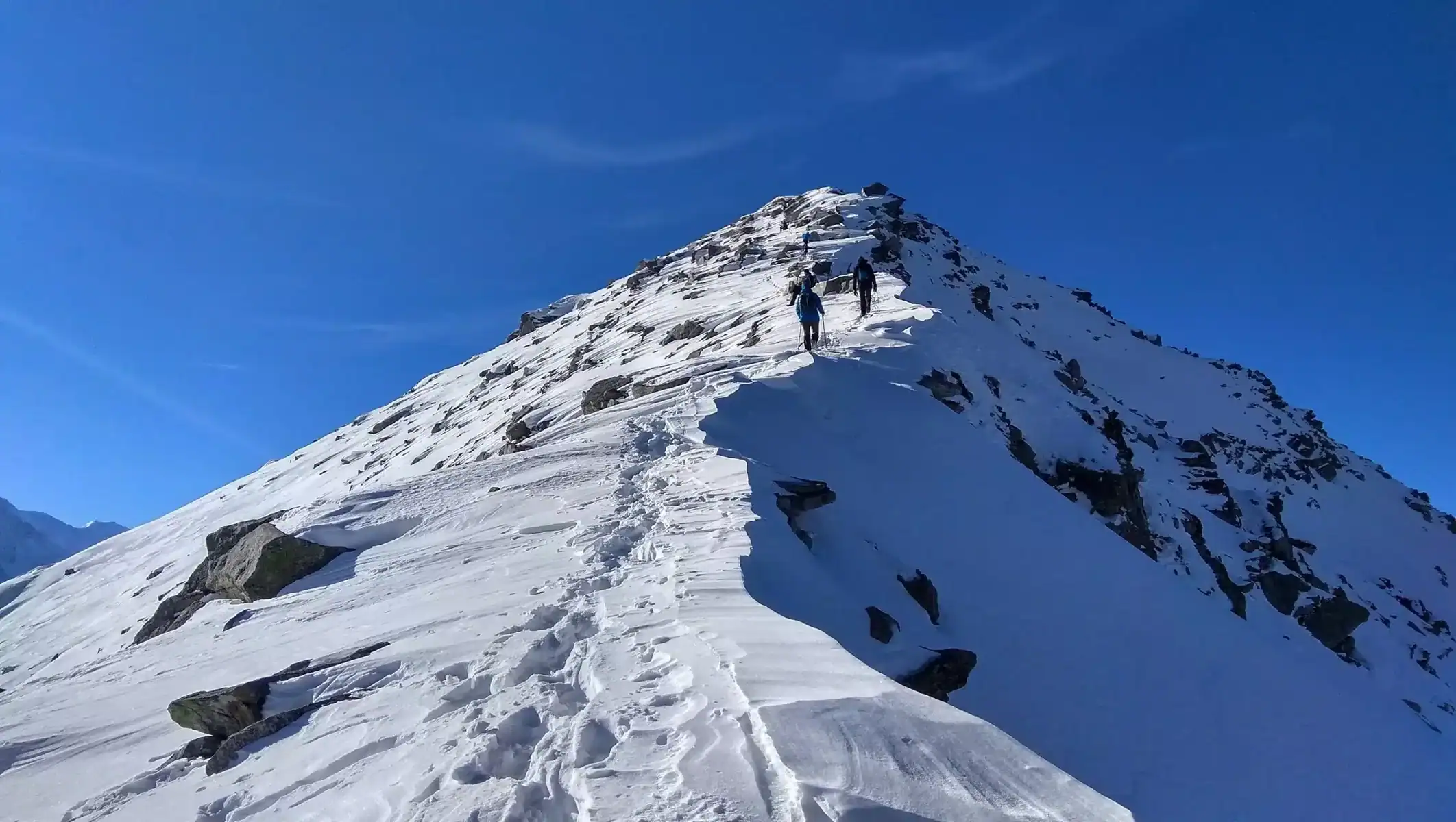
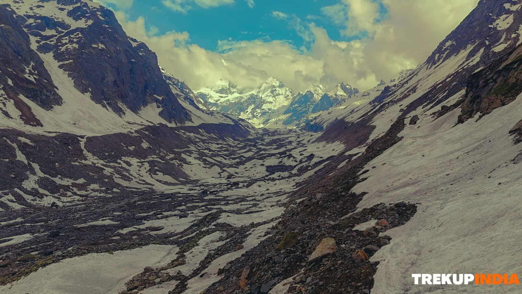
Days one and two cover 11 or 15 km respectively; remaining days cover approximately 5km each; however, the terrain can make these days treacherous for trekking. Day 4 presents one of the more challenging treks, when traveling from Bhojwasa to Tapovan through forest areas before descending through deserted landscape dotted with boulders and rocks. This uneven terrain requires constant attention over its 5-km course with a 500m ascent. As soon as you reach Gaumukh, the trek becomes increasingly strenuous as reaching Tapovan requires vertical climbing over massive rocks alongside a waterfall, necessitating jumping off rocks and making multiple crossings along its 300-meter ascent. Every day presents unique obstacles. Some may come from long distances or the terrain itself; other times they may stem from rockfall zones that shelter wildlife; terrain changes; steep slopes; or steep inclines, etc. It is essential to keep in mind that no mules are on this trail!
Carry Your Backpack: Porter or Carry It Yourself?
This choice, which I strongly encourage, may make trekking more difficult; however, its breathtaking landscapes will surely distract you from any frustration with distance or terrain issues along your route. Using Shivling and Bhagirathi Mountains as motivation throughout your trek should make every step worthwhile and your journey unforgettable!
Tackle the Dangerous 300M Climb at Tapovan
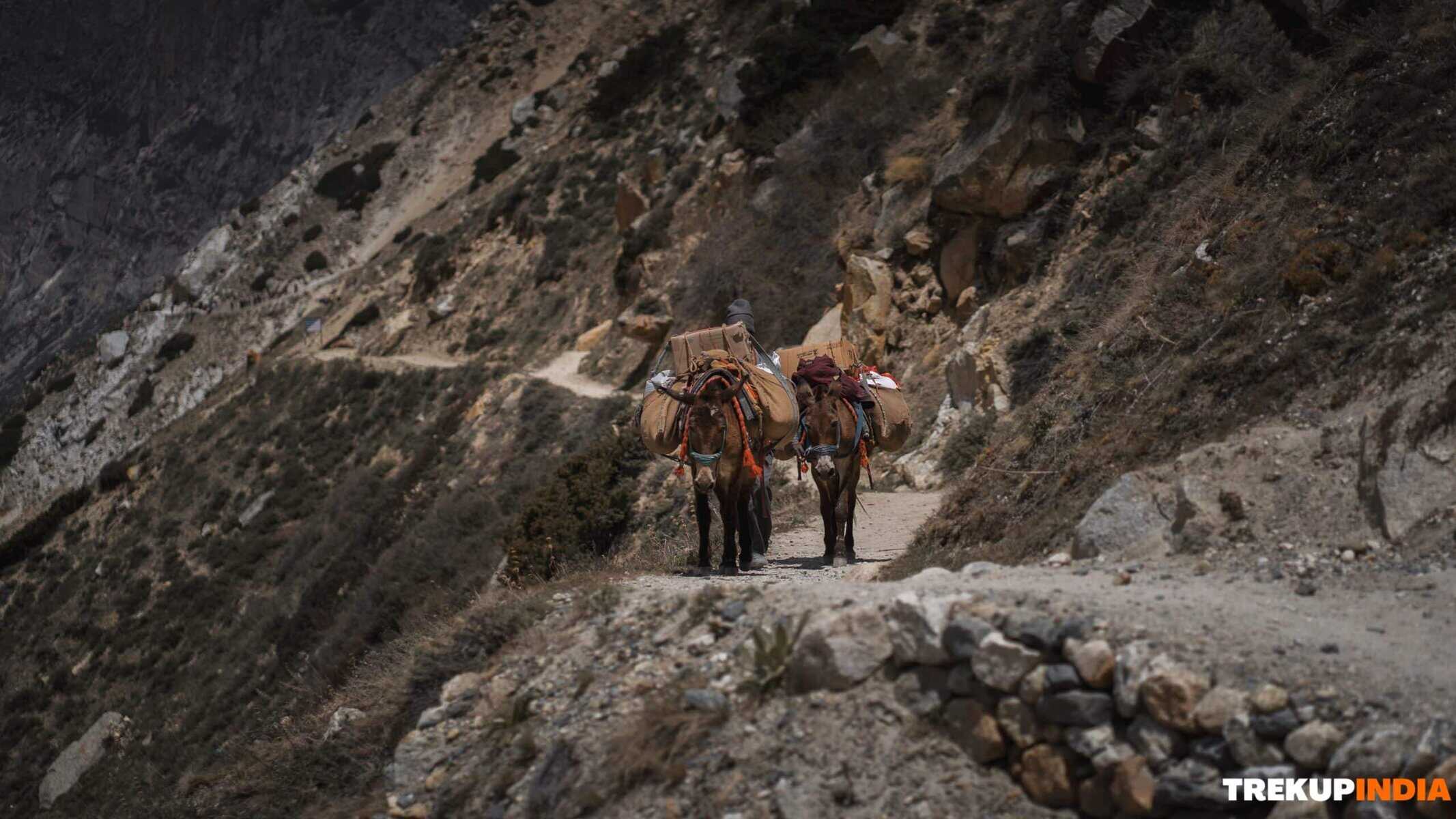
Tapovan is an insurmountable challenge that merits our full consideration, with its almost vertical gradient making each move a test of endurance. Add into that its uneven, crummy terrain dotted by boulders and wet stones making movement even more hazardous – as well as potential rainstorms which only add further dangers!
The Weather
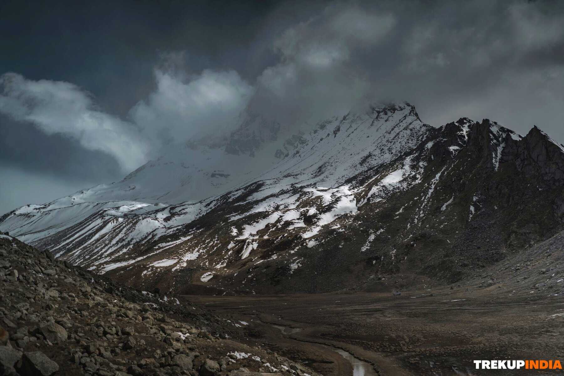
Our challenge here is no secret; anyone traveling through the Himalayas knows all too well how rapidly weather patterns can shift here, creating obstacles on our journeys and posing major problems on the trail. Unpredictable weather presents one of the greatest obstacles on any trail, due to parts being particularly susceptible to fluctuations. Particularly vulnerable in poor weather are areas prone to falling rocks and steep ascent towards Tapovan. Trekking beyond Bhojwasa involves mostly rock-covered terrain; rain or snowmelt makes navigating these trails all the more challenging. Bad weather can add extra strain when traveling such vast distances. When considering aesthetics, practicality, and comfort for an individual on this particular trek, favourable weather conditions for weather is truly an enticing gift.
About Author
Anoop Rawat (Admin TrekUp India)
Anoop has worked for 5 years as a Trek Leader with TrekUpIndia, leading numerous treks across the diverse and challenging terrains of Uttarakhand and Himachal Pradesh. He holds a degree in Geology with a specialization in Geographic Information Systems (GIS) from UPES Dehradun. During his academic years, he actively applied his classroom knowledge in the field—most notably by contributing to a glacier research project on the Jundar Glacier in the Har Ki Dun Valley, Uttarakhand. Write Anoop at anoop@trekupindia.com
Share this article
Dates For Upcoming Treks
Want To Trek Like Pro?
Basically, watch these videos if you want to trek the same way professional trekkers do and make your skills better. These videos contain useful tips and techniques to further improve your trekking skills itself. These videos actually help both new and experienced trekkers improve their trekking skills. These videos definitely provide useful tips that make your trek better. We are seeing that these videos by Trekup India experts will only help you make your trekking skills better.



Know Everything About Acute Mountain Sickness
Acute Mountain Sickness occurs when people trek to high altitudes above 8,000 feet. This condition itself develops further due to reduced oxygen levels at such heights. Basically, as you go higher up, the air pressure and oxygen levels decrease, which causes the same problem. Acute Mountain Sickness surely causes headache, nausea, vomiting, and dizziness in affected persons. Moreover, peoples also experience difficulty in sleeping during this condition. To avoid mountain sickness, you should actually trek up slowly to higher altitudes. To learn further about this condition itself, watch the videos by Trekup India.
