Darcha Lamayuru Trek
Darcha Lamayuru Trek
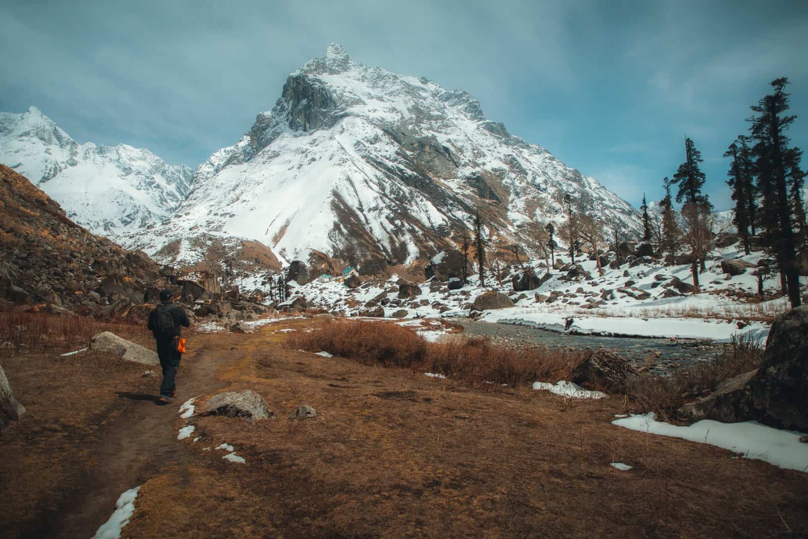
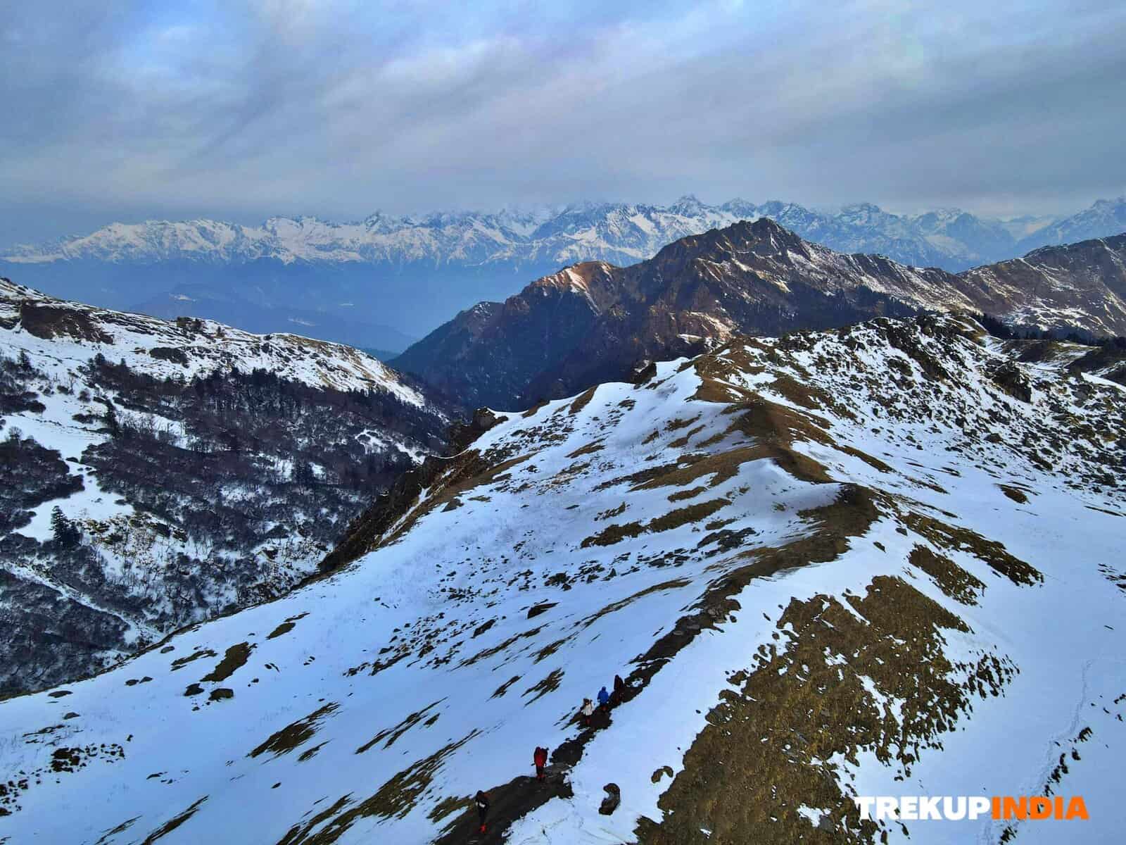
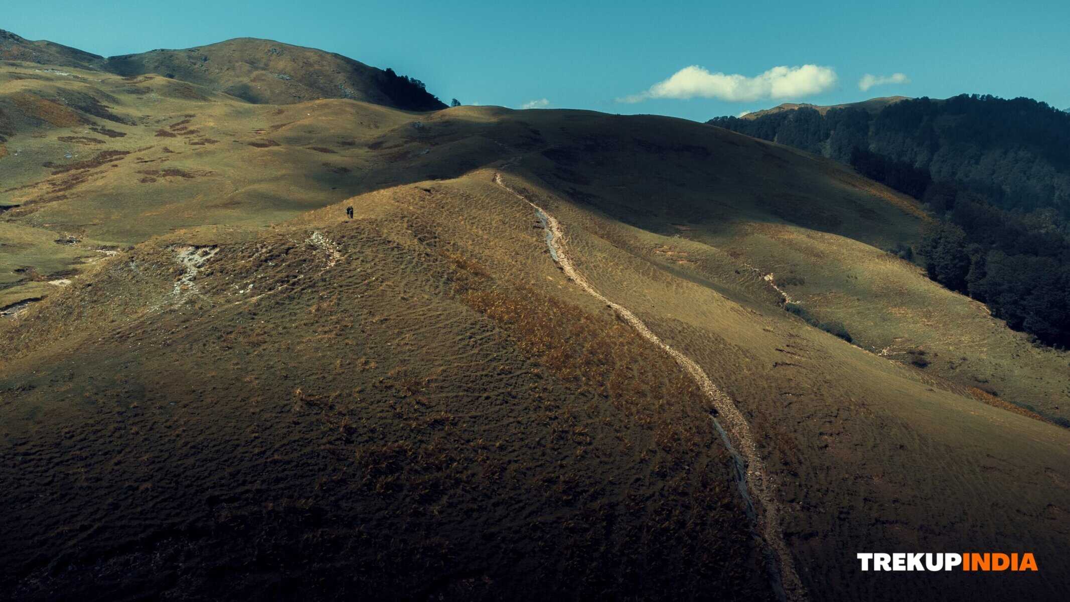
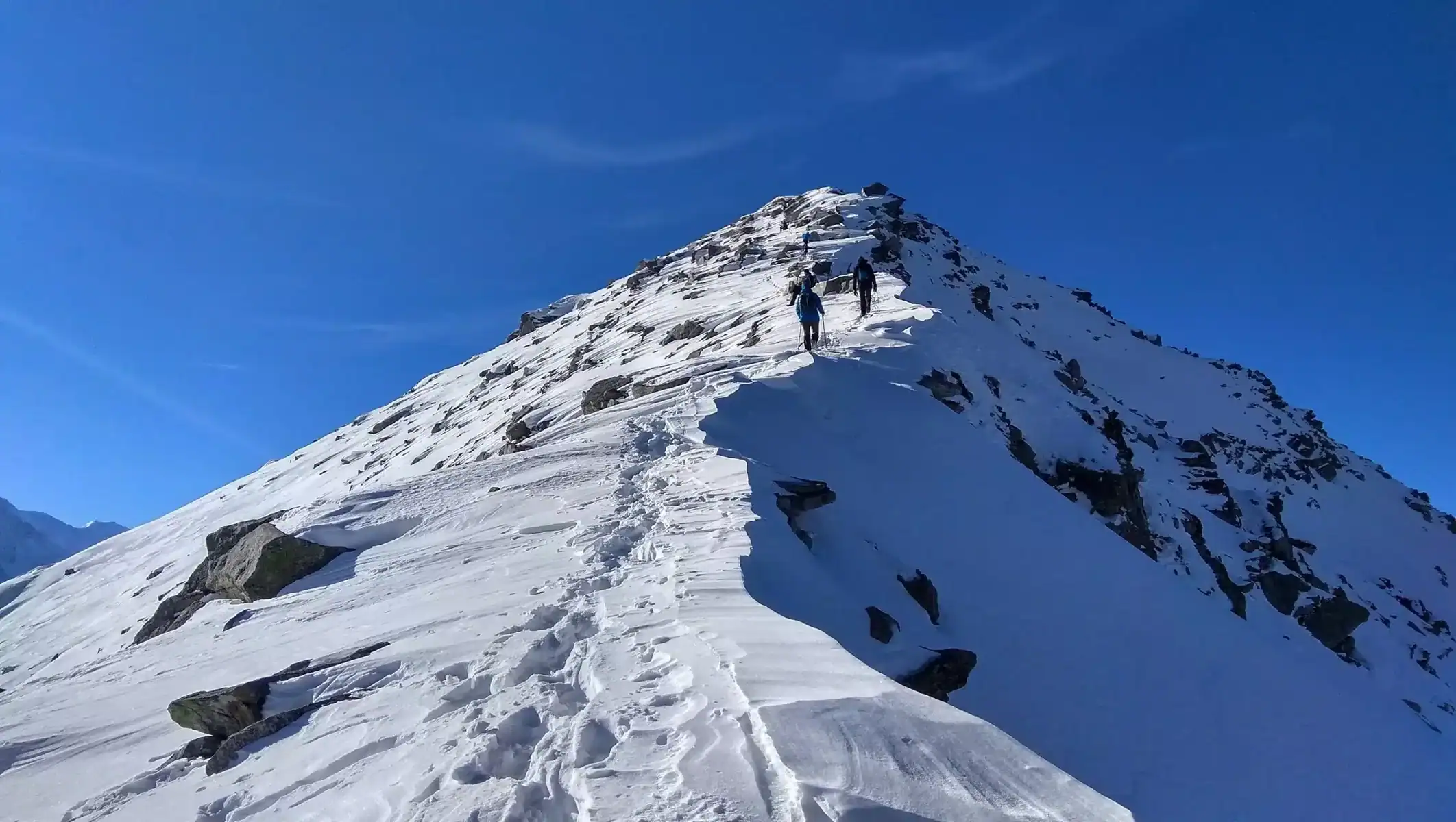
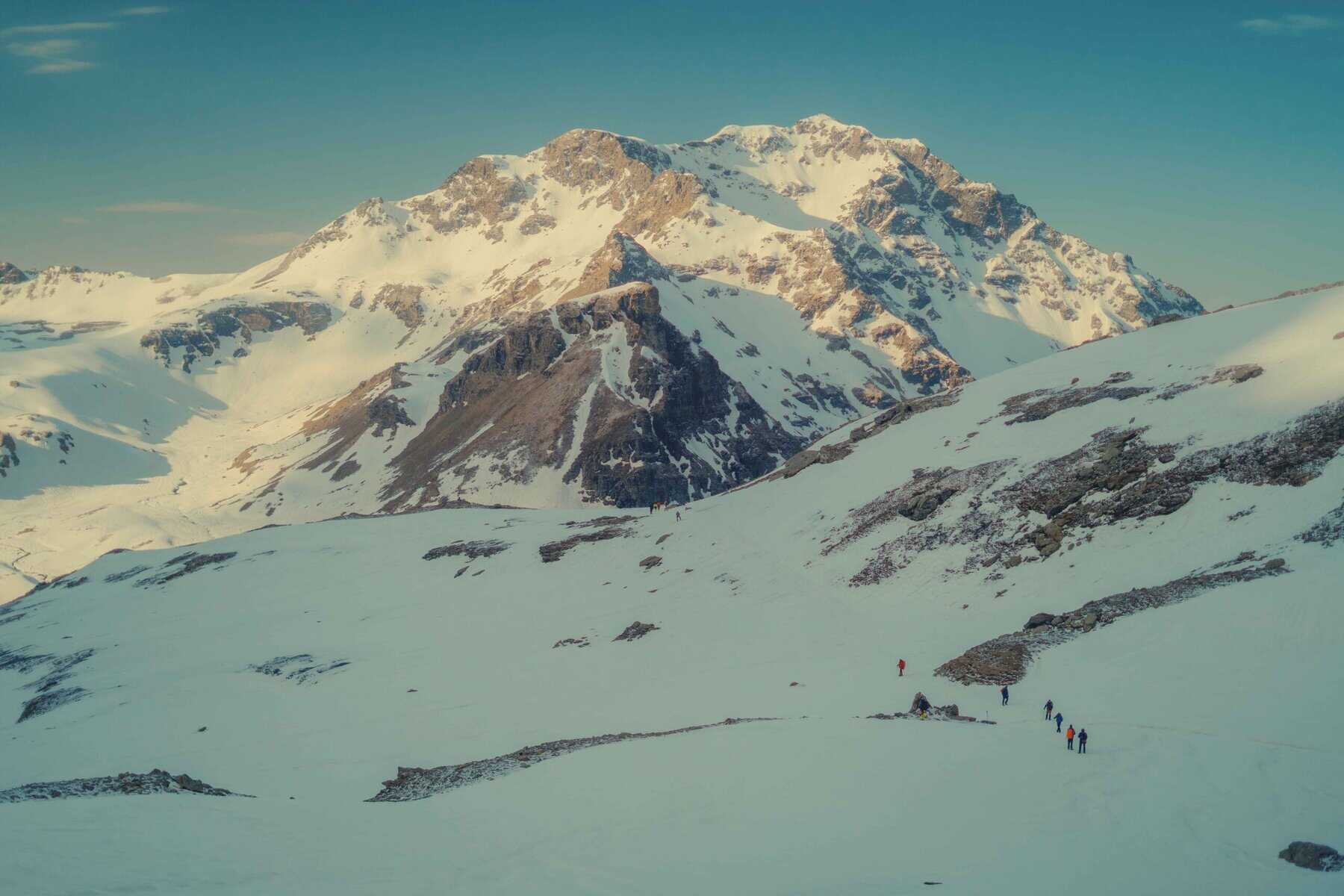
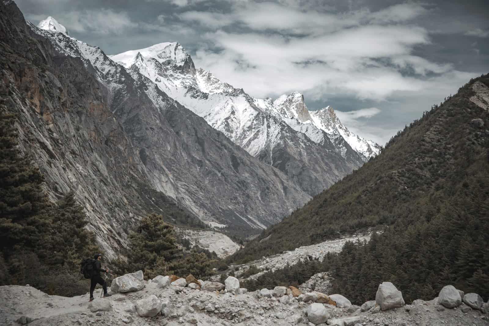
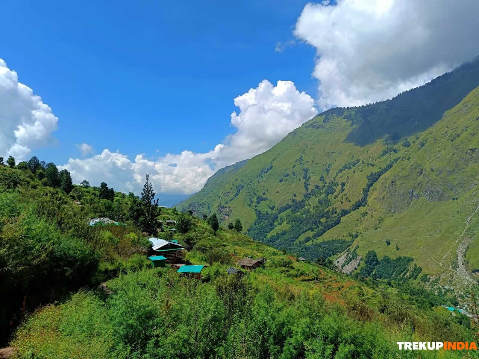
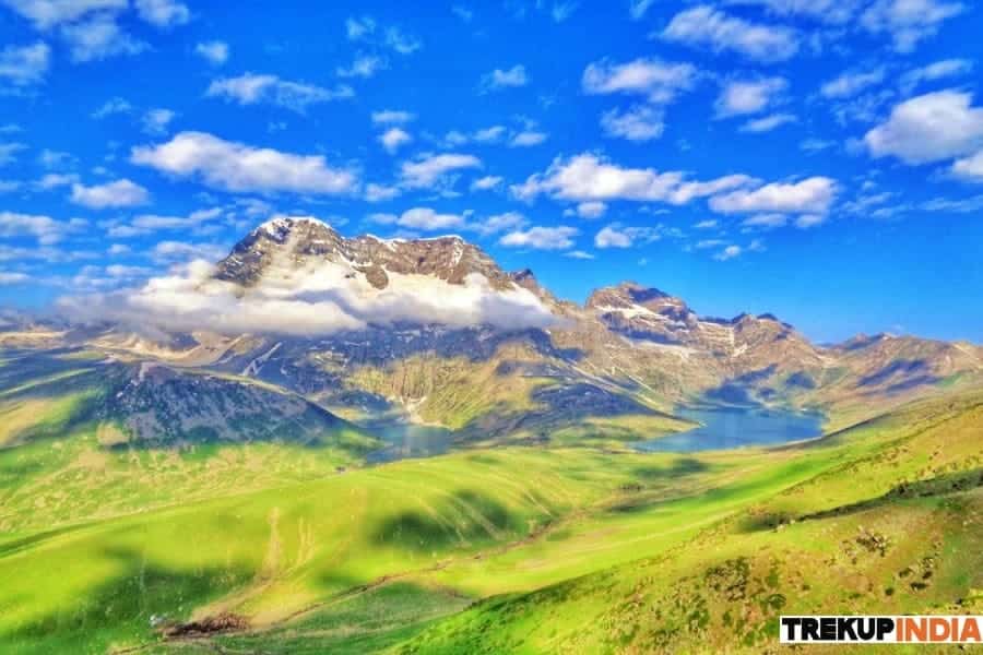
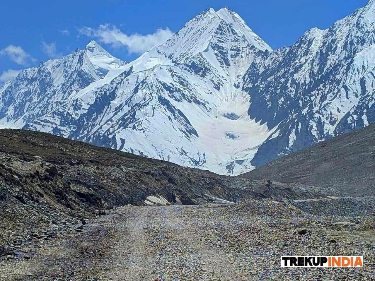
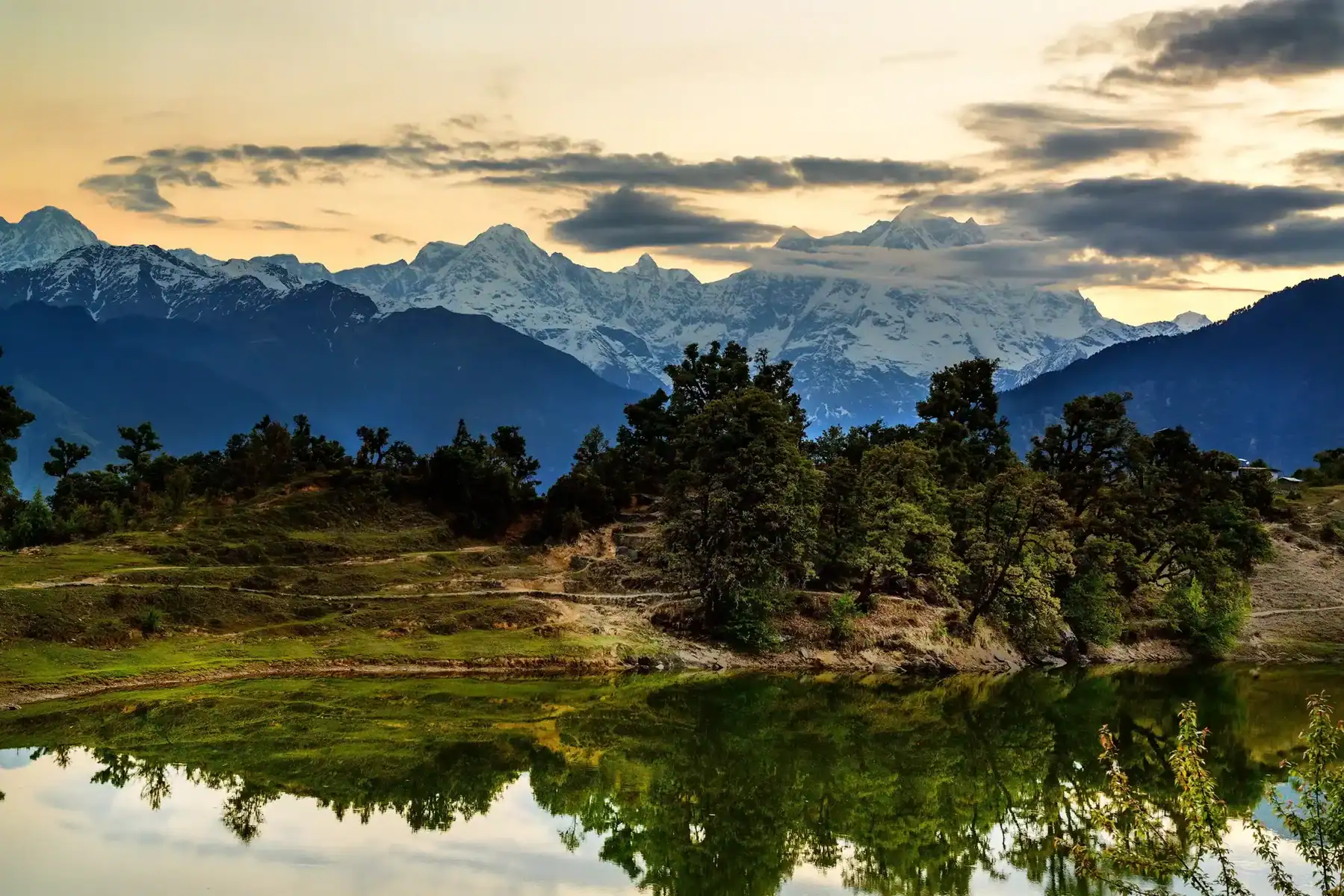
Remarkable for its formidable terrain and unmatched beauty through Himachal Pradesh to Ladakh, this trek is both an extraordinary test of endurance and a deeply rewarding experience. Traveling lofty mountain passes, plummeting down treacherous slopes to lush river valleys, ascending ever higher summits, and thrilling thrill-seekers find this trek irresistibly alluring as it captures the very essence of the Himalayan range – yet experiencing peace and spiritual rejuvenation at every step makes for an unforgettable journey. The trek from Lamayuru to Darcha is a 19-day adventure with a difficulty level of 5. Covering a distance of 291 km, the journey includes reaching a maximum elevation of 5062m and a total elevation gain/loss of +8535m/-8555m. This challenging trek across Zanskar offers the opportunity to explore stunning landscapes, ancient monasteries, and remote villages. Staying in homestays allows for an immersive cultural experience, where you can engage in activities like cooking with the locals and assisting with farming tasks such as planting and harvesting.
Trek Itinerary of Darcha Lamayuru Trek
Day 1: Lamayuru – Prinkti La – Wanla
Duration: Three to Four Hours and 9.1 Kilometres in Distance with an elevation gain and loss of 369 Meters. See Lamayuru Monastery located above Shilla Village and traverse Prinkti La Pass before passing through Shilla village and arriving in Wanla where homestay arrangements can be arranged.
Day 2: Wanla – Hanupatta
This trek covers approximately five kilometres with an elevation gain of 569m. The scenic route follows the river while passing through picturesque barley fields dotted with whitewashed farmhouses, and past picturesque whitewashed farmhouses before ending at Phenay Experience and passing through a narrow gorge.
Day 3: Hanupatta – Sir Sir La – Photoksar
This trek covers approximately 1117m of elevation gain and 690m loss over its six-day span. Beginning by crossing a river, trekkers then climb Sir La for stunning views of the Zanskar range before descending through Sir La to Photoksar Village, where homestay accommodations can be found.
Day 4: Photoksar – Singge La Base Camp
Duration: 4-5 hours, Distance: 11.5 km, and Ascent/Descent: 332m up and 182m down. From Bumiktse La pass, descend into Photang Valley where local villagers pasture their yaks and horses before arriving at base camp.
Day 5: Singge La Base Camp – Singge La – Lingshed
This trek lasts 8-9 hours and covers 20.5 km. Along its path is an elevation change of 1073m between gains and losses of 1483m, offering beautiful panoramic views at every step. Key highlights of the journey include crossing Singge La Pass for breathtaking vistas before continuing across Kyukpa La and Margum La passes en route to Lingshed village where they will find beautiful monasteries home to over 60 monks, as well as staying with local families through homestay arrangements.
Day 6: Lingshed – Hanuma La – Snertse
Duration: 7-8 hours, covering 17.8 kilometres with an elevation gain and loss of 1119 meters over this journey of 17.8 kilometres. Starting in Lingshed village and moving along a path leading up to Hanuma La base, ascend gradually until reaching Hanuma La to take in breathtaking panoramic views of the Zanskar mountains and Lingshed village before descending along a stream leading back down towards Snertse.
Day 7: Snertse – Purfi La – Hanamur
This trek will take approximately 4 to 5 hours and cover 12.4 kilometres with an elevation gain and loss of 938 meters, crossing Purfi La pass before following the Zanskar river to Hanamur village – keep an eye out for Himalayan brown bears and blue sheep that may occasionally appear!
Day 8: Hanamur – Pishu
This trek takes approximately four to five hours to complete and covers 15.4 kilometres. The trek boasts an easy elevation change with gains and losses totalling 150 meters; following the serene Zanskar river through charming Pidmo village with only a handful of families, before moving onto Pishu, where travellers may stay at an authentic homestay.
Day 9: Pishu – Karsha
Duration: The trek lasts between five and six hours and covers 16.9 km with a gentle ascent of 251 meters. Along the way, you will come to Karsha village, where there is an impressive monastery atop a hill overlooking it all, offering stunning views across its inhabitants and its surroundings. There is accommodation available here too, so that you can experience local culture first-hand!
Day 10: Karsha – Padum
This trek takes approximately three hours, covering 11.2 kilometres with an elevation change of 77 meters gained and 174 meters lost over its distance. When arriving, Padum – which can also be reached by car from Karsha – offers accommodation through homestay programs or can even host you for the night!
Day 11: Padum – Raru
This 22.6km trek typically takes 7-8 hours to complete and offers a mild elevation change of 389m uphill and 164m downhill. The trek leads straight towards Raru with scenic stops at Bardan monastery located on top of a hilltop. Alternately, Padum can be driven directly to Raru or homestay options are also available.
Day 12: Raru – Changpa Tsetan
Duration: 5-6 hours. This 16 km route follows Tsarap River through rough terrain with an ascent and descent of 379 and 355 meters respectively, before crossing several streams before arriving at Changpa Tsetan as its destination.
Day 13: Changpa Tsetan – Purne
Duration: 3 hours, Length: 9.7 kilometres, and Altitude Ascent/Descent = +225 meters / -207 meters. The journey follows the Tsarap River through Surle, Kalbok, and Zantang communities before reaching its meeting point with Kargyak rivers a short distance downstream and leading directly into Purne village.
Day 14: Purne – Phuktal – Purne
Duration: 4 hours, Distance Covered: 11.7 kilometres, and Elevation Change (climbed and descended 233 meters) 233. You should begin your walk from Purne towards Phuktal monastery, which can be found at the entrance to a large cave high on a mountainside. Engage with monks residing there while discovering more of this magnificent site at your own pace.
Day 15: Purne – Tabley
This trek typically lasts 5-6 hours and covers a distance of 16.9 kilometres with an elevation change of 485 meters uphill and 281 meters downhill. It follows the scenic Kargyak River while passing through picturesque villages such as Testha, Kuru, and Tanse before culminating at its destination of Tabley.
Day 16: Tabley – Lakung
Duration: approximately 7-8 hours, Distance: 22.0 km, and Vertical Gain/Decline Change = ascend 455 meters with no descent; start from Kargyak village by following the broad valley as it opens out toward Lakung grazing grounds.
Day 17: Lakung – Shingo La – Ramjak
This section of the trek typically requires between six and seven hours to complete, covering 16.4 km in total and including a significant elevation change with gains and losses totalling 571 meters and 678 meters respectively, leading to Shingo La’s base where you’ll cross its highest point before continuing downward to Chumik Nagpo and then Ramjak village.
Day 18: Ramjak – Pallamo
This route covers approximately 15.3 kilometres and takes roughly four to five hours to complete, featuring a gentle down sloping terrain with an elevation change of -778 meters, ultimately ending up at Pallamo.
Day 19: Pallamo – Darcha
This 11.7km trek to Darcha usually takes 3-4 hours, with an elevation change of only 57m ascending and 342m descending. It offers an enjoyable walk with plenty of stops along the way at Rarik and Chika gompa for refreshment breaks.
Trek Highlights of Darcha Lamayuru Trek
- Cross eight+ high mountain passes, such as Shingo La (5,100 m) and Sengge La (5,060 m).
- Visit remote villages like Kargyak, Lingshed, and Photoksar, where life remains relatively untouched by modernization.
- Discover iconic monasteries such as Phuktal Gompa, Karsha Lingshed, and Lamayuru.
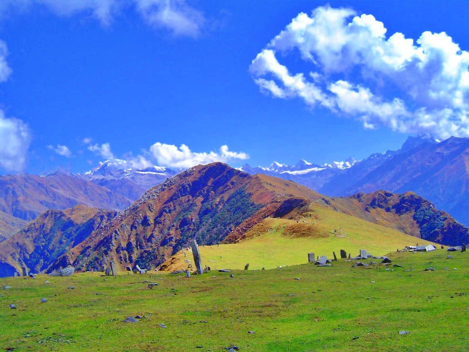
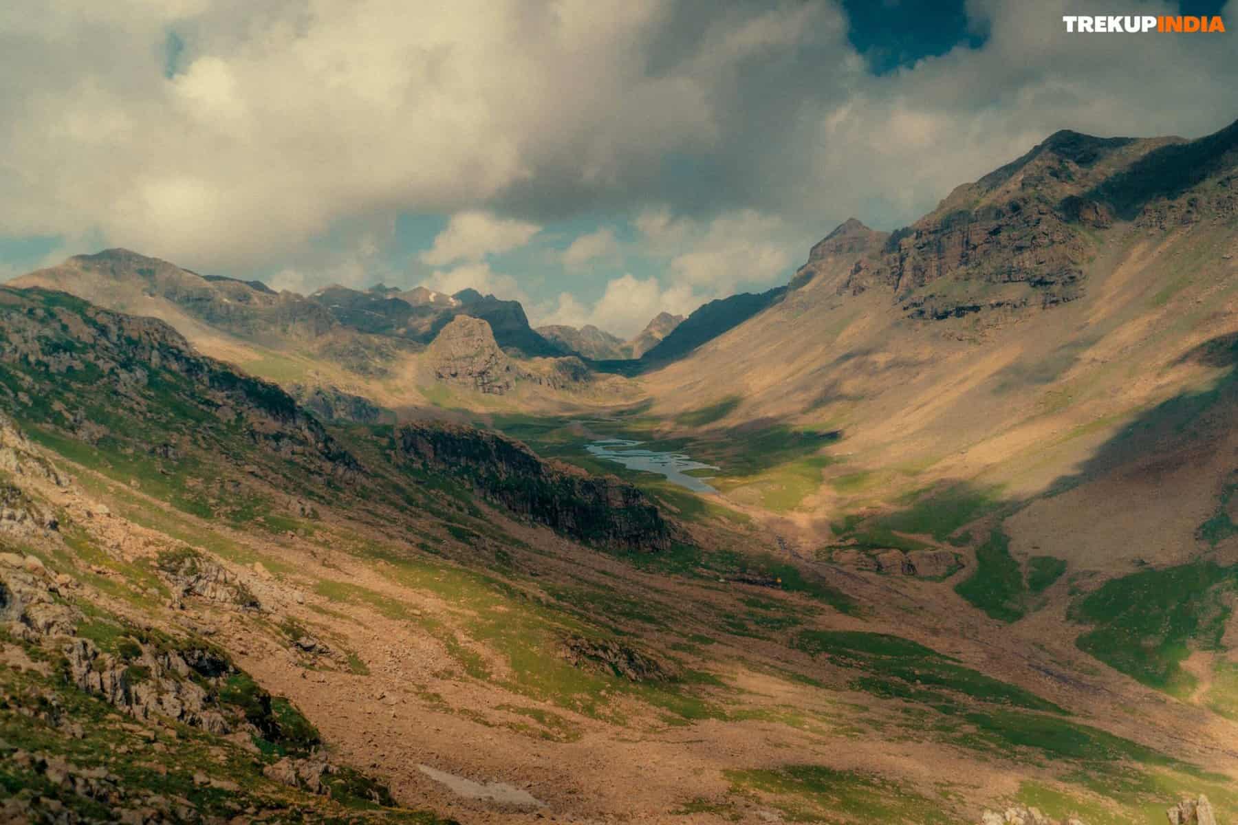
- Discover the magic of Zanskar Valley–its green pastures, deep canyons, icy rivers, and endless sky.
- Campgrounds near rivers, meadows, and mountains make an excellent place for you to set up camp.
- Travel through a range of natural landscapes, from the pine-clad valleys of Himachal to high deserts in Ladakh.
How To Reach Darcha Lamayuru Trek
Starting Location: Darcha (Himachal Pradesh).
By Road: Darcha can be reached from Manali via the Atal Tunnel (5-6 hours of travel time).
By Air: Nearest airports: Bhuntar (Kullu) or Chandigarh – take a drive towards Manali and Darcha before returning home via Darcha. Destination Point: Lamayuru (Ladakh). Start from Lamayuru by driving approximately 120km (3-4 hours).
Best Time to Visit Darcha Lamayuru Trek
Mid-July to Mid-September offered ideal weather, passable roads and safe river crossings. Villages come to life during festivals and farming activities.
Dates For Upcoming Treks
Want To Trek Like Pro?
Basically, watch these videos if you want to trek the same way professional trekkers do and make your skills better. These videos contain useful tips and techniques to further improve your trekking skills itself. These videos actually help both new and experienced trekkers improve their trekking skills. These videos definitely provide useful tips that make your trek better. We are seeing that these videos by Trekup India experts will only help you make your trekking skills better.


Know Everything About Acute Mountain Sickness
Acute Mountain Sickness occurs when people trek to high altitudes above 8,000 feet. This condition itself develops further due to reduced oxygen levels at such heights. Basically, as you go higher up, the air pressure and oxygen levels decrease, which causes the same problem. Acute Mountain Sickness surely causes headache, nausea, vomiting, and dizziness in affected persons. Moreover, peoples also experience difficulty in sleeping during this condition. To avoid mountain sickness, you should actually trek up slowly to higher altitudes. To learn further about this condition itself, watch the videos by Trekup India.


