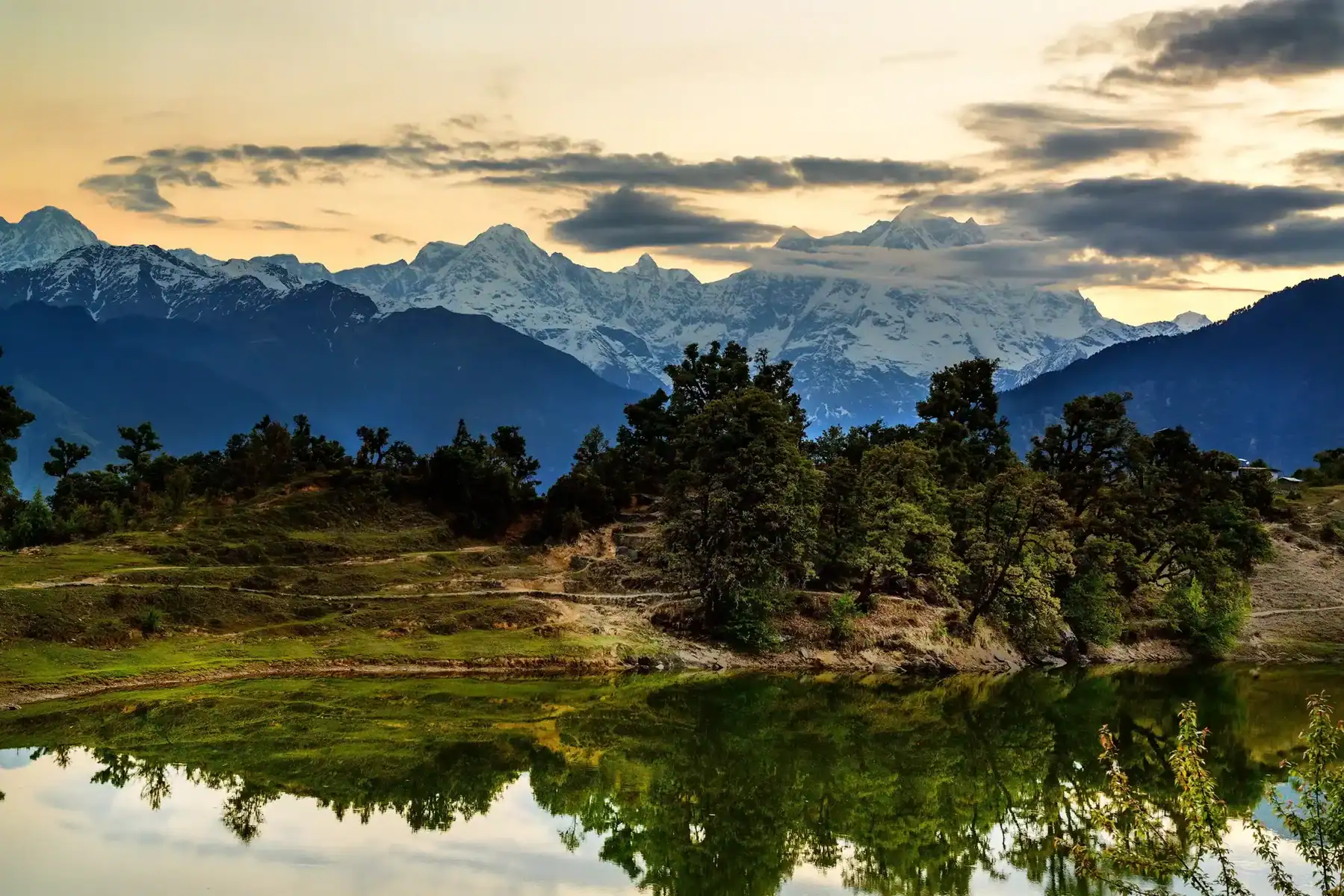
Darati Pass Trek
Darati Pass Trek - Gateway to Himalayan Adventures
Darati Pass Trek can be easily reached from Chamba and serves as the starting point for numerous challenging treks through Indian Himalayan ranges that reach heights that exceed 5200 m. However, its accessibility by roads can prove a formidable challenge in itself. No matter which route you take to reach Chamba – Dalhousie-Kangra or Sach Pass– it shouldn’t be difficult. Appreciating the efforts and dedication of bus conductors and drivers who work tirelessly to manage routes across multiple 15-hour trips without time for rest is of utmost importance. If you ever travel by one of these sluggish buses to Chamba, consider showing your appreciation by thanking your bus driver; they will surely appreciate it.
Chamba, at 5200 m, offers incredible trekking opportunities in India’s Himalayan Mountains. However, getting to Chamba via roads may prove more challenging, whether through the Dalhousie or Kangra sides or the Sach Pass Route.
An obligation of gratitude should be extended to both the courageous bus drivers who travel these routes and their dedicated conductors, who must endure the 15-hour commute day after day in silence and discomfort. If you ever visit Chi, express your thanks by thanking a conductor. Even simple acknowledgement of their hard work will likely bring smiles of delight from them!
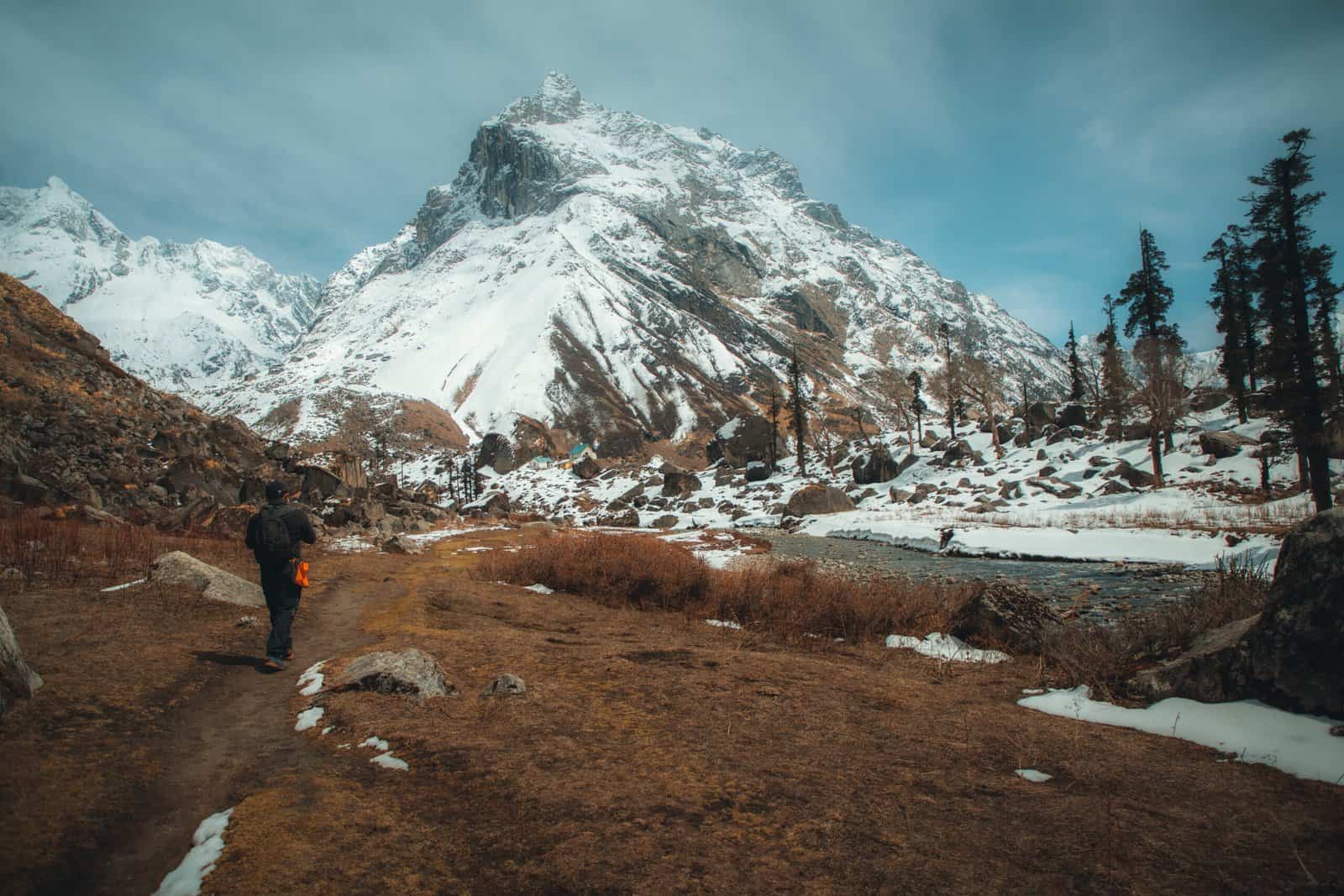
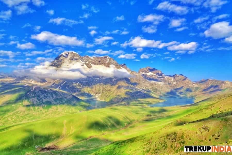
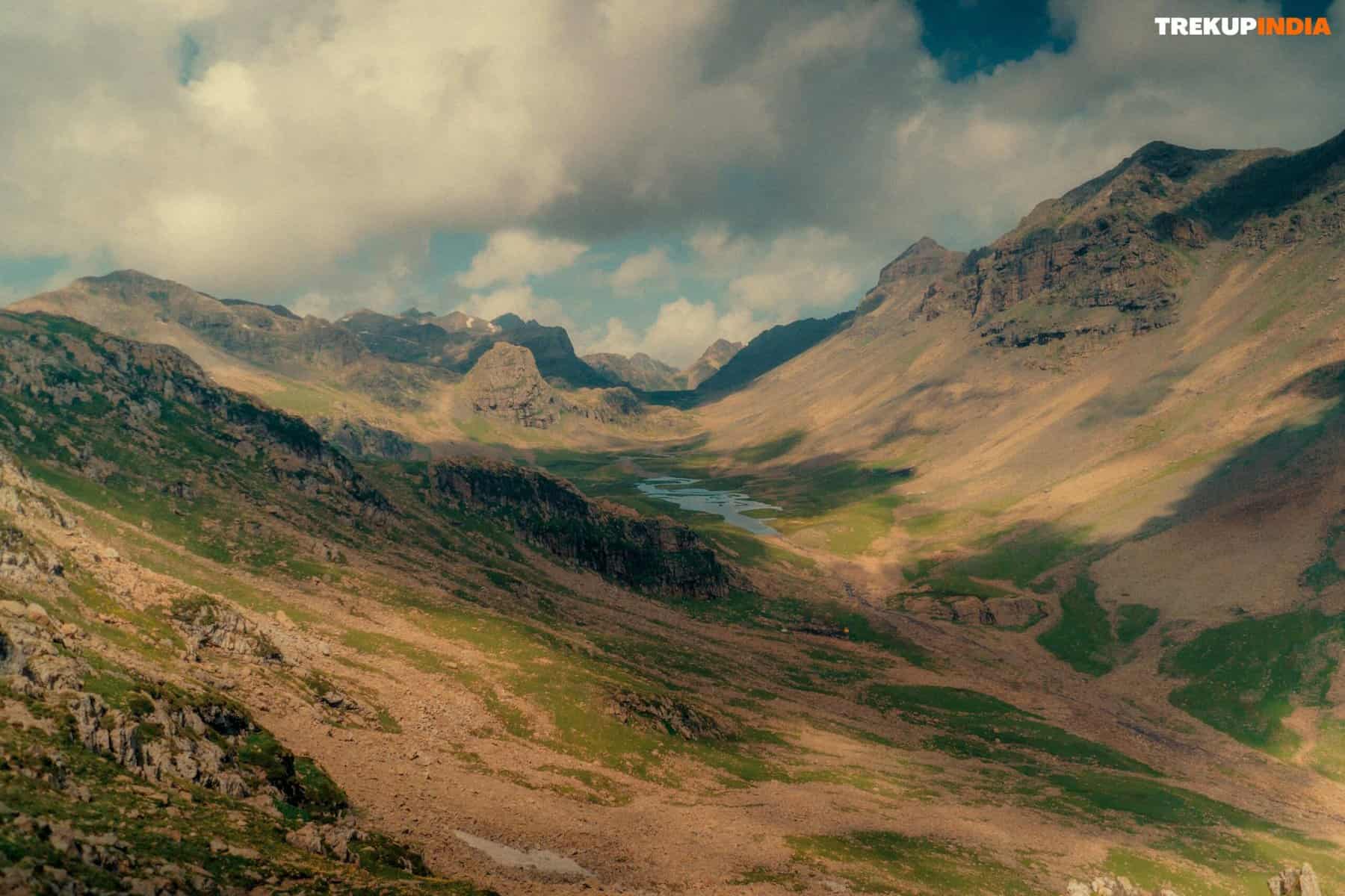
Darati Pass stands at 15420 feet (4700 meters), connecting Churah Valley in Chamba and Tindi Valley in Lahaul and Spiti Districts. Tindi, situated to the left of Chandra Bhaga River, is considered one of the most remote villages in the Lahaul district. Darati Pass is utilized by both Gaddis and people from the general population during festive seasons—particularly Churahis, who travel through it for religious celebrations at Triloknnath Temple Udaipur, while Lahaulis use it for visiting Manimahesh Kailash.
Best Time for Darati Pass Trek
The best time to do Darati Pass Trek is between Darati Pass Trek is typically between late spring and the beginning of autumn. Many trekkers have found that the perfect time to trek occurs between June and September, a time when the weather tends to be more steady, and trails are less difficult to navigate.
Let’s take a glance at seasonal concerns:
- Late spring (May to early June): As the melting of the snow and the scenery come alive with vibrant flowers and a clearer trails. The time of moderate temperatures and an energizing start to the trekking season. Some high-altitude regions might still be covered in snow. A proper kit is vital.
- Summer (June until July): This is the highest trekking season, with long, hot days and generally warm temperatures. The lower areas are blessed with mild temperatures, but you should be ready to get up early at high elevations, where temperatures could decrease dramatically. Remember that monsoons can trigger periodic rain showers, which can make some areas treacherous and difficult.
- Early autumn (September until early September to Early October): The skies post-monsoon tend to be clearer, and the views from mountains covered in snow are stunning. It’s still reasonably moderate, making it a popular time for hikers. This is a fantastic time for those who prefer less crowds and clear, crisp daytime temperatures.
Highlights of Darati Pass Trek
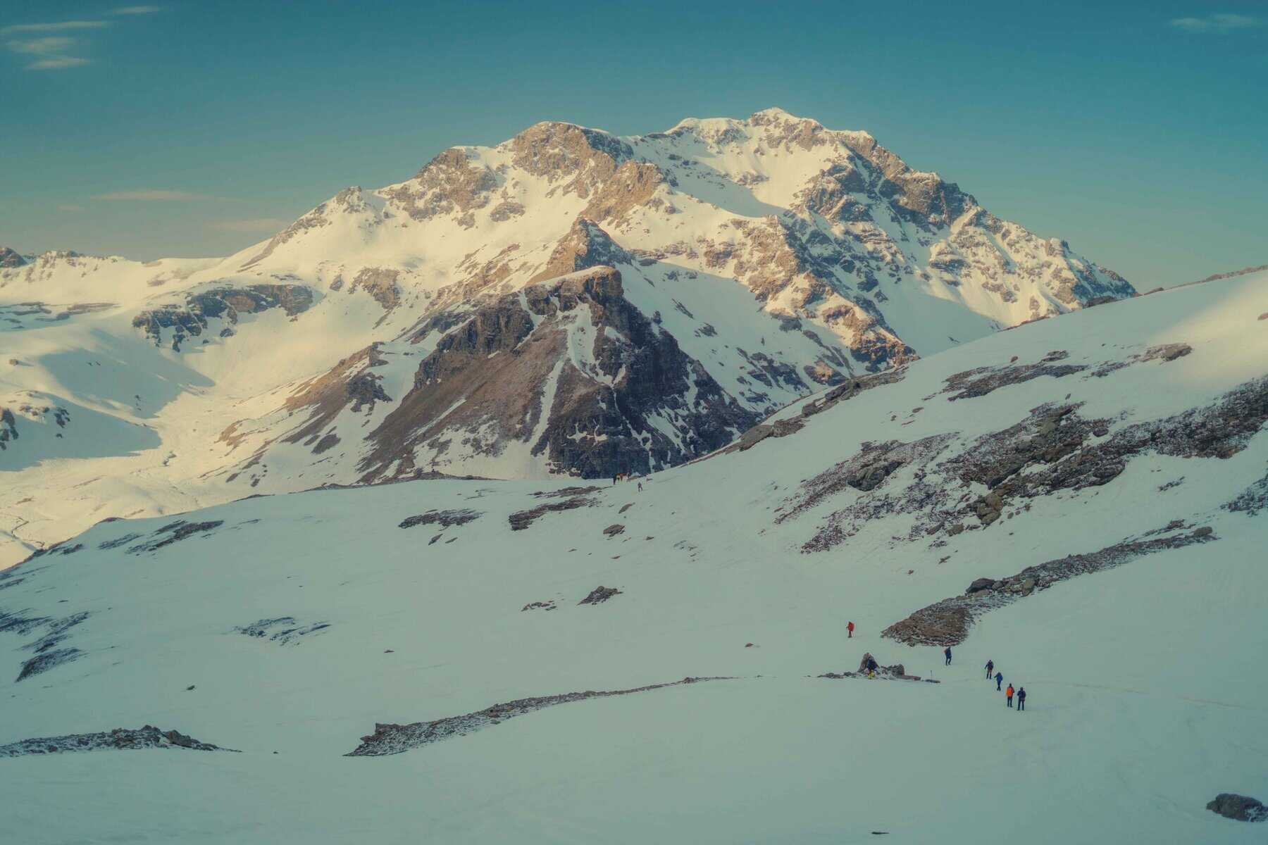
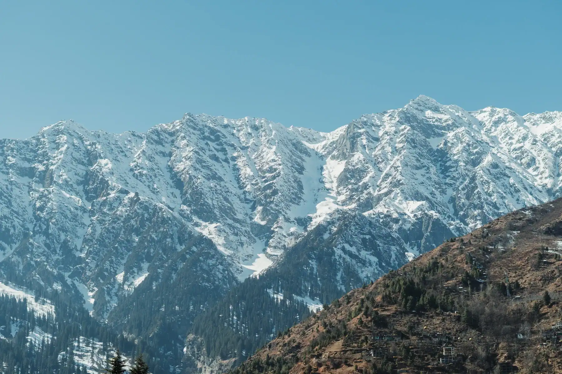
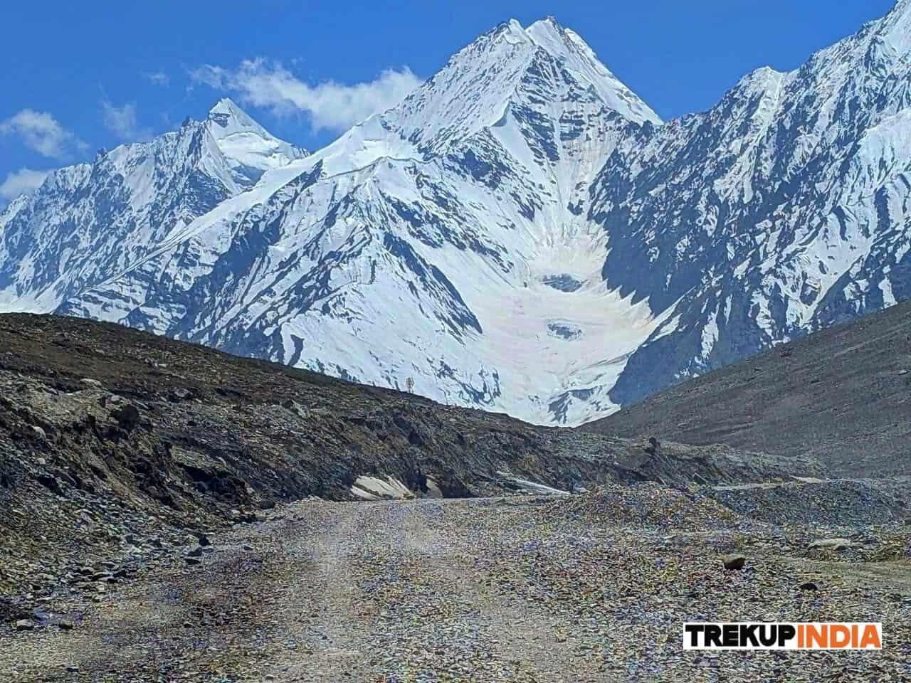
Pir Panjal Range is generally recognized as being among the highest in Asia. Within this range is Darati Pass, which stands at 15,420 feet (4 700 metres), connecting Churah Valley in Chamba with Tindi Valley of Lahaul and Spiti Districts via Chandra Bhaga River and Tindi Village on its banks – it marks a link that unites these districts together. Though used mainly by Gaddis of this area during festival seasons (Churahis cross it to participate in Triloknnath Temple festival; Lahaulis travel it to visit other important shrines), all kinds of travellers from Churah traverse this pass to access other regions – even people of different age are drawn here during festival seasons – in order to participate or visit nearby festivals held elsewhere within Lahaul district or visit one of these areas – both sets of districts together!
Darati Pass Trek Day wise trek Itinerary
Day 1: Pathankot towards Dalhousie (80 kilometres)
Take the Bus from Pathankot towards Dalhousie, an exquisite hill station in the Chamba region. When you arrive, enjoy some free mountain air and captivating mountaintop scenery that sets a fantastic scene for your journey.
Day 2: Dalhousie to Kalatop – Khajiyar Chamba Chamba (55 kilometres)
After having a delicious breakfast, you will depart from Dalhousie to head for Kalatop Wildlife Sanctuary. Enjoy the day exploring the lush forest and varied fauna. Afterwards, head towards Khajiyar in the early afternoon before arriving in Chamba. Check into the hotel you booked in Chamba and refresh your body before heading out for local sights like Chamba’s Bhri Singh Museum and Laxmi Narayan Mandir. This day’s activities conclude with a quick journey to the tiny village of Chanju in Chamba’s Churah block in Chamba, where you’ll be staying the night.
Day 3: Chamba towards Chanju Charda (75 kilometers)
Begin your day by departing Chamba and heading to Chanju Charda, a charming village in Chamba, which is located in the Churah block. The 75 km drive provides glimpses of the rural lifestyle as well as stunning landscapes. When you arrive, make your camp and then spend time wandering around the town, engaging with people from the area, and taking in the tranquil atmosphere before going to bed.
Day 4: Chanju Charda to Kalpra (7 kilometers)
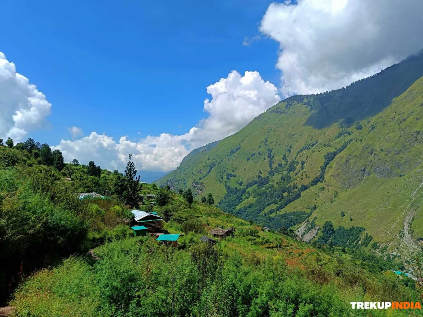
Rise early for an easy but challenging hike from Chanju Charda towards Kalpra. Even though the distance is 7km, the route is steep and rocky, with thrilling twists, which make for an exciting adventure. It’s a 5-hour trek when you traverse the rough terrain. When you’ve reached Kalpra, take a seat and take in the peaceful landscape of the mountains.
Day 5: Kalpra to Alyas Base Camp (6 kilometers)
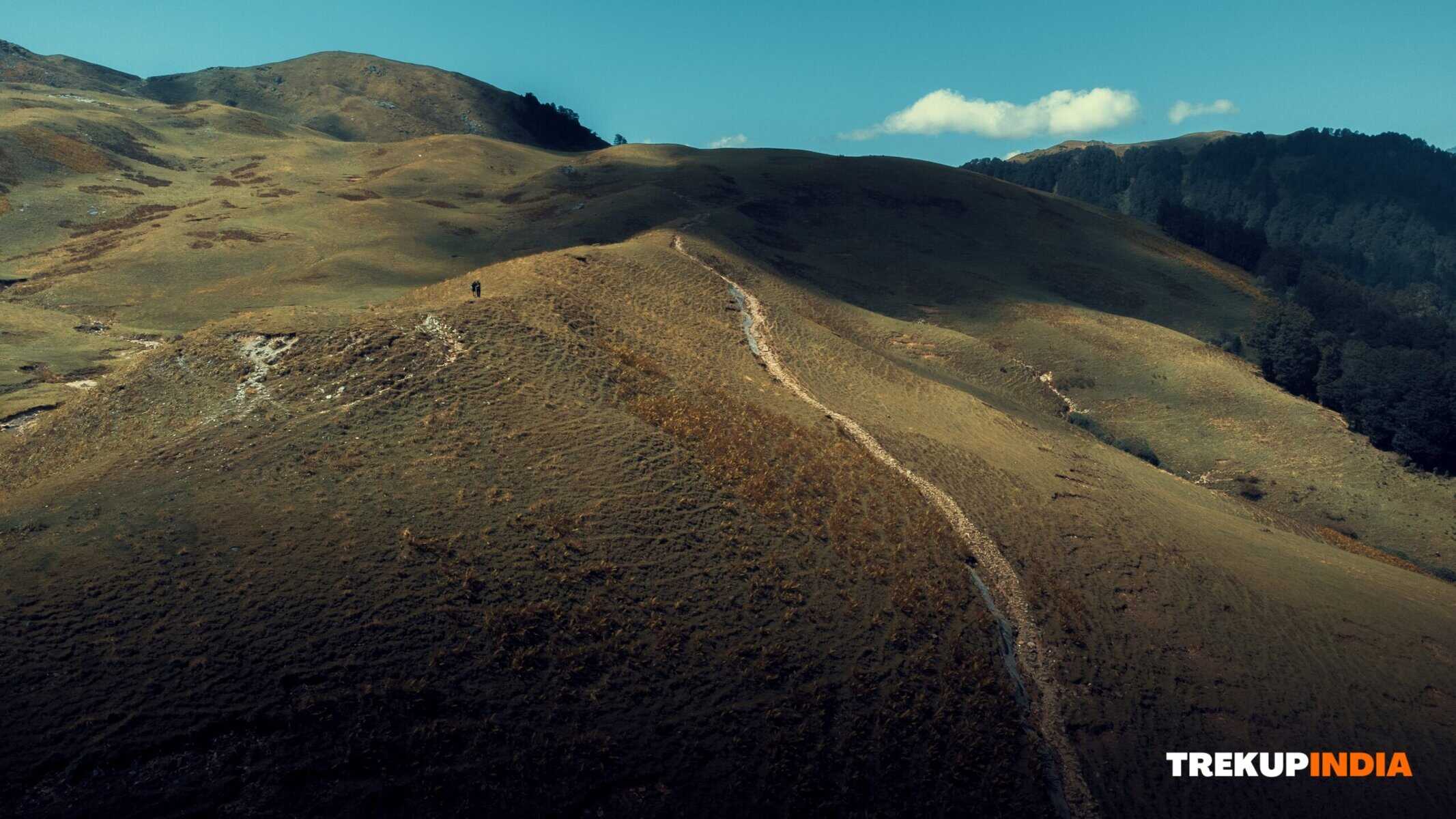
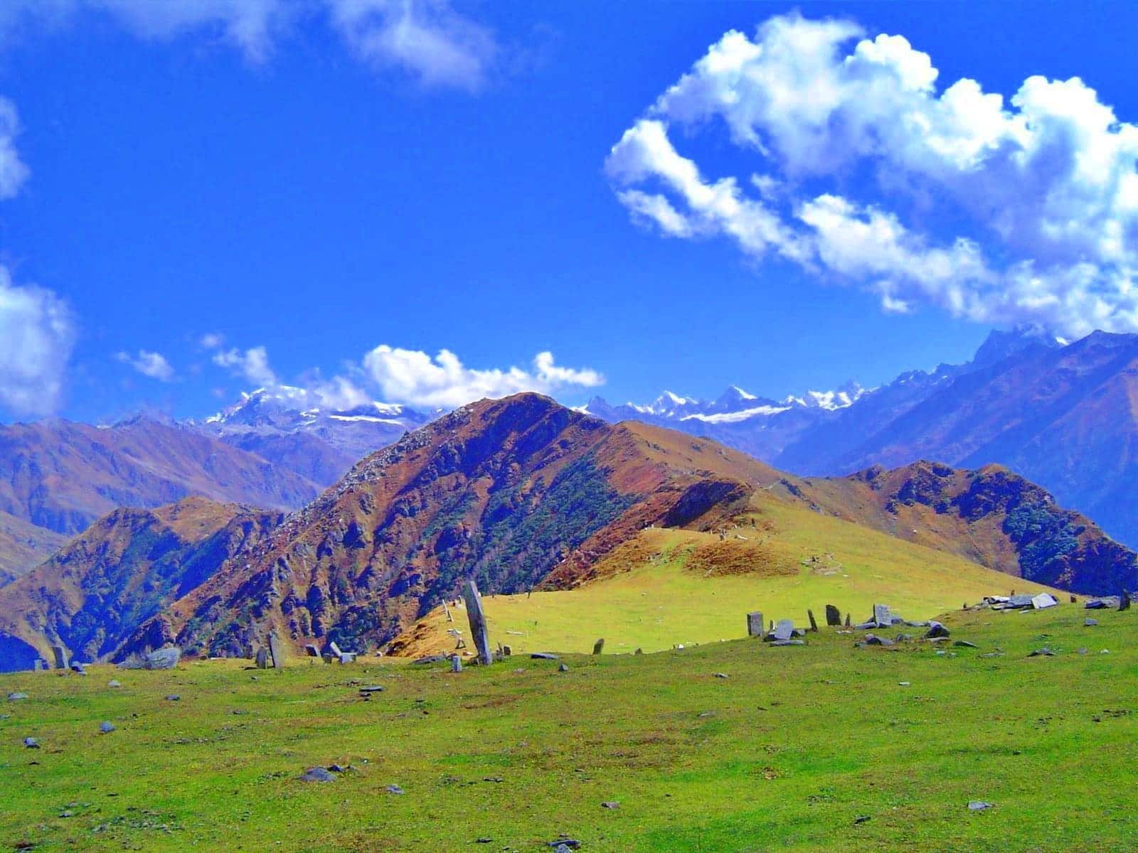
At Kalpra, we had breakfast then and started on a leisurely climb up towards Alyas Base Camp, which is known locally as Lahesh. The trek of six kilometres leads the traveller through an area dotted with boulder fields and vast Himalayan grasslands. While ascending to the top, the surrounding mountains are revealed in stunning splendour. After a 5 to 6-hour trek, it concludes with a satisfying night at the base camp, where you can relax and enjoy the spectacular views from a high altitude.
Day 6: Alyas Base Camp to Darati Pass and Tindi (18 miles)
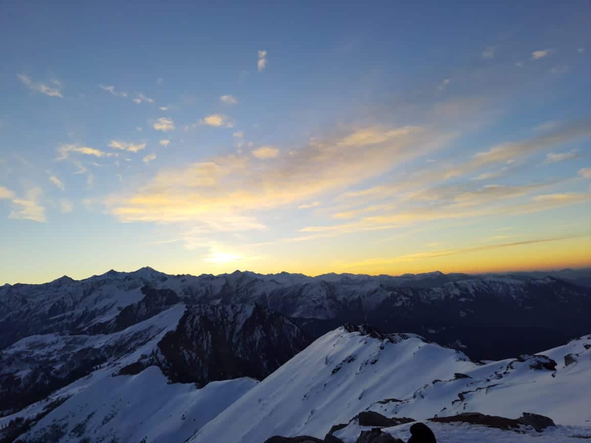
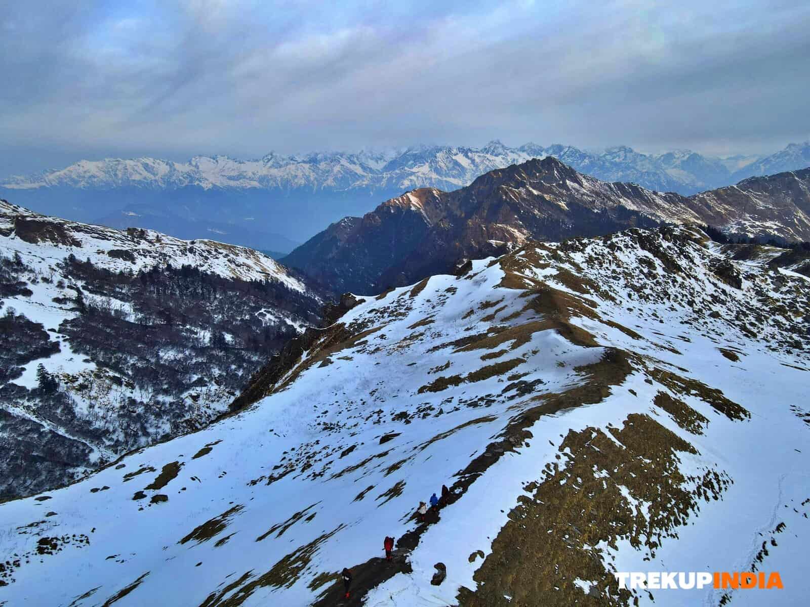
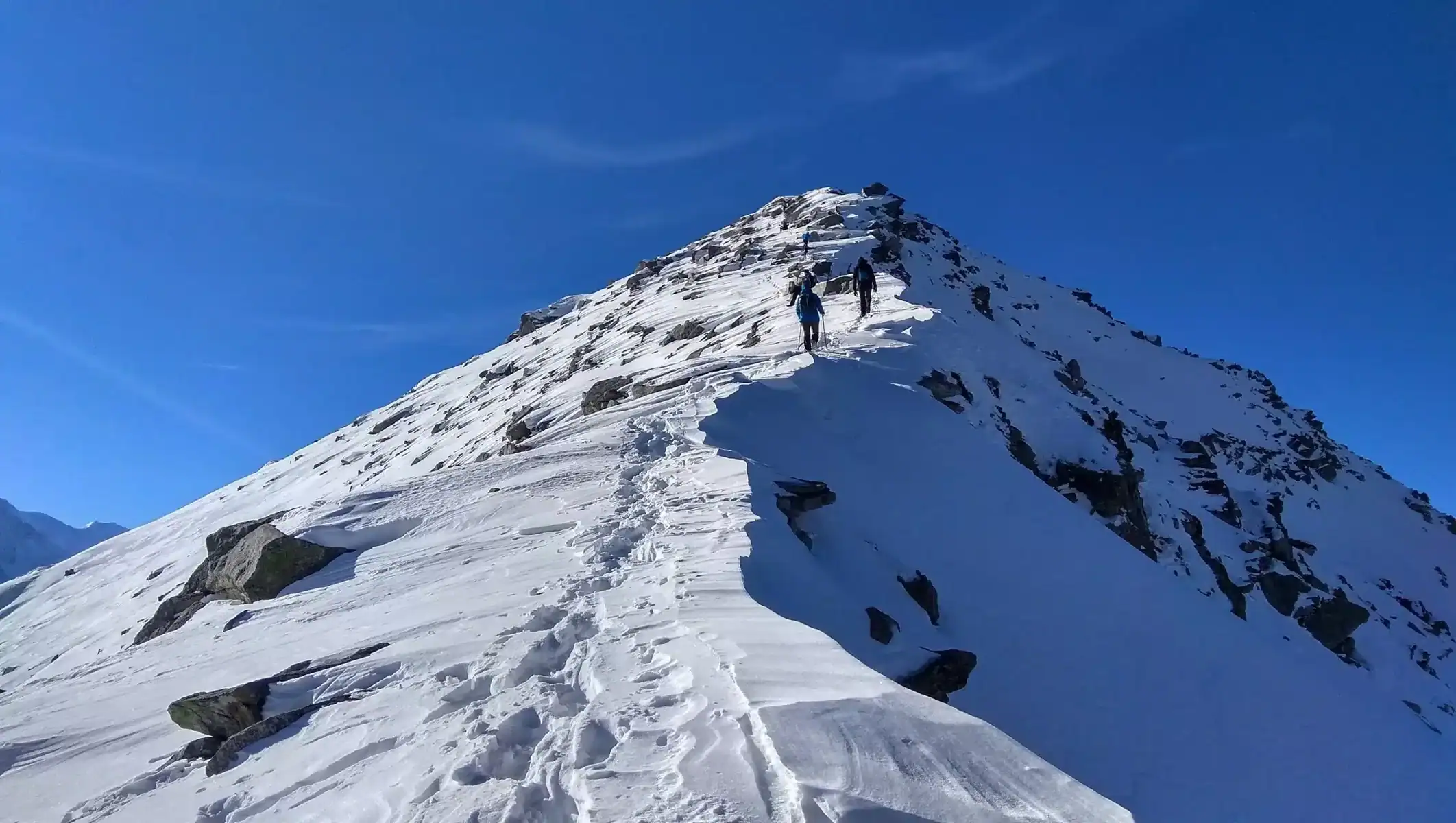
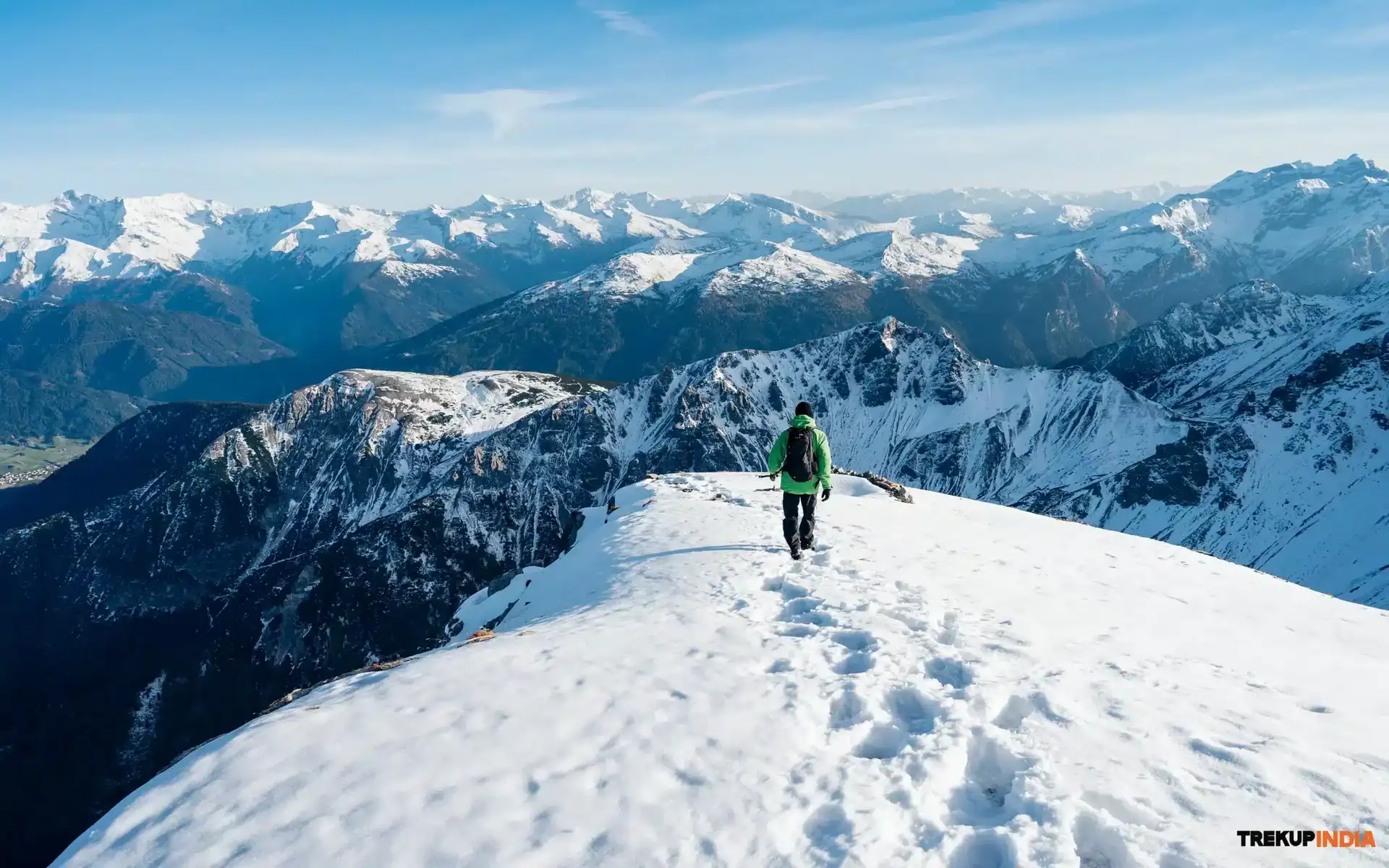
Prepare for an early departure at 4:00 am as you depart Alyas Base Camp for the challenging ascent up to Darati Pass. The cold snow that is buried under the early morning skies makes climbing more manageable than walking when you are walking on freshly fallen snow. The trek is challenging, requiring an altitude climb that is steep along with rough terrain and occasionally vertical climbs, making for an exciting experience. When you reach the top of the Darati Pass, you can take some time to explore the temple and take in the stunning panorama of the Himalayan Mountains. After you’ve enjoyed the view, begin the descent toward the town of Tindi, establish a camp, and then rest throughout the night.
Day 7: Tindi and Trilokinath and Drive towards Udaipur (105 kilometers)
After a restful evening in Tindi and the surrounding area, you will embark on a morning hike towards the well-known Trilokinath. It has both cultural value and breathtaking natural beauty. After your trip to Trilokinath, take your car for a scenic drive that covers about 105km and will bring the driver up to Udaipur. You will be amazed by the shifting landscapes and the reflections of your journey transitioning from mountains to more level terrain.
Day 8: Udaipur to Manali via Keylong
On the final day of your trip, start by visiting the Mirkla Mata Temple in Udaipur to pay respects and collect blessings for the next phase of your travel. Then, leave Udaipur and head to Keylong, the central administrative centre of the Lahaul district’s administrative headquarters. From Keylong, proceed towards Manali through the famous Rohtang Pass, completing your incredible Himalayan journey and bringing you new perspectives and memories that will last for the rest of your life.
How to Reach For Pathankot
Pathankot is well connected to the Himalayan region. It is easy to get there via numerous means of transportation. The following is the best way to reach it:
By Air
- Pathankot Airport: Though it’s a tiny airport with limited flights, Pathankot Airport connects to several destinations within the country.
- Alternate airports: Many travelers choose to fly to more affluent airports like Amritsar (approximately 100 km) and Chandigarh (around 160 km), each of which provides a wider range of international and domestic flights. In either of these airports, it is possible to hire taxis or take an auto to get to Pathankot.
By Train
- Pathankot Junction: It is an easily accessible railway station with trains that run directly from important cities such as Delhi, Amritsar, Jammu, and Chandigarh. This is an excellent alternative if you want relaxing, peaceful travel.
By Road
- Buses Bus services regularly operate from cities of major importance, such as Delhi, Chandigarh, and Jammu, directly to Pathankot.
- Driving: If you’re up to a drive, taking a rental car and hiring a taxi may be an excellent method to experience the ever-changing landscape throughout the journey. The roads are typically clean and well-maintained. For example, the driving distance from Delhi to Mumbai is about 7 hours long and covers approximately 400 kilometres.
If you make it to Pathankot, you will be in a great position to visit the surrounding Himalayan places, such as Dalhousie and Chamba, or the many hiking routes.
Dates For Upcoming Treks
Want To Trek Like Pro?
Basically, watch these videos if you want to trek the same way professional trekkers do and make your skills better. These videos contain useful tips and techniques to further improve your trekking skills itself. These videos actually help both new and experienced trekkers improve their trekking skills. These videos definitely provide useful tips that make your trek better. We are seeing that these videos by Trekup India experts will only help you make your trekking skills better.


Know Everything About Acute Mountain Sickness
Acute Mountain Sickness occurs when people trek to high altitudes above 8,000 feet. This condition itself develops further due to reduced oxygen levels at such heights. Basically, as you go higher up, the air pressure and oxygen levels decrease, which causes the same problem. Acute Mountain Sickness surely causes headache, nausea, vomiting, and dizziness in affected persons. Moreover, peoples also experience difficulty in sleeping during this condition. To avoid mountain sickness, you should actually trek up slowly to higher altitudes. To learn further about this condition itself, watch the videos by Trekup India.


