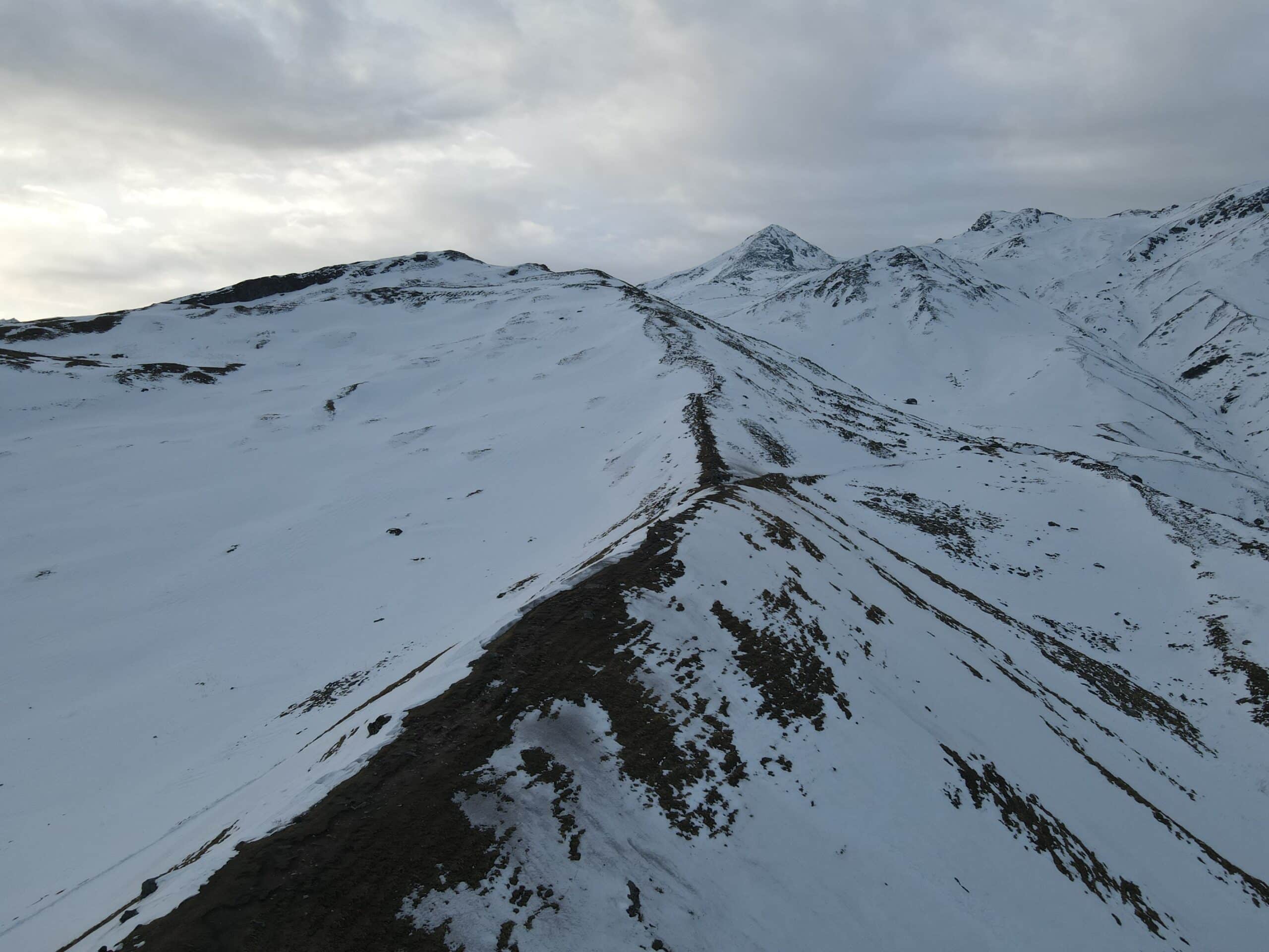
Ballalarayana Durga - Bandaje Falls Trek
Ballalarayana Durga - Bandaje Falls Trek
| Region: | Karnataka |
| Duration: | 2 Days |
| Trek grade: | Easy – Moderate |
| Maximum altitude: | 4,895 ft |
| Best Time to Visit: | July to March |
Ballalarayana Durga – Bandaje Falls trek is a mix between two trekking routes namelytwo treks – Ballalarayana Durga and Bandaje Arbi due to the fact that many people don’t realize that they are able to go all up towards Bandaje Waterfalls when we say Ballalarayana Durga trek. Arbi in the local language is “waterfalls” and hence the words Bandaje Arbi, Bandaje Arbi Falls, Bandaje Falls are utilized interchangeably. Ballalarayana Durga trek is located in Chikmagalur located in Chikmagalur, which is located in the Western Ghats of Karnataka, only 280 km from Bangalore. Chikmagalur is renowned for its coffee farms as well as lush vegetation. It also has distinct flavor to the landscape.
This Ballalarayana Durga trek holds an abandoned fort that was built in the 17th century in its peak as well as a torrential waterfall towards the final. The water cascading down the snout and falling to nearly 1000 feet lower is a breathtaking sight that can make your heart race! Just for this perspective The Ballarayana Durga – Bandaje Arbi trek is an absolute must.
Ballalarayana Durga is a popular trek during monsoons and is loved by both experienced and novice trekkers. Anyone can complete this Ballalarayana Durga hike with just a small amount of preparation.
Highlights of Ballalarayana Durga
The forest’s first section
While the forest area is small, it’s alive with life. Keep an eye out for old trees, and a myriad of birds, insects, and flowers.
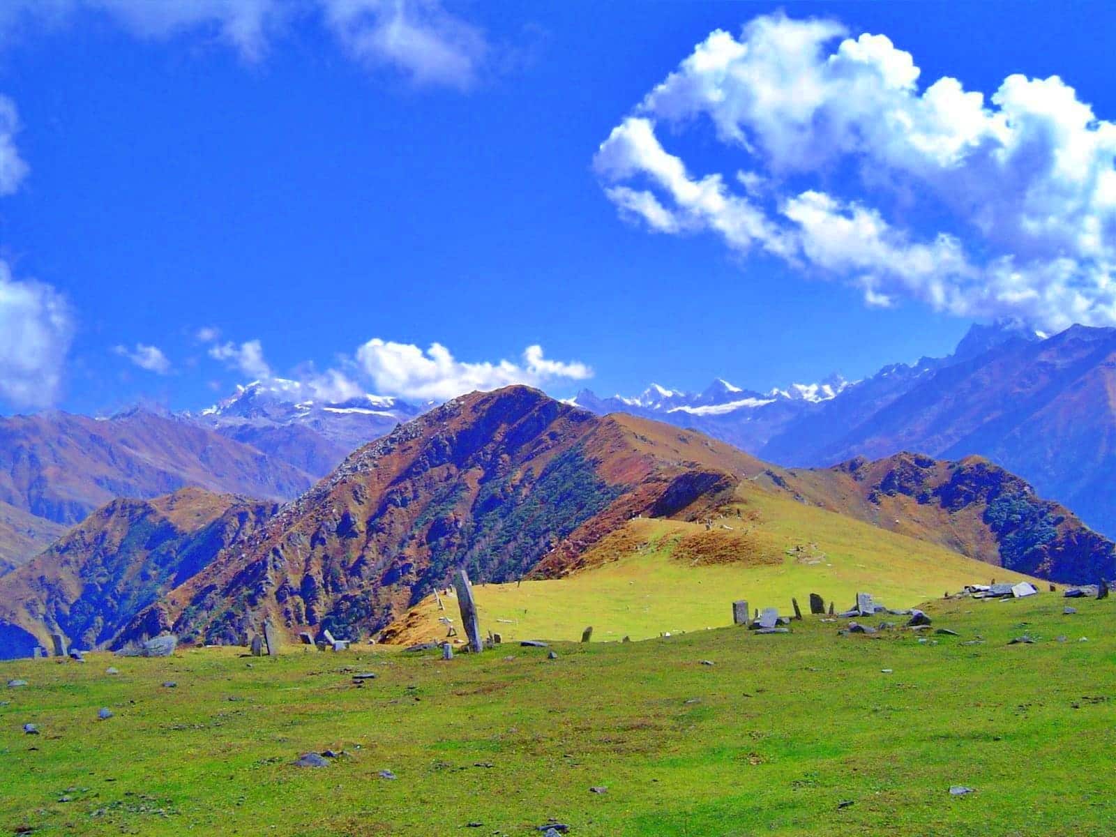
The Himalayan meadow-like Shola Grasslands with Shola forests
The meadows on the hike are gorgeous that they resemble Ali or Bedni meadows that are found in the Himalayas.
View of the waterfall at the end of the snout
There are a few of treks which allow you to view the water fall from the snout for over 1,000 feet before it reaches the ground. The Ballalarayana Durga trek is one of them.
Ballalarayana Durga Trek Detailed Trail Information
I want to remember the details below regarding the Ballalarayana Durga trek:
The trek starts at a higher altitude, making the climb to the fort relatively easy. The route involves descending around 1,300 feet towards Bandaje waterfalls before returning to the starting point, covering a total distance of approximately 6.5 kilometers.
Part 1: Trek from Kalabhyraveshwara Temple to Ballalarayana Durga Fort
Trek Distance: 3 Kilometers
Trek Duration: 1 Hour and 30 Minutes
The trail commences at Kalabhyraveshwara Temple, where overnight camping is possible. The initial part of the trail up to the first forest section is along a moderately inclined mud road. SUVs and Jeeps can access the point of departure, located just a mile away from the temple. For those driving regular cars, it is advisable to park at the temple and proceed on foot. Approximately 900m from the temple, the road turns left, leading to Rani Jhari View Point, which offers panoramic views of Kudremukh National Park.
Continuing on the trail to the right, one can enjoy expansive views of the National Park. After walking some distance, you’ll encounter an older Forest Department billboard, a dustbin, and a check-post-like barricade, marking the beginning of the first forest section. On the left, the Ballalarayana Durga fort atop the hill comes into view, signaling the start of the forest trail. Following the trail to the left, you’ll ascend further. While the trek isn’t strenuous, it’s essential to stay hydrated, especially in the fall and the months leading up to summer.
Continuing along the forest path, you will encounter an incline of rock on the right with naturally-formed uneven steps. Climbing this rock formation will feel like entering a scene from Indiana Jones, with its steep slope and vines. Exercise caution while climbing, particularly during the monsoons when the forests are teeming with leeches.
After ascending the rock face and crossing a zig-zag trail, you will reach the first clearing, providing a closer view of the Ballalarayana Durga fort, which now lies in ruins. Only a couple of rows of foundation stones remain, indicating the fort’s former grandeur. As you proceed for about 300m, you’ll enter the second section of forest. Similar to the previous one, this area features diverse insects, flora, and small streams during the monsoons. The trail continues to ascend slowly, with slippery sections prone to landslides. Support from branches or trekking poles can aid in safe climbing.
Before reaching a small stream, you will encounter another incline. It’s important to take the trail on the right to avoid venturing into the forest and losing track of the path. After another 200m, you’ll reach another clearing, from where a gradual ascent leads to the Ballalarayana Durga fort.
Upon reaching the fort, take time to explore the extensive ruins, bastions along the edges, stone carvings, and admire the breathtaking views of Shola pastures, Shola woodlands, Kudremukh National Park, and its mountain peaks. You can also revel in the impressive vista of the Shola woodlands from the Rani Jhari view point and the Kalabhyraveshwara temple, where the trek began.
After you’ve explored the historical Ballalarayana Durga Fort, it’s time to set your sights on the breathtaking Bandaje Falls. The trek to the falls spans approximately 3.8 kilometers and takes around 2 hours and 30 minutes to complete.
As you depart from the fort, backtrack along the same path until you reach the point where you originally ascended towards the fort. From here, take the path that leads to the left through the grassland towards Bandaje falls. This section of the trek offers a mesmerizing 360-degree view of the Western Ghats, with the possibility of clouds drifting close to you. If you’re hiking during the monsoon season, be prepared for strong winds that can even nudge you off course.
The trail leading to the waterfall is surrounded by hills and features a series of ascents and descents, including a captivating rock patch. During the fall and winter, the landscape may appear dull, with sand interspersed between rocks. It’s intriguing to imagine whether rivers once flowed through here, transporting the sand. Approximately 3.8 kilometers from the fort, after about two hours of trekking, you’ll begin the final descent towards Bandaje falls. As you approach this section, there may be no audible or visible indication of the waterfall’s presence, until you reach the area with thick trees and hear the soothing sound of rushing water.
The ever-changing appearance of the waterfall makes every visit unique. In winter and autumn, the water flows gently, contrasting with the torrential flow during the monsoon season, resembling the consistent flow of milk. The sight of the water cascading over 1,000 feet below is truly remarkable. Take some time to admire the panoramic views of Mangalore’s coast to your left and the forests of the Dakshina Kannada district in front of you. The area around the waterfall is perfect for relaxation. Savor the pure, unspoiled water, dip your feet in the cool water, and marvel at the wonder of nature.
After enjoying a well-deserved break, it will be time to head back to your starting point, retracing your steps across the rocky sections. Exercise caution during the return journey to avoid slipping and potential injury.
Best Time To Do Ballalarayana Durga – Bandaje Falls Trek
Ballalarayana Durga treks can be undertaken throughout the monsoon season until the winter’s end (July to March). You’ll get the most memorable experience when you undertake the trek during monsoons because the whole valley is lush green and the grasslands appear as if they’re straight from the Himalayas. Additionally, the Bandaje Falls are flooding with force!
In comparison with Kumara Parvatha that is not performed during monsoons due the danger of the conditions, Ballalarayana Durga is a pleasure to enjoy during monsoons. It is among the only treks in the Western Ghats that you can take part in monsoons.On the other hand, if desire clear, unobstructed images of the surrounding hills as well as Kudremukh National Park, choose the post-monsoon or winter months in which the skies aren’t clear. The winter and autumn seasons are awash the views of the horizon that are lost in monsoons. However, the monsoons compensate for the views by providing an enthralling carpet of grasslands and thundering waterfalls.
The reason the reason we are not recommending this hike in the summer is due to the dry grasslands and extremely hot weather. Because there isn’t any shade, except for the forest areas before the fort and the waterfall after the heat and sun will quickly drain you.
Dates For Upcoming Treks
Want To Trek Like Pro?
Basically, watch these videos if you want to trek the same way professional trekkers do and make your skills better. These videos contain useful tips and techniques to further improve your trekking skills itself. These videos actually help both new and experienced trekkers improve their trekking skills. These videos definitely provide useful tips that make your trek better. We are seeing that these videos by Trekup India experts will only help you make your trekking skills better.




Know Everything About Acute Mountain Sickness
Acute Mountain Sickness occurs when people trek to high altitudes above 8,000 feet. This condition itself develops further due to reduced oxygen levels at such heights. Basically, as you go higher up, the air pressure and oxygen levels decrease, which causes the same problem. Acute Mountain Sickness surely causes headache, nausea, vomiting, and dizziness in affected persons. Moreover, peoples also experience difficulty in sleeping during this condition. To avoid mountain sickness, you should actually trek up slowly to higher altitudes. To learn further about this condition itself, watch the videos by Trekup India.
