Kang La Trek
Kang La Trek
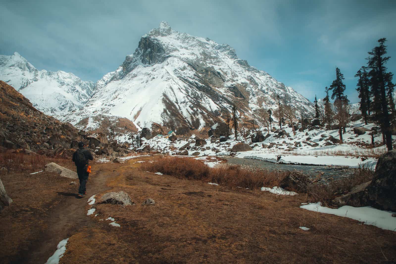
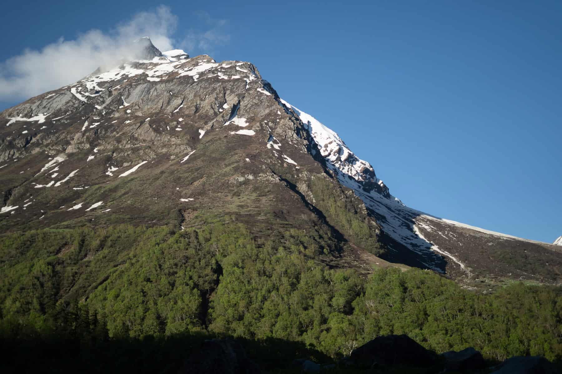
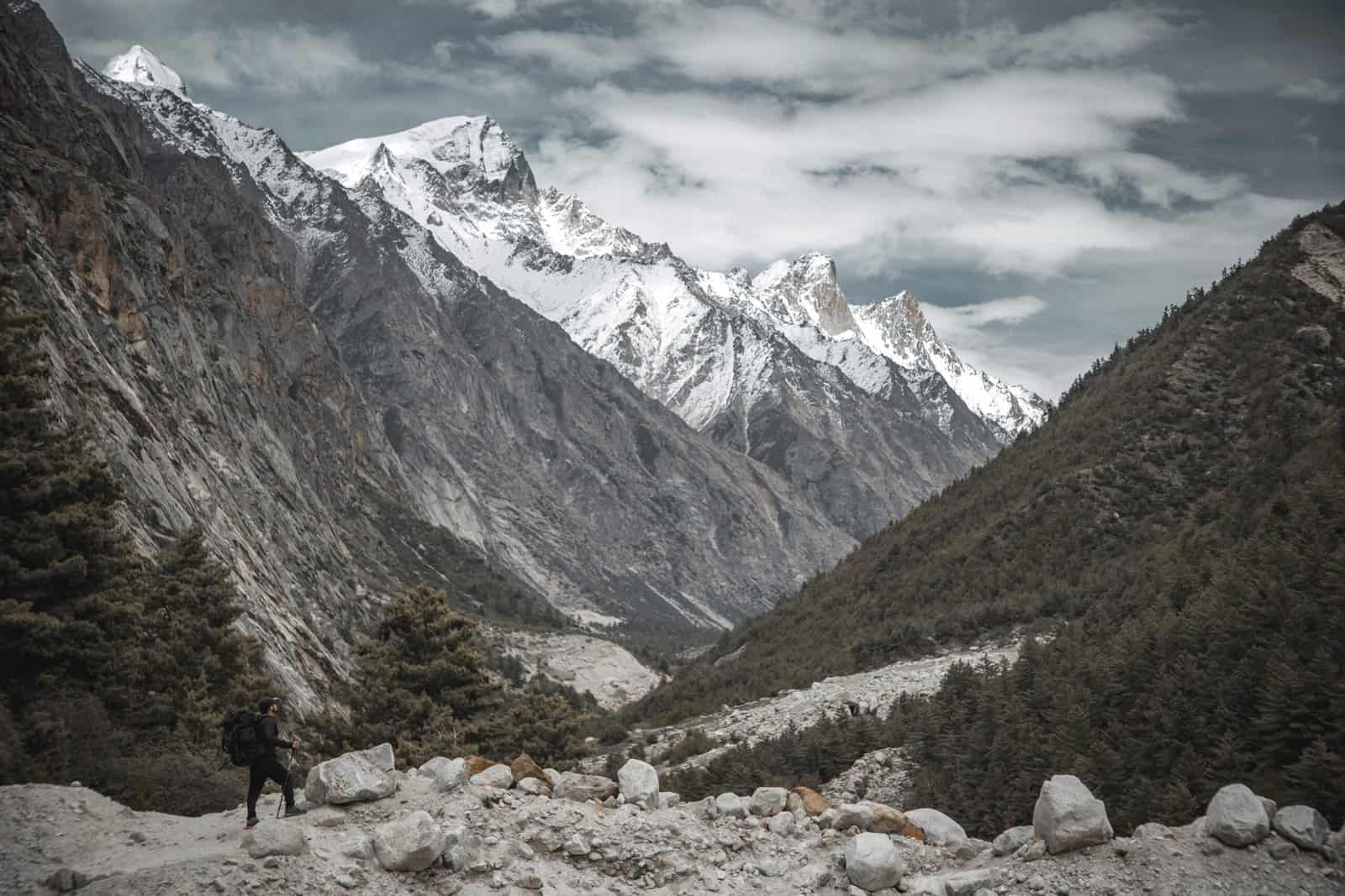
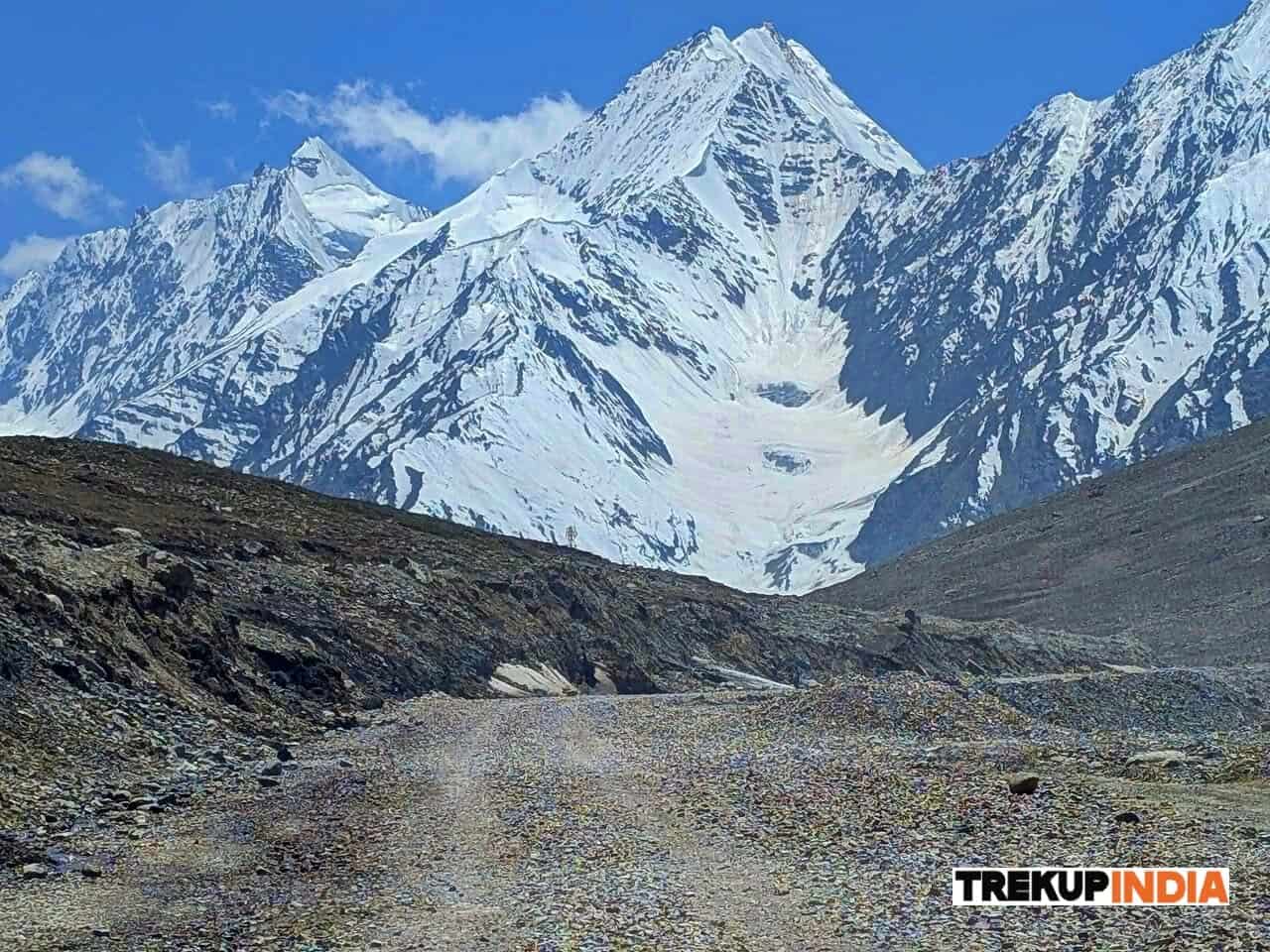
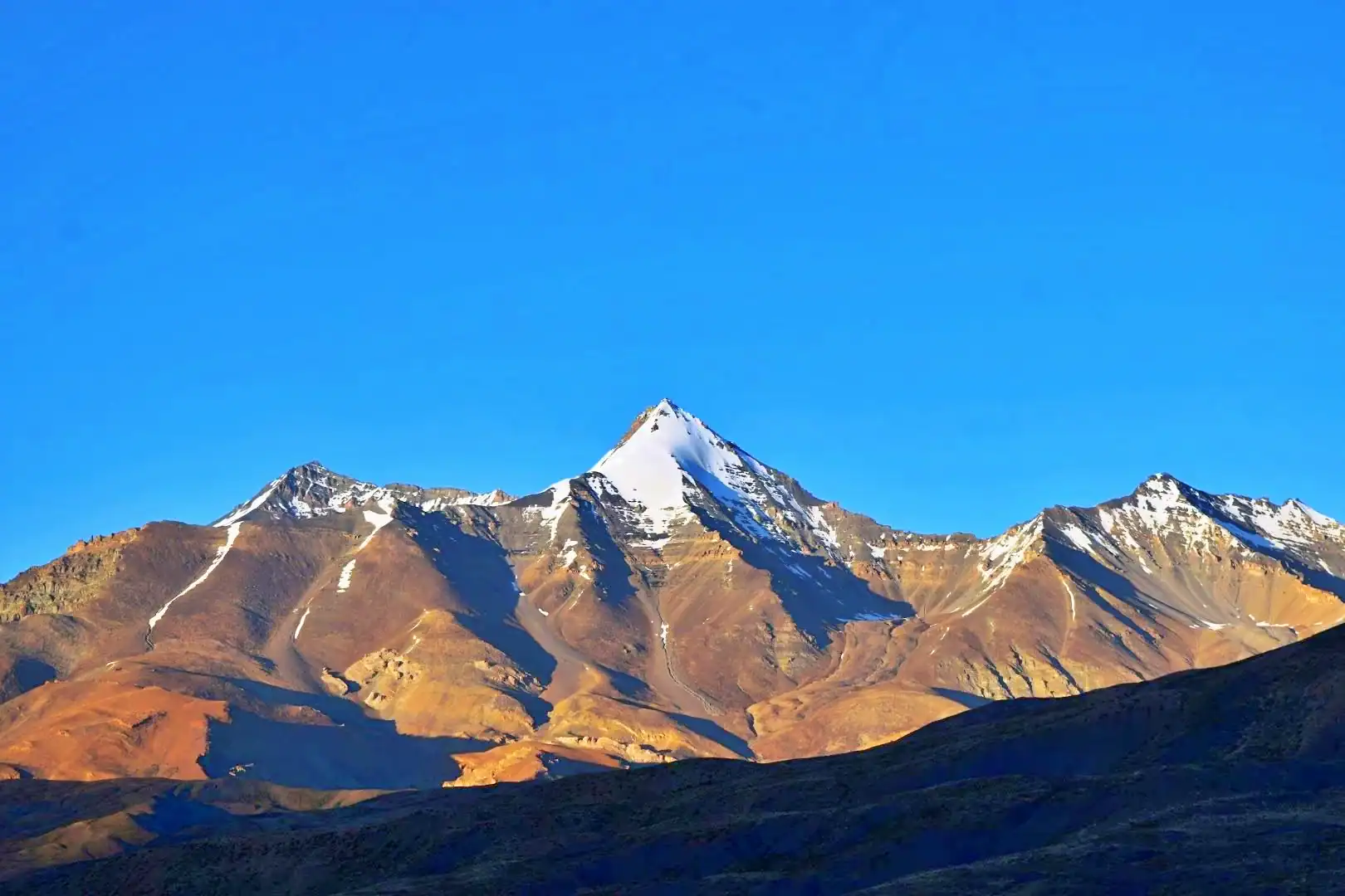
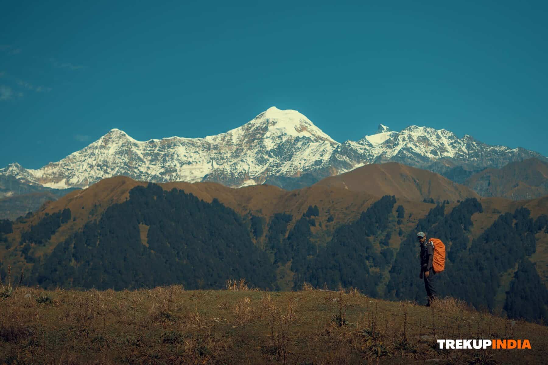
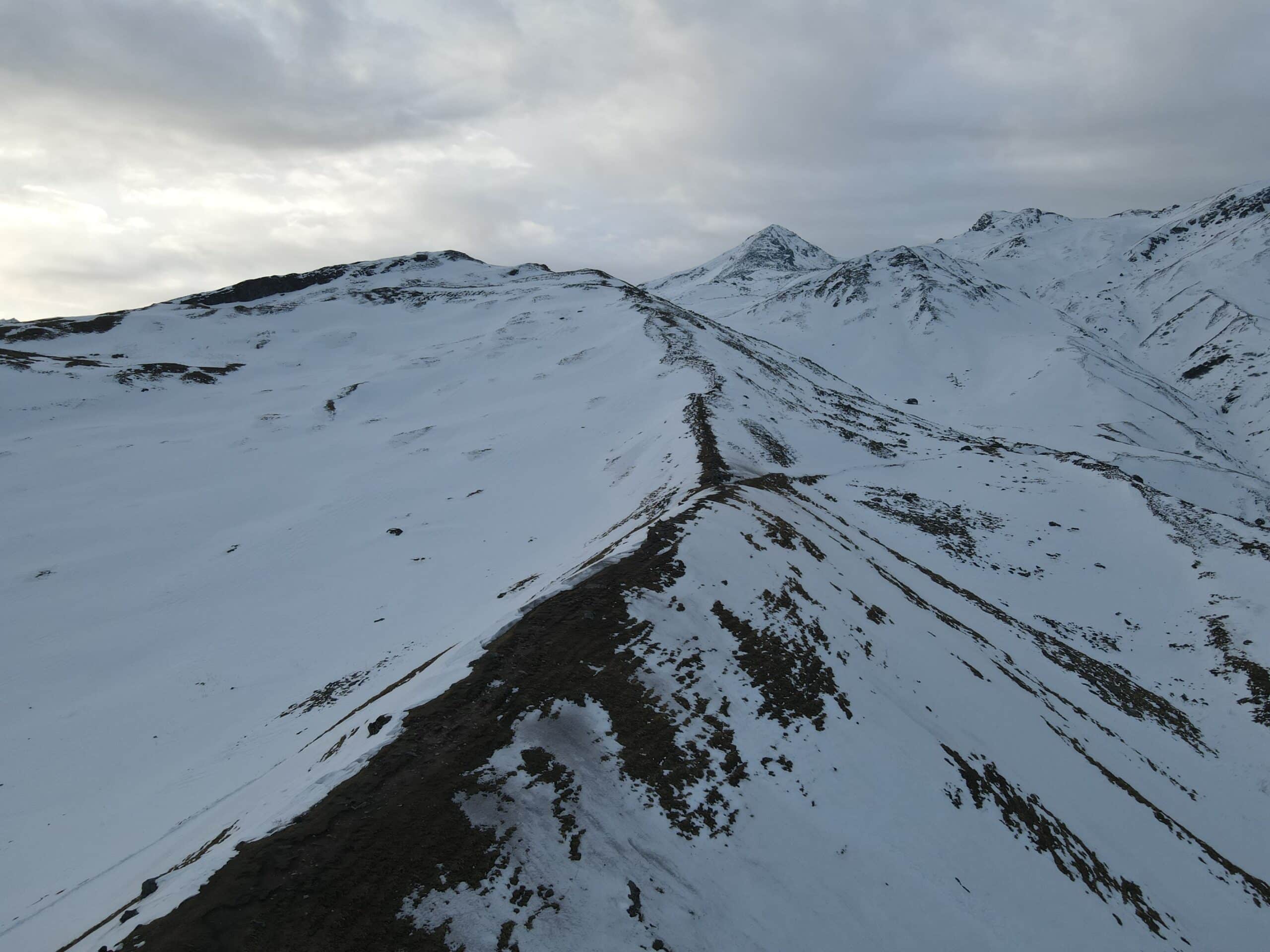
The Kangla Pass Trek begins in Himachal Pradesh’s Lahaul region, specifically in the Miyar Valley, known for its picturesque flowers and unspoiled grasslands at high altitudes. After crossing through Kang La Pass at 5460 meters elevation, this journey culminates with reaching its highest elevation at 5465 meters. Zanskar Valley in Ladakh, which is an alpine landscape dominated by rocks and ice, can also be reached. Kang La valley lies on the border between Himachal Pradesh and Jammu and Kashmir and boasts the longest glacial route of any mountain pass in the central Himalayas at 24 km long. Climbing one of Himachal Pradesh’s biggest glaciers to reach Padum Village in Zanskar provides an outstanding juxtaposition of landscapes and traditions. Trekkers on this strenuous trek from Himachal Pradesh to Ladakh pass by unspoiled meadows, glacial lakes with vibrant emerald hues, crevasses of all sizes, and rugged ridges with gigantic glaciers looming overhead as they explore various unknown peaks along their journey. Kang La Trek is a remote trek through the Indian Himalayas that requires experienced trekkers with an exceptional level of endurance to complete. Stretching from Manali through Srinagar, its path provides an amazing diversity and full-bodied experience, including abrupt changes in landscape, culture, language, and climate, making it perfect for anyone seeking an immersive adventure! If you want a full spectrum of experiences, this trek is your answer: read further for plans, a detailed itinerary, temperature guide, photos, videos, as well as personal accounts from those who have successfully scaled Kang La Pass.
Best Time for Kang La Trek
From mid-June through late October, snow melt has allowed safe travel at lower elevations while protecting higher ones.
Peak season for lower meadow flowers runs from July to September – ideal temperatures and conditions in terms of flowers blooming across lower meadows.
Winter and monsoon months should be avoided for outdoor travel, as snow may block treks, while monsoon rainfall could create hazardous conditions along the trek.
Highlights of Kang La Trek
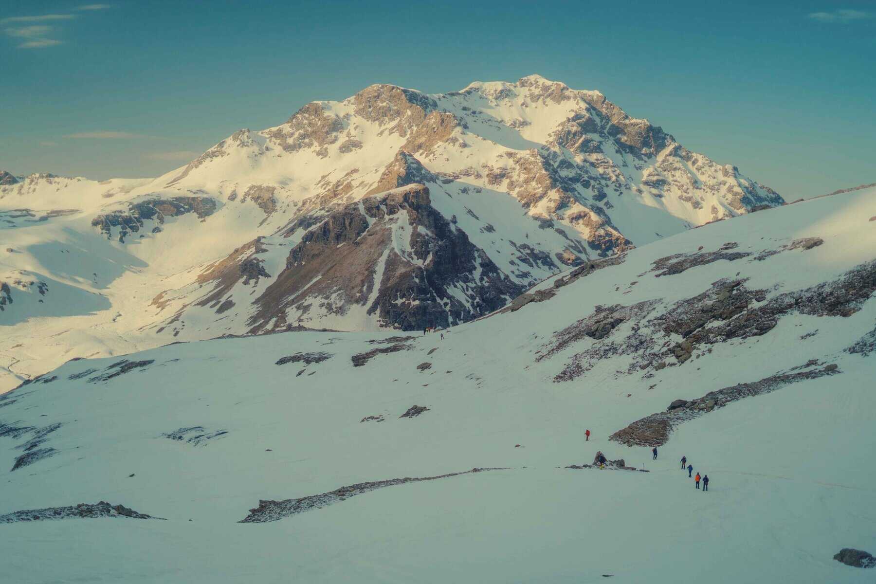
- Dramatic Glacier Crossings: Trek includes an exhilarating 25 km glacier approach along the Miyar Glacier before arriving at Reddit Pass.
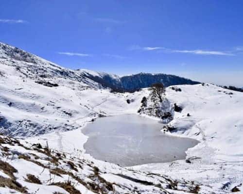
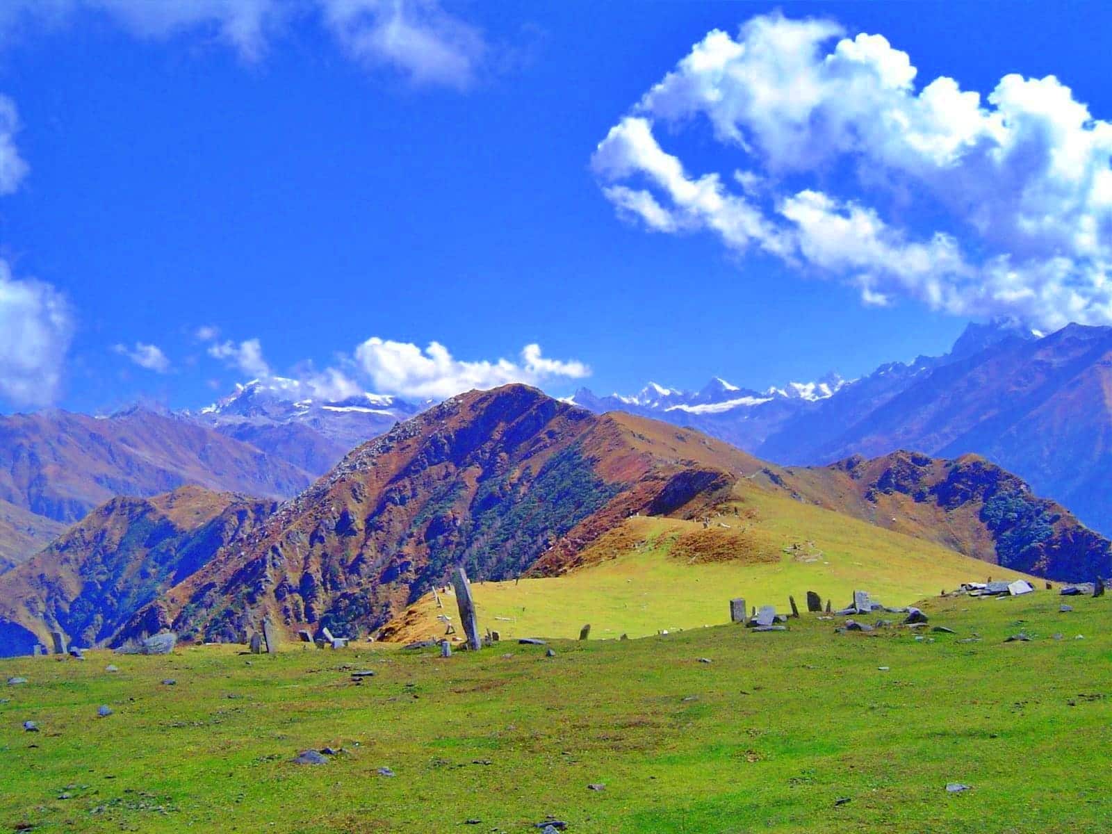
- Explore Mesmerising Flora & Meadows As you wander across meadows filled with vibrant river flora, wildflowers, and mountain landscapes, enjoy breathtaking flora & meadows that offer something spectacular for all senses.
- Remote Wilderness and Culture. It travels through the Gaddi villages of Miyar before entering Buddhist Zanskar with monasteries, as well as the Ladakhi tradition Potala-Himalaya in Ladakh.
- Two State Trek Experience: Starting in lush Himachal forests and ending in stark, arid Ladakh beauty, traversing diverse terrain and cultures along the way.
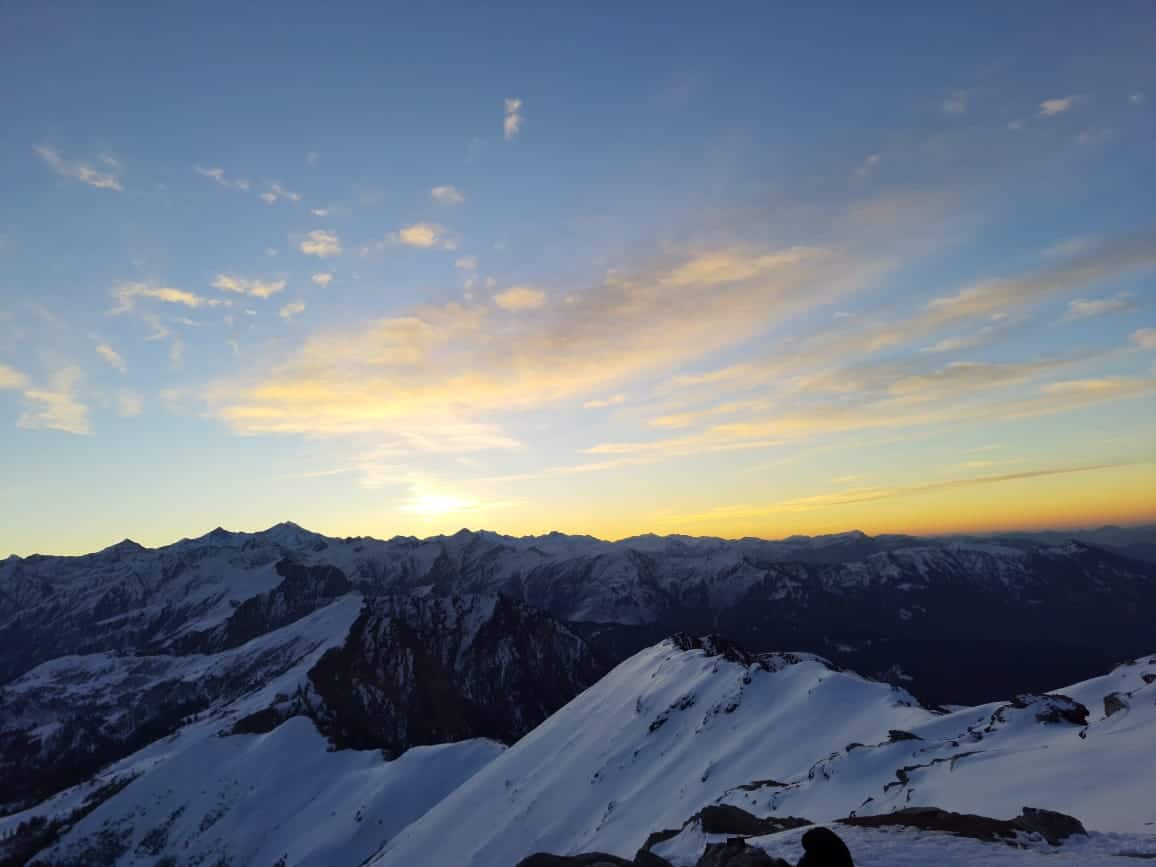
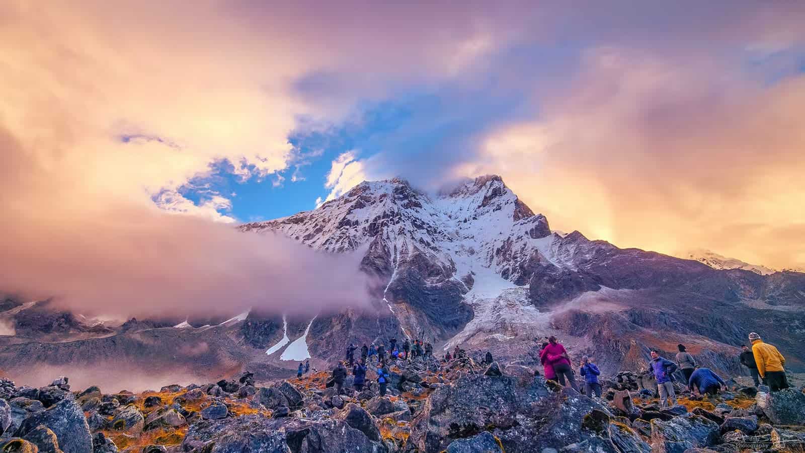
- Panoramic Himalayan Views: Witness breathtaking panoramic Himalayan views including Annapurna, Drang Drung, Nun-Kun groups, and Drang Drung Glacier.
Kang La Trek Detailed Trail Information
Day 1: Changut to Manali via Udaipur (135 miles drive).
Starting our journey from Manali, our trek crosses Rohtang Pass before arriving in Udaipur, located within the Chandrabhaga valley. Next, we travel north along Miyar Valley until reaching Changut village – our evening stopover.
Day 2: Changut to Yolithang via Shukto 10km.
The journey starts by traveling a short distance to Shukto, where we will cross over the Miyar River via a suspension bridge to begin trekking. On the opposite side of this bridge lies Khanjer, the last village in Miyar Valley. Our route will begin by walking through the village, past its local temple and chorten. After, we will traverse fields brimming with cabbages and peas before crossing a stream for approximately one kilometre until reaching our campsite at Thanpattan’s pastures. A small hilltop chorten offers breathtaking views of the valley below and towering rock cliffs to its opposite side, while passing by picturesque pastures of Tharang dotted with pink Himalayan fleece, then onto Tharang Peak’s magnificent glacier-clad rock faces to our left; short walks will then lead us back to Yolithang for our campsite stop for the day.
Day 3: Yolithang to Zardung (12,800 Feet). 10 km.
Today’s trek will be relatively level and easy, passing through an area with large rock formations close to our campsite and later descending into a 3-kilometer-long grassy zone. On our right is another valley containing an impressive rock formation as well as an asphalt road leading towards Darcha along the Manali-Leh highway. From here, our valley turns slightly east towards Gompa, which features multiple small lakes reflecting its surrounding mountains. After visiting the Gompa, our journey will lead us to Zardung, a campsite known as home to precious stones and boulders. Here you can enjoy a stroll among these boulders before setting up camp for the night in Zardung.
Day 4: Zardung to Kesar Yon Chhaap (13.1 km).
Today will likely be one of the most thrilling travel days yet! As soon as we enter Miyar Valley, its breathtaking splendour unfolds before us: glacial streams flow down from right side, their crystal-clear waters extending almost a quarter-kilometre downstream; walking brings us to final moraine in Miyar glacier where Kesar Yon Chhaap awaits: this tranquil spot translates as “seven sacred waters”, giving seven sparkling afternoon walks along lakes looking for treasures like Kesar Yon Chhaap where we can stay the night immersed in nature’s splendour!
Day 5: Acclimatisation and Rest at Kesar Yon Chhaap.
Today, we will spend the entire day getting used to the altitude in Kesar Yon Chhaap before beginning our trek towards Miyar glacier later.
Day 6: Kesar Yon Chhaap to Miyar Glacier Camp (14.560ft), 12 kms
As time progresses, the terrain becomes increasingly demanding, with notable changes to the landscape: sprawling grasslands give way to rugged moraine and scree fields; then our descent continues towards colourful wildflowers on ridges covered by colourful wildflowers. After approximately two hours of trekking, we begin our gradual descent toward Jungpada glacier which begins from a valley that lies to our left; once there we follow its final moraine which features majestic walls of ice-encrusted rock; after crossing this glacier we climb through mountainous scree and moraine until reaching Miyar glacier; hopefully finding suitable campsite.
Day 7: from Miyar Glacier Camp to Kang La Base Camp (15,750 feet). 9 kilometres in distance.
Today’s trek up Miyar glacier will be a relaxing stroll along a gentle slope, traversing through its centre while admiring breathtaking Antarctic landscape views along our journey. As night falls, we will arrive back at our campsite located atop Miyar.
Day 8: from Kang La Base Camp to Temasa Tongpo (14.4 Kms) via Kang La (17,900 Ft). – 17km.
Today, we begin our trek up Miyar Pass. There will be both uphill and downhill climbs ahead. Our trek will follow the true right section of a glacier until we reach where two glaciers meet at the summit of Miyar Valley. Our right (known as the true left) connects towards Kang La, although its pass itself may not be visible from our point of origin. As we travel toward Kang La, our path will pass along a ridge on our true left (left of true right). While traversing these crevasses, we must also remain mindful to avoid injury to those on glacier slopes. Once we reach the pass, visitors will experience breathtaking panoramic views of rugged mountain ranges that dominate this region, Zanskar. From here we descend along a glacier with many crevasses until reaching two valleys merging at the glacier’s base – after spending two nights sleeping on solid terrain!
Day 9: Temasa Tongpo to Padam (11,800 feet). 15km Trek, 12km Drive.
Today, we will trek along the scenic Temasa Nallah until reaching Padam. Nearing the base of Temasa Valley, you’ll begin seeing signs of settlements appear; when we reach our roadhead, we will continue onward to Padam, which is situated within Zanskar Valley – we will stay overnight at either a guest house or hotel located here.
Day 10: Padam to Kargil Drive of 230 kilometres.
As we travel over to Penzi La Pass at an elevation of 14,800 feet, our route will lead us from Padam to Kargil today, taking in magnificent sights such as Drang Drung glacier and beautiful lakes located within its walls in route. You will spend tonight at either a guesthouse or a hotel in Kargil.
Day 11: from Kargil to Srinagar
After leaving Leh, we will embark on an unforgettable excursion along the Leh-Srinagar Highway that passes over Zoji La Pass to Srinagar, where we will spend our final night at an accommodating guesthouse or hotel before beginning our return trip on day 4.
Day 12: Reserve Day
An extra day should be set aside in case unexpected circumstances, like bad weather or any unforeseen happenings during your journey, arise that require extra planning.
How to Reach For Kang La Trek
Fly into Bhuntar (Kullu-Manali Airport).
Bus and train services to Manali are available from Delhi/Chandigarh.
From Manali, head west over Rohtang Pass and continue towards Rumsu/Shukto (via Patlikuhal). Sumos and Jeeps are available for rough roads.
Dates For Upcoming Treks
Want To Trek Like Pro?
Basically, watch these videos if you want to trek the same way professional trekkers do and make your skills better. These videos contain useful tips and techniques to further improve your trekking skills itself. These videos actually help both new and experienced trekkers improve their trekking skills. These videos definitely provide useful tips that make your trek better. We are seeing that these videos by Trekup India experts will only help you make your trekking skills better.


Know Everything About Acute Mountain Sickness
Acute Mountain Sickness occurs when people trek to high altitudes above 8,000 feet. This condition itself develops further due to reduced oxygen levels at such heights. Basically, as you go higher up, the air pressure and oxygen levels decrease, which causes the same problem. Acute Mountain Sickness surely causes headache, nausea, vomiting, and dizziness in affected persons. Moreover, peoples also experience difficulty in sleeping during this condition. To avoid mountain sickness, you should actually trek up slowly to higher altitudes. To learn further about this condition itself, watch the videos by Trekup India.
