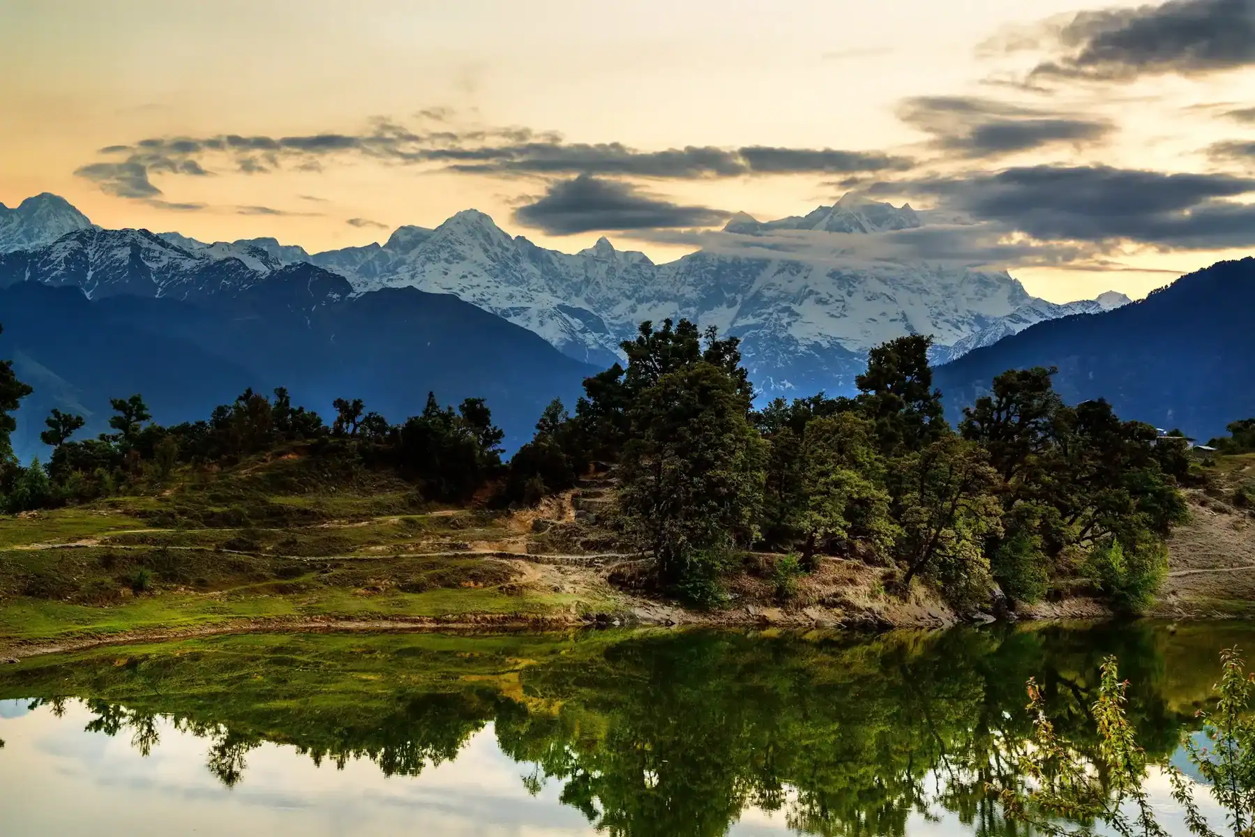
Tandulwadi Fort Trek
Tandulwadi Fort Trek
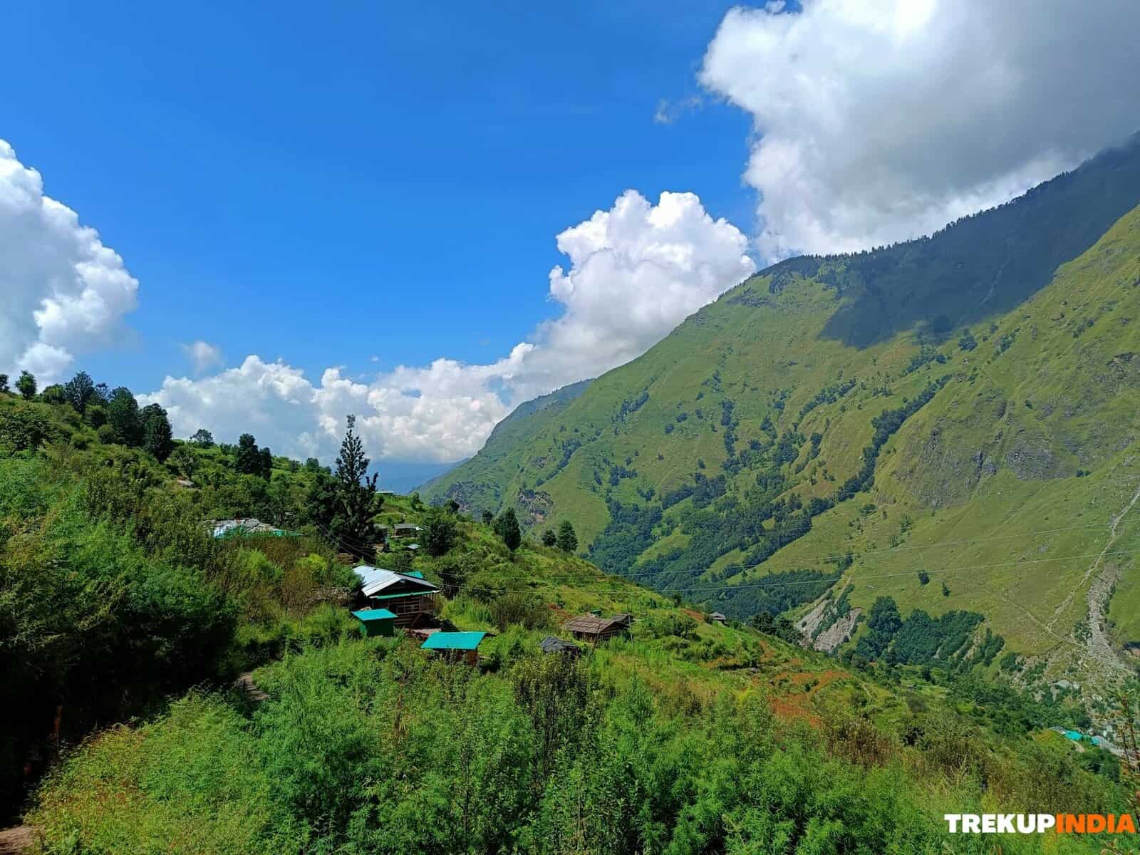
Tandulwadi Fort, located in Saphale, is conveniently obtainable from Mumbai. Its name stems from the base village, Tandulwadi. Although the fort on top no longer exists, it deserves trekking for the panoramas of the Vaitarna and Surya rivers. The altitude is 1,669 feet, and it takes about 2.5 hours to rise and 2 hours to come down. The trek slope is modest, with a primarily rough course. There are no water resources offered, so it is suggested to bring a minimum of 3 litres of water. Upon getting into the village, you will certainly see Tandulwadi Hill straight before you. Go by a play area and a vibrantly tinted institution structure on your left, with the gram panchayat workplace on your right.
Essential points to bear in mind
- The course is not covered, so it is recommended to undertake this walk throughout the downpour or wintertime.
- Make certain to bring sufficient water as there are no water resources along the road.
- Pay attention to loading your very own food.
- This is a brief trek throughout the wintertime or downpour period, beginning with Mumbai.
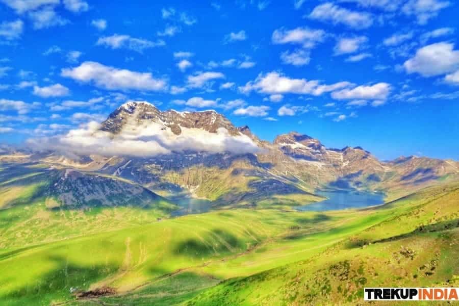
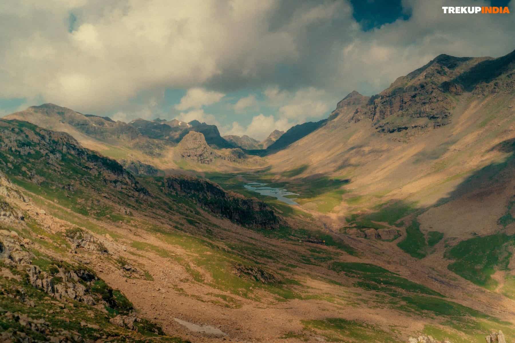
- Engage in this trek to experience the difficult landscape and appreciate the impressive views of the Surya and Vaitarna rivers.
Detailed Trail Itinerary Of Tandulwadi Fort
The trail to the fort begins with the left side of the gram panchayat workplace. Follow this trail for approximately 30 minutes, leading to the initial plateau. Now, several routes might be complex. There is one trail that goes straight in advance, rising and an additional that is most likely to the right.
Comply with the course to the right. After 10-15 minutes, the course vanishes, and rocks will border you. This location is where a seasonal waterfall moves, so that browsing can be challenging. Go up with the rocks and bushes till you locate the course once more.
As soon as you’re back on the appropriate trail, you will certainly discover arrowheads showing the method to the top (if you’re having the problem, the trail shows up on Google Maps). Relax if required, yet understand that the trail in advance is rough and provides no colour. It is subjected to sunlight, so it remains hydrated, particularly throughout summertime. When you arrive, you will not locate the fort, as it vanished long ago.
Nonetheless, the “Marathi Yuvak Sangh” group has identified the different factors that are utilized to exist below, such as Bale Killa, holy place, water fish pond, water tank, and tool storeroom. From the top, you can see the Vaitarna River and the meeting point of the Vaitarna and Surya rivers.
To come down, adhere to the very same course, yet beware. The completely dry fallen leaves on the ground make the rocks unsafe, and it’s difficult to establish which rocks are steady due to the fallen leaves. It takes roughly 2 hours to go back to the village.
To reach the Starting Point Or Base of Tandulwadi Fort
Start by taking a train to Saphale, the 2nd terminal after Virar. You can take the MEMU train that departs from Dadar terminal at 5:15 a.m. and comes to Saphale at 6:34 a.m. One more choice is to take the Churchgate-Dahanu regional train, which gets to Saphale at 7:03 a.m. When you leave the terminal, you can take an ST bus or a common jeep from the bus station on the eastern side. The jeeps will certainly take you to Varai Phata, which is 2 kilometres away from Tandulwadi village. The trip takes about 30 minutes, and you can bargain with the vehicle driver to take you to the village for an extra cost if you’re in a huge group. If you complete the trek by 2:30 –3:00 p.m., you can capture the 4:09 p.m. Dahanu-Dadar regional from Saphale.
Dates For Upcoming Treks
Want To Trek Like Pro?
Basically, watch these videos if you want to trek the same way professional trekkers do and make your skills better. These videos contain useful tips and techniques to further improve your trekking skills itself. These videos actually help both new and experienced trekkers improve their trekking skills. These videos definitely provide useful tips that make your trek better. We are seeing that these videos by Trekup India experts will only help you make your trekking skills better.


Know Everything About Acute Mountain Sickness
Acute Mountain Sickness occurs when people trek to high altitudes above 8,000 feet. This condition itself develops further due to reduced oxygen levels at such heights. Basically, as you go higher up, the air pressure and oxygen levels decrease, which causes the same problem. Acute Mountain Sickness surely causes headache, nausea, vomiting, and dizziness in affected persons. Moreover, peoples also experience difficulty in sleeping during this condition. To avoid mountain sickness, you should actually trek up slowly to higher altitudes. To learn further about this condition itself, watch the videos by Trekup India.


