Sarchu Circuit Trek
Sarchu Circuit Trek
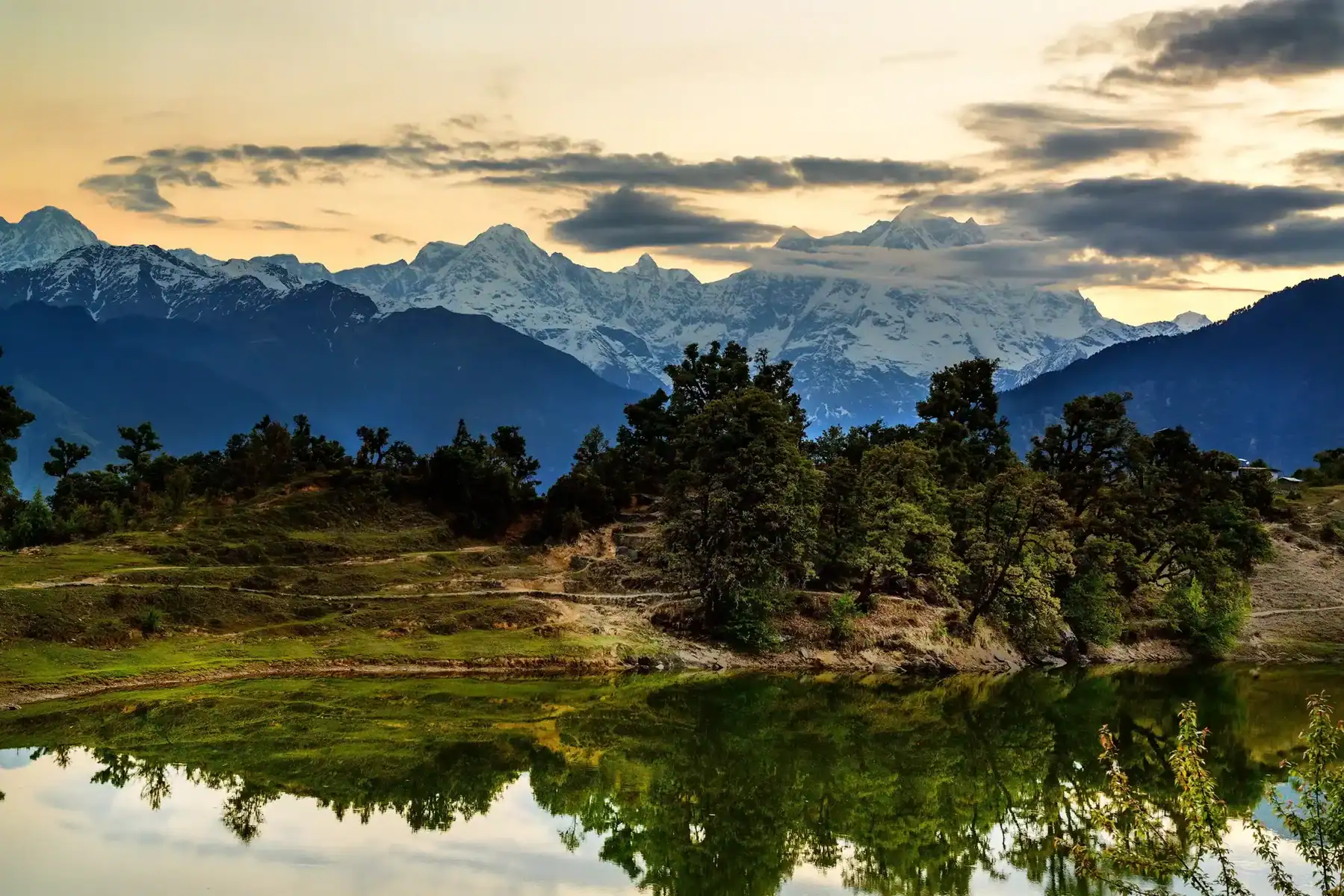
The Sarchu Circuit Trek is not for those weak of heart; it requires high levels of fitness and self-reliance, taking you through some of the Indian Himalayas’ most beautiful landscapes. Here is an organized and summarized version of its itinerary with key information to help prepare and anticipate this adventure.
The Sarchu Circuit Trek is an epic two-week wilderness trek designed to test your endurance and strength as you traverse streams, negotiate canyons at high altitudes, and navigate remote canyons. Only a select few trekkers visit annually due to limited facilities being available along its path; visitors should come prepared and independently as facilities may not always be readily available along this two-day journey through Zanskar and beyond – local people greet visitors along their route with traditional Zansk salutations greetings!
Best Time for Sarchu Circuit Trek
- From June to September
- During these months, the Leh-Manali Highway will be open.
- The weather is stable with sunny skies and comfortable temperatures during the day.
- Avoid Monsoon (July-August):
- Landslides can be caused by heavy rainfall.
- Winter: October-May
- Heavy snowfall has rendered the region inaccessible.
Highlights of Sarchu Circuit Trek
- Phugtal Monastery: An amazing monastery located on the edge of a cliff. Accessible via a steep path. The cultural and spiritual highlight.
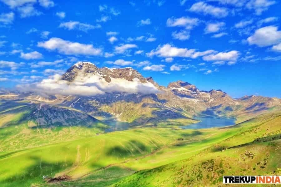
- Lingti River & Plains: A remote, tranquil landscape with yaks grazing and traditional Zanskari villages.
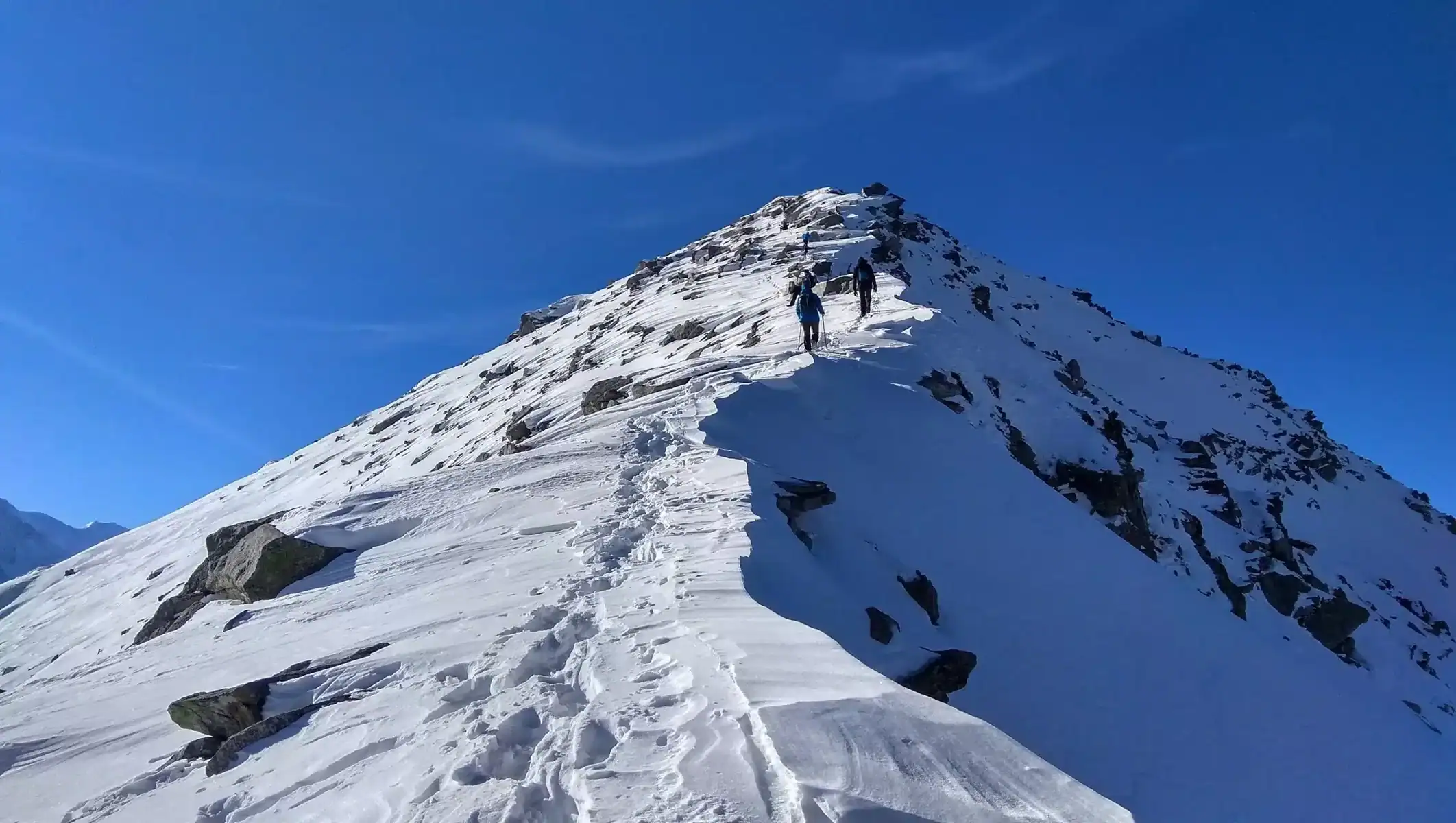
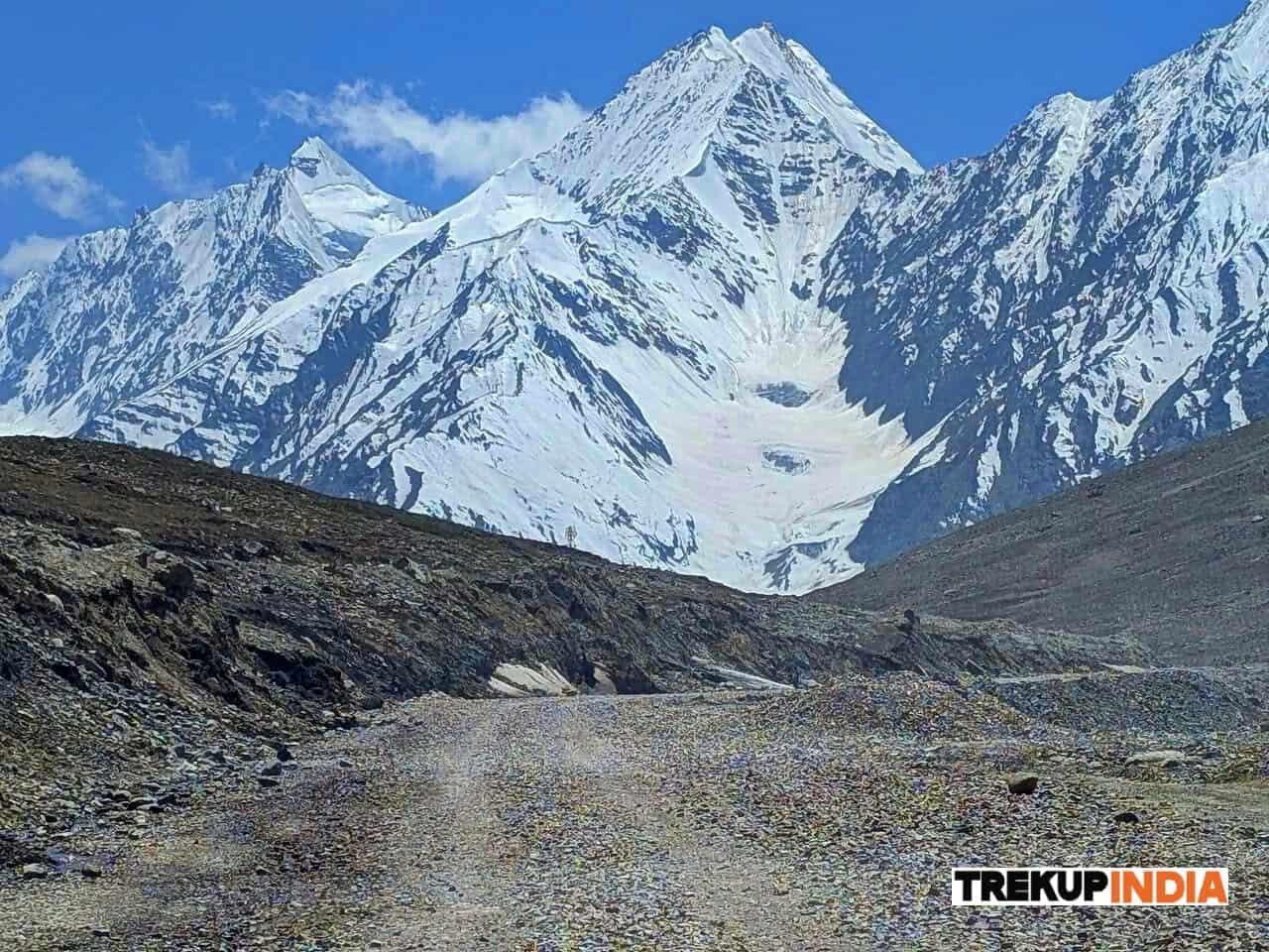
- Phitse La Pass (5254 M): Enjoys the breathtaking view of Zanskar and its hanging glaciers.
- Zanskari Culture: Experience the warmth of local villagers and herders.
- Remote wilderness: This trek will take you to some of the Himalayas’ least explored regions.
Detailed day wise itinerary for Sarchu Circuit Trek
This detailed day wise itinerary is for the Sarchu Circuit Trek. It breaks the trip down into sections, with each day’s key activities, distances and highlights. This itinerary is based on a 14-day trek, including days for acclimatization.
Day 1, Arrival at Keylong Sarai (4510 m)
- Activity: Arrive at Keylong Sarai. This is the start of your trek. Relax and adjust to the high altitude.
- Highlights: Visit the local market and interact with the locals. Prepare for your trek.
- Prepare Check equipment, hire mules or porters if necessary, and pack the essentials.
Day 2: Keylong Sarai to Lingti Plains (4400 M)
- Trek duration: 6 to 7 hours
- Distance: 12 km
- Terrain Gradual ascents, crossings of rivers, and trails with rocky surfaces.
- Highlights:
- Enjoy the stunning view of the Leh-Manali Highway as you follow the Yunam River.
- Camping near Lingti Plains, which is surrounded by traditional Zanskari villages and yaks grazing.
- The locals will welcome you with a traditional cup of tea.
Day 3: Lingti Plains to Bank of Lingti River
- Trek duration: 5- 6 hours
- Distance: 10 km
- Terrain: river crossings, rocky paths, and gradual climbs.
- Highlights:
- The Lingti River is a challenging but rewarding journey.
- Camp by the river with a breathtaking view of the mountains.
- Learn about the local way of living by interacting with shepherds.
Day 4: Bank of Lingti River to Chumik Marpo (4750 M)
- Trek duration: 6 to 7 hours
- Distance: 14 km
- Terrain: steep ascents and rocky trails. High-altitude passes.
- Highlights:
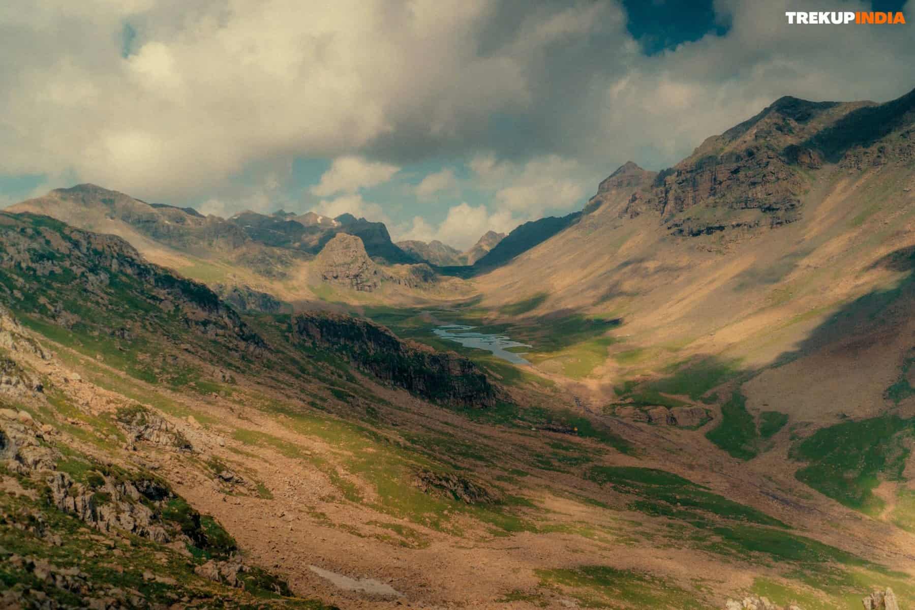
- The Lingti Chu River takes you through narrow canyons and breathtaking valleys.
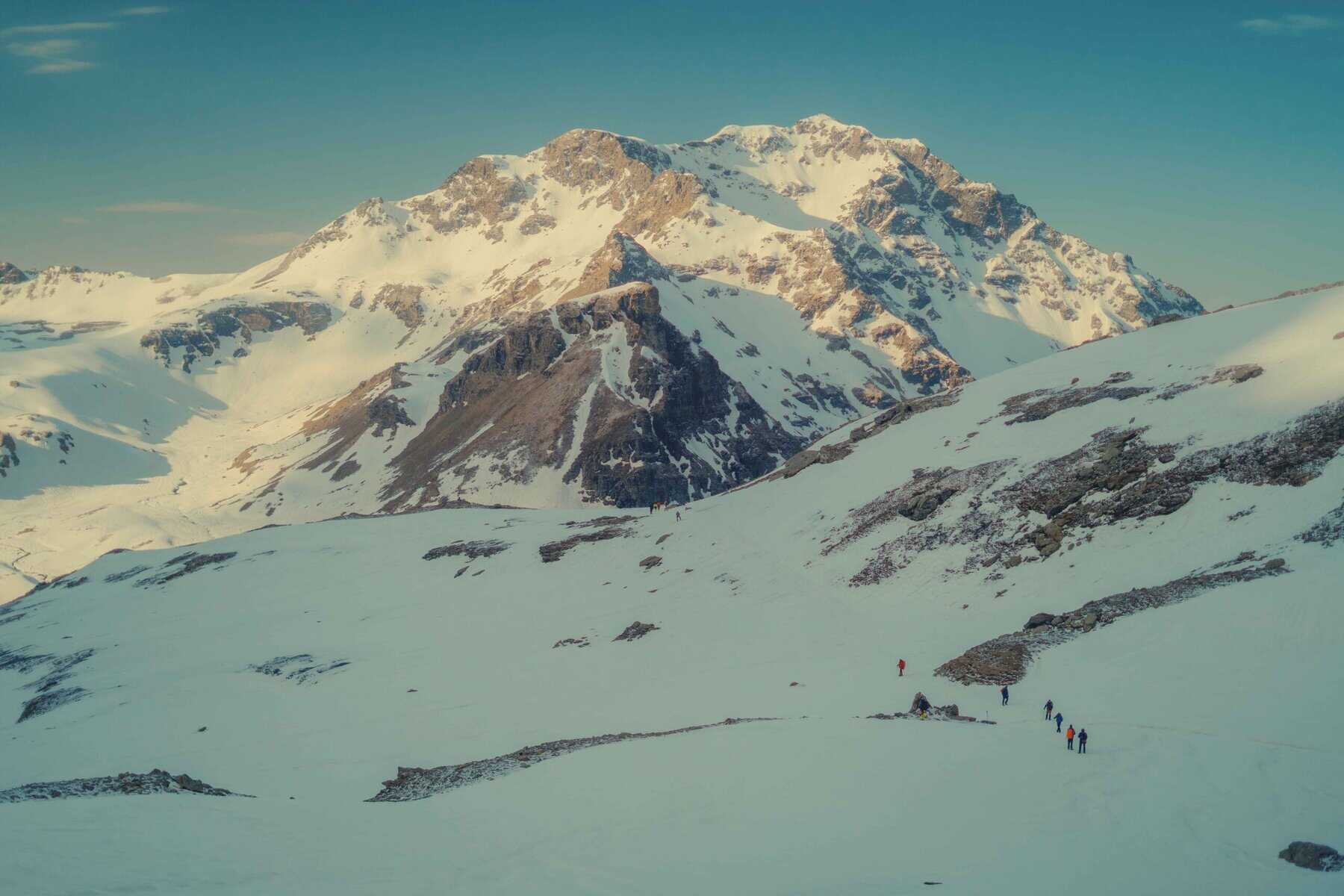
- Chumik Marpo is a campsite at a high altitude with panoramic views over the Zanskar mountain range.
- Rest and prepare for tomorrow’s tasks.
Day 5: Chumik Marpo to Zingchen (4480 M) via Phitse La (5250 M)
- Trek duration: 8-9 Hours
- Distance: 18 km
- Terrain: A steep ascent up to Phitse La Pass followed by a steep descent.
- Highlights:
- Cross Phitse la Pass (5250 M), decorated with colourful prayer banners.
- Take in the breathtaking view of snow-capped mountains and glaciers.
- Zingchen is a tranquil campsite on the Phitse Chu River.
Day 6: Zingchen to Purne/Khangsar (~3700 M)
- Trek duration: 8 to 9 hours
- Distance 20 km
- Terrain: A gradual descent, river crossings and rocky trails.
- Highlights:
- Explore the beautiful Tsarap River Valley.
- Visit traditional Zanskari villages like Tanze or Yal.
- Purne/Khangsar is a popular campsite near Phugtal Monastery.
Day 7: Rest Day in Purne/Khangsar
- Activity: Relax and explore your surroundings.
- Highlights:
- The iconic Phugtal Monastery is perched high on a hill overlooking the Tsarap River.
- Learn about Buddhism and interact with the monks.
- Enjoy the tranquillity of the landscape by exploring the nearby trails.
Day 8: Purne/Khangsar to Tantak/Base of Kontse La
- Trek duration: 6 to 7 hours
- Distance: 15km
- Terrain: steep ascents and narrow trails.
- Highlights:
- Explore the Tsarap River Valley.
- Enjoy the stunning view of the Zanskar mountain range as you pass through villages.
- Prepare for your high-altitude trek by camping at the foot of Kontse La.
Day 9: Tantak to Niala Kontse La (5100 M) and Gotund La (5250 M)
- Trek duration: 8-9 Hours
- Distance 18 km
- Terrain: steep ascents and descends, high altitude passes.
- Highlights:
- Niala Kontse La (Nord) and Gotund La (Southeast) are two of the most challenging mountains in Europe.
- Take in the panoramic view of Zanskar and its turquoise rivers.
- Camping is available on the opposite side of Gotund La. The area surrounding it has untouched wilderness.
Day 10: Gotund La to Zingchen
- Trek duration: 6 to 7 hours
- Distance: 16km
- Terrain: A gradual descent, crossing rivers and rocky paths.
- Highlights:
- Enjoy a scenic descent through valleys lush with vegetation and Zanskari village traditions.
- Retire to Zingchen and enjoy a restful sleep.
Day 11: Zingchen to Lingti Plains
- Trek duration: 6 to 7 hours
- Distance: 14 km
- Terrain Gradual ascents, crossings of rivers, and trails with rocky surfaces.
- Highlights:
- You can retrace your footsteps through Lingti Chu Valley.
- Enjoy the tranquillity of Lingti Plains by camping there.
Day 12: Lingti Plains to Keylong Sarai
- Trek duration: 6 to 7 hours
- Distance 12 km
- Terrain: A gradual descent, rocky trails, and river crossings.
- Highlights:
- Complete the loop by returning to Keylong Sarai.
- Enjoy the completion of your trek.
Day 13: Buffer Day
- Activity: Use this day to buffer against unexpected delays or explore the surrounding area.
- Highlights:
- Visit the local markets or monasteries.
- Reflect on your trekking experience.
Day 14: Departure
- Activity: Depart Keylong Sarai
- Highlights:
- Enjoy the serenity of Zanskar and its remote region.
How to Reach For Sarchu Circuit Trek
To reach the beginning of the Sarchu Circuit Trek, you will need to plan carefully. Sarchu is located in the Himalayas at a distance from the Leh-Manali Highway. Here is a guide to help you reach Sarchu from cities such as Delhi, Manali and Leh.
1. Start Point: Sarchu
- Location : Sarchu, a high altitude plateau, is located at an elevation of 4,290 meters (14,570 feet)..
- Major Cities Nearest to You
- Manali (Himachal Pradesh) – 222 km (7-8 hours drive).
- Leh (Ladakh) – 240 km (8-9 hours drive).
2. How to Reach Sarchu
Option 2: Delhi via Manali to Sarchu
The most popular route to take for those who want to trek from Delhi is this one.
- Delhi To Manali
- By Road
- Distance: ~540 km.
- Duration: 12-14 hours.
- From ISBT Kashmere gate, Delhi you can take an overnight bus (HRTC or privately operated) from HRTC.
- By Air
- The nearest airport is Bhuntar (Kullu Airport) located 50km from Manali.
- Book in advance to avoid missing out on flights from Delhi.
- by Train
- The nearest railway station is Joginder Nagar Railway Station. It’s 160km from Manali.
- You can also take the train from Delhi to Chandigarh, Ambala or Chandigarh and then get a taxi/bus to Manali.
- By Road
- Manali and Sarchu
- By Road
- Distance: ~222 km.
- Duration: 8 to 9 hours, depending on the road conditions.
- Route: Manali – Rohtang Pass (3,978 m) – Keylong – Baralacha La (4,890 m) – Sarchu.
- You can take a shared taxi from Manali or hire a taxi. You can also drive your own vehicle, as long as it is well-suited for driving at high altitudes.
- Please note that the Leh-Manali Highway only opens from July to September, due to heavy winter snowfall.
- By Road
Option 2: From Delhi to Sarchu via Leh
The route offers a great way to get accustomed to Ladakh and its culture before beginning the trek.
- Delhi to Leh
- By Air
- Direct flights to Leh from Delhi (Kushok-Bakula-Rimpochee Airport).
- Duration: ~1.5 hours.
- Book in advance. Flights can be frequent, but expensive.
- By Road
- Distance: ~1,025 km.
- Duration: 2 to 3 days, with overnight stays in Srinagar and Kargil.
- Route: Delhi – Srinagar – Kargil – Leh.
- From Delhi, you can take buses and taxis that are shared.
- By Air
- From Leh to Sarchu
- By Road
- Distance: ~240 km.
- Duration: 8-9 hours.
- Route: Leh – Upshi – Tanglang La (5,328 m) – Debring – Sarchu.
- Take a shared Jeep or a Taxi from Leh.
- By Road
3. Important Tips for Reaching Sarchu
- Permits:
- Sarchu is open to all Indian citizens.
- If you plan to go beyond Manali and Leh, you may require an Inner Line Permit. Verify the most recent regulations.
- Road Condition
- Leh-Manali Highway has steep climbs, sharp corners, and passes at high altitudes.
- Roads can be blocked by landslides or snow, particularly during the monsoon season and early summer.
- Altitude Sickness:
- Sarchu has a very high elevation (4,290m). Acclimatize in Manali or Leh for a day before you continue.
- Avoid overexertion and stay hydrated.
- Transport Option
- Shared Jeeps – Economical, but crowded.
- Private taxis : comfortable but costly
- Self Drive is only recommended for drivers who have high-altitude experience.
Tips and Preparation
Fitness
- Increase your cardiovascular endurance by jogging or cycling.
- Squats and planks will strengthen your legs and core.
- Carry a heavy backpack when you go on long walks.
Packing Essentials:
- Clothing Layered clothing to suit a variety of temperatures. Waterproof jackets and thermal clothing are also available.
- Gear : Durable trekking boots, poles for trekking, a headlamp and a stove that is reliable.
- Food : high-energy snacks and dry fruits.
- Other : Water purification tablets and first-aid kit.
Altitude Acclimatization:
- Avoid altitude sickness by ascending gradually.
- Rest and stay hydrated.
Navigation:
- Take detailed maps with you, as well as a GPS and a compass.
- Get familiar with landmarks and the route.
Safety:
- If you are not experienced in trekking in the wilderness, travel with a group or guide.
- Tell someone your travel plans and the date you expect to return.
Packing Essentials for the Journey
- Clothing : Thermal wear, gloves, jackets, thermal layers and waterproof clothing.
- Accessories : sunglasses, sunscreen, hiking shoes, and hats.
- Health : Diamox for altitude sickness, first aid kit and water purification tablet.
- Documents : Identification proof (ID), permits, and contact information in case of emergency.
Dates For Upcoming Treks
Want To Trek Like Pro?
Basically, watch these videos if you want to trek the same way professional trekkers do and make your skills better. These videos contain useful tips and techniques to further improve your trekking skills itself. These videos actually help both new and experienced trekkers improve their trekking skills. These videos definitely provide useful tips that make your trek better. We are seeing that these videos by Trekup India experts will only help you make your trekking skills better.


Know Everything About Acute Mountain Sickness
Acute Mountain Sickness occurs when people trek to high altitudes above 8,000 feet. This condition itself develops further due to reduced oxygen levels at such heights. Basically, as you go higher up, the air pressure and oxygen levels decrease, which causes the same problem. Acute Mountain Sickness surely causes headache, nausea, vomiting, and dizziness in affected persons. Moreover, peoples also experience difficulty in sleeping during this condition. To avoid mountain sickness, you should actually trek up slowly to higher altitudes. To learn further about this condition itself, watch the videos by Trekup India.
