Rumtse to Tso Moriri Trek: A Trek Through Ladakh's Untamed Beauty
Rumtse to Tso Moriri Trek
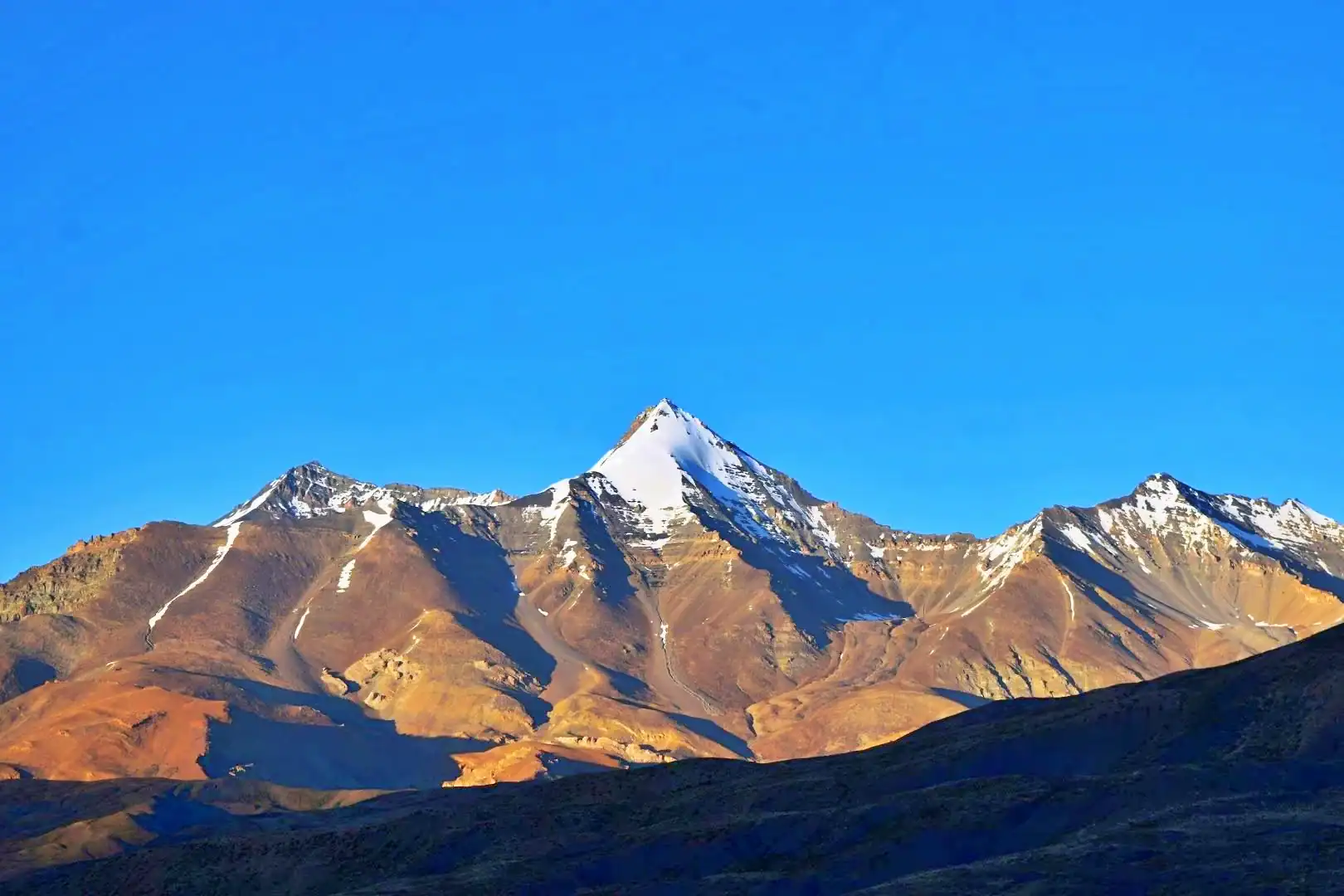
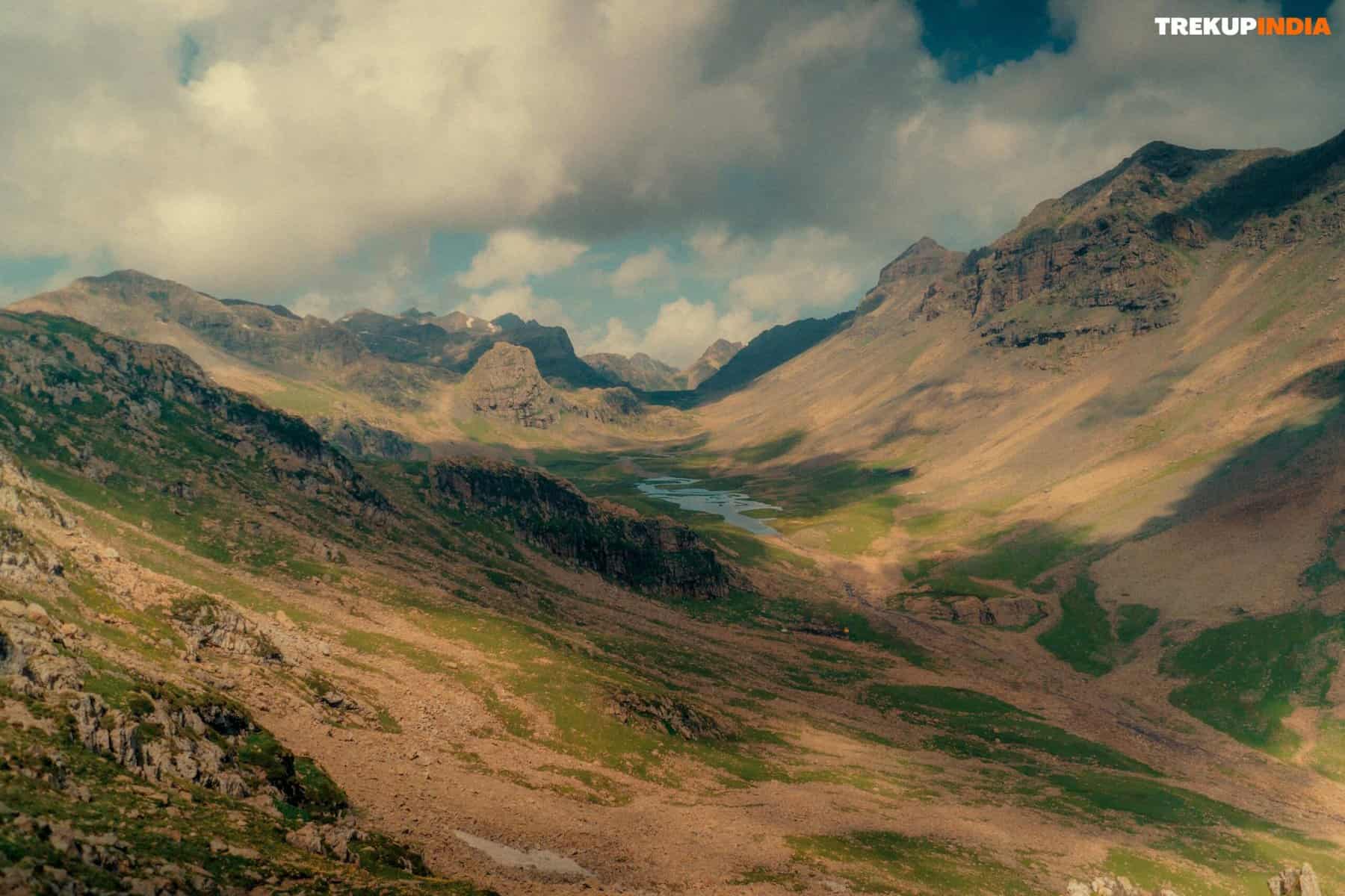
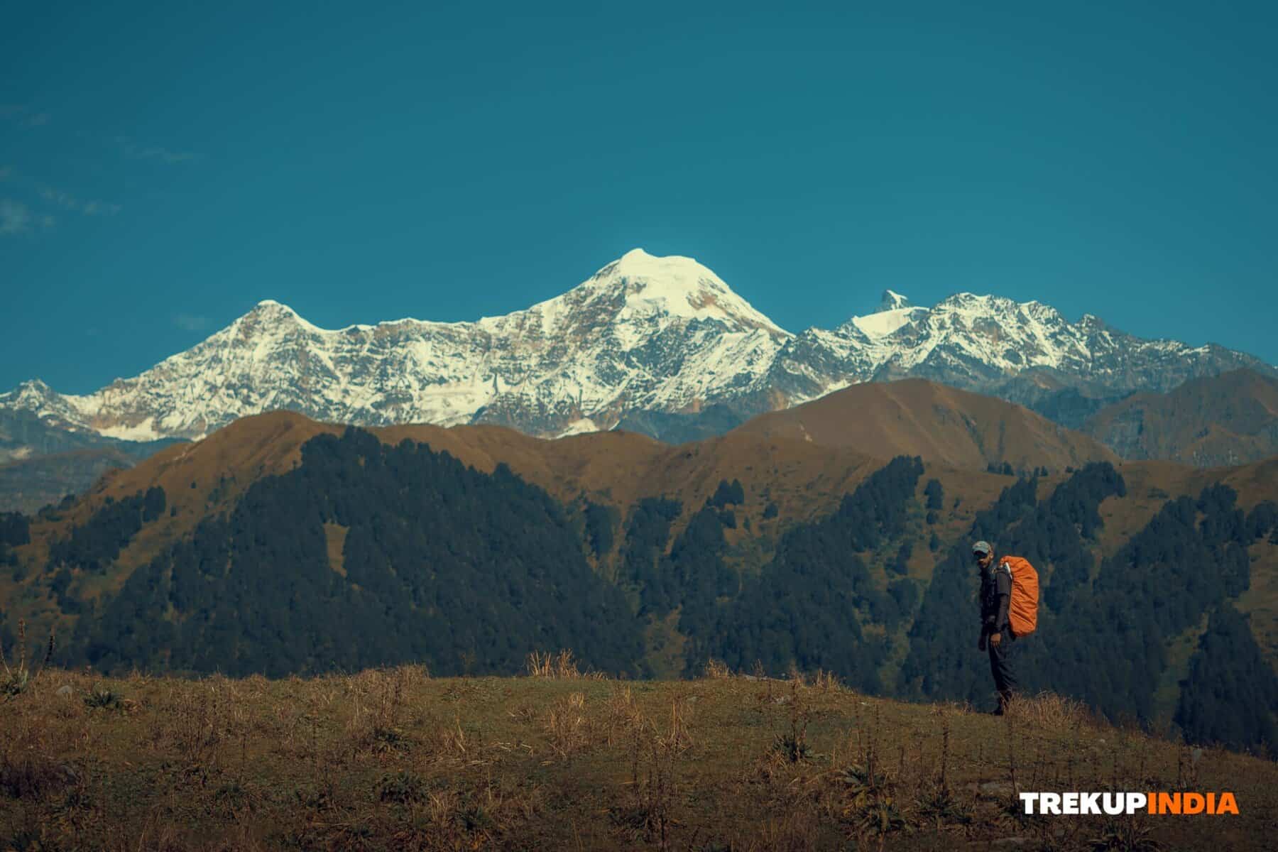
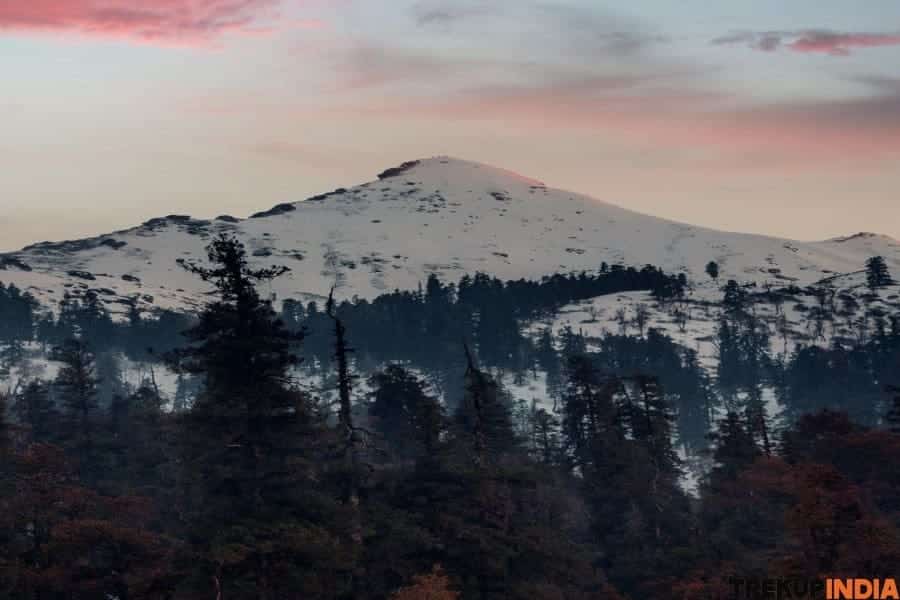
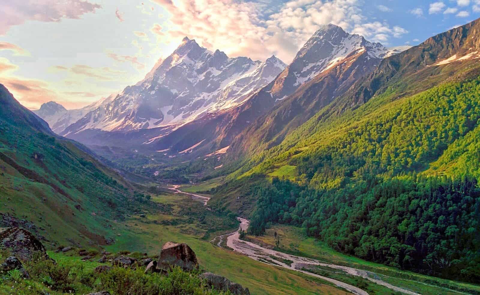
The Rumtse to Tso Moriri trek is one of the best stunning and remote routes, offering an unforgettable experience for adventure-seeking trekkers. The breathtaking trek takes trekkers through the unspoiled Changthang Valley, home to expansive landscapes, alpine lakes, mountains with rugged passes and a wide variety of species of wildlife. The trek’s ever-changing scenery is ideal for those who love nature and those who seek solitude in the Himalayas.
The strenuous trek stretches 100 km and traverses seven mountain passes with high altitudes–each at a height of more than five thousand metres (16,400 feet)–and passes through three beautiful lake oligotrophic. In contrast to the popular Markha Valley trek , This trek is not just breathtaking splendour, but also an enviable sensation of being in the distance, making the trek a test of endurance and resiliency.
A Trek of Contrasts and Challenges
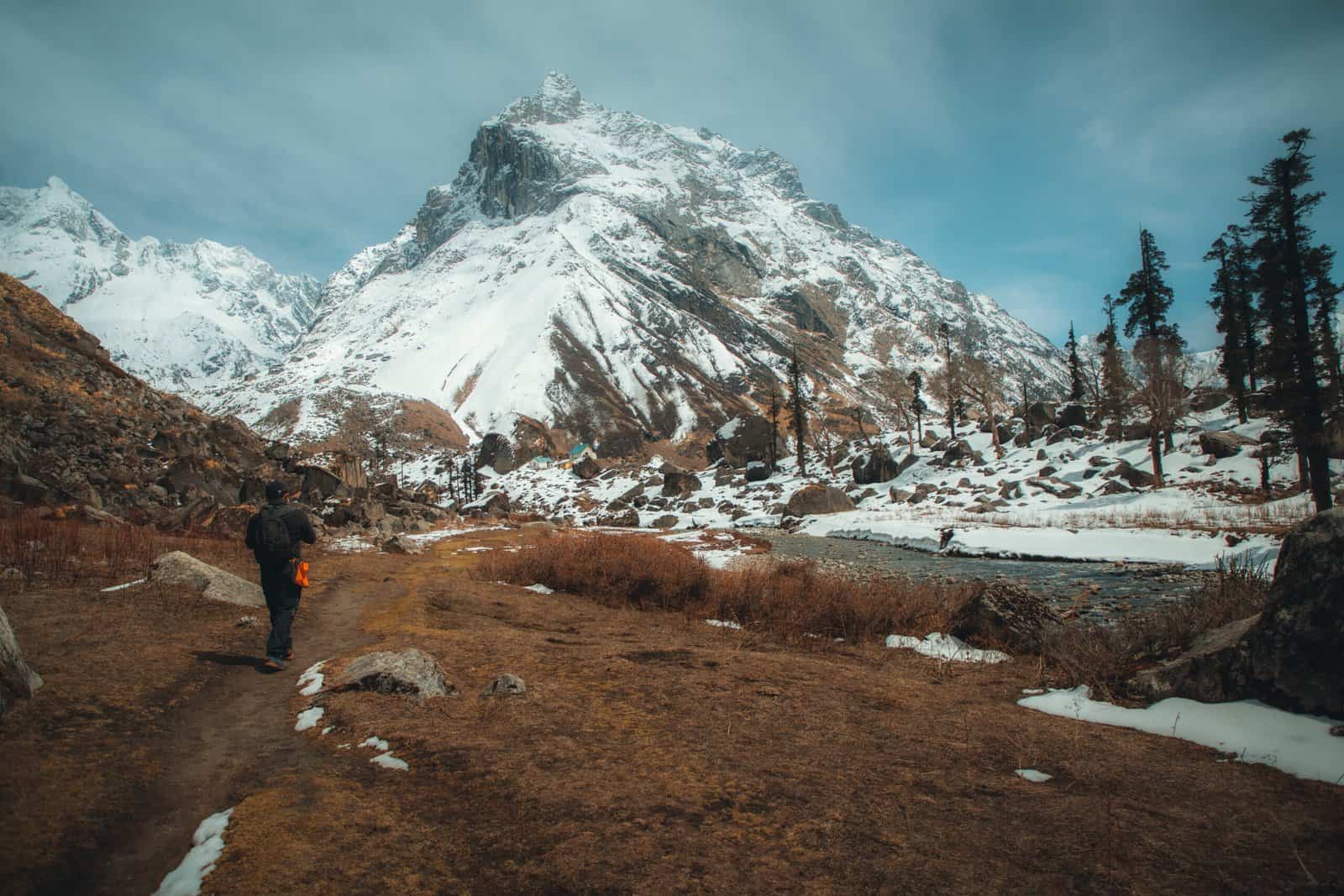
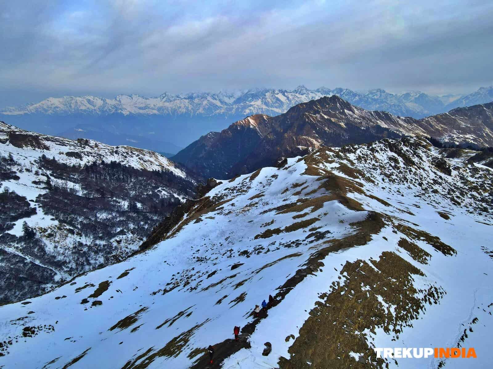
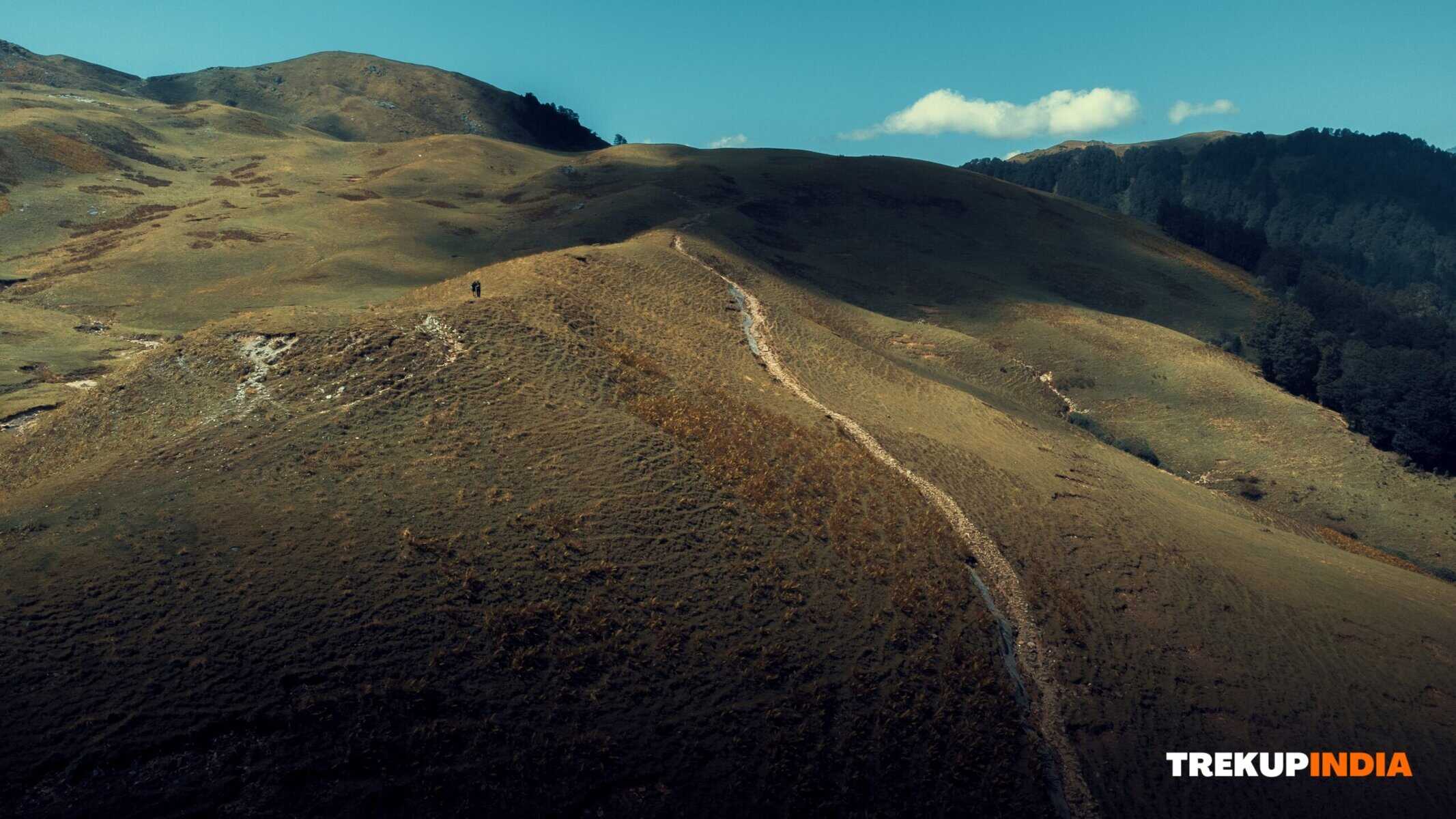
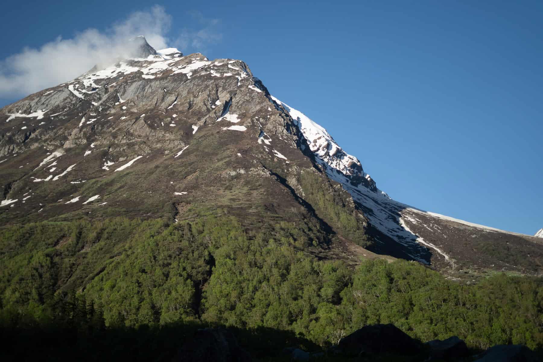
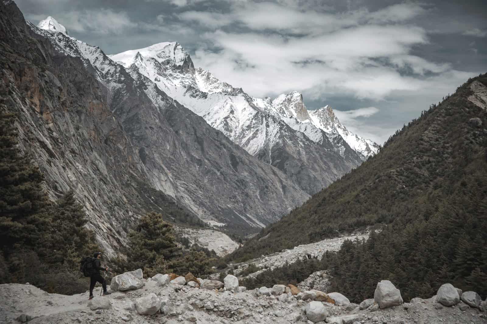
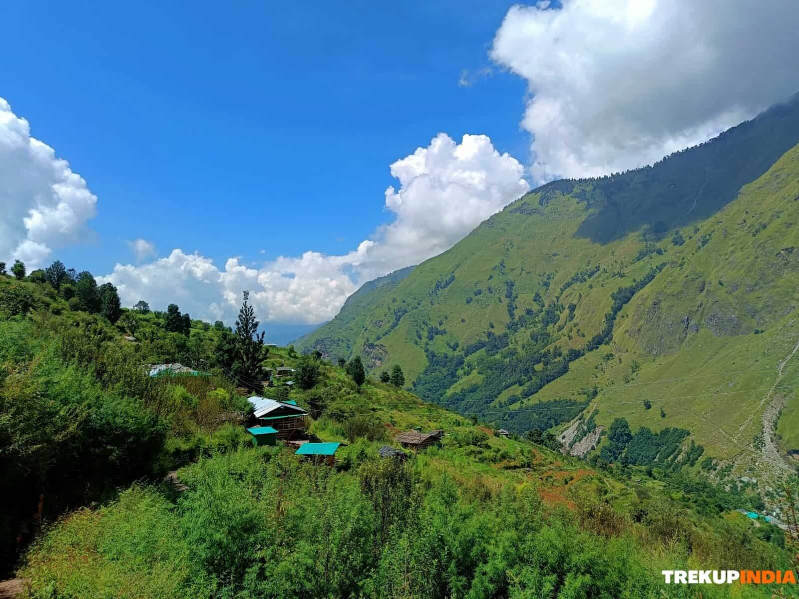
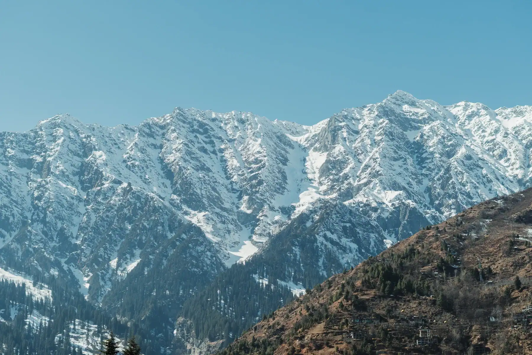
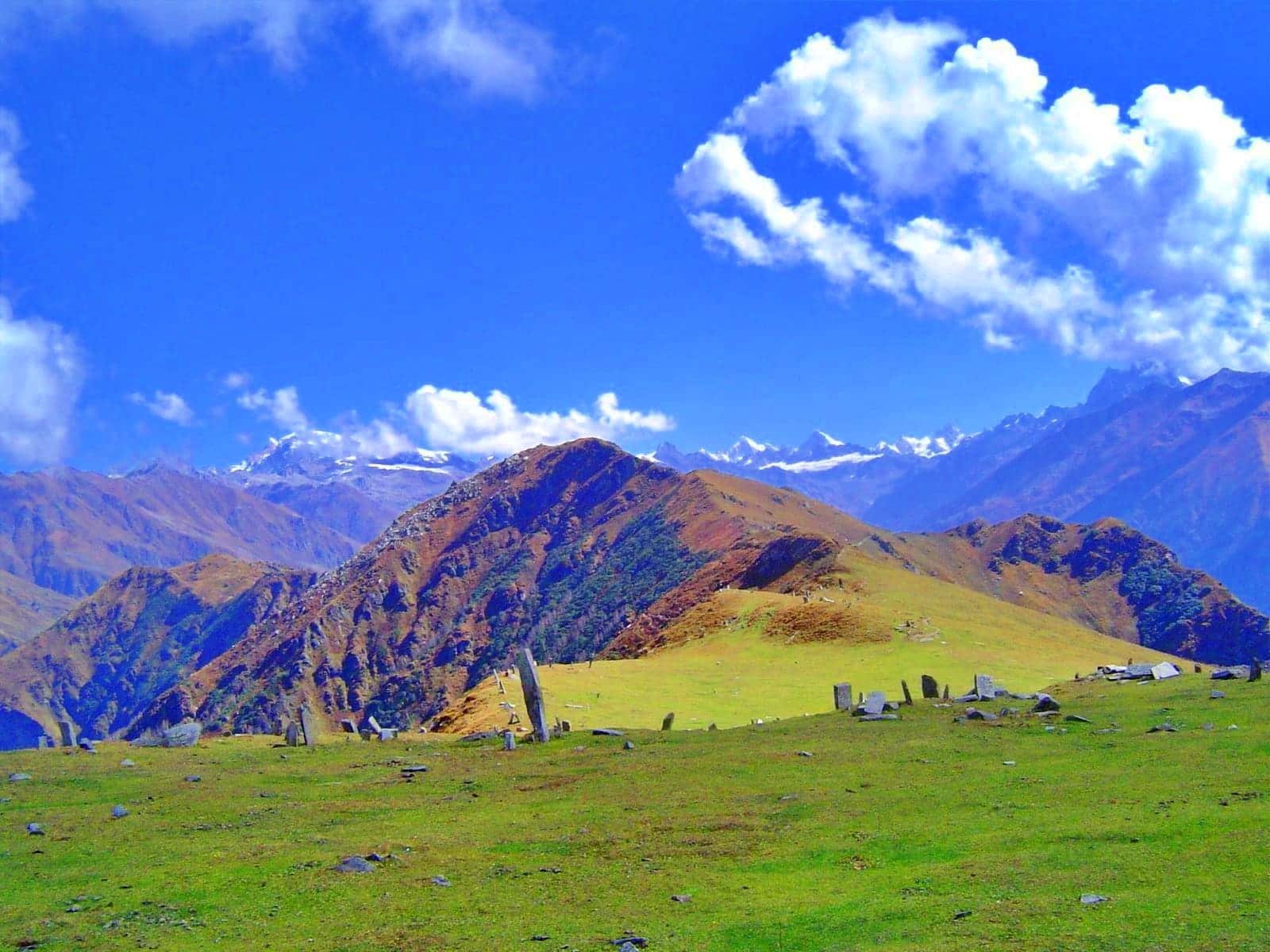
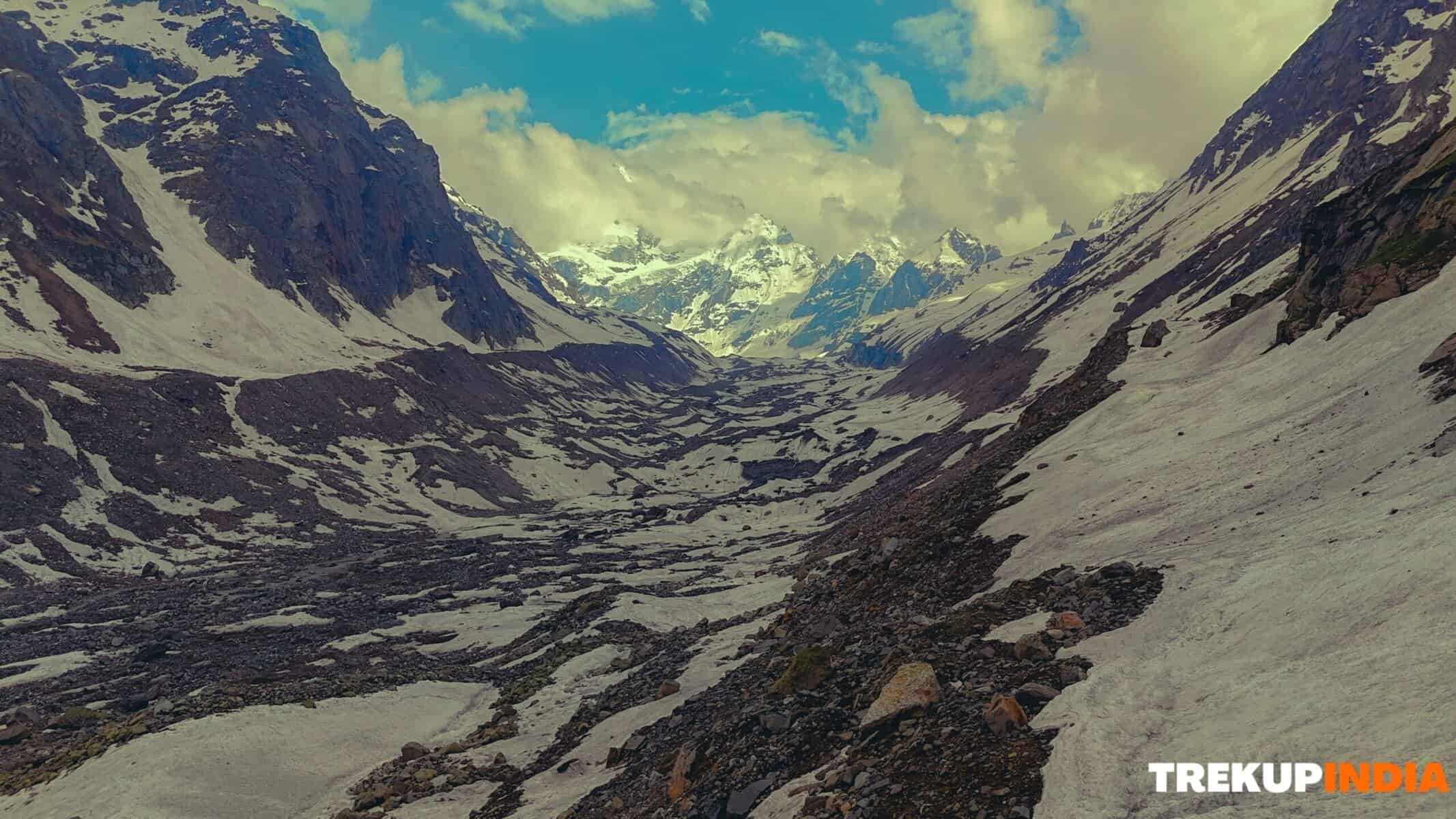
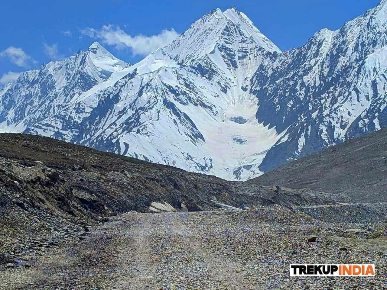
The hike between Rumtse to Tso-Moriri is strenuous, with high ascents and sharp drops along with long, tiring days in high-altitude hiking. The terrain changes constantly between mountains covered in snow and lush green meadows, vast open valleys, and barren plains, making every move a fresh experience.
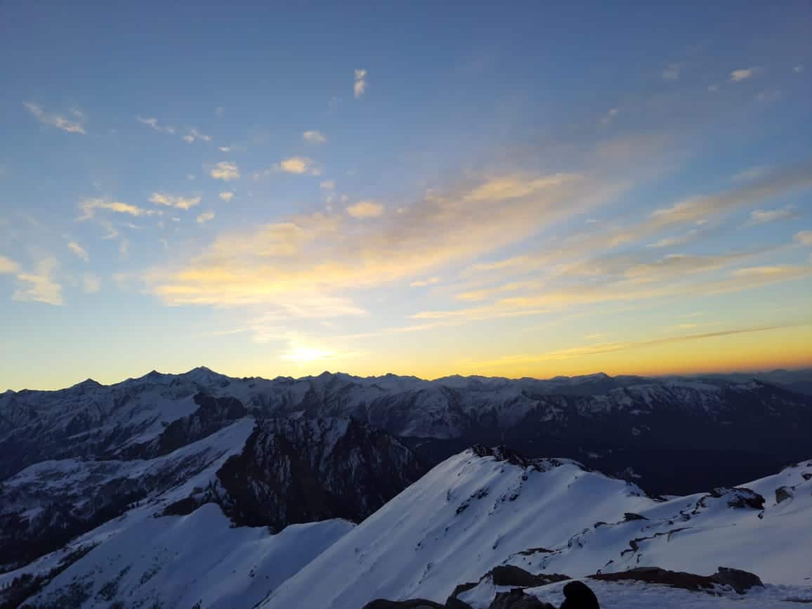
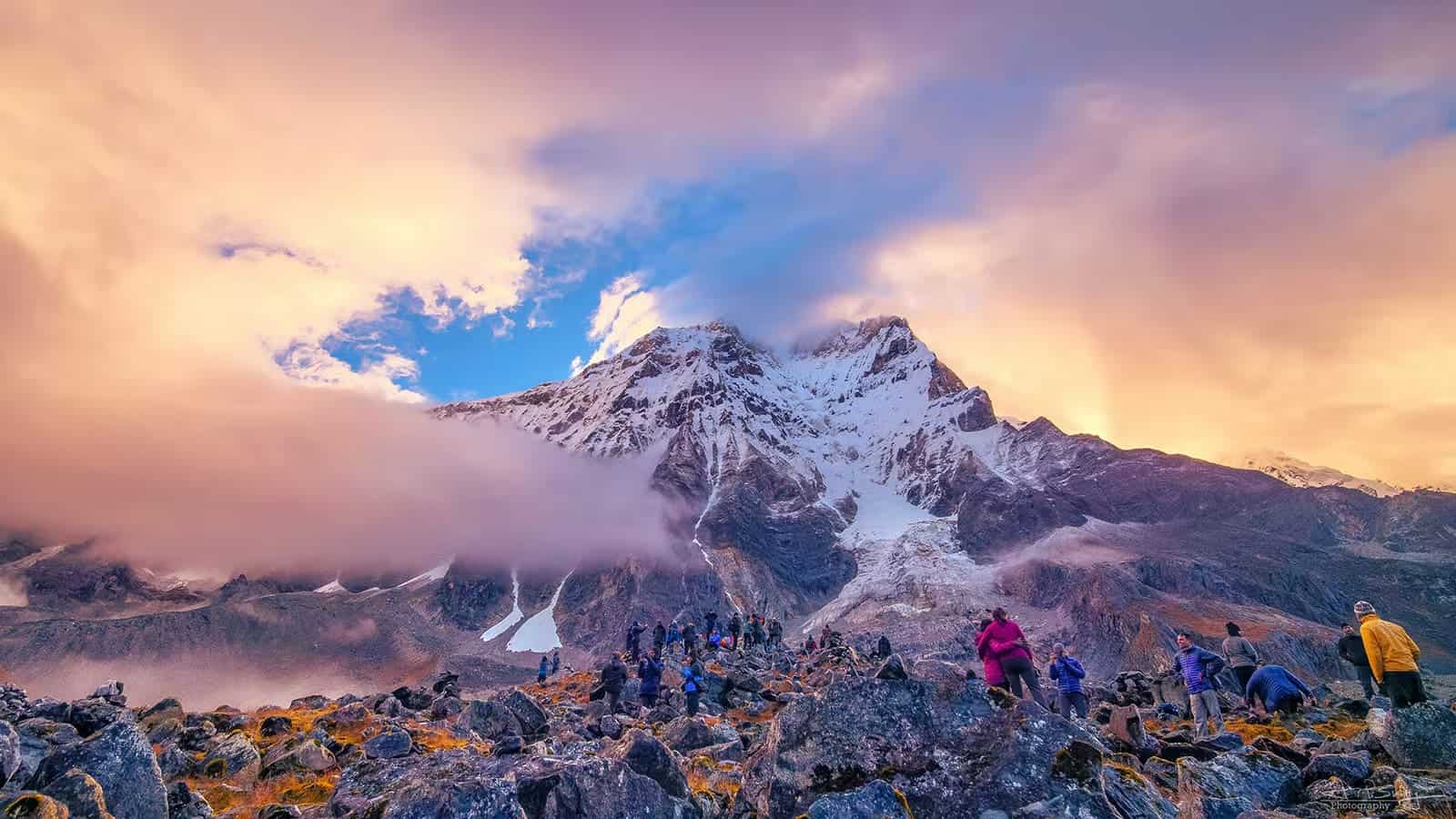
Every campsite along the way offers stunning breathtaking perspectives of the majestic mountains, the deep valleys, as well as streams that flow through glaciers. The feeling of reaching a campsite after an exhausting day is one of pure satisfaction–surrounded by nature’s beauty, under the vast Himalayan sky.
Wildlife and Nomadic Culture
Changthang isn’t just an area for landscapes, it also houses uncommon and difficult to find species of wildlife. Travelers may see Blue Sheep as well as Wild Tibetan Asses (Kiang), as well as Marmots. If luck is with you it is possible to catch glimpses of the legendary Snow Leopard, one of the most iconic animals in the Himalayas.
This region also is where you can find the Changpa nomadic people who are known as the home of their Pashmina goats as well as Yak traditional herding practices. The traditional way of life they live is deeply tied to the land gives a glimpse of an unspoiled world that is not influenced by the modern world.
A Trek for All Seasons
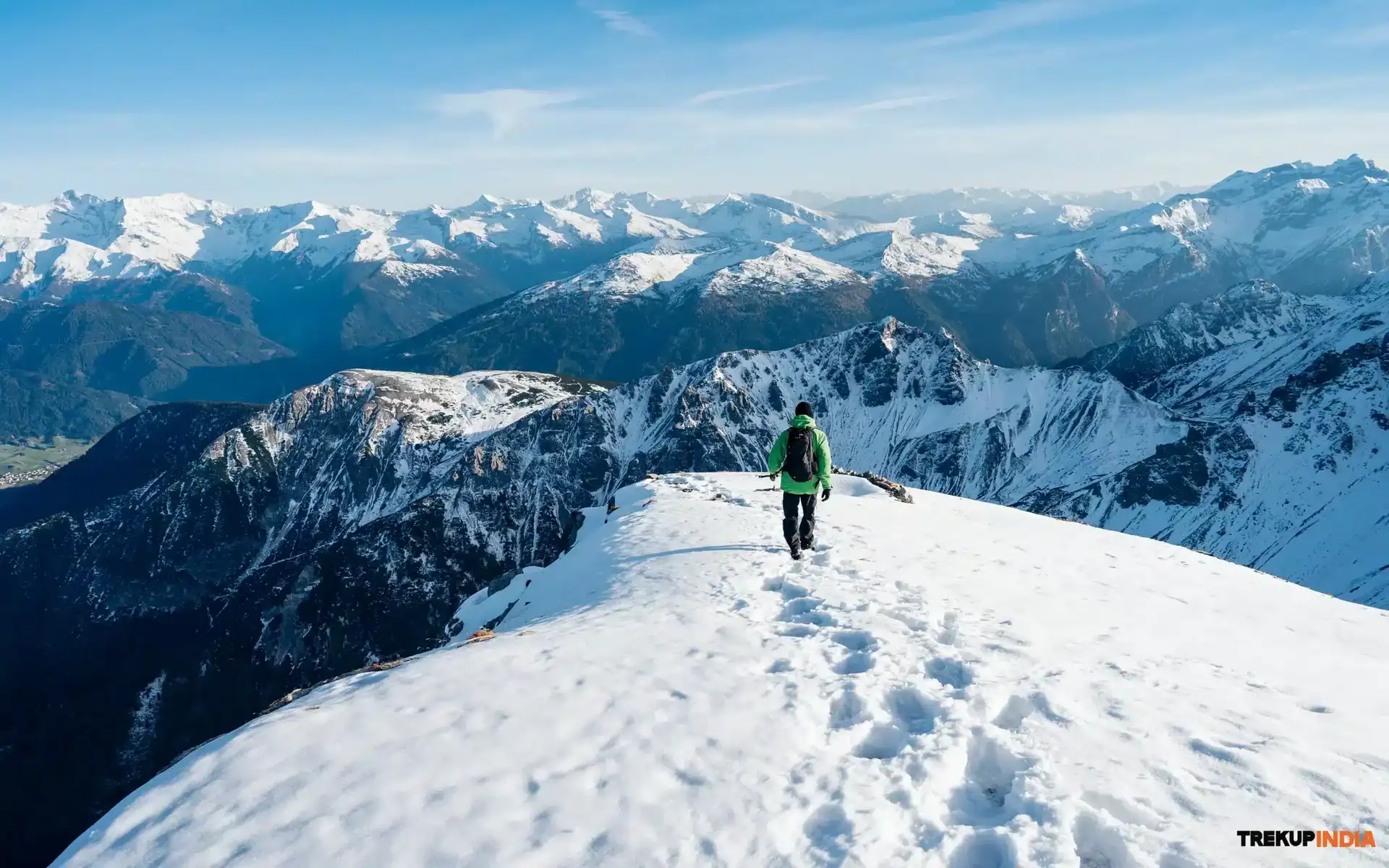
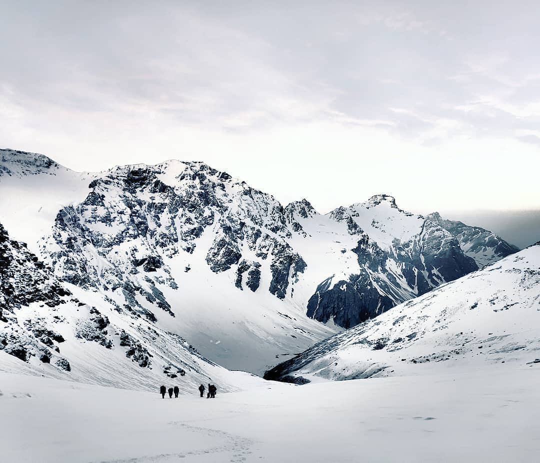
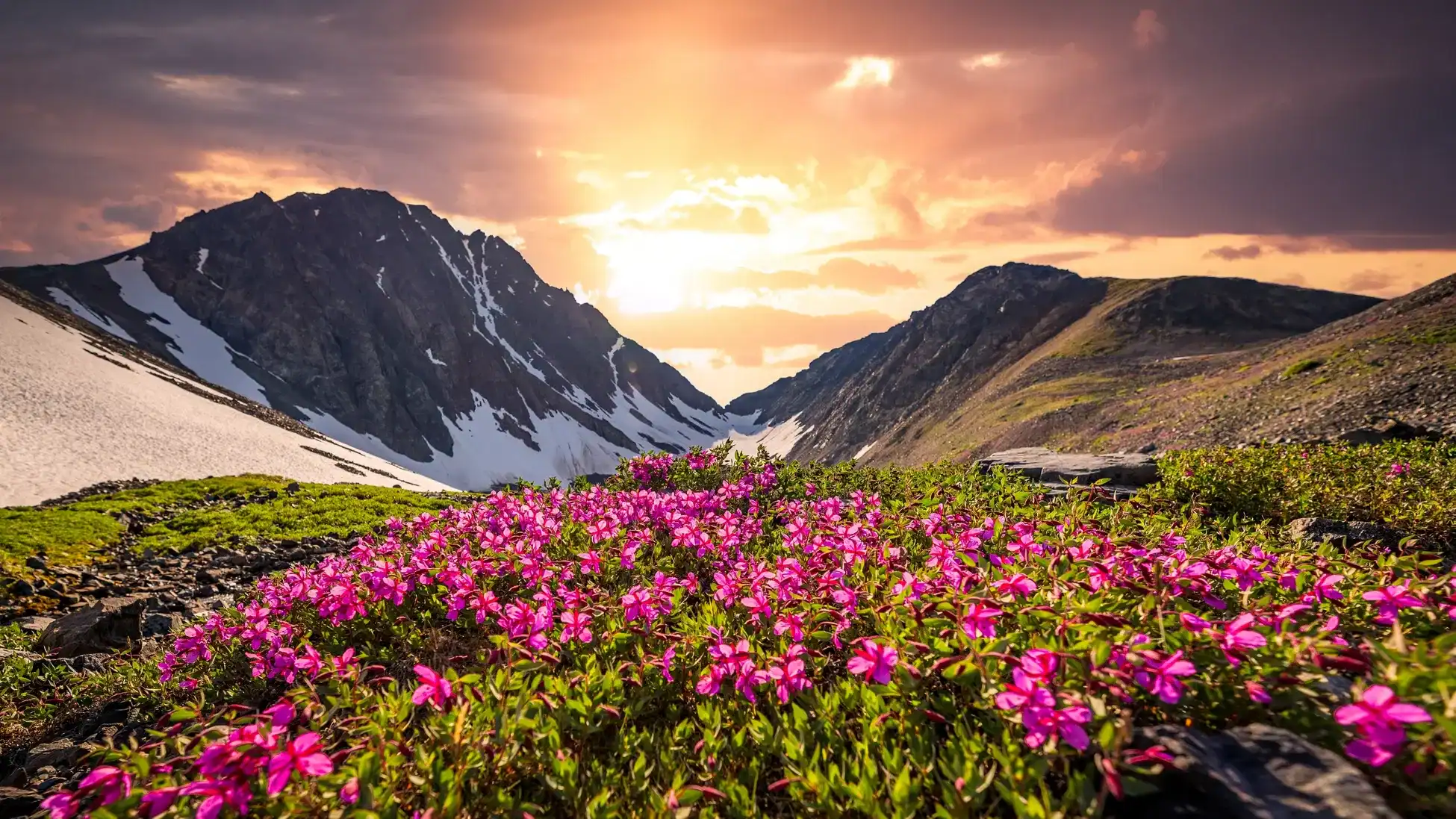
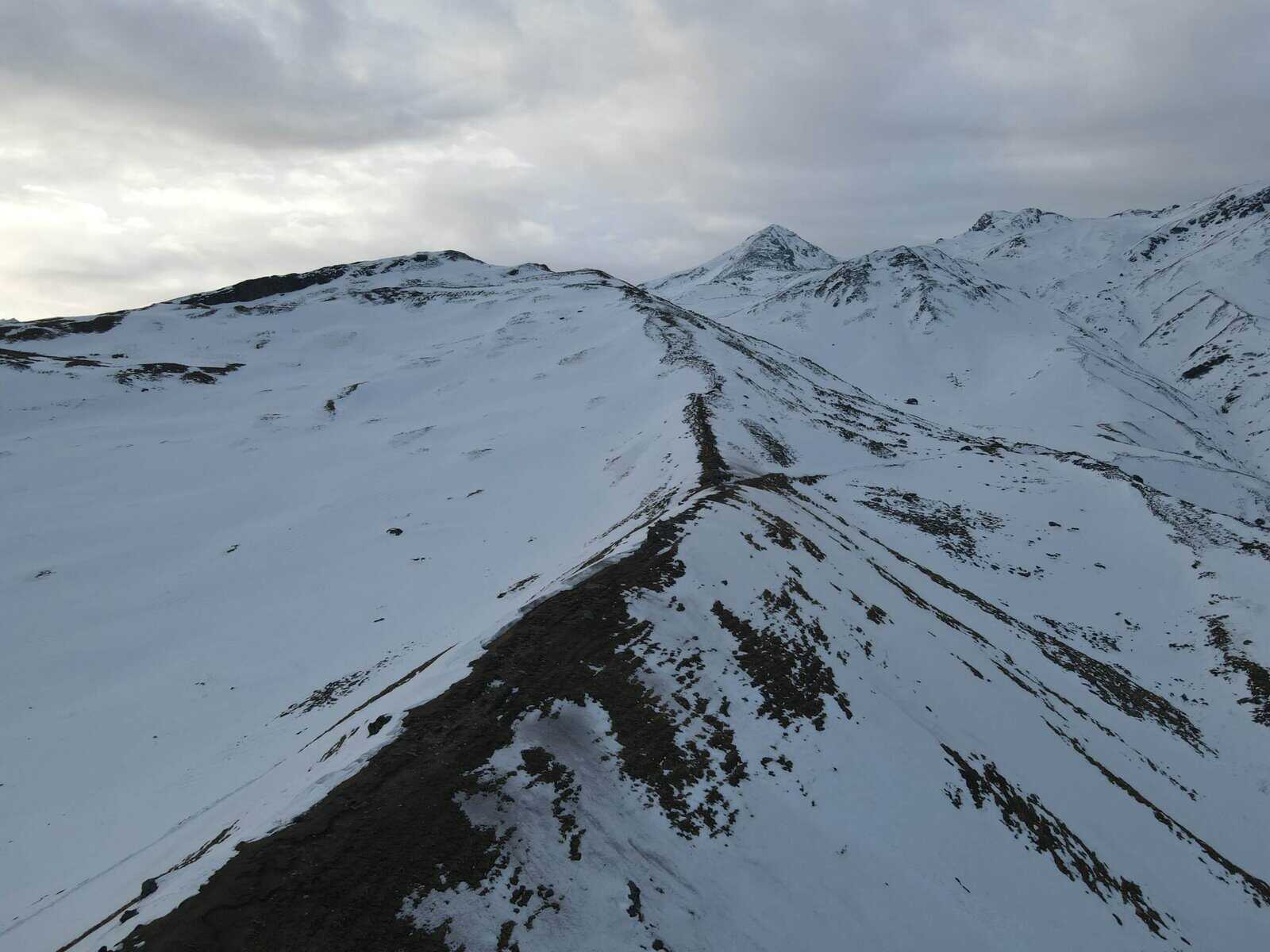
In contrast to other Himalayan trekking routes that should be completed in the summer months for example, the the Rumtse-to Tso Moriri trek showcases all four seasons–from blossoming alpine blooms in spring to golden brown valleys in the autumn, and snow-covered landscapes during winter.
Why Choose This Trek?
To those who want to go beyond the standard Ladakh trekking, this trek can be an wonderful mixture of difficulty, beauty as well as solitude. It doesn’t matter if it’s the mountains as well as the stark and captivating scenery, or the abundant nature it’s the Rumtse To Tso Moriri journey will be an unforgettable memorable experience that you will remember for the rest of your life.
Best Time for Rumtse to Tso Moriri Trek
- June to September (best weather conditions)
- Avoid winter months due to extreme cold and snow-covered passes.
Highlights of Rumtse to Tso Moriri Trek
The Camping Grounds of Rachungkharu
The camping areas in Tisaling, Kyamar, and Rachungkharu are some of the most stunning in the Rumtse to Tso Moriri trek, providing a striking contrast between beautiful meadows with lush greenery as well as rough mountain terrain. Of these, Rachungkharu stands apart as a unique location, as it is the home of the sole Changpa nomad settlement that is used in the season of summer.
Trekkers have an opportunity to be able to interact with people from the Changpa people who are a nomadic Tibetan group known for their long-standing traditions. Since the beginning of time, they’ve taken care of herds of yaks as well as Pashmina goats traveling in a seasonal fashion from Ladakh as well as Lhasa. In the present their presence on this trail adds an unique depth to the journey and provides a peek into the way of life that is unchanged through generations.
The Lakes of Tso Kar and Tso Moriri
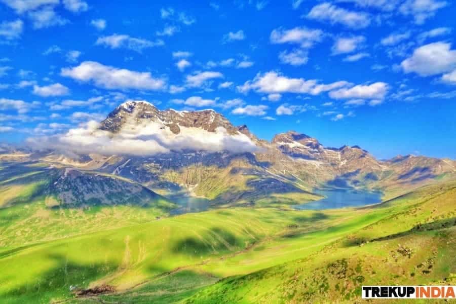
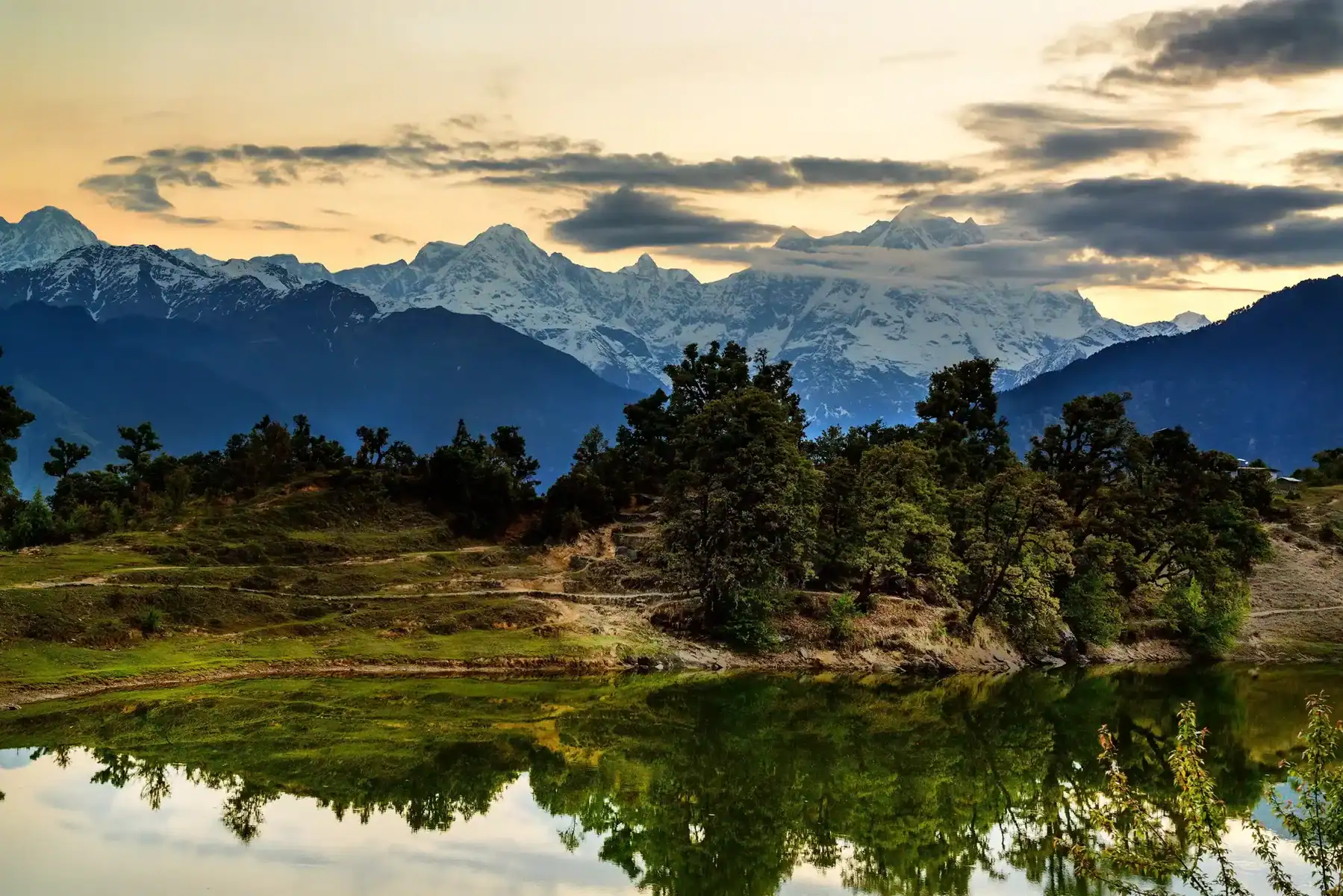
As you travel across Shibuk La Pass and seeing Tso Kar Lake is a welcome break with its sparkling lakes encased in a barren terrain. However, it’s The Tso Moriri that makes an unforgettable impression.
When you reach Yarlung Nyau La Pass and you are greeted by the the first stunning view of Tso Moriri–a vast, deep blue lake that stretches to the horizon with the remote town in Karzok located on its shores. The stunning beauty of this lake, with its stunning landscape of the golden hued peaks and snow-capped plains stunning and leaves a lasting impression on all travelers.
The Wildlife of the Changthang Plateau
The Changthang Plateau is an absolute paradise for nature lovers and birdwatchers. The area is home to endangered and rare species and offers the chance to see:
- Finches as well as Horned Larks, filling the air with their soothing tunes.
- The Bar-Headed Goose, known for its records-breaking flights at high altitude.
- Himalayan wildlife, including Kiang (Tibetan wild ass), Blue Sheep, Marmots, and Himalayan Ibex.
If you’re truly lucky you may have the possibility to see the mysterious Snow Leopard, the ghost of the Himalayas and blending effortlessly into the rocky cliffs of Changthang.
The unique combination of beautiful landscapes, exotic experiences in the arts, and breathtaking wild life make the Tso Moriri to Rumtse trekking trip one among the most memorable experiences of Ladakh.
Rumtse to Tso Moriri Trek - Detailed Itinerary
Day 1: Driving From Leh up to Rumtse (Acclimatization to Rumtse)
Altitude: between 11,560 and 13,770 feet
Distance: 79 km
The Travel time is 3 hours
To reduce the chance of suffering from altitude sickness, it is suggested to get to Rumtse a minimum of two hours prior to starting the hike so that your body has time to adjust to the changes in elevation. While travelling between Leh and Rumtse could be an option, the speed of ascent can increase the likelihood of getting altitude-related illness.
Rumtse is a small town situated along the Leh Manali highway. It is accessible via the bus heading to Manali and Keylong Keylong, with a travelling time of 2 to 3 hours.
Accommodation Options:
- Camping at sites that are designated
- Dhabas, homestays, and Homestays (~Rs 500/night)
- Locally-run lodge (~Rs 350/night per room)
Day 2: Rumtse to Kyamar
Height Gain 13.770 to 15,010 feet
Distance: Approx. 6 km
Duration of the Trek: 4-5 hours
The hike begins with a brief descent on the Leh-Manali Highway, which is followed by turning left onto the trail close to the Jammu & Kashmir Tourism Lodge. The trail follows the Chhaba Chu stream and then crosses a bridge made of steel. Bridge. The path winds through the lush lush marshlands before transforming into a rugged terrain.
The final section towards Kyamar is a gentle climb, passing through small creeks as well as winding through a valley with spectacular formations of rock. You can camp near a river that is clean and tranquil overnight.
Day 3: Kyamar – Kyamar La – Mandachalan La – Tisaling
elevation gain: 1510-16200 feet
Distance: 15 km
Time of Trek: 8-9 hours
The day begins by climbing toward Kyamar La (16,200 ft), passing through the Tassa Phu riverbed. This climb is breathtaking, with spectacular panoramas and prayer flags to mark the passage. Follow the trail to Mandachalan La (15,750 ft) before descending into the Tisaling valley, in which you’ll be camping amid vast alpine meadows.
Day 4: Tisaling – Shibuk La – Pongunagu (Tso Kar Campsite)
Elevation Variation: 16500-17370 feet (ascent) up to 15.500 feet (descent)
Distance: 15 km
Time of Trek: 6-7 hours
Be sure to start early to avoid the daytime scorching heat. The climb from Shibuk La Pass (17,370 feet) is gradual but difficult. From there, climb towards the breathtaking Tso Kar Lake Basin , where huge amounts of water come into view. Pongunagu Campsite is situated near the lake, and provides an amazing sunset.
The nearby Thugje Village (3 km) is home to the benefit of a satellite telephone in the event of an emergency.
Day 5: Pongunagu to Nuruchen
Elevation Variation: 15,050 to 15,310 feet
Distance: 16 km
Trek Time: 6-7 hours
Then, follow following the right bank along Tso Kar Lake, taking an jeep trail with excellent chances to see Black-Necked Cranes and Brahminy Ducks. It’s a relatively simple walk to complete, with a few Changpa settlements of nomads as well as tea stalls before arriving at Nuruchen village, which is an annual village that offers stunning panoramic views of the Zanskar range.
Day 6: Nuruchen – Horlam La – Rachungkharu
Elevation Gain 15310-16300 feet
Distance: 9 km
Time of Trek: 3-4 hours
You can cross across the Nuruchen river as you head west towards the Tso Moriri Valley. This section of the Horlam La Pass (16,300 feet) is relatively easy for a hiker, and features a wide path that is suitable for cars. The trail descends into the Spanglung Serpa river basin and traverses the grasslands before arriving at Rachungkharu , a Changpa nomadic village where you’ll be able to camp overnight.
Day 7: Rachungkharu – Kyamayaru La – Gyamar La – Gyamalhoma
elevation gain: 16300-17,780 feet. Descent up to 16,150 feet
Distance: 13 km
Time of Trek: 7-8 hours
Today, you will be traveling through two passes at high altitude:
- Kyamayaru La (17,780 ft) – offers views of Kang Yatse and the Gyam Chu valley.
- Gyamar La (17,450 feet) – marked with vibrant prayer flags, and breathtaking panoramas from the Mentok Mountains.
Ascend to The Gyamar basin and rivers can require careful navigation. You can camp in Gyamalhoma which is which is a popular spot that is frequented by Changpa Yak herders.
Day 8: Gyamalhoma – Yarlung Nyau La – Karzok
Elevation The range is 16900-17840 feet (pass) The descent is 14,900 feet
Distance: 12 km
Trek Time: 6-7 hours
The well-marked trail will take you following the well-marked path through decreasing grasslands as you enter the rocky terrain susceptible to rock slides. Following an climb that is steep you will arrive at Yarlung Nyau La Pass (17,840 feet), where you can catch the first sight at Tso Moriri Lake.
The descent is 3,300 feet via sand-covered trails traversing Karzok Phu’s grasslands until you reach Karzok Village in which you are able to stay in a tent or choose accommodation in a homestay with more amenities..
Day 9: Drive from Karzok to Leh
Elevation Band: 14,900 to 11,560 feet
Distance: 210 km
Journey Time 6-7 hours
Explore the area in the morning. Karzok village as well as Tso Moriri Lake, famous for its clear, crystal-clear water and its the snow-covered mountain backdrop. If you have time, think about taking a brief hike along the lake’s shoreline before returning to Leh.
Transportation Options:
- The public bus that runs from Karzok to Leh is available on the 10th, 20th and the 30th of every month.
- Taxis that share the ride (~Rs 500 for each person)
- Taxi private (~Rs 5,500 or more)
Final Thoughts
The Rumtse to Tso Moriri trek is an incredible journey that takes you traversing mountains, crystal clear lakes and nomadic settlements which offer a combination of rough adventure as well as an immersion into culture. The hike is difficult but rewarding , and every step provides breathtaking Himalayan scenery. Make sure you have the proper water and acclimatization and prepping to enjoy a memorable experience within the remote Ladakh wild.
How to Reach For Rumtse to Tso Moriri Trek
The Rumtse to Tso Moriri Trek is regarded as one of the most breathtaking treks in Ladakh, and it takes you through remote high-altitude mountains and valleys. To reach the beginning location (Rumtse) and plan your journey, take these steps:
1. Reaching Rumtse (Starting Point)
Rumtse is a tiny village located on the Leh-Manali Highway , approximately 75 km to the southeast of Leh.
From Leh to Rumtse
- By Road (Taxi or Bus) :
- Use a shared or private taxi to Leh, to Rumtse (approx. 2-hour drive).
- A few buses from Leh Manali make stops at Rumtse however, the availability could be restricted.
- By Bike/Scooter : Leh is a great place to rent bikes. Leh is a great alternative for those who are experienced.
2. Returning to the Tso Moriri to Leh
- Taxi Private or shared taxis are available departing from Korzok village until Leh (7-8 minutes).
- by bus The limited government buses operate between Korzok and Leh So, make sure to check the bus schedule prior to departure.
Dates For Upcoming Treks
Want To Trek Like Pro?
Basically, watch these videos if you want to trek the same way professional trekkers do and make your skills better. These videos contain useful tips and techniques to further improve your trekking skills itself. These videos actually help both new and experienced trekkers improve their trekking skills. These videos definitely provide useful tips that make your trek better. We are seeing that these videos by Trekup India experts will only help you make your trekking skills better.



Know Everything About Acute Mountain Sickness
Acute Mountain Sickness occurs when people trek to high altitudes above 8,000 feet. This condition itself develops further due to reduced oxygen levels at such heights. Basically, as you go higher up, the air pressure and oxygen levels decrease, which causes the same problem. Acute Mountain Sickness surely causes headache, nausea, vomiting, and dizziness in affected persons. Moreover, peoples also experience difficulty in sleeping during this condition. To avoid mountain sickness, you should actually trek up slowly to higher altitudes. To learn further about this condition itself, watch the videos by Trekup India.
