Kudremukh Trek
Kudremukh Trek
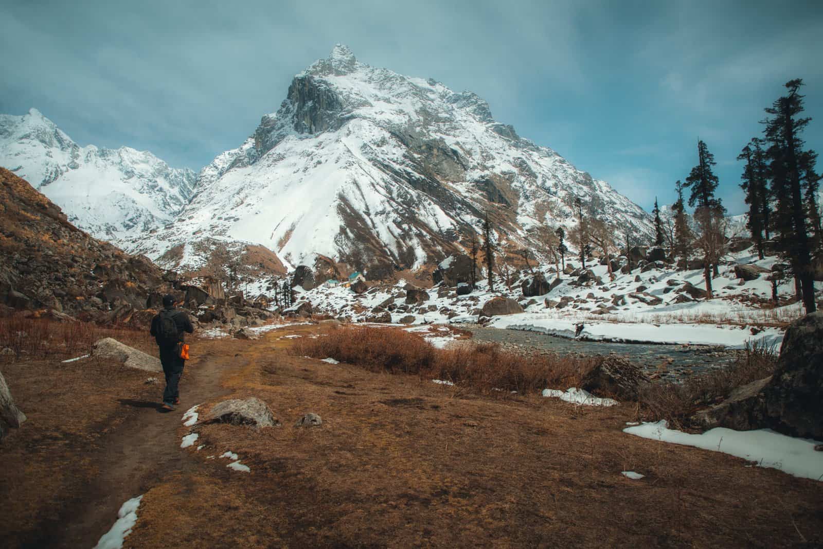
The Kudremukh Trek is named after the distinguishable shape of the Peak, which resembles a horse’s face in the Kannada language. Historically, it was also known as Samseparvath and was accessed through the Samse village. Located in the Chikkamagaluru district, Kudremukh is nestled in the heart of the western ghats. It falls within the Kudremukh National Park, the second-largest protected area for wildlife in the western ghats. With an altitude of 6,207 ft, it is the third highest Peak in Karnataka, after Mullayyangiri and Baba Budangiri. Kudremukh is a haven for various plants and animals, including deer and peacocks, which can be spotted during the trek. The journey takes you through picturesque rolling green hills, mist-filled valleys, grasslands, forests, and numerous small streams.
Best Time for Kudremukh Trek
The best time to explore Kudremukh Trek is from June to February when the weather is generally favorable. However, the Kalasa region enjoys a pleasant climate year-round. During the monsoon and winter, the area transforms into a picturesque landscape characterized by numerous small streams, dense dark forests, towering bamboo shrubs, and rolling green hills. As some parts of the trek involve open-sky trekking, it’s not advisable to embark on this adventure during summer.
Highlights of Kudremukh Trek
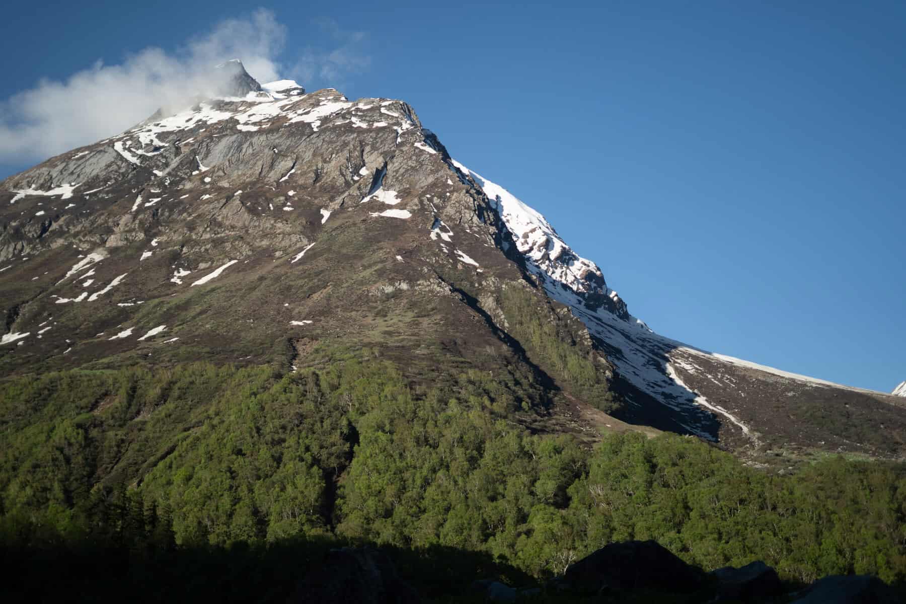
The Kudremukh peak has a distinct appearance resembling the face of a horse when viewed from a certain angle. This feature becomes noticeable after trekking for about an hour from the forest office. Although it may seem nearby, it takes an additional three hours of trekking to reach that spot.
As you approach the Kudremukh peak, you’ll need to traverse the Shola forest, a local name for the grasslands and shrublands that dot the western ghats. This forest is a haven for wildlife, including deer, lion-tailed macaques, Malabar giant squirrels, leopards, common langurs, and more. Keep your eyes peeled; you might spot some of these creatures as you hike. Be prepared for a soggy experience during the monsoon season, as leeches are abundant in this area. One of the highlights of this section is the numerous waterfalls and small streams that crisscross your path. You’ll need to cross many of these streams, so be prepared to get your shoes wet.
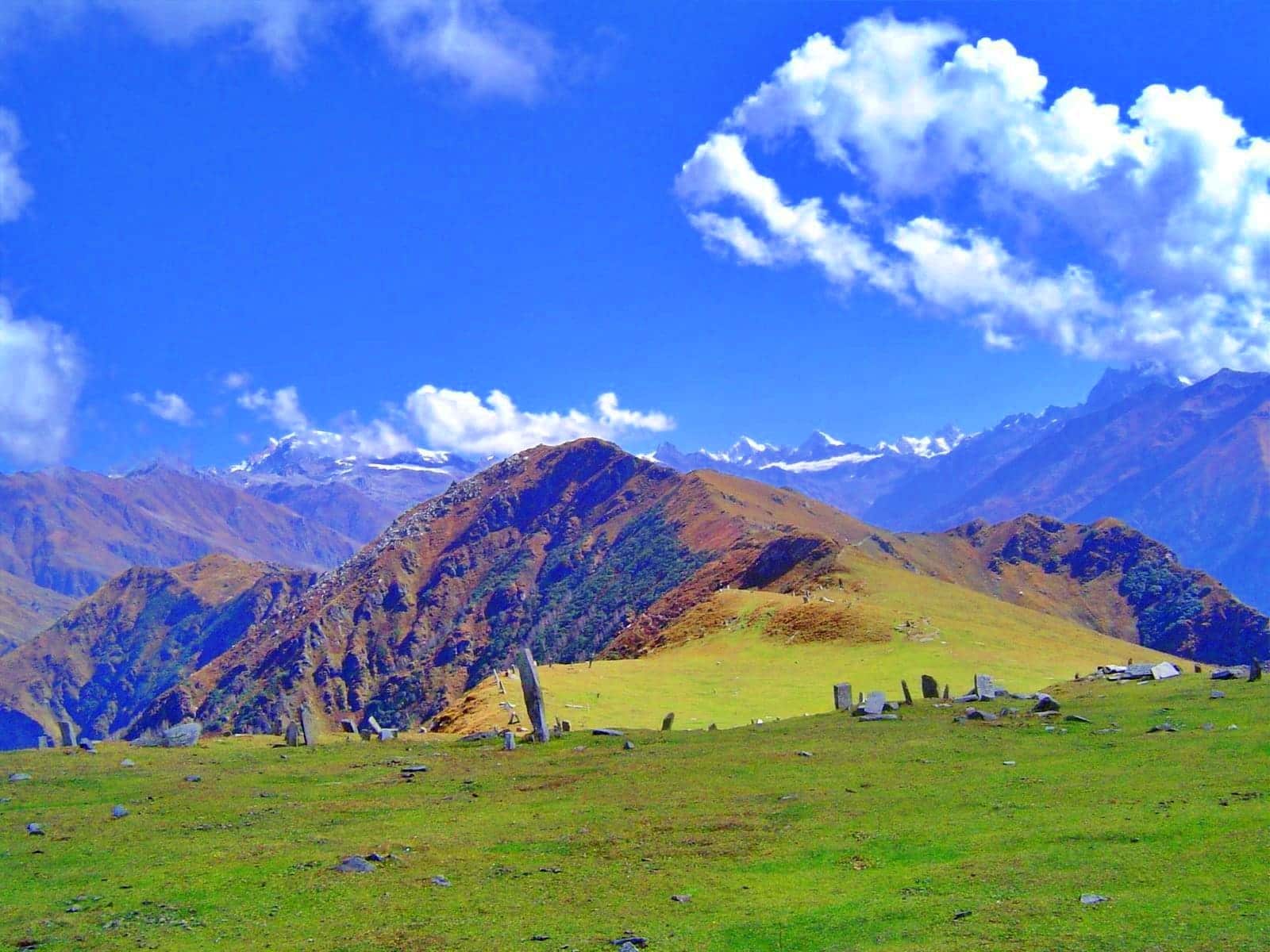
As you emerge from the dense shola forest, a breathtaking panorama of rolling hills unfolds. The lush green landscape stretches as far as the eye can see, with mist-covered valleys adding a touch of mystery to the scenery. During the monsoon season, the area may be shrouded in fog, but the interplay of clouds and mist creates a surreal and captivating spectacle that is not to be missed.
Kudremukh Trek Detailed Trail Information
Get to the forest office early to obtain permission. The trek begins at the forest office. You can hear the sound of the waterfall at Somawathi Falls, which will accompany you for a while before you enter the forest trail. Once inside the Shola forest, you’ll notice the vegetation becoming denser.
If you’re lucky, you may spot wildlife in this forest, which is also home to many leeches and earthworms. After about 15 minutes of a gradual uphill climb, you’ll come across a stream. During the monsoon season, the water level will be high.
Before starting the trek, apply Dettol or Savlon to prevent leeches, and remove them once you reach the grassland or summit. Only 50 people are allowed permission daily, so get to the forest office early. Along the way, you’ll encounter several waterfalls and small streams until you reach the first Ontimara.
When you exit the forest section, you’ll see the inviting Ontimara with space underneath, surrounded by a wide canopy. From Ontimara, the trail becomes flat, with the Kudremukh valley on your right and a mountain on your left. You’ll be walking on grassland with occasional dense trees. After trekking for about an hour and a half, you’ll reach the second Ontimara.
If you’re calculating from the forest office, it will take approximately 2 hours to reach the distinctive marker of the second Ontimara.
As you proceed from the second Ontimara, your journey combines a leisurely incline with a challenging climb as you near the final stretch of your adventure.
This trek portion offers breathtaking vistas of lush green hills that unfurl before your eyes. Following a 20-minute gentle ascent from the initial stop, the trail begins to steepen, presenting a more demanding climb. As you ascend, the panoramic Kudremukh valley comes into view, making this the most picturesque segment of the journey.
The excitement builds as you realize you’re approaching the iconic Kudremukh Peak summit, which lies directly ahead.
As you trek, you’ll reach a point around noon if you start at 8 am. Take a moment to rest and refresh yourself with water. Appreciate the scenery.
You’ll notice the back of the Kudremukh view from this spot. You’re now in the heart of the Kudremukh valley and can see the trail leading to the Peak. It’s a 35-minute climb from here to the top.
Once you reach the summit, you’ll see a board and a pile of stones. You’re now standing at the highest point of the Kudremukh. To enjoy the best view:
- Head down a little to the ledge.
- Make some space to sit and take in the breathtaking panorama.
- Be prepared for strong winds.
On a clear day, you’ll be treated to a stunning 270-degree view of the uneven green carpets. However, the Peak is often surrounded by clouds and mist, providing a limited window to capture the view. Be patient and revel in the beauty of the shadows. If you’re lucky, the spectacular sight is worth the effort.
The serenity around you will leave you feeling content. Don’t forget to have lunch in this picturesque setting. The descent follows the same route as your ascent.
How to Reach For Kudremukh Trek
To embark on the Kudremukh Trek, you must first go to Mullodi village, approximately 15 km from Kalasa. However, reaching Mullodi directly can be challenging. Instead, you’ll need to follow a slightly longer route.
First, head to Kudremukh Entrance, about 10 km from Kalasa. From there, you can hire a jeep to take you to Mullodi village, where you’ll find the forest office. This is where you’ll need to obtain permission before beginning your trek.
To reach Kalasa, you can either drive your own vehicle or use public transportation. Once you arrive in Kalasa, follow the instructions above to get to the Kudremukh Entrance point and begin your trek.
Dates For Upcoming Treks
Want To Trek Like Pro?
Basically, watch these videos if you want to trek the same way professional trekkers do and make your skills better. These videos contain useful tips and techniques to further improve your trekking skills itself. These videos actually help both new and experienced trekkers improve their trekking skills. These videos definitely provide useful tips that make your trek better. We are seeing that these videos by Trekup India experts will only help you make your trekking skills better.



Know Everything About Acute Mountain Sickness
Acute Mountain Sickness occurs when people trek to high altitudes above 8,000 feet. This condition itself develops further due to reduced oxygen levels at such heights. Basically, as you go higher up, the air pressure and oxygen levels decrease, which causes the same problem. Acute Mountain Sickness surely causes headache, nausea, vomiting, and dizziness in affected persons. Moreover, peoples also experience difficulty in sleeping during this condition. To avoid mountain sickness, you should actually trek up slowly to higher altitudes. To learn further about this condition itself, watch the videos by Trekup India.
