Chandratal Baralacha Trek
Chandratal Baralachala Trek
| Region: | Ladakh |
| Duration: | 4 Days |
| Trek grade: | Easy |
| Maximum altitude: | 16240 ft |
| Best Time to Visit: | June to October |
You’ve been dreaming about the remote landscapes of Ladakh but worried about the time and expense of getting there? The Chandratal Baralachala Trek in Spiti Valley delivers all the magic of high-altitude Himalayan trekking without the logistical headaches. This 4-day adventure takes you through some of the most untouched terrain in India, where your only company will be nomadic Gaddi shepherds and their flocks wandering these ancient paths.
This trek is perfect for experienced hikers looking for a less crowded alternative to popular Ladakh routes, adventure seekers who want to test their river-crossing skills, and anyone ready to disconnect completely from civilization while camping under star-filled skies at 15,000+ feet.
We’ll walk you through the complete trek route from the turquoise waters of Chandratal Lake to the windswept Baralacha Pass, including the challenging stream crossings and rocky terrain that make this journey so rewarding. You’ll also get practical details on reaching the starting point via the newly opened Rohtang Tunnel, plus a comprehensive gear list for tackling everything from icy river fords to high-altitude camping. Finally, we’ll cover the best trekking windows and essential safety tips for navigating this remote corner of the Himalayas on your own.
What Makes Chandratal Baralacha la Special
1. Ladakh-style trekking experience without the expense and travel time
You’ll discover that the Chandratal Baralacha Trek offers an authentic Ladakh-style adventure without the typical challenges associated with reaching India’s northernmost region. Unlike traditional Ladakh expeditions that demand extensive planning, multiple travel days, and significant financial investment, this Spiti trek provides you with a comparable high-altitude experience that’s both accessible and budget-friendly. You can enjoy the same dramatic landscapes, challenging terrain, and spiritual solitude that characterize Ladakh’s famous routes, but with the convenience of shorter travel times and reduced logistical complexity.
2. 4-day charming trek through desolate Spiti landscape
Your journey unfolds over four captivating days through Spiti’s remarkably desolate terrain. You’ll traverse landscapes that showcase the raw beauty of this high-altitude desert, where vast expanses of barren mountains create an otherworldly atmosphere. The trek’s manageable duration makes it perfect for your adventure needs, whether you’re a seasoned trekker looking for a shorter expedition or someone seeking their first high-altitude experience. You’ll find the route surprisingly easy to navigate, allowing you to focus on absorbing the stunning scenery rather than struggling with overly technical terrain.
3. Less frequented alternative to popular Ladakh treks
You’ll appreciate that this trek serves as an excellent alternative to Ladakh’s crowded routes like the Markha Valley and Stok Kangri expeditions. While those popular destinations often suffer from overtourism and require advance bookings, your Chandratal Baralacha experience offers blessed solitude and spontaneous adventure opportunities. You won’t encounter the crowds that typically characterize mainstream Himalayan treks, giving you the rare chance to connect deeply with the pristine mountain environment and experience true wilderness tranquility.
4. Stunning turquoise waters of Chandratal Lake at 4270 meters
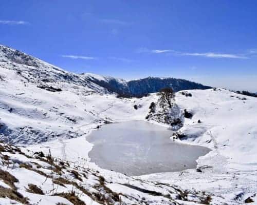
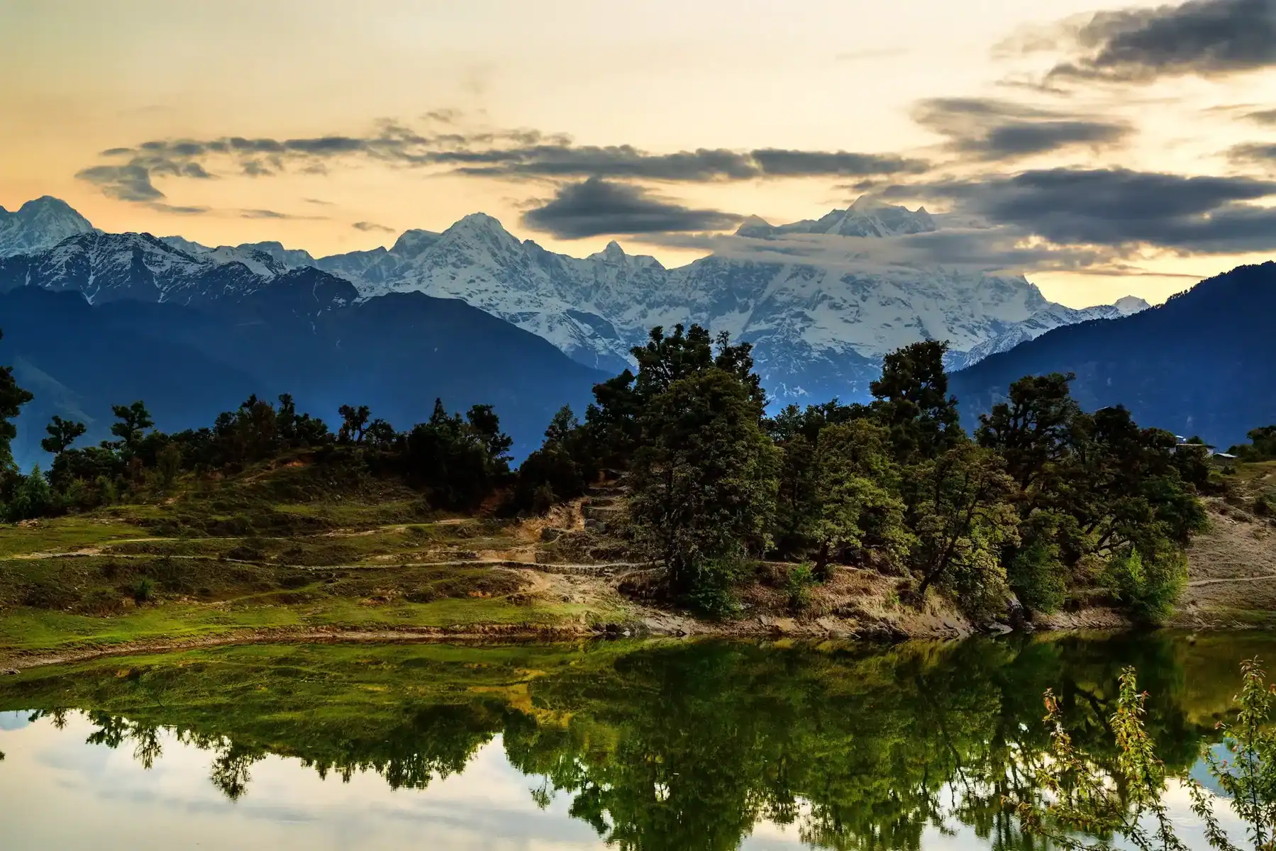
Your trek culminates at the breathtaking Chandratal Lake, positioned at an impressive elevation of 4,270 meters (13,940 feet) above sea level. You’ll be mesmerized by the lake’s stunning turquoise waters that create a striking contrast against the surrounding barren landscape. The pristine waters possess an almost supernatural quality that will literally take your breath away – both from their beauty and the high altitude. This natural jewel serves as the perfect reward for your trekking efforts, offering you photographic opportunities and moments of profound serenity that will remain etched in your memory long after your descent.
Chandratal to Baralacha La Trek – A Detailed Trail Guide
The cold deserts of Spiti and Ladakh have a way of calling trekkers back again and again. Most people know Stok Kangri or the Markha Valley trails — but few realize that the Chandratal to Baralacha La trek offers the same dramatic landscapes without the intense logistics, altitude push, or heavy costs.
This is a trail that feels remote and untouched.
It is short, scenic, adventurous, and quiet — a rarity today.
And then there’s Chandratal (4270 m).
When the evening light falls on the lake, turning the water into shades of turquoise and silver, you instantly know the journey here was absolutely worth it.
Day 1 – Arrival at Chandratal (4270 m)
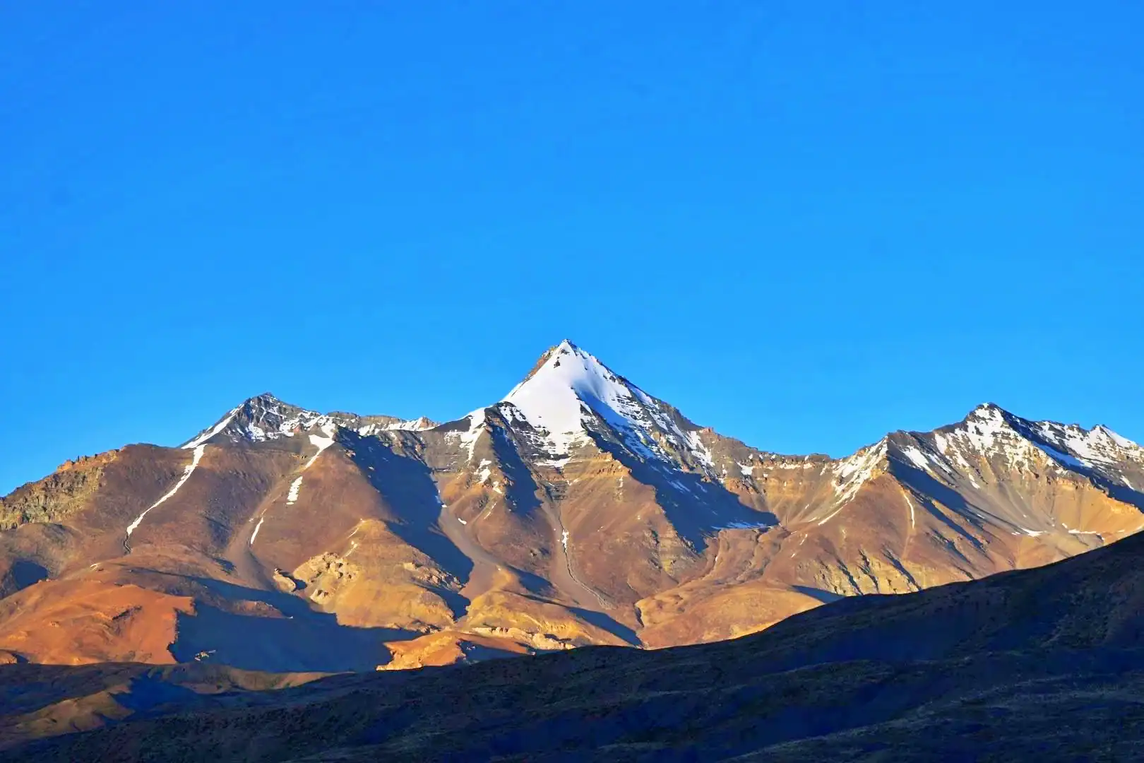
Most trekkers reach Chandratal by vehicle. The lake itself is large, deep, and set in a vast amphitheater of brown mountains and clear skies.
As evening arrives, the lake glows with pale blue and gold reflections — a sight that feels almost unreal.
You’ll likely camp around the lake. There are designated camping zones slightly away from the shoreline to protect the ecology.
Spend some time soaking in:
- The stillness of the desert air
- The surreal silence of the mountains
- The changing colors of the lake through sunset
Night skies here are crystal clear. The Milky Way arcs directly overhead.
Day 2 – Chandratal to Tokpo Gongma
Altitude: 4270 m → 4420 m
Trek Duration: ~8–10 hours
Start early — between 7:30 AM and 8:00 AM.
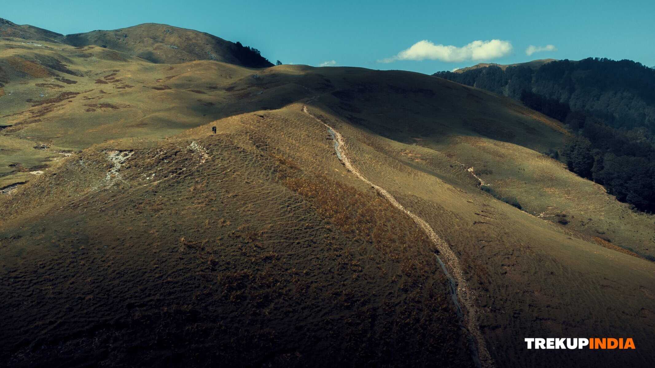
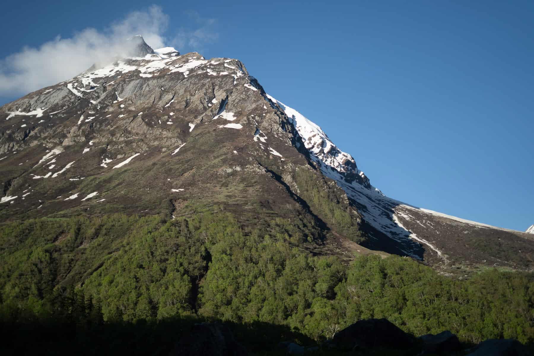
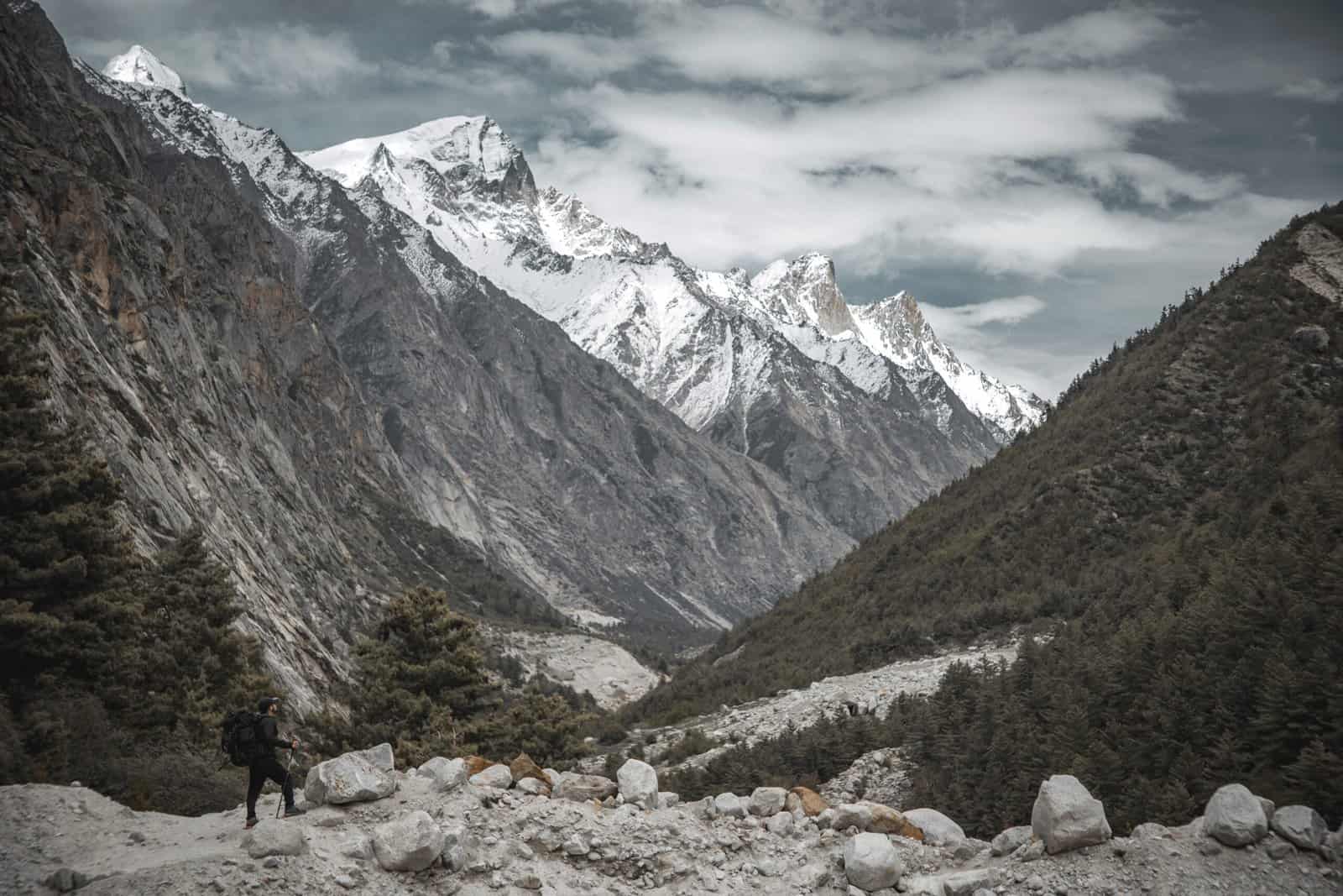
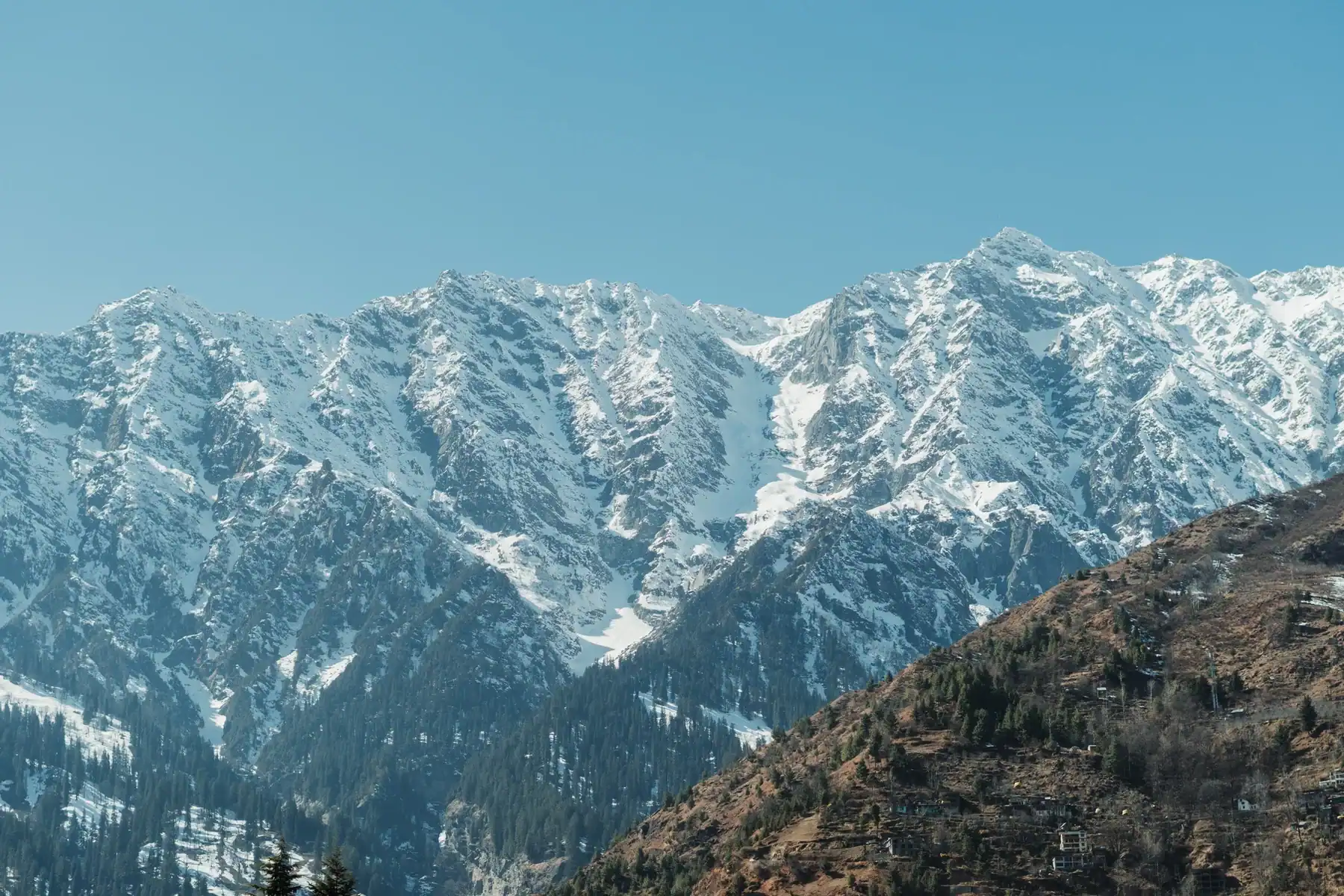
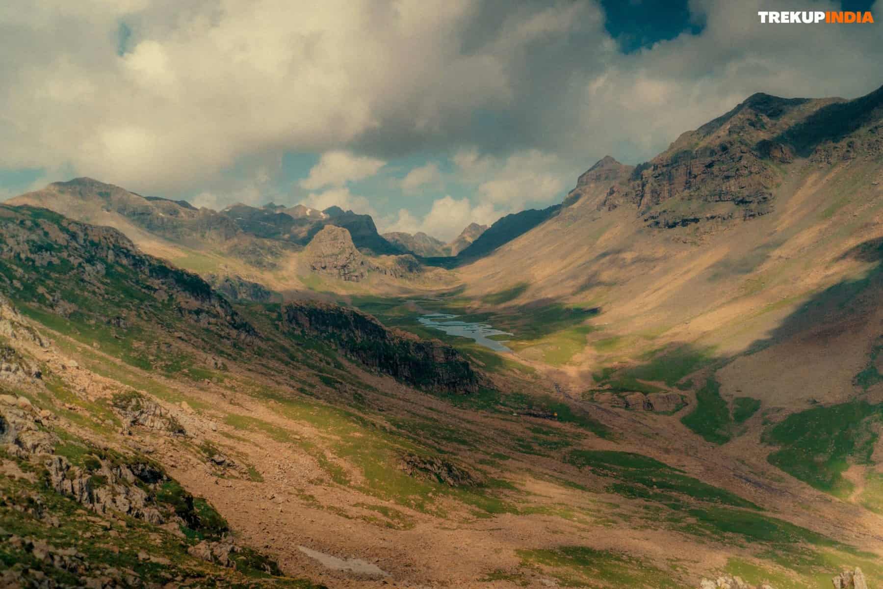
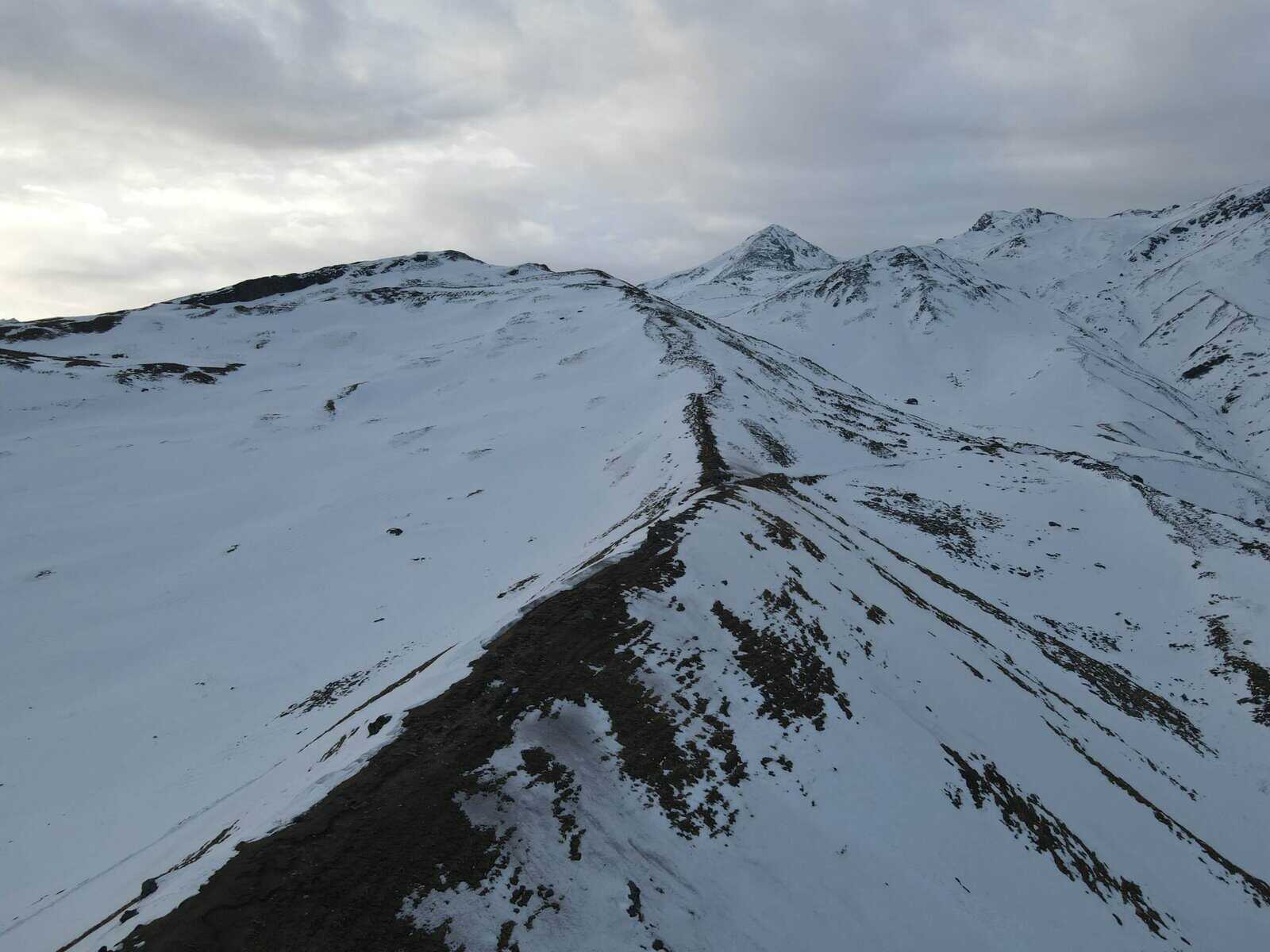
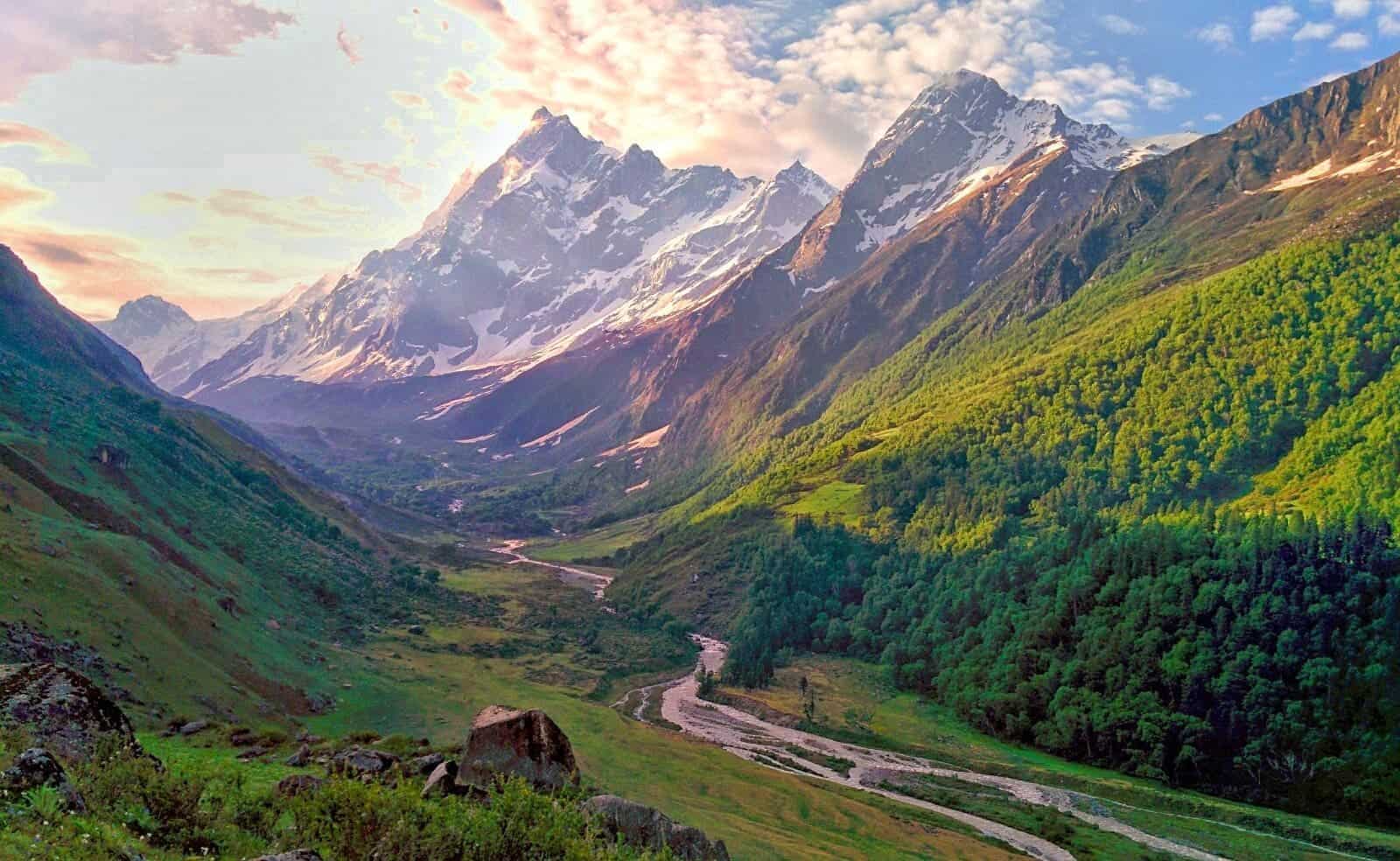
The trail rolls across rocky open terrain. You will be walking above the Chandra River, often with wonderful views of the valley cutting through the mountains.
Expect:
- Scree slopes
- Boulder patches
- Sparse grasslands
- Occasional Gaddi shepherd camps
Stream Crossings
You’ll encounter streams early on.
You will have to remove your shoes and step into freezing meltwater.
It’s uncomfortable — but unavoidable.
The Last Challenge of the Day
As you approach Tokpo Gongma, the river appears wide, fast, and intimidating.
Do not attempt a direct ford — the water is too deep and swift.
Instead, look upstream for a snow bridge (often used by local shepherds and horses).
Crossing the snow bridge requires caution — the surface can be icy, narrow, or cracked in places.
Once safely across, you’ll walk back downstream to reach the Tokpo Gongma campsite.
Camp beside the river, surrounded by untouched mountain wilderness.
Day 3 – Tokpo Gongma to Tokpo Yongma
Altitude: 4420 m → 4650 m
Trek Duration: 6–8 hours
Leave camp around 7:00 AM — there are two major stream crossings today too.
The first crossing is manageable with slow, careful steps.
But the second crossing — the Tokpo Gongma river again farther upstream — is the real test. The river widens and deepens here.
Look for:
- Cairns or markers left by earlier trekkers
- Snow bridges upstream (often the only safe crossing point)
Cross slowly and with full focus. Falls are possible — ice axes or trekking poles help with stability.
After the Crossing
Once you’ve crossed:
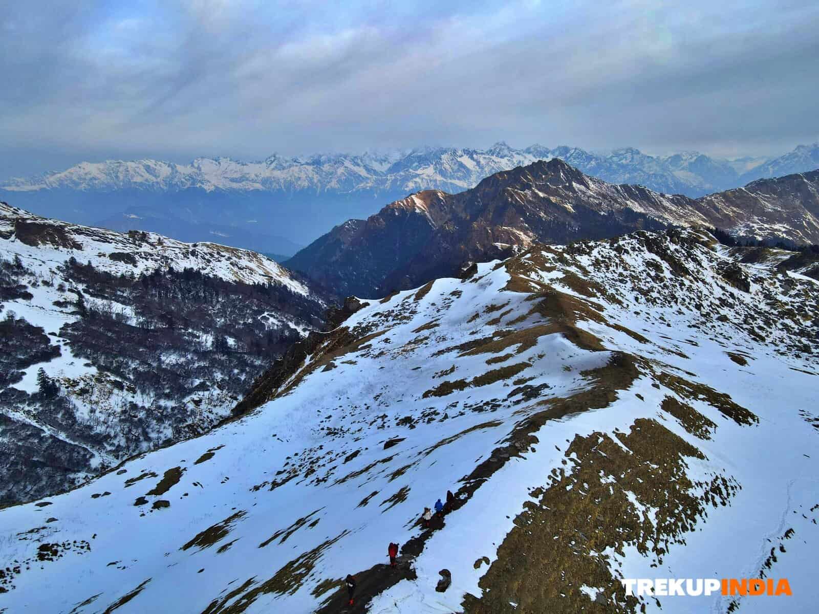
- A steep climb of about 70–100 meters awaits
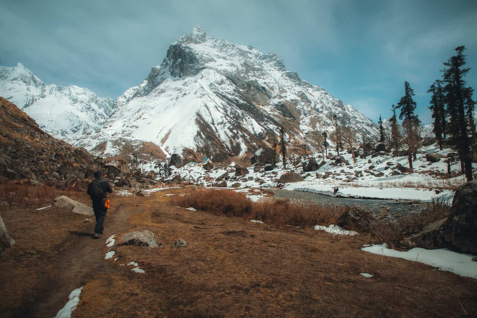
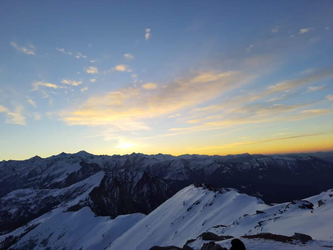
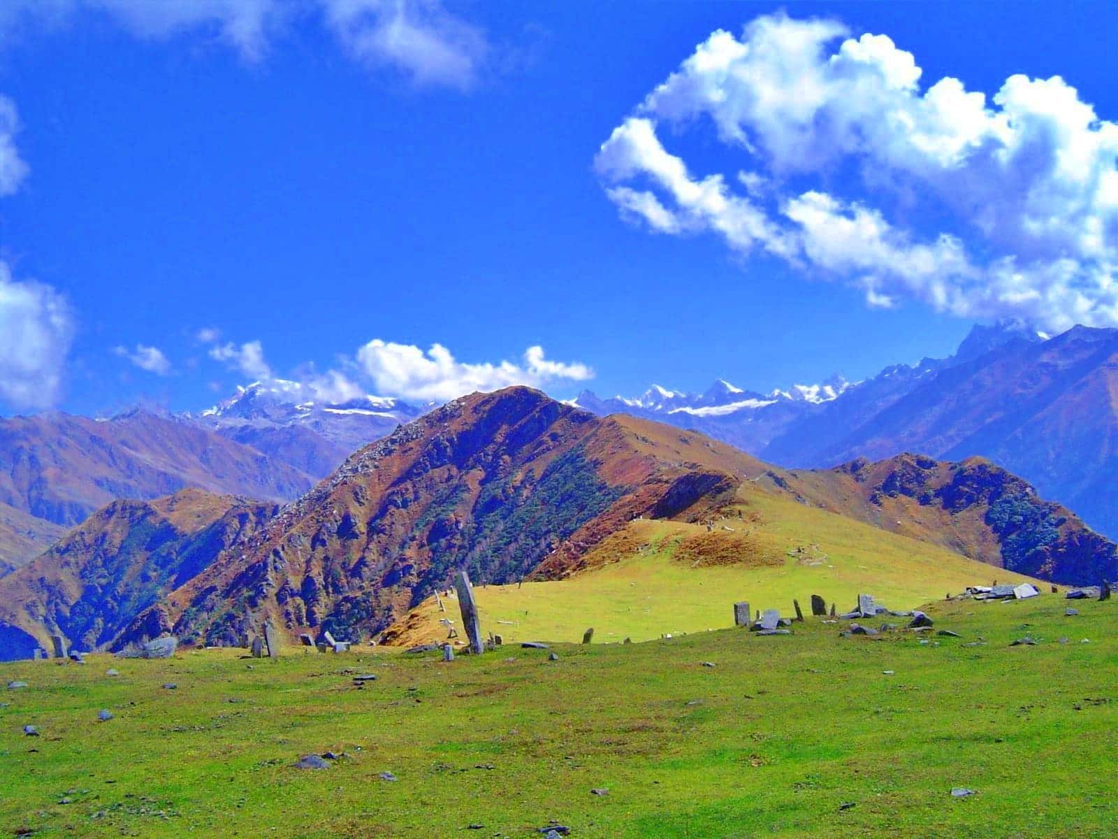
- The landscape opens into a wide, grassy meadow with magnificent views
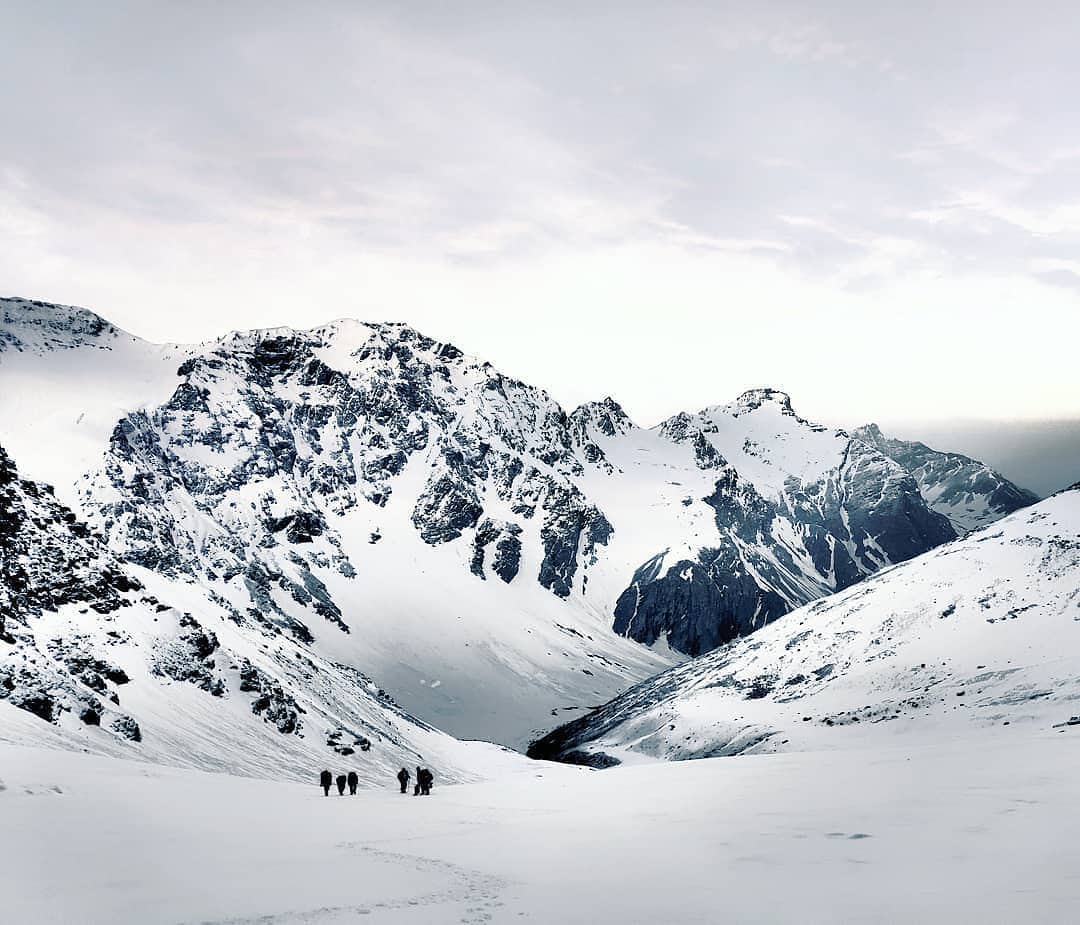
This peaceful high-altitude campsite is surrounded by snow-lined mountains and shepherd huts.
Spend your evening simply being present — it’s one of the most beautiful parts of the trek.
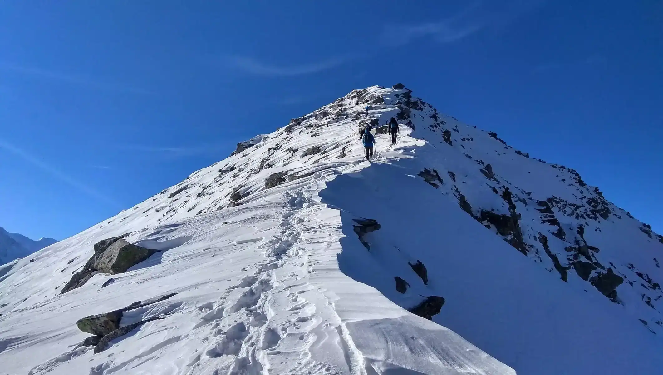
Day 4 – Tokpo Yongma to Baralacha La (South/North)
Altitude: 4650 m → 4900–4950 m
Trek Duration: 5–7 hours
This final day is gentle and scenic.
You walk across:
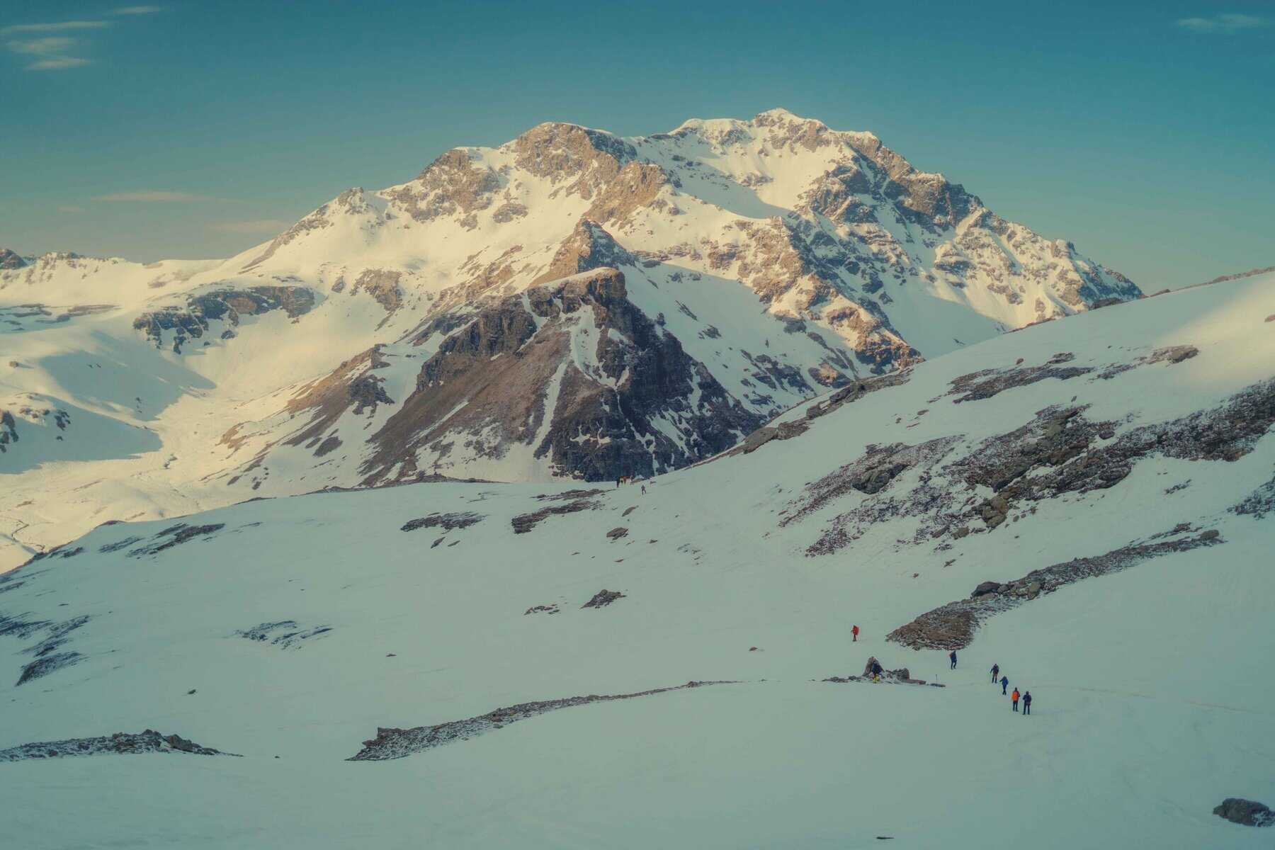
- Wide open plains
- Rolling cold desert hills
- Prayer-flag-lined passes
Just when you think the river crossings are behind you — there’s one last icy stream waiting. Cross it slowly, once again with boots off.
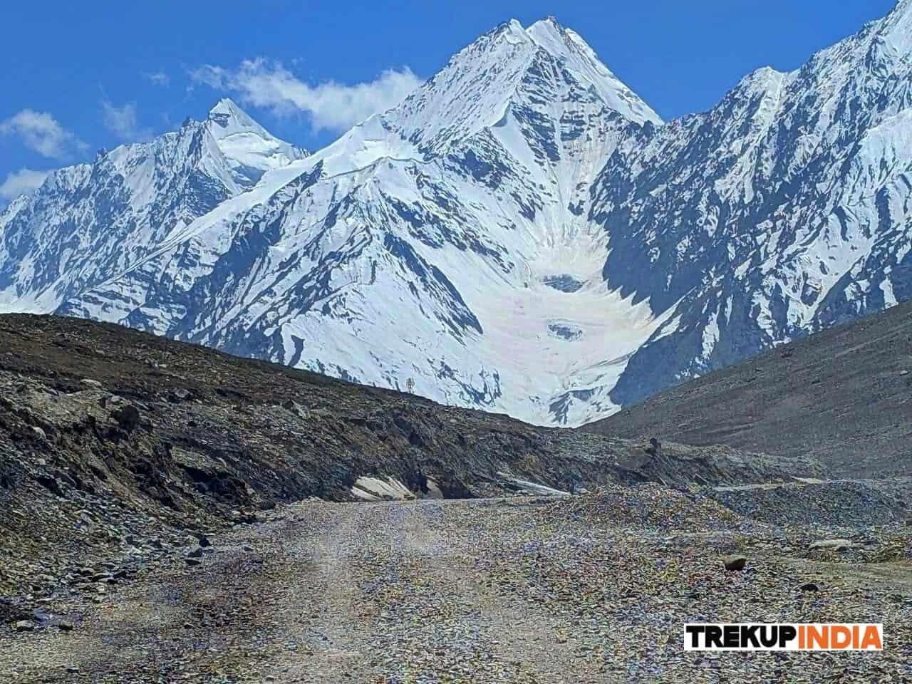
Soon, the landscape opens up like a grand stage — Baralacha La spreads out in front of you, where multiple ancient trade routes once intersected.
The mountains here feel silent, immense, and timeless.
From the pass, the Manali–Leh Road comes into view.
This is where the trekking trail ends.
You may choose to continue toward:
- Sarchu (around 5 km ahead) for night stay
- Or catch passing vehicles heading to Leh or Manali (depending on your direction)
The first sight of the road may bring:
- Happiness (food, warmth, rest)
- And also a quiet sadness — that such raw beauty must be left behind
But that feeling is the sign of a good trek — one that stays with you.
How to Reach and Transportation Options
Delhi to Manali by Bus or Private Transport
You have multiple convenient options to reach Manali from Delhi, making it the perfect starting point for your Chandratal Baralacha Trek. Your most economical choice is the overnight Volvo buses operated by Himachal State Transport Corporation, which provide comfortable seating and air conditioning for the long journey ahead. These government buses are reliable and well-maintained, ensuring you arrive refreshed for your trek.
If you prefer more flexibility in timing and comfort, various private bus operators also run regular services between Delhi and Manali. These buses often offer additional amenities and may have different departure schedules to suit your travel plans better.
For maximum convenience and privacy, you can opt for private taxi services, though this will be your most expensive option. Private taxis allow you to travel at your own pace and make stops along the way as needed.
Manali to Chandratal via Rohtang Tunnel and Batal
Once you reach Manali, your journey to Chandratal becomes an adventure in itself. You can choose from buses, shared taxis, or private jeeps to make this scenic drive. The route takes you through the revolutionary Rohtang Tunnel, also known as the Atal Tunnel, which has dramatically shortened the travel time and made the journey more accessible year-round.
Your drive to Batal is remarkably short thanks to this engineering marvel. As you emerge from the tunnel, you’ll witness a spectacular transformation in the landscape as the lush green valleys of Manali give way to the stark, arid beauty of Lahaul. This dramatic change marks your entry into the high-altitude desert region where your trek will unfold.
Alternative Starting Point from Kunzum La
If you’re looking for a different experience or want to extend your trekking adventure, Kunzum La serves as an excellent alternative starting point for your Chandratal Baralacha Trek. From this high mountain pass, you’ll need approximately four trekking days to reach Baralacha La, making it a more challenging but rewarding option.
This route requires you to cover an average of more than 12 kilometers daily, demanding better physical fitness and endurance. However, the extended trekking experience allows you to immerse yourself more deeply in the pristine wilderness and acclimatize gradually to the high altitude conditions.
Return Journey Options to Manali or Onward to Leh
Your return journey offers exciting flexibility depending on your travel plans. At Baralacha La, you can board vehicles that will take you back to Manali if you’re planning to return to Delhi or explore more of Himachal Pradesh.
Alternatively, if adventure calls and you want to explore Ladakh, you can continue onward to Leh from Baralacha La. This option opens up opportunities to explore the legendary landscapes of Ladakh and its unique Buddhist culture.
For connectivity during your return journey, keep in mind that network reception becomes available from Jispa if you’re heading towards Manali, while those traveling towards Leh can expect to regain network access from Sarchu. This information helps you plan your communication needs and inform your family about your safe completion of the trek.
Route Details and Trail Challenges
Navigation through boulder zones and scree slopes without marked trails
The Chandratal Baralachala Trek presents unique navigational challenges as you’ll traverse extensive boulder zones and unstable scree slopes where no marked trails exist. Your path forward often requires careful route-finding skills, as you’ll need to walk straight across terrain or seek elevated vantage points to determine the best direction. The absence of clear trails means you’ll constantly assess the landscape ahead, choosing your footing carefully among loose rocks and boulders that can shift unexpectedly underfoot.
Multiple stream crossings including major river fords
Prepare yourself for numerous water crossings that will test your balance and determination. You’ll encounter major river fords characterized by wide, fast-flowing, and icy cold waters that can reach knee-high depths. These crossings demand both physical stamina and mental preparation, as the frigid temperatures will shock your system. The powerful current and slippery riverbed stones require steady footing and careful timing to navigate safely across these formidable water obstacles.
Snow bridge crossings and technical river navigation
Your technical skills will be put to the test as you navigate challenging snow bridge crossings throughout the trek. These natural formations require careful assessment before crossing, as their stability can vary significantly. By August and September, you’ll often find that snow bridges have melted or become unreliable, forcing you to accept that your boots will get wet as you cross rivers at wider, shallower sections. This technical river navigation demands quick decision-making and adaptability to changing conditions.
Altitude progression from 4270m to 4950m
Your journey on the Chandratal Baralachala Trek involves a significant altitude progression that your body must gradually adapt to. Starting from Chandratal at 4270 meters (13,940 feet), you’ll ascend through Tokpo Gongma at 4420 meters and Tokpo Yongma at 4650 meters, ultimately reaching the trek’s highest point at Baralacha La, situated between 4900-4950 meters (16,240 feet). This substantial elevation gain requires careful acclimatization and awareness of altitude-related symptoms as your body adjusts to decreasing oxygen levels.
Essential Gear and Packing List
Trekking Shoes with Good Grip for Slippery Terrain
Your footwear choice can make or break your Chandratal Baralacha Trek experience. You absolutely need trekking shoes with excellent grip to navigate the slippery patches that are common throughout this challenging trail. The terrain presents various hazards including loose rocks, wet surfaces, and potentially icy conditions at higher altitudes.
Sports shoes are not recommended for this trek due to their inadequate sole grip and lack of ankle support. Your trekking shoes should provide superior traction to prevent dangerous slips on the treacherous sections of the trail. Invest in quality hiking boots with deep lugs and rubber compounds designed for mountain terrain.
Layered Clothing System for Temperature Variations
Now that we’ve covered footwear, your clothing strategy becomes equally critical for the Chandratal Baralacha Trek. You’ll need to prepare for dramatic temperature fluctuations, especially as evening temperatures can drop to 2-6 degrees Celsius at higher campsites.
Your layered clothing system should include at least three warm layers: two light layers such as fleece and woollen garments, plus one padded jacket for the coldest conditions. Additionally, pack trek pants suitable for mountain conditions, collared t-shirts for daytime comfort, and consider bringing thermals as an optional but recommended base layer for extra warmth during particularly cold nights.
Safety Accessories Including Headlamp and Trekking Poles
Previously, we’ve discussed clothing and footwear, but safety accessories are equally mandatory for your trek. Your essential safety gear must include a headlamp or LED torch for early morning starts and evening activities around camp. Trekking poles are crucial for maintaining balance on uneven terrain and reducing strain on your knees during steep descents.
You’ll also need sunglasses to prevent snow blindness from reflected UV rays, a suncap for sun protection, synthetic hand gloves for grip and warmth, a balaclava to protect your face from harsh winds, and extra socks to keep your feet dry and comfortable throughout the journey.
Mandatory Personal Medical Kit with Altitude Sickness Medication
With this in mind, your personal medical kit becomes a non-negotiable safety requirement. You must carry Diamox to prevent Acute Mountain Sickness (AMS), which is a serious concern at the high altitudes you’ll encounter on this trek.
Your comprehensive medical kit should include Crocin for fever management, Avomine for motion sickness, Avil for allergic reactions, Combiflam as a pain killer, and Disprin for headaches. For digestive issues, pack Norflox TZ and Lomofen for diarrhea, plus Digene, Omez, or Rantadine for acidity problems.
Your first aid supplies must include a crepe bandage, gauze, band-aids, cotton, ORS packets for rehydration, Betadine or antiseptic cream for wound care, and Moov spray for muscle relief. This medical kit could be lifesaving in remote areas where immediate medical assistance isn’t available.
Best Time to Trek and Weather Conditions
Optimal Trekking Season from Mid-June to Late September
Your journey to Chandratal Baralacha La should ideally be planned between mid-June and late September, when conditions are most favorable for this high-altitude adventure. During this window, you’ll find the most accessible trails and relatively stable weather patterns that make the trek both enjoyable and safer.
The mid-June start date ensures that most of the winter snow has melted from the higher passes, while the late September cutoff allows you to complete your trek before the harsh winter conditions set in. This four-month window provides you with the best balance of accessibility, weather stability, and scenic beauty.
Weather Patterns and Expected Conditions in Lahaul Region
When you embark on the Chandratal Baralacha Trek, you should expect the Lahaul region’s characteristic dry weather patterns throughout most of your journey. However, don’t let this fool you into thinking the weather will be entirely predictable. You need to prepare for short, recurrent showers that can occur unexpectedly during your trek.
These brief rainfall episodes are a natural part of the region’s weather cycle and shouldn’t discourage your trekking plans. The generally dry conditions mean you’ll experience clear skies and excellent visibility most of the time, making for spectacular photography opportunities and unobstructed mountain views.
Road Opening Schedules and Accessibility Factors
Your access to the starting point of the Chandratal Baralacha Trek depends heavily on road opening schedules that typically align with the Manali-Leh highway and the road to Spiti from Manali. These crucial transportation arteries often open as early as April, giving you advance notice of when your trek becomes feasible.
Understanding these road schedules is essential for your trip planning, as they directly impact when you can reach the trailhead and begin your adventure. The early opening times provide you with flexibility in choosing your trek dates within the optimal season.
Buffer Day Requirements for Weather Delays
You must incorporate buffer days into your itinerary to account for potential roadblocks or weather-related delays that could affect your challenging route to Manali or during the trek itself. These additional days aren’t optional extras but essential components of responsible trek planning.
Weather delays can occur both on your approach to the trailhead and during the actual trekking portion of your journey. By building these buffer days into your schedule, you protect yourself from missed connections, extended stays due to road closures, and the stress of rushing through what should be an enjoyable mountain experience.
Safety Considerations and Expert Recommendations
Not Recommended for Beginners Without Experienced Guides
The Chandratal Baralacha Trek demands a level of expertise that puts it firmly in the advanced trekker category. You’ll need to be a seasoned trekker with proven experience in negotiating challenging terrain, including stream crossings and difficult rocky sections, all without the safety net of professional guidance readily available. This isn’t a trek where you can rely on well-marked paths or frequent rescue points – your own skills and judgment become your primary safety tools.
Your ability to handle unpredictable situations becomes crucial when facing the trek’s technical challenges. Stream crossings can be particularly treacherous, with water levels varying throughout the day and weather conditions changing rapidly at high altitudes.
Importance of Proper Acclimatization at High Altitudes
Your acclimatization strategy becomes absolutely critical when starting from Chandratal at 4,250 meters (13,940 feet). At this elevation, your body needs time to adjust to the reduced oxygen levels, and rushing the process can lead to serious altitude-related complications.
You must plan for adequate acclimatization days before attempting this trek. The high starting altitude means you’re already in the danger zone for altitude sickness from day one. Your breathing will be labored, and you may experience headaches, nausea, or dizziness if you haven’t properly prepared your body for these conditions.
Remote Area Challenges and Emergency Preparedness
Now that we’ve covered the physical demands, you need to understand the isolation factor of this trek. You’ll be traversing areas completely cut off from civilization, where help isn’t just a phone call away. Your emergency preparedness becomes your lifeline in these remote locations.
Your medical kit needs to be extensive and comprehensive, covering everything from basic first aid to serious emergency interventions. You’ll also need backup oxygen cylinders at your campsites – this isn’t optional equipment but essential safety gear given the extreme altitudes and remote nature of the trek.
Prior planning and logistical support become paramount to your safety and success. You must have contingency plans for weather changes, medical emergencies, and equipment failures.
Alternative Trek Suggestions for Less Experienced Trekkers
With this in mind, if you’re looking to build your high-altitude trekking experience, the Hampta Pass trek offers you a more suitable stepping stone. This moderate trail provides you with varied scenery while allowing you to develop the skills and confidence needed for more challenging expeditions like the Chandratal Baralacha Trek.
Your progression as a trekker should be gradual, building experience on less technical routes before attempting this demanding adventure.
Conclusion
The Chandratal Baralachala Trek offers you an incredible opportunity to experience the raw beauty of the Himalayas without the logistical challenges of reaching Ladakh. This 4-day journey through Spiti’s desolate landscape rewards you with stunning turquoise waters of Chandratal Lake, challenging river crossings, and ethereal mountain vistas that will leave you breathless. The trek’s moderate difficulty level makes it accessible to experienced trekkers while still providing the authentic wilderness experience you seek.
Before embarking on this adventure, ensure you’re well-prepared with proper gear, adequate fitness training, and most importantly, professional guidance for the technical river crossings. The trek’s remote nature means you’ll be completely disconnected from the modern world, offering you a rare chance to find peace in the vast Himalayan wilderness. Whether you’re combining it with the Hampta Pass trek or planning your onward journey to Leh, the Chandratal Baralachala Trek promises to be an unforgettable addition to your Himalayan adventures, creating memories that will last a lifetime.
Dates For Upcoming Treks
Want To Trek Like Pro?
Basically, watch these videos if you want to trek the same way professional trekkers do and make your skills better. These videos contain useful tips and techniques to further improve your trekking skills itself. These videos actually help both new and experienced trekkers improve their trekking skills. These videos definitely provide useful tips that make your trek better. We are seeing that these videos by Trekup India experts will only help you make your trekking skills better.



Know Everything About Acute Mountain Sickness
Acute Mountain Sickness occurs when people trek to high altitudes above 8,000 feet. This condition itself develops further due to reduced oxygen levels at such heights. Basically, as you go higher up, the air pressure and oxygen levels decrease, which causes the same problem. Acute Mountain Sickness surely causes headache, nausea, vomiting, and dizziness in affected persons. Moreover, peoples also experience difficulty in sleeping during this condition. To avoid mountain sickness, you should actually trek up slowly to higher altitudes. To learn further about this condition itself, watch the videos by Trekup India.
