Bagji Bugyal Trek
Bagji Bugyal Trek
| Region: | Uttarakhand |
| Duration: | 6 Days |
| Trek grade: | Moderate |
| Maximum altitude: | 11100 ft |
| Best Time to Visit: | Mid-March to Mid-June. |
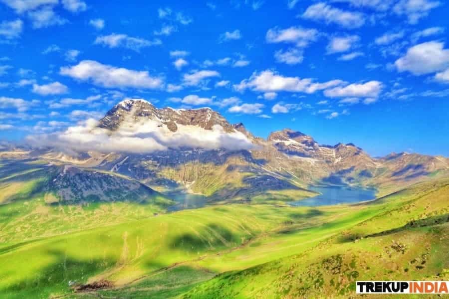
A trip to the Himalayas isn’t complete without a few local tales and legends. Then, Bagji Bugyal has one of its own. The locals talk about the time between 60 and 70 years ago when the tigers (Bagh as they call them in their local dialect) were free to roam through the meadows.Herdsmen from Tribal tribes used to stay clear of the bugyals to avoid their flocks, or more importantly, their herdersmen are enticed by the cats. To mark this particular bugyal set they named it”Bagji Bugyal.” Bagji Bugyal. The literal translation is meadows of tigers. Unfortunately, the tigers vanished.
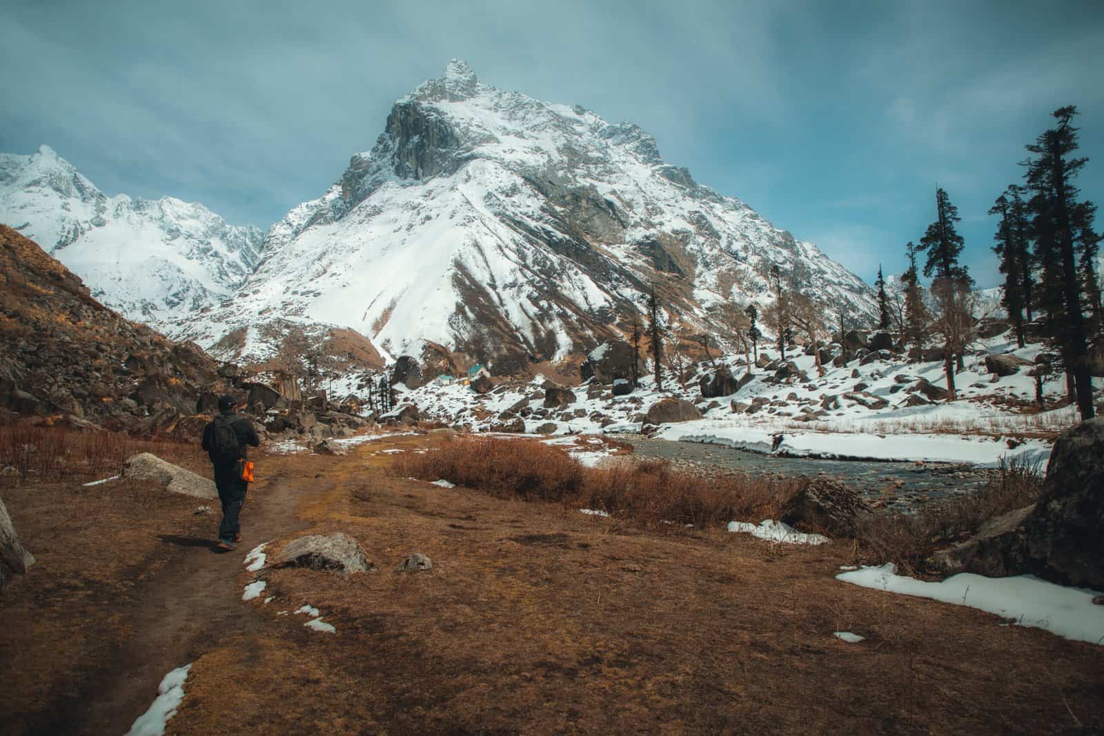
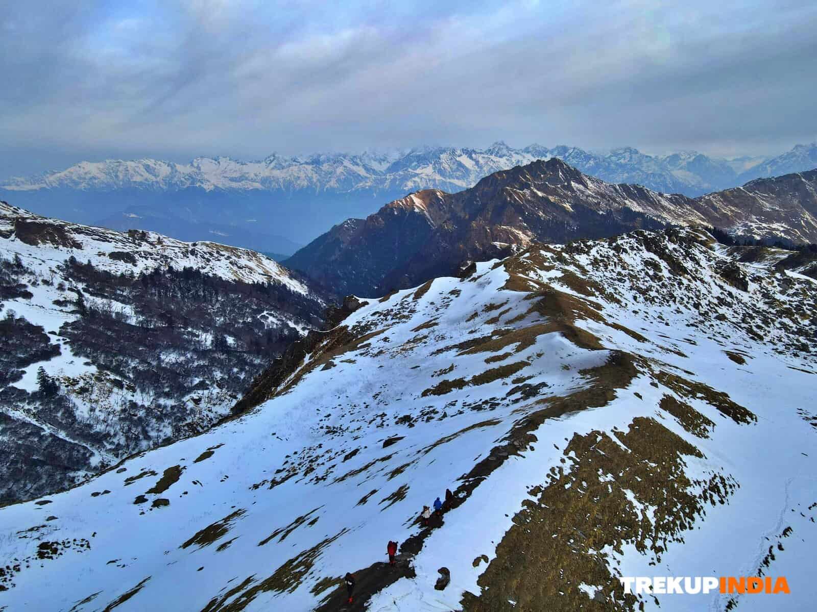
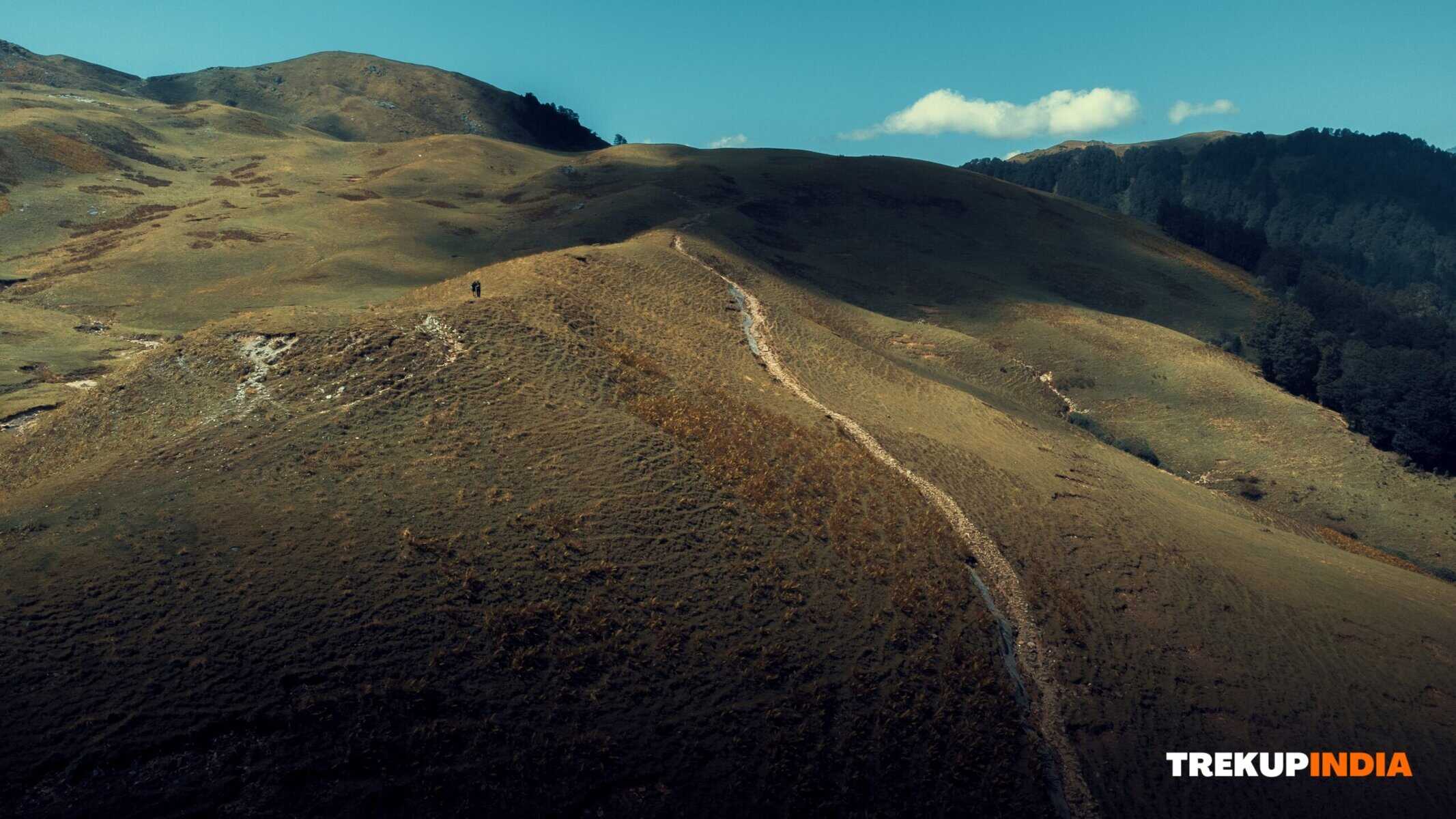
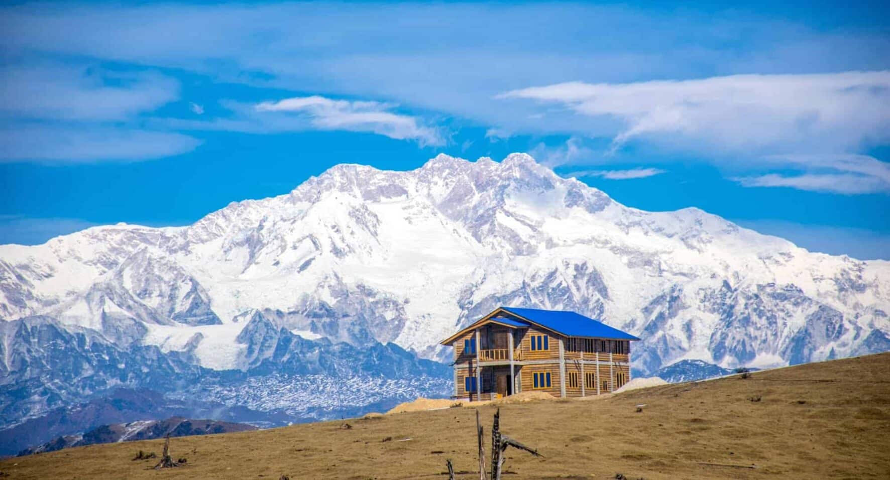
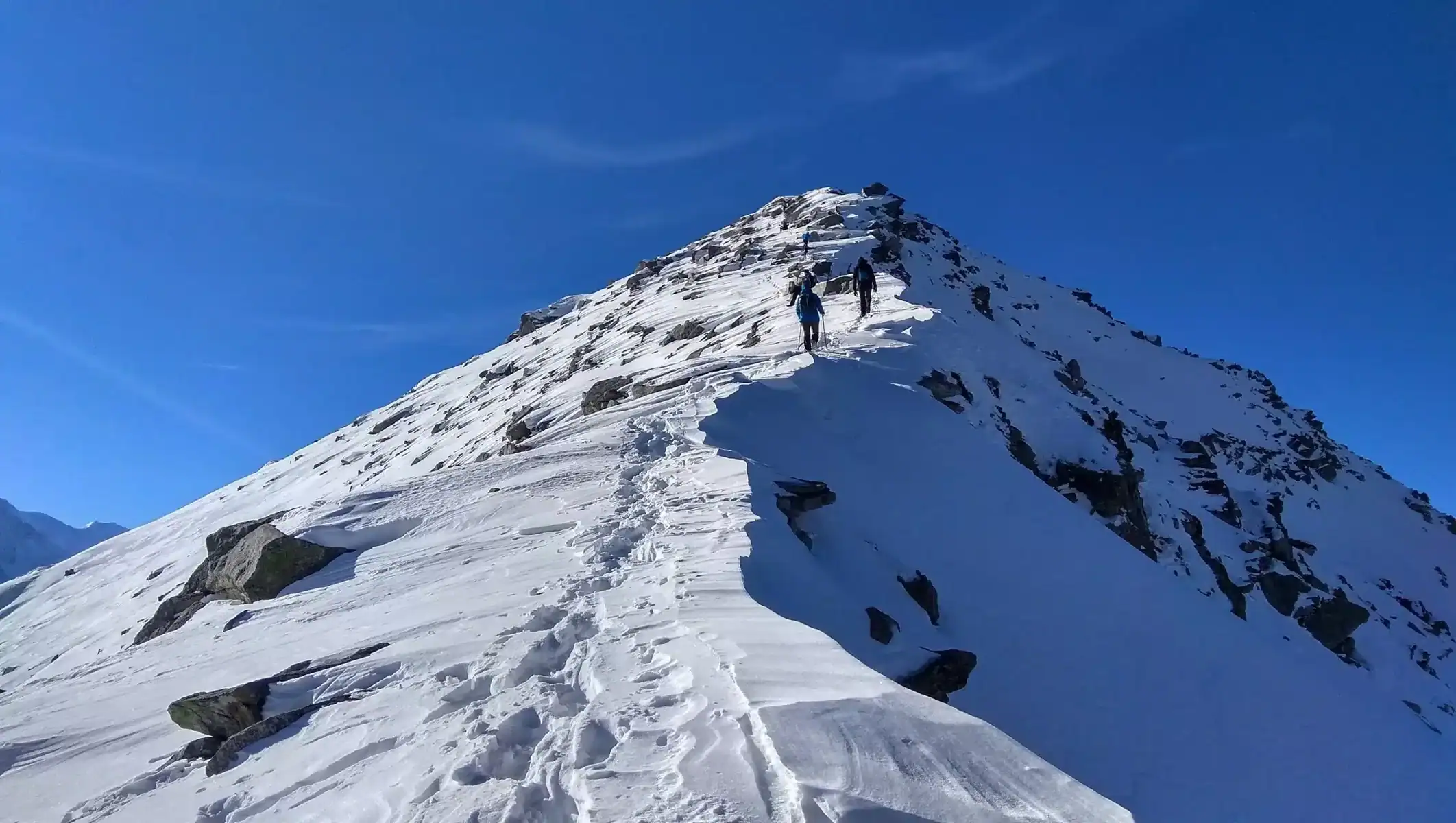
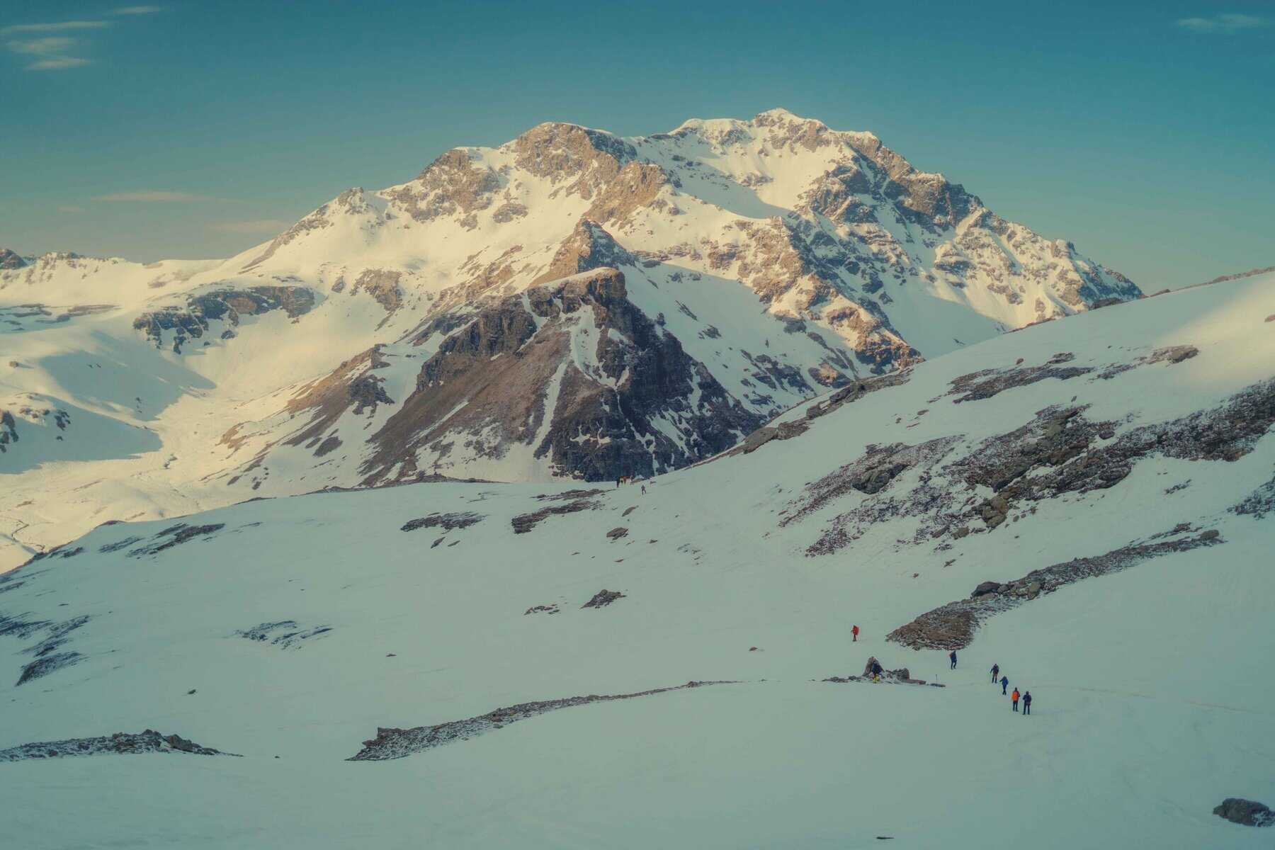
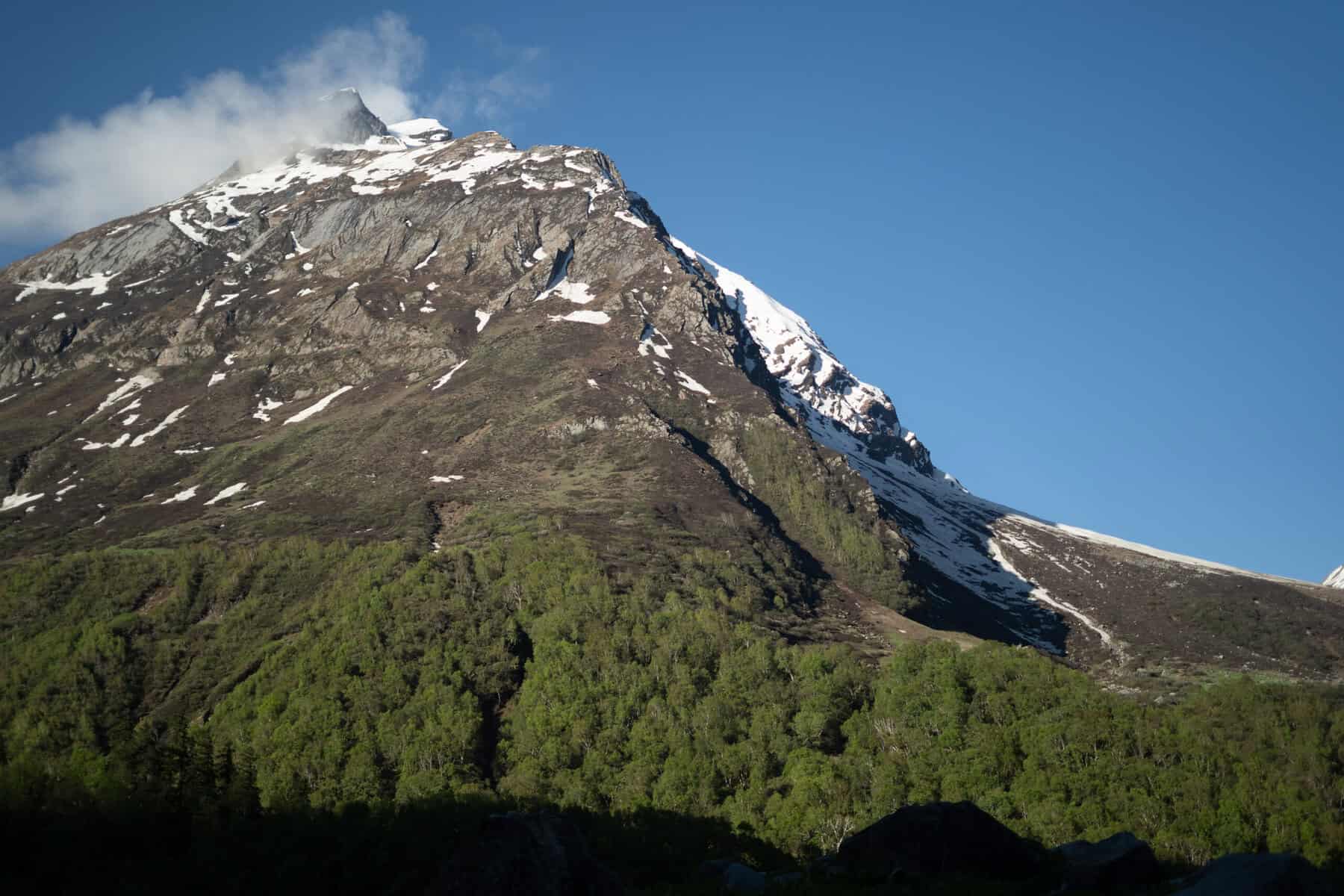
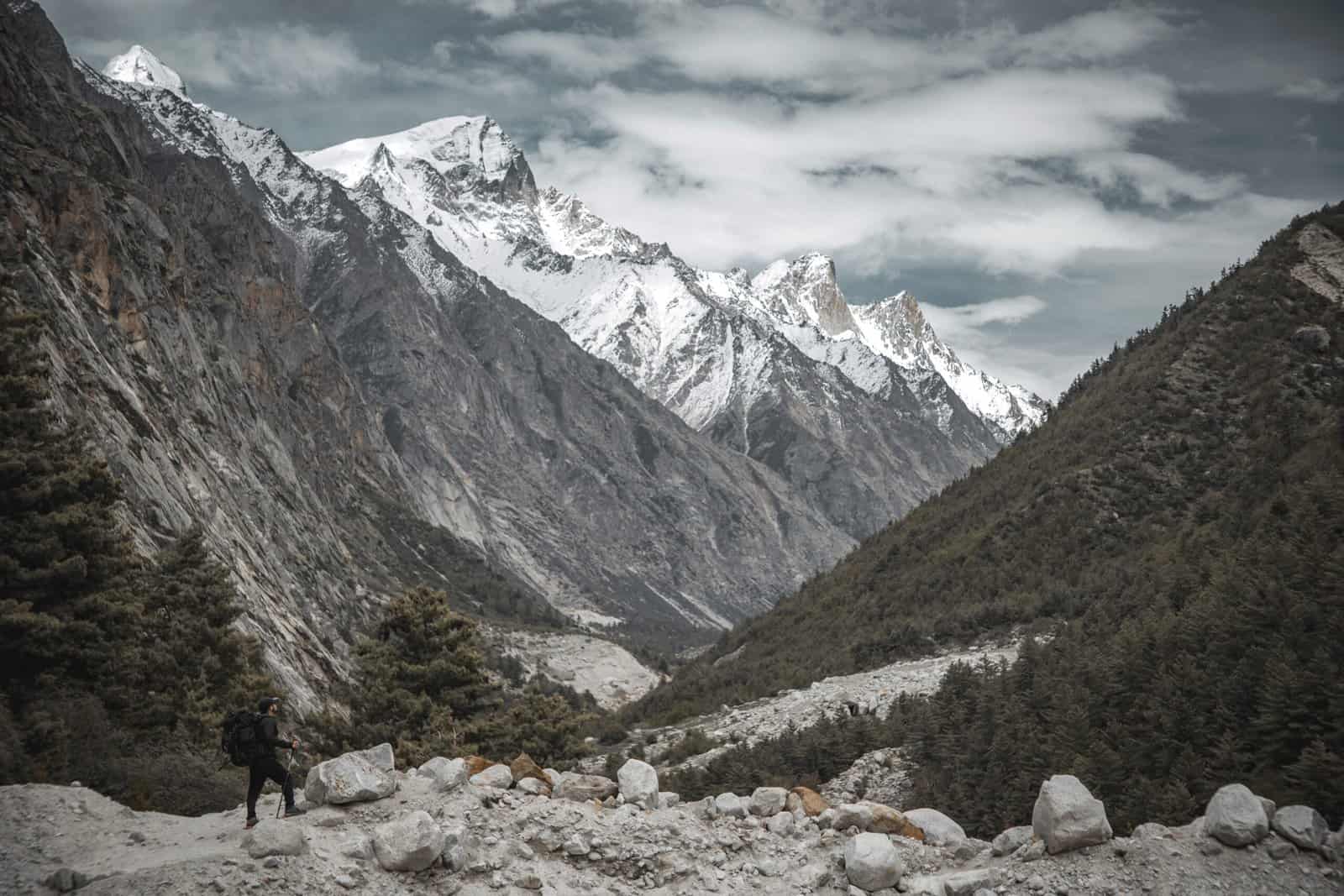
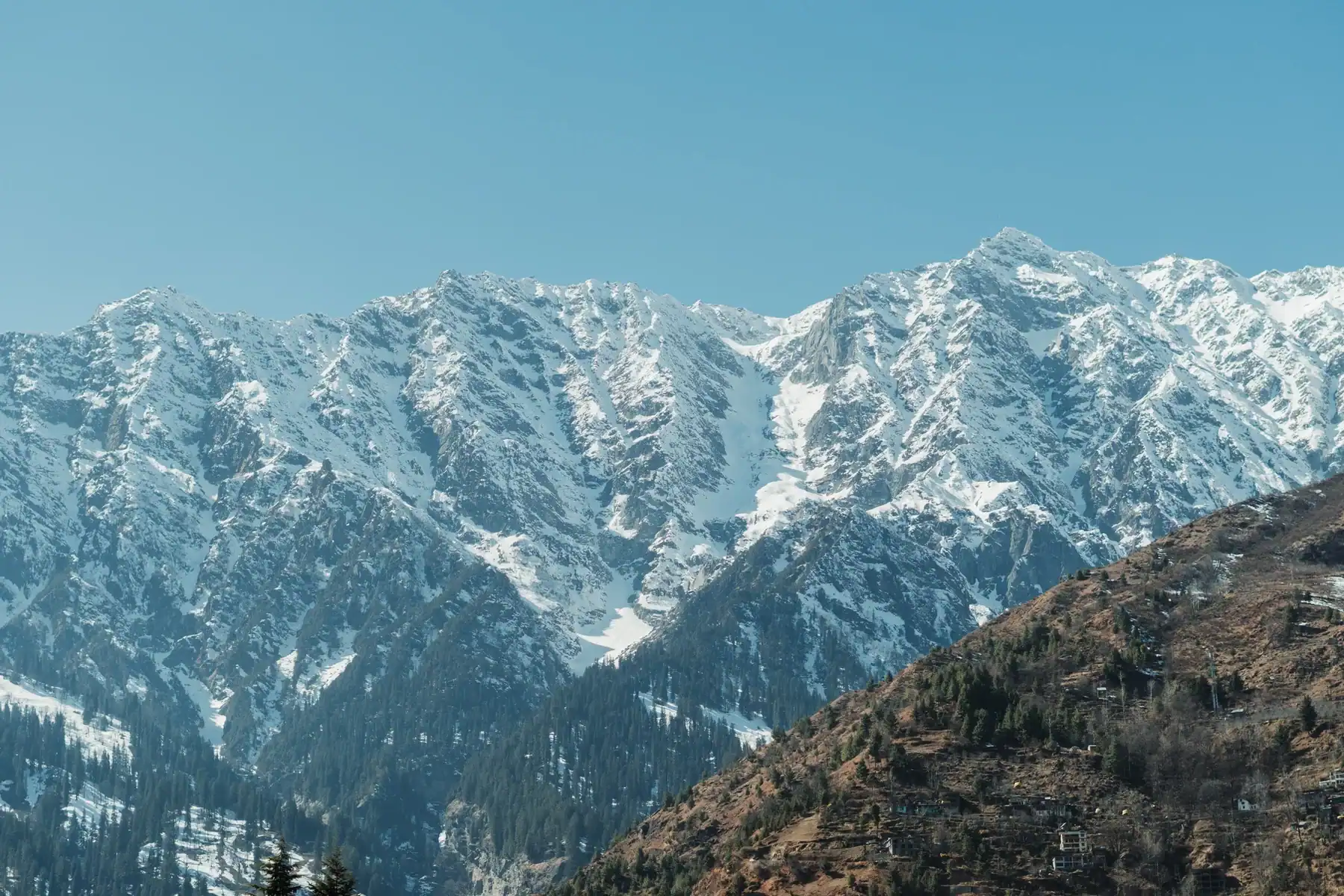
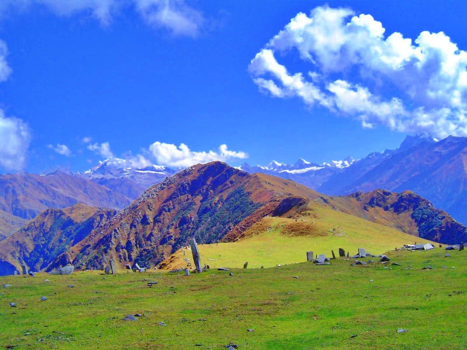
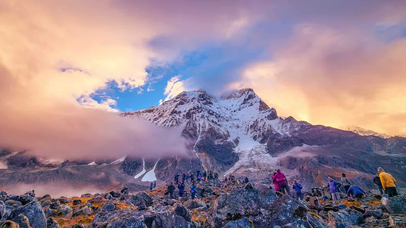
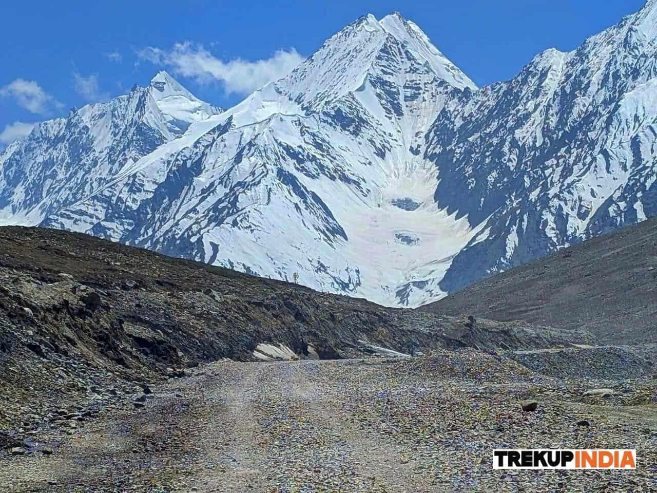
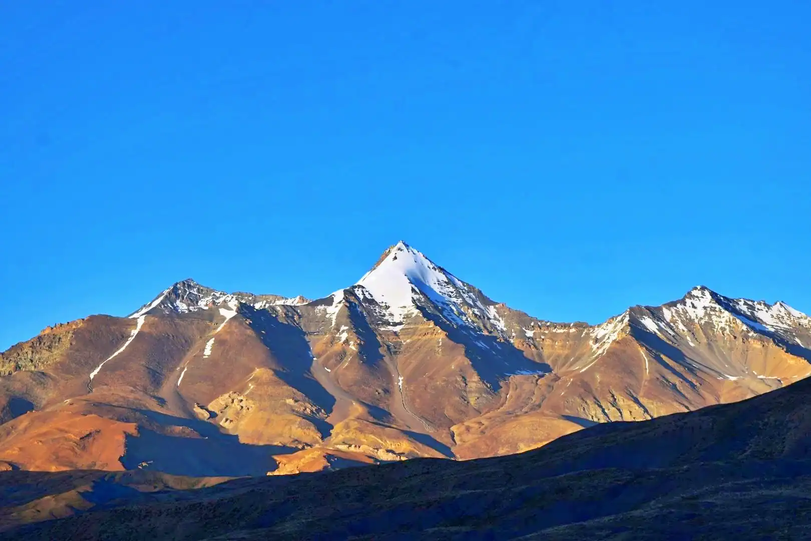
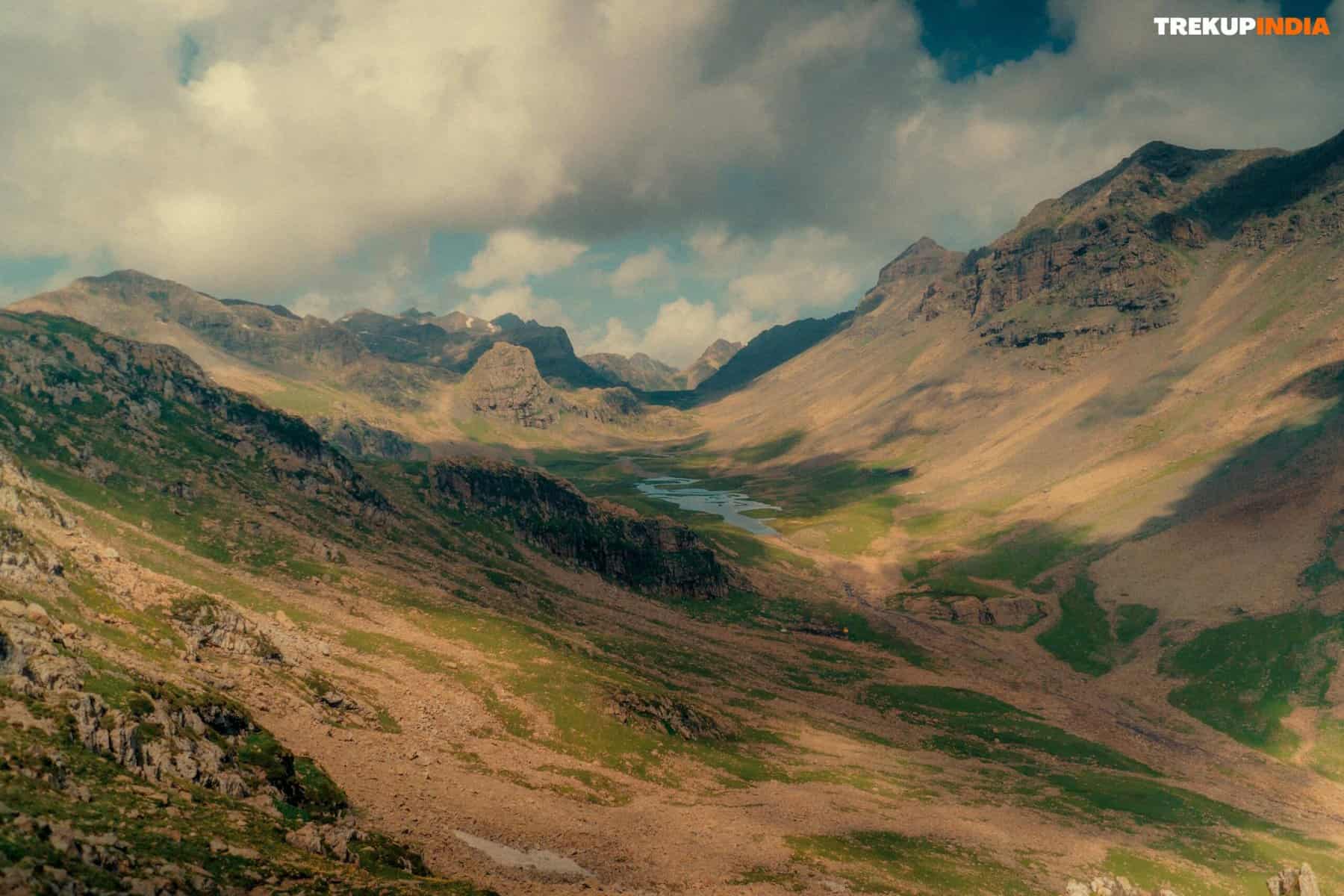
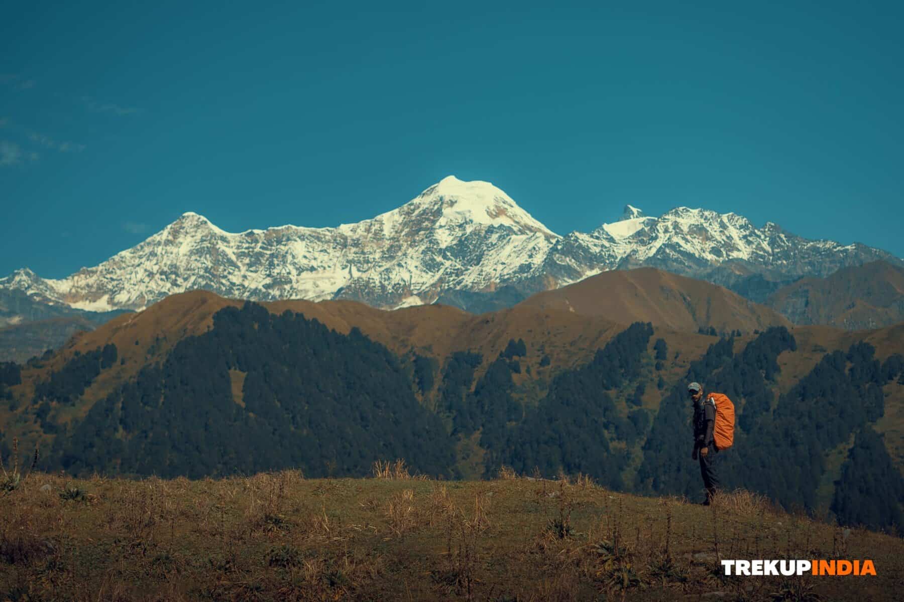
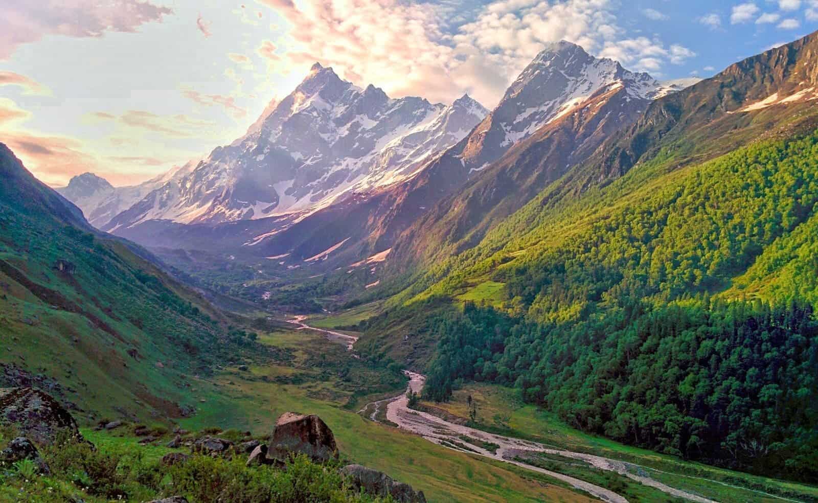
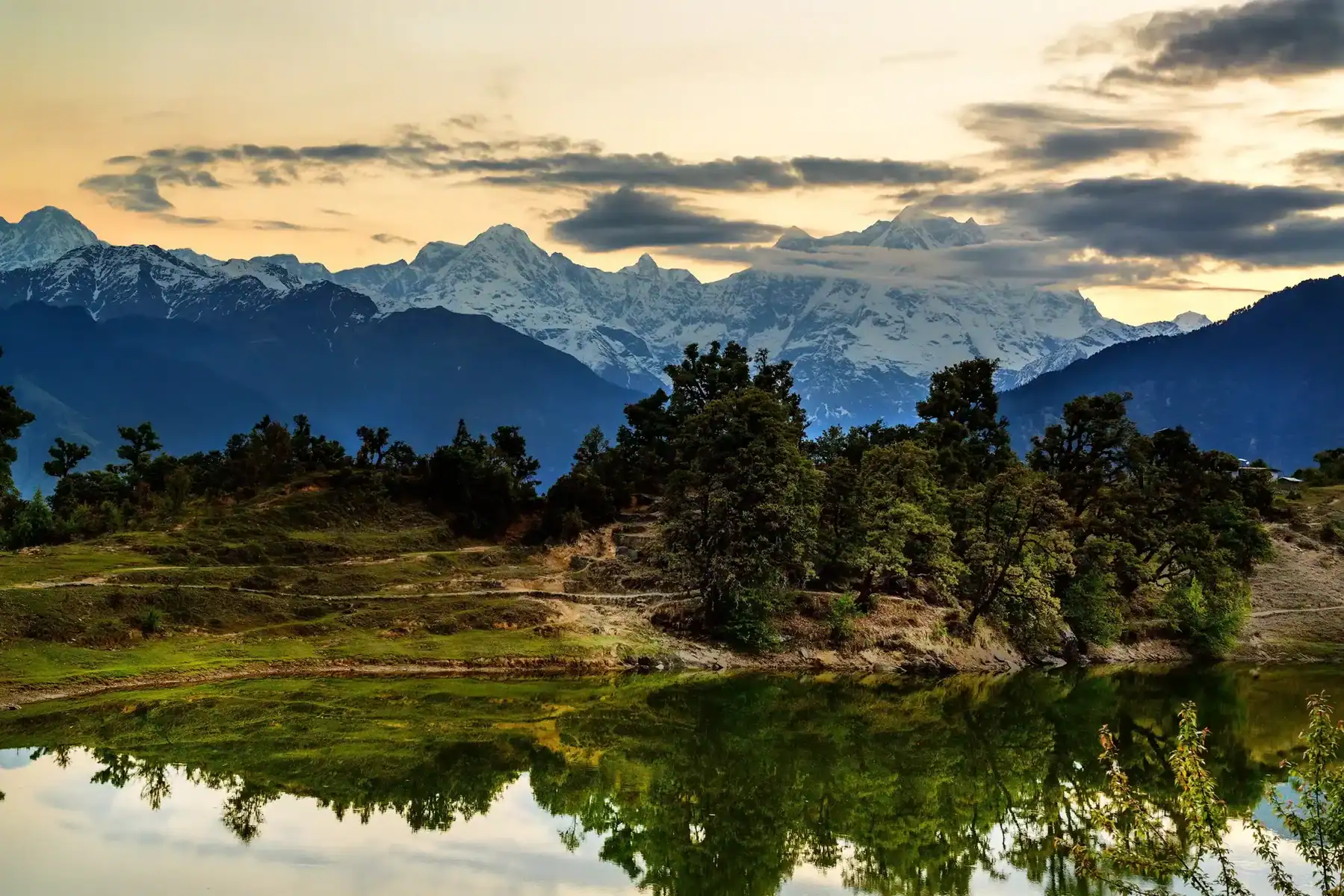
The deep virgin forests, the flowing brooks that gurgle, a breath-taking camping spots and endless meadows is the reason this trek is unique. Ali as well as Bedni Bugyal are quite famous for trekkers, but add Bagji in their ranks and you have an amazing trio of alpine meadows at high altitude. The massive meadows of this six day excursion will amaze you. It’ll be like you had entered a different world.The most breathtaking highlights of all aren’t the meadows. The views are along the trail. Particularly from the Bagji Bugyal Basecamp, and from the summit as well. The trail offers 360 degree views of all the nearby mountain ranges. The trail offers breathtaking views that include Mt Trishul, Mt Mrigthoni Mt. Nanda Ghunti, and Mt Nanda Ghunti for company. It is likely that you will spend the all night and early in the morning admiring the magnificent mountains with amazement.
Bagji Bugyal Trek Detailed Trail Information
Day 1: Reach Ghase
No matter if you’re arriving regardless of whether you’re coming from Dehradoon, Rishikesh or Kathgodam it’s a 10-minute drive to reach the basecamp at Ghase. After their first glimpses in Tharali Mount Nanda Ghunti, and Mt Mrigthoni are waiting to welcome you to the charming town of Ghase.
- Altitude: 7900 ft
- Time spent 10-12 hours of driving.
Before you reach Ghase, make sure that you have your trek equipment ready, and also make phone calls to your loved ones. There aren’t any mobile phone network in Ghase however in the event of luck, you could find one on specific spots in the Bagji Bugyal basecamp. There are gloves, jackets and caps as well as footwear in Dewal but you should buy these items in advance and don’t rely on them being readily accessible in Dewal.
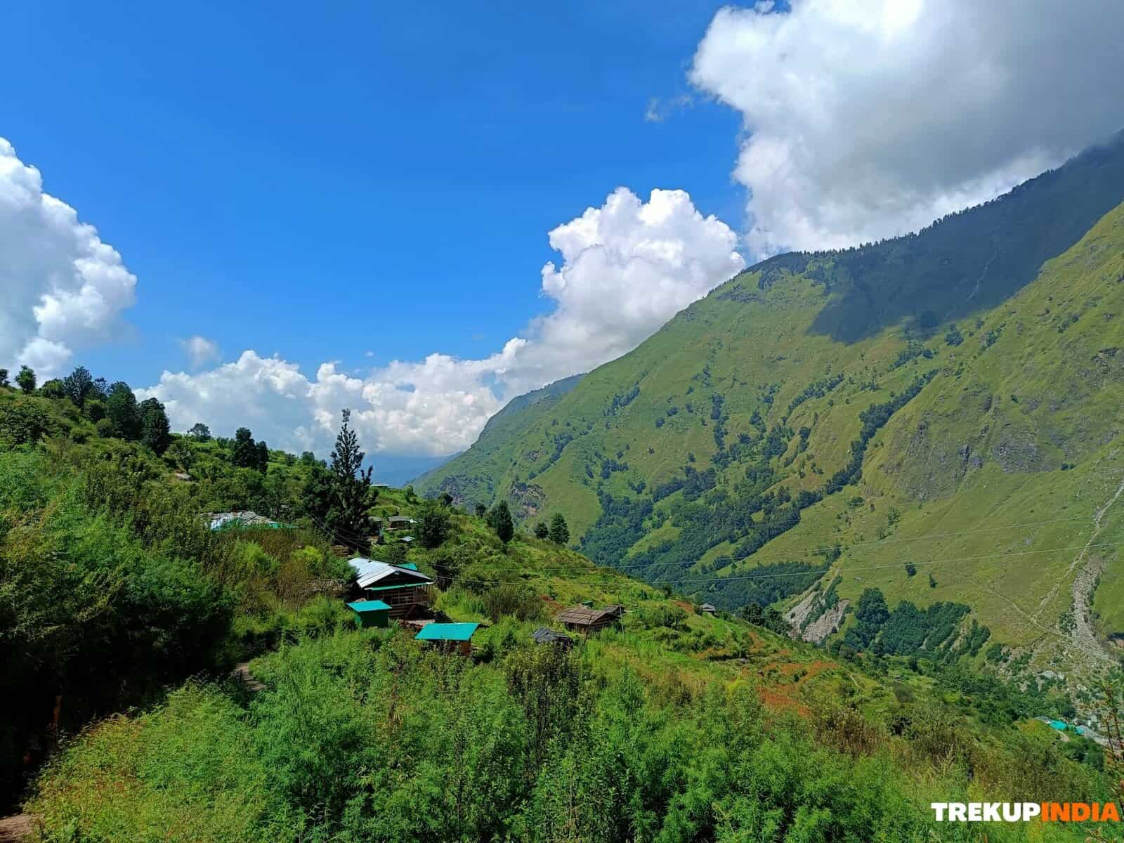
Ghase is a village of 200-250 homes spread out over 7kms of an ascent within a cluster of hamlets that are small. Ghase developed into this shape over a number of time as residents relocated from higher hamlets lower ones during the changing of the seasons. Although you may not see it as something special during your visit to the village however, you’ll see its true beauty on Day 2 as you view the village from a higher the next day’s elevation of your trek.
Day 2: Ghase to Devlikheti
- Altitude: 7900 ft to 9811 ft
- Time used between 4 and 5 hours
The gradient of the trek Gradual ascent, with a few steep ascents through the forest and rough patches water sources
Water Sources: Fill up your water bottles prior to departing base camp. There is one water source in Samrata village one hour after leaving base camp. Make sure to fill your water bottles with water and then follow the trail in the south-east direction, on a an ascent that is steep for the first 10 minutes. The trail climbs gradually. After 30 minutes later, look for an isolated shepherd’s hut your left. Throughout the hike, Mt. Trishul, Mektoli, Devtoli, Mragthoni will accompany you along to your left. After 15 minutes, you will arrive in a town called Samrata. The mighty mountains will be right on your back when you continue south along a plain trail. Before you begin your journey, you should know we will briefly discuss Samrata. It is the very first high mountain village to be found on a the trek and is located at 879 feet. The village is made up of hamlets, and a few small fields , they grow vegetables that are seasonal like rajma, wheat, and rajma. Pinder valley appears endless from this.
When crossing Samrata Head south-east and the trail climbs uphill for about 150m. The climb can take up to 30 minutes, and at the top, you should take the most extreme left of the four trails you will see. 15 minutes of gentle jungle ascent in the north-east direction will take you to the Guru Mandir. The temple bells will be sounding while you observe the flags fly in the sunshine. Keep going straight along the trail and keep the temple to your left. After about an hour and a half, continuing along the trail with the gradual ascent and flat trails you’ll be at your first campsite , Devlikheti. From Devlikheti you will see Brahmatal Top looking at you alongside Ajan top to your left. Navali Bugyal is at the eye level, and 100 years old Rhododendros guarding the campsite.
Day 3: Devlikheti to Bagji Bugyal Basecamp
- Altitude: 9811 ft to 10600ft
- Time spent from 3 to 4 hours
The gradient of the trek Gradual ascent, with some sections of ascent that are steep and some sections of descent beginning with a walk through the jungle at the beginning of the trail.
Water sources: There’s a water source that you can find on the trail. When you arrive at the campsite, hike to 100m in direction of Mt Trishul from the Forest Department cabins. There you’ll see a water source. Get ready for your first ascent of 30 mins close to your campsite to get the trail caught in the W Direction. The trail, then gradually , moves towards the north-east. Take this steep climb over 30 mins in a zig-zag fashion since the ascent can be steep, and walking in a zig-zag fashion aids in getting it done. After you have successfully negotiated the first few hours are gradual in climbing. There’s a glimpse of Bagji Bugyal. Be careful even if it looks like it’s dark. It’s because the forest and the steep slope around it don’t allow sunlight to illuminate the bugyal. You can take a break here an extended period of time. It’s not just to refuel, but also to take in the sounds and smells of the forest. Another 15 minutes of gradual ascent, and Mt Trishul and Mektoli are visible once more. Grab your cameras and hit the shutter release button several times. It’s a stunning breathtaking sight to see. Bagji Bugyal Basecamp takes an hour long hike from here, the same direction for an hour and. From here, for the for the first time Chaukhumba to your left and Kedar dome rising out of clouds. Then you’re done with the day. Bagji Bugyal summit is a 45 minute climb to the summit in the morning.
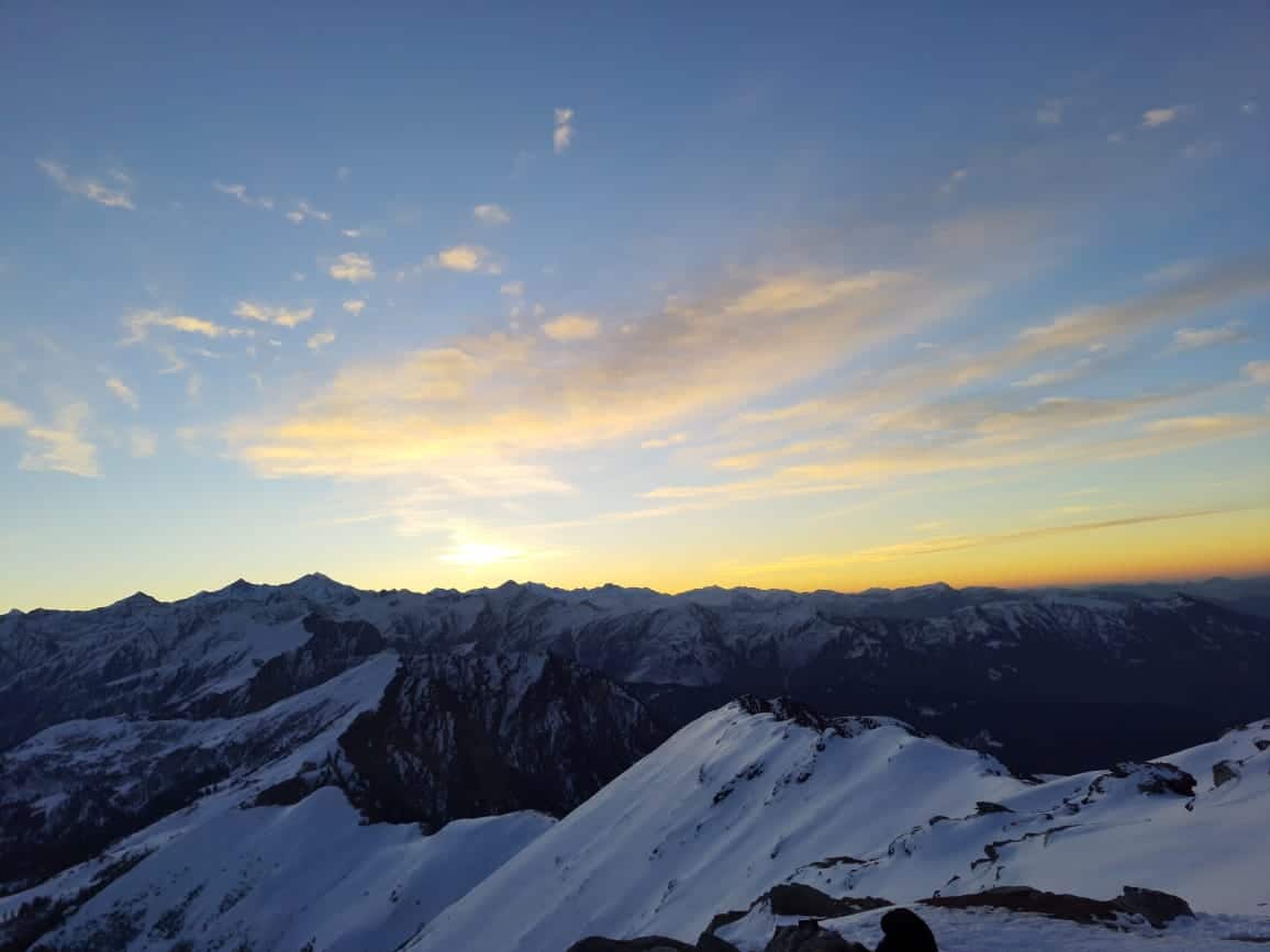
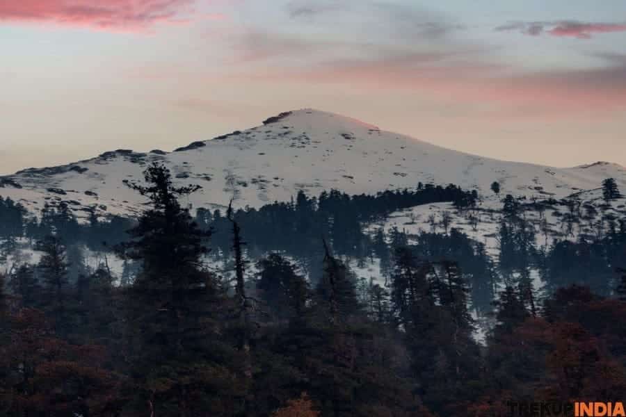
While you look out at the mountains that surround you while sipping your cup of tea, it will be impossible to not be taken by the magical patterns that these shades create. On one side of the meadow there is Garhwal, Kumaon ranges in red, and a variety of colors of it. On the other hand, you can watch the sun sink into the clouds that surround Narvali Top. The last few rays of sun hit the mountains, the mountains change color from dark orange, to red, and then cold white. Have a delicious meal before you start your day, before slipping into your bed. Next morning you summit Bagji Bugyal top.
Day 4: Bagji Bugyal Basecamp to Dhulamb via Bagji Bugyal top
- Altitude: 10600ft to 9870 ft via 11100 ft
- Time used from 4 to 5 hours
The gradient of a trek: A half and half mixture of ascent and descent in meadows, forests, and ridges.
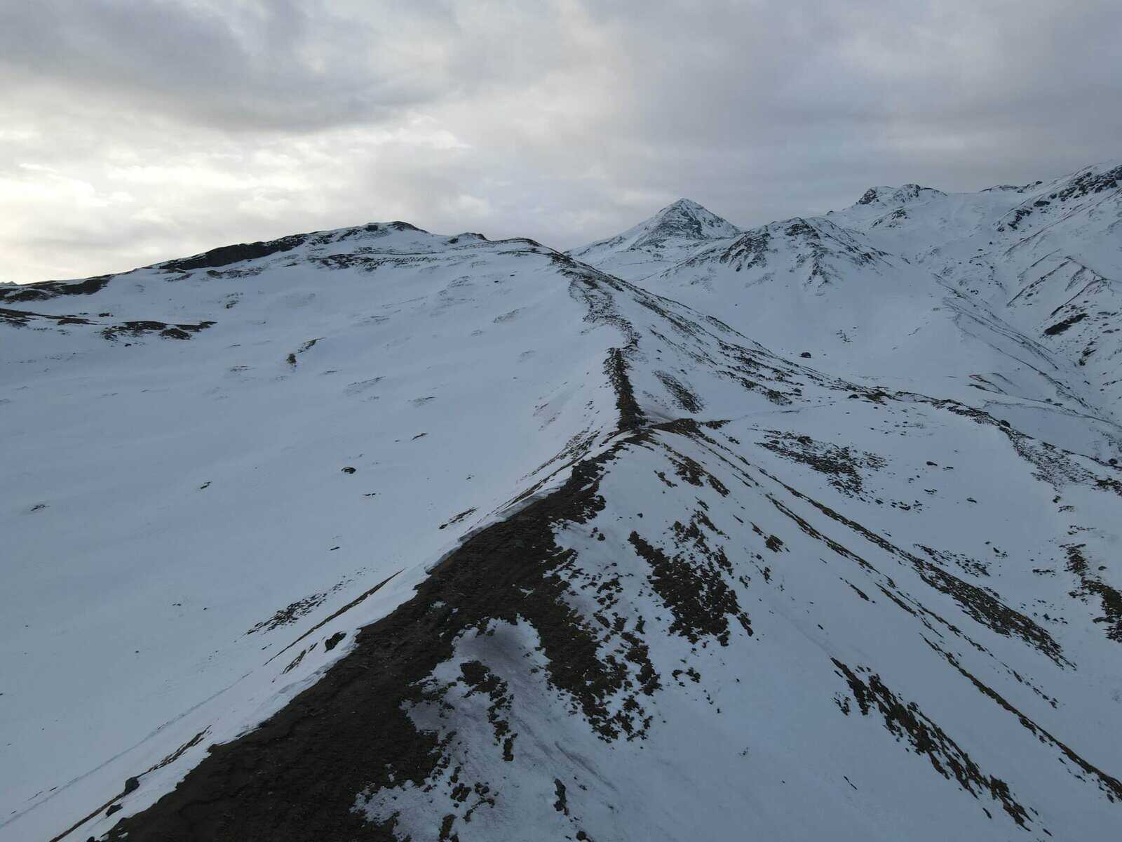
Water sources: There aren’t water sources on the trail. Therefore, make sure to have your water bottles topped up prior to leaving the campsite. There is water available at Dhulamb campsite, however. Begin before sunrise and go toward the summit, which takes 45 minutes of ascent in the north-east towards the camp site. Enjoy the sunrise from the summit and then spend 30 minutes enjoying the dawn’s first light. Views from the top are worthy of the morning up call. The view will include Balan valley, which includes Balan village Dewal Ghati, Lohajung as well as the whole Roopkund route, Brahmtal top, Ali Bugyal, Kaali Daak, Mt Trishul Mt Nanda Ghunti, Mt Devtoli Mt Mrigtoli as well as Mt Mektoli and Kaalitaal. After taking in the 360-degree perspective of the landscape that is not common in the Garhwal Himalayas, is the descent.
Take a walk for 15 minutes through the grassy meadows in Bagji Bugyal keeping Mt Trishul before you.From the top, it’s an ascent that takes 45 minutes through dense forest. Near the end of the descent, you’ll find small pastures that you can walk to the ridge that is heading towards north. It’s a gradual hike upwards and downwards for about 2 hours . From here it’s gentle ascents, gradual descents over the next 2 hours. You’ll pass through Buniya meadows, where you can encounter shepherds and their cattle and sheep. It’s a great spot to stop to stretch your legs and drink some water before you begin your 30 minutes ascend of the morning. It will be the last climb of the day you continue your hike to your left towards the north. In about 30 minutes you’ll be at Dhulamb which is your camp site for the duration of your trip. Dhulamb campsite is situated in a tiny patch of meadows, surrounded with oaks. If you’re a fan of birds go to the source of water that is near the campsite and you’ll hear the chirps of many birds, and you might even you can spot some.
Day 5: Dhulamb to Himni
- Altitude: 9870 ft ot 8400 ft
- Time taken: 4 hours
The gradient of the trek: A descent through meadows and forests, some of which are steep , but mostly flat otherwise.
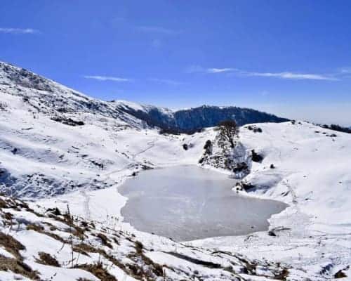
Water sources: There are a few sources of water along the route, one of which is a tiny lake surrounded by grassy fields and the other one being a the water reservoir in Himni village. The final morning of your trek starts close to the source of water. A gradual climb of 10 minutes will take you to a smooth path which runs to the southwest for approximately 30 minutes. After arriving at the meadows that are situated at the top of a hill start your descent at the top of your hike. The first indication of civilization is what’s known as”chaniya” and a small huts, and farm animals. Follow the trail to your left, in the southwest direction for about an hour or so until you come across the pond, which is surrounded by a grassy areas and oak trees to your right. It’s a great spot to fill your water bottles when you’ve emptied them or simply to relax and take in the views. Another half hour along the trail, you’ll discover a reservoir for water which is the water source to Himni village. A half hour later, you’ll reach Himni village. Look around at the small houses and the villagers in the fields , and children playing. This is the way life in many of the villages in this region is going on.
Day 6: Himni to Dehradun/Kathgodam/Rishikesh
The next day, get a bus or a shared jeep to the closest airport or railhead and continue on towards your home. The trek starts in the Ghase/Ghes village (will be a rhyme for chase) just a little to the east of Lohajung. Around 25 kilometers before Lohajung prefers Ghase, the town of Dewal. It is here that you can take a off into the nearby village Ghase. The base camp of the trek. Ghase is a charming village located in the Chamoli district of Uttarakhand and is awaiting you with views from the mountains of Nanda Ghunti and Mrigthoni.
How To Reach Base Camp
Train
via Kathgodam via Kathgodam: If you are coming from Delhi to Kathgodam, travel overnight on the Ranikhet Express to reach Kathgodam in time for 5.00 at dawn. After a quick cup Chai, you can take an individual taxi to reach the Ghase village. Ghase. The trip is priced between the range of Rs 5000 to 6000 and will take between 10 and 12 hours. There are also shared jeeps departing from Kathgodam that will take you towards Ghase by way of Almora, Kasauni, Gwaldam, Dewal.
via Rishikesh via Rishikesh: Another alternative is to travel via Rishikesh. Take one of the trains that overnight that runs from New Delhi to Rishikesh and then ride a shared jeep from Rishikesh to Karnaprayag and then continue to Ghase by changing jeeps in Tharali or Dewal.
By the air
There is also the option of flying to Dehradoon from where you can transfer in a shared jeep to Karnaprayag and follow the exact procedure as mentioned above.
By bus
There are frequent overnight buses running from New Delhi to Dehradoon, Rhishikesh (from Kashmiri Gate ISBT) and Kathgodam (from Anand Vihar ISBT) and then it’s the same route as mentioned in the previous paragraph.
Dates For Upcoming Treks
Want To Trek Like Pro?
Basically, watch these videos if you want to trek the same way professional trekkers do and make your skills better. These videos contain useful tips and techniques to further improve your trekking skills itself. These videos actually help both new and experienced trekkers improve their trekking skills. These videos definitely provide useful tips that make your trek better. We are seeing that these videos by Trekup India experts will only help you make your trekking skills better.




Know Everything About Acute Mountain Sickness
Acute Mountain Sickness occurs when people trek to high altitudes above 8,000 feet. This condition itself develops further due to reduced oxygen levels at such heights. Basically, as you go higher up, the air pressure and oxygen levels decrease, which causes the same problem. Acute Mountain Sickness surely causes headache, nausea, vomiting, and dizziness in affected persons. Moreover, peoples also experience difficulty in sleeping during this condition. To avoid mountain sickness, you should actually trek up slowly to higher altitudes. To learn further about this condition itself, watch the videos by Trekup India.
