Aane Gudda Trek
Aane Gudda Trek
- Region
Karnataka - Duration
1 Day - Trek Grade
Easy - Maximum Altitude
4,415 ft - Best Time For Trek
October – March
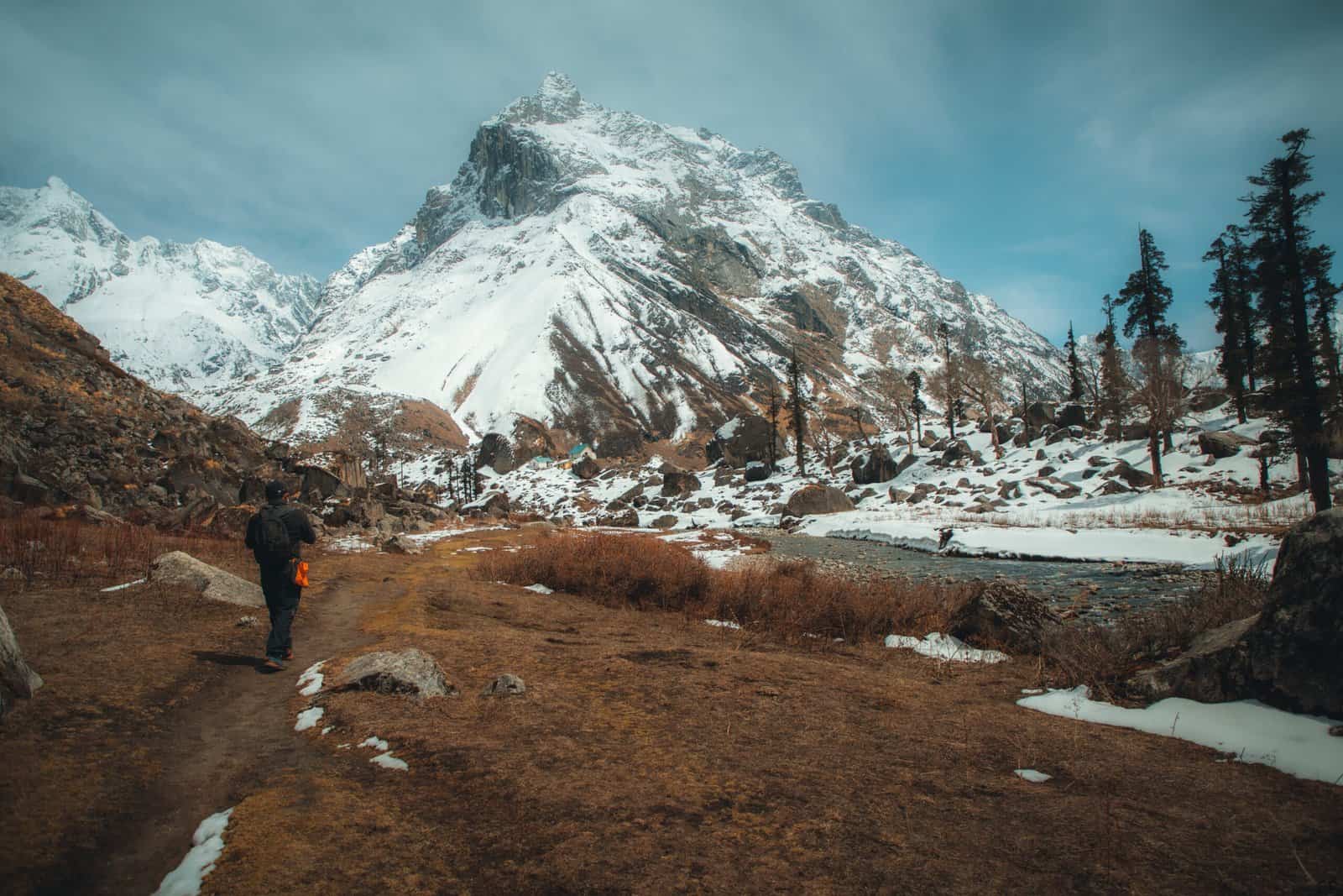
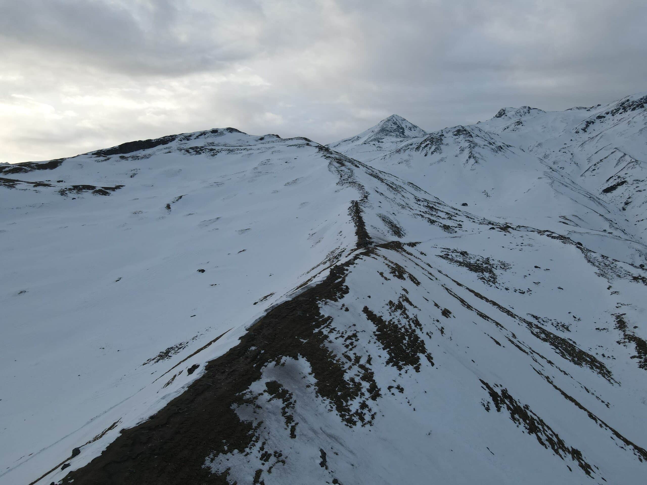
Aane Gudda Trek is located in the Badra region of Karnataka. The route is relatively flat and crosses the same terrain as other west ghat treks. The hike ends in the Aane Gudda hill, where you’ll have to cross a stream and find 3 conspicuous fragments. The first cave is unexplored and has no water, but locals say there are pythons, vipers, and goats galloping around.
The Aane Gudda trek is an excellent one-day adventure in the Western Ghats. The trail takes you through Shola forest and opens onto a meadow. The final part of the hike takes you up a steep hillside and past waterfalls and bubbling brooks. The trek can be enjoyed at any time of the year, but the best time to go is after the monsoon season, which is from late September to early February.
The Aane Gudda trek is an exciting one-day trek through the pristine forests of the western Ghats. The route passes through a lush forest of Shola trees, and then opens up to a plateau of grasslands. It also features a picturesque waterfall. The trek is best done after the monsoon season. The trail is most scenic from late September through February. It’s best to plan your visit during these months to avoid the tourist rush.
Best Time for Aane Gudda Trek
The most suitable time to go on this trek Aane Gudda Trek is from September’s end until February. This is the season that is post-monsoon until pre-summertime. Also, any time between the months of September and February is the ideal time to travel here. It is not possible to traverse the waterfall section during monsoons. In summer, it will be extremely hot to walk following clearance of the section of forest.
Highlights of Aane Gudda Trek
- Views of the Meruthi hill, Kudremukh, Ballalarayana Durga
- An aerial view Haluvalli, Kalasa and surrounding region.
- A trip through a small portion in the Shola Forest
In contrast to other treks in the western ghats such as Kopatty, Ballalarayana Durga trek that requires many hours in the forest section in this trek this forest area is small , and is a good place for novices to gain a sense of the experience of trekking across Shola forest. Shola forest. The forest is brimming with diverse trees. Starting with Sandalwoods, Acacia, Bay leaf tree , and more. Walking across the forests, you can feel the leaves crunching under your feet. There is also the gentle flow of a stream cutting across. If you’re lucky enough to you go right after the monsoon, you may be able to view this waterfall, too.
Aane Gudda Trek Detailed Trail Information
Part 1. Junction Halluvalli up to Start point of trek
- Trek Distance: 5 km
The trail to Junction Halluvalli up to the Start point of the trek begins at the end of a dirt road. If you cannot find a parking spot, ask permission from the owner of the property or steer your car to the other side of the road. The trail will start at the edge of farmland and quickly ascend to a forest section. The first 15 minutes are spent walking through a stream. Then, the path will cross a waterfall.
Once you reach the junction, the road will turn away from the main road and ascend a mountainside. There are two small lakes along the way. Approximately five and a half miles from the start point, you will find a campsite. There will be plenty of water and established campsites. The hike will last approximately 6 and a half hours. You will have a complete view of the mountains and valley below.
The road to the starting point of the trek begins along a dirt road, which becomes steeper after a few minutes. It turns sharply away from the main road and starts ascending a mountainside. Once you reach the saddle point, you will be greeted by breathtaking views. It will take an hour and a half to reach the summit. The trail to the start point of the trek is approximately two and a half miles long.
From Junction Halluvalli, head northward. From here, you’ll see a signboard pointing to the start point of the trek. After this, the road will turn sharply away from the main road and climb up the mountainside. Eventually, you’ll reach the summit after about 5.5 hours. A great day to begin your adventure is at the end of the trek. You’ll be rewarded with spectacular views and the chance to enjoy a relaxing afternoon.
Part 2. Start Location (Last home) up to Coffee Plantation
- The Trek Distance is 680 meters
If you begin from the dirt road, it is necessary to go to the final house along the trail. If you’re driving along you could get permission from the owner, or steer the vehicle towards the other side of the highway. The hike begins from the edge of the farmland. A short trail begins to ascend to the forest section quickly. The gentle stream is flowing to the right side of you while you walk and after around 15 minutes you can encounter a waterfall you must cross.
Be cautious when crossing this stretch. When there’s water in the area, these stones can be extremely slippery due to the moss-covered rocks. The trail follows a left curve , and then you can enjoy an easy climb. The forest is full of an array of trees. From Sandalwoods, Acacia, Bay leaf tree, and many more. You can hear the stream as they pass through the forest. Birds are plentiful also. For instance, the Greater Racket Tailed Drongo with its stunning tail continues to glide in the woods and the bee-eaters’ green attack the bees and insects that roam the forest. Parakeetsand drongos, Hornbills and sunbirds are just some of the many species that can be mentioned.
According to local sources Local sources, there have been some occasional sightings of wild bison as well as wild pigs throughout the region and in the forests. Other than that, there are no wildlife to be afraid of. The trail is straightforward to walk from this point and there aren’t any crossroads. Follow the trail that is well-known for about 20 minutes more and you’ll come to an unfenced barbed fence that is a different coffee farm or plantation.
Portion 3: Coffee Plantation to Aane Gudda Peak
- Trek Distance: 620 metres
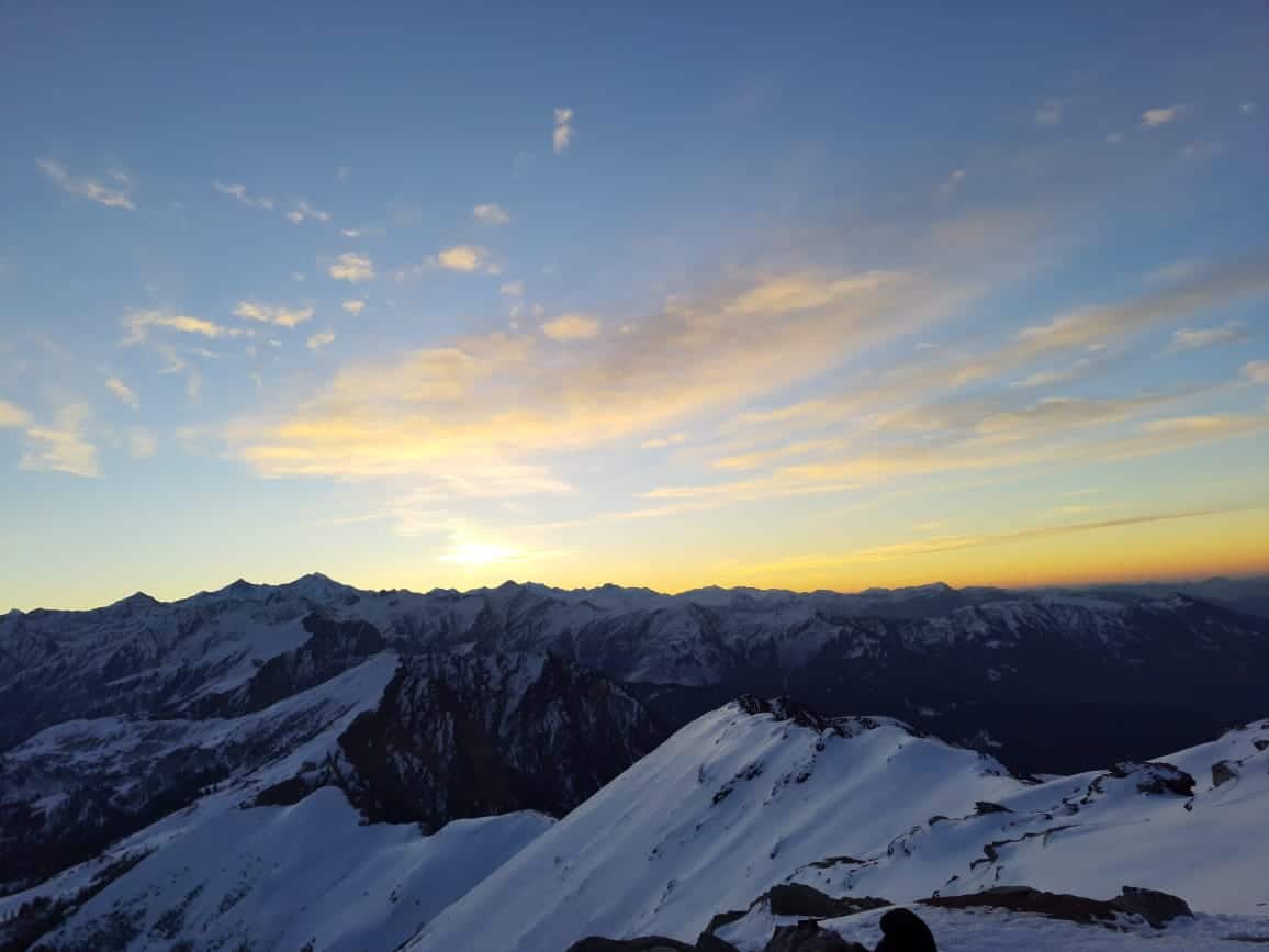
You will reach the Aane Gudda trek’s saddle, which is the highest point in the trek. From here you can enjoy a panoramic view of the Badra River, which cuts through the Badra towns. A beautiful pattern of green and blue stretches from the river to Kudremukh, a towering peak. From here, you can enjoy the magnificent sunrise and sunset from the hill.
The first stage of the trek begins with a gentle climb towards the waterfall. After about ten minutes of steady climbing, you will reach the grasslands and take a break. The steep ascent continues for another half hour, resulting in a 60-degree angle. The best way to climb up to the top is to follow a zigzag path. This is a great option for those who want to take their time and enjoy a scenic hike.
After the first hour of the trek, the ascent becomes steeper. It ends with the tree line and enters the grasslands. This section is very scenic and has many waterfalls. You must continue the ascent for a further half hour to reach the top. The saddle point of the trail is 60 degrees, so it’s best to follow a zig-zag path.
The Descent is identical to the way you came down and will take less time as when compared to the climb. It will take approximately 1 hour and 15 minutes to return to the point where you started at the top.
Dates For Upcoming Treks
Want To Trek Like Pro?
Basically, watch these videos if you want to trek the same way professional trekkers do and make your skills better. These videos contain useful tips and techniques to further improve your trekking skills itself. These videos actually help both new and experienced trekkers improve their trekking skills. These videos definitely provide useful tips that make your trek better. We are seeing that these videos by Trekup India experts will only help you make your trekking skills better.




Know Everything About Acute Mountain Sickness
Acute Mountain Sickness occurs when people trek to high altitudes above 8,000 feet. This condition itself develops further due to reduced oxygen levels at such heights. Basically, as you go higher up, the air pressure and oxygen levels decrease, which causes the same problem. Acute Mountain Sickness surely causes headache, nausea, vomiting, and dizziness in affected persons. Moreover, peoples also experience difficulty in sleeping during this condition. To avoid mountain sickness, you should actually trek up slowly to higher altitudes. To learn further about this condition itself, watch the videos by Trekup India.
