Laya Gasa Trek
Laya Gasa Trek
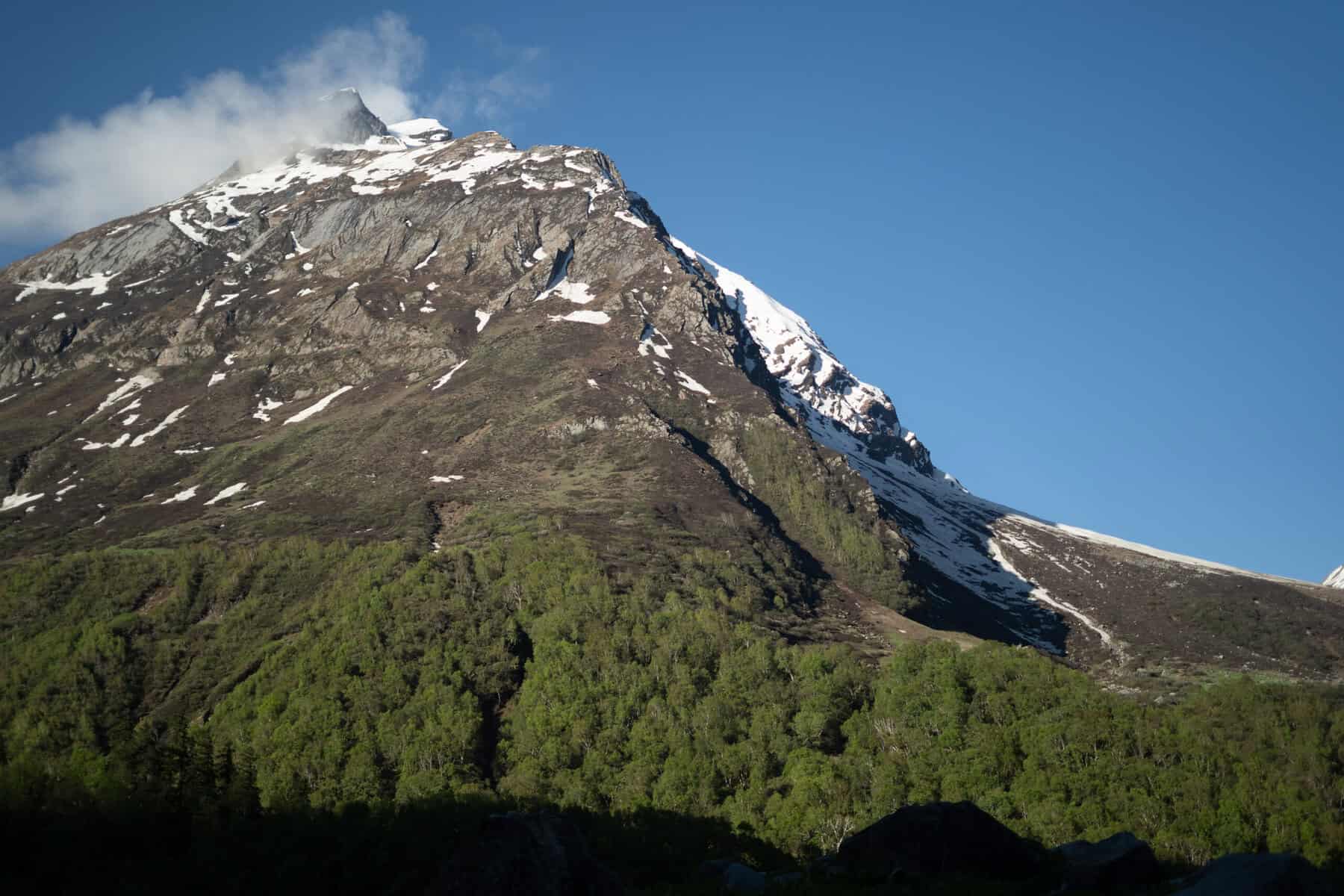
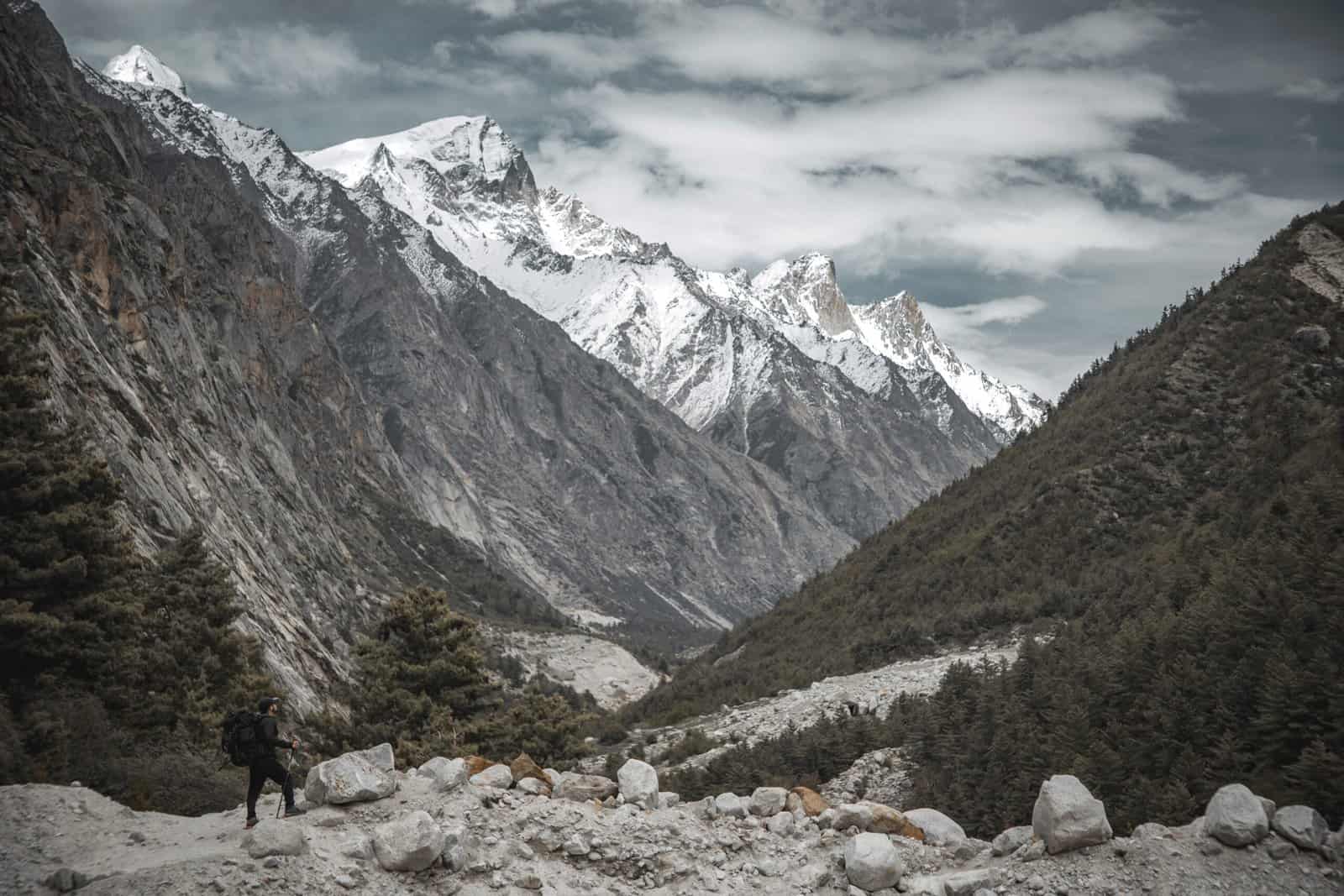
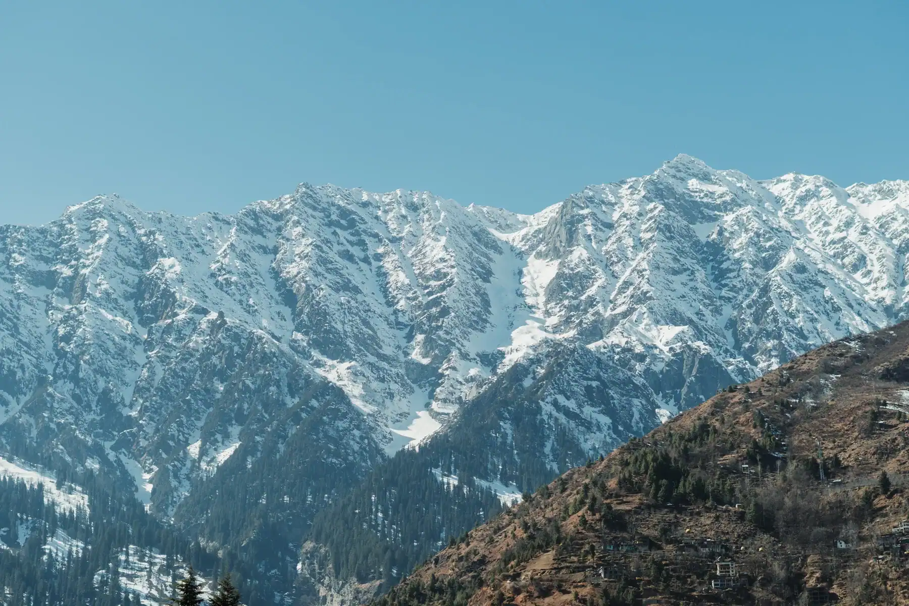
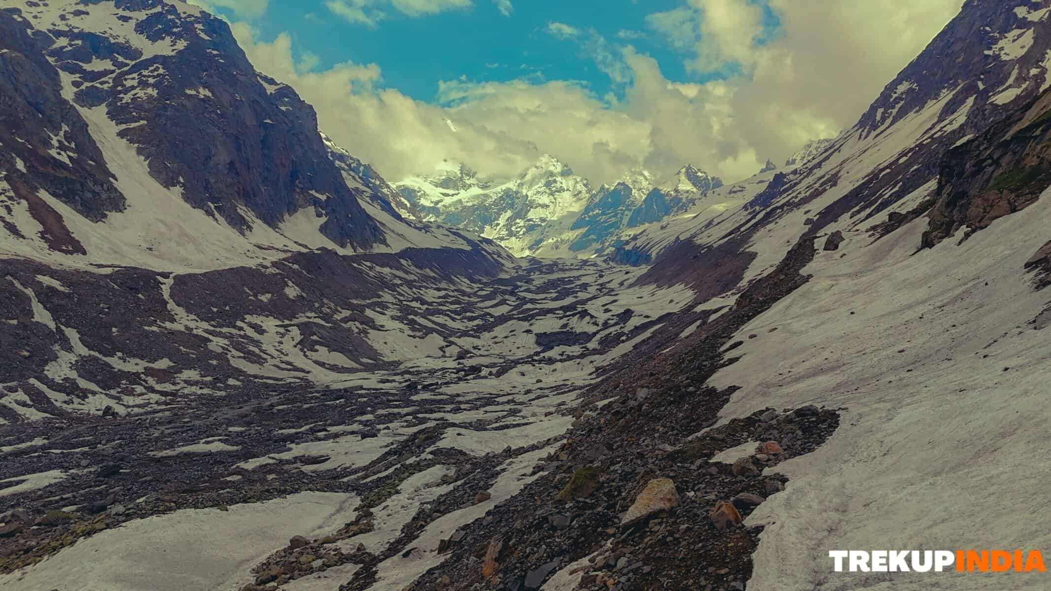
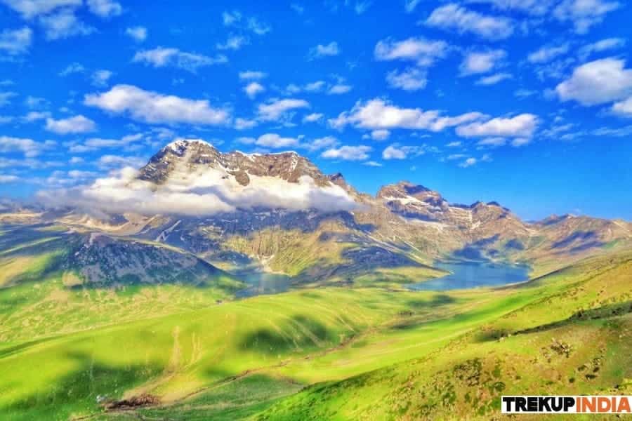
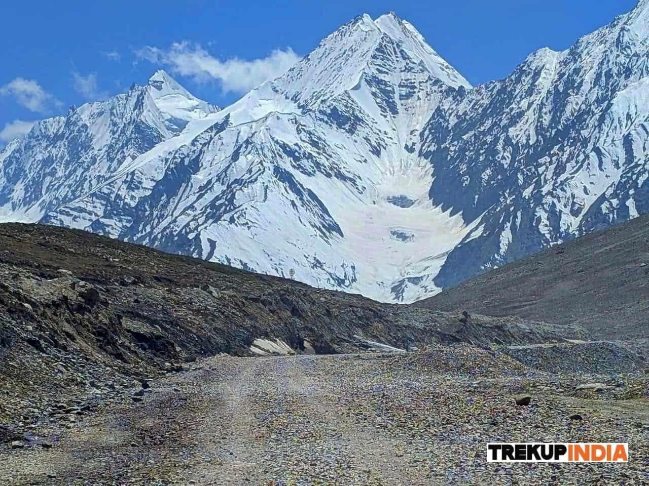
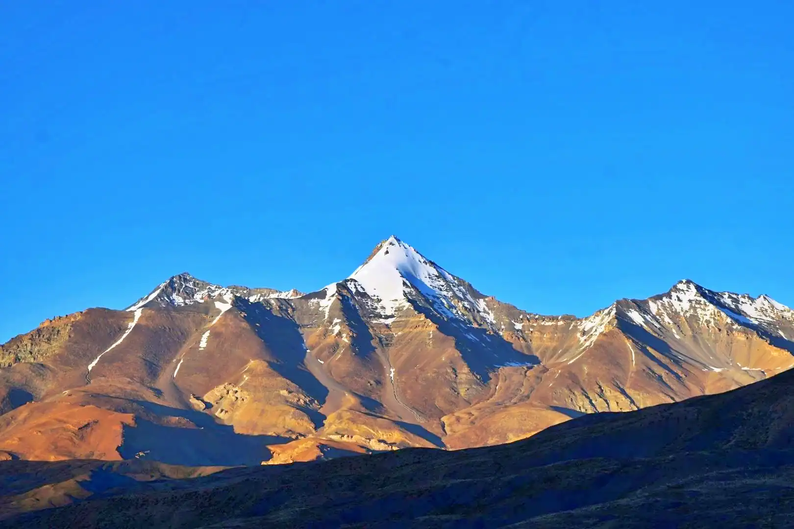
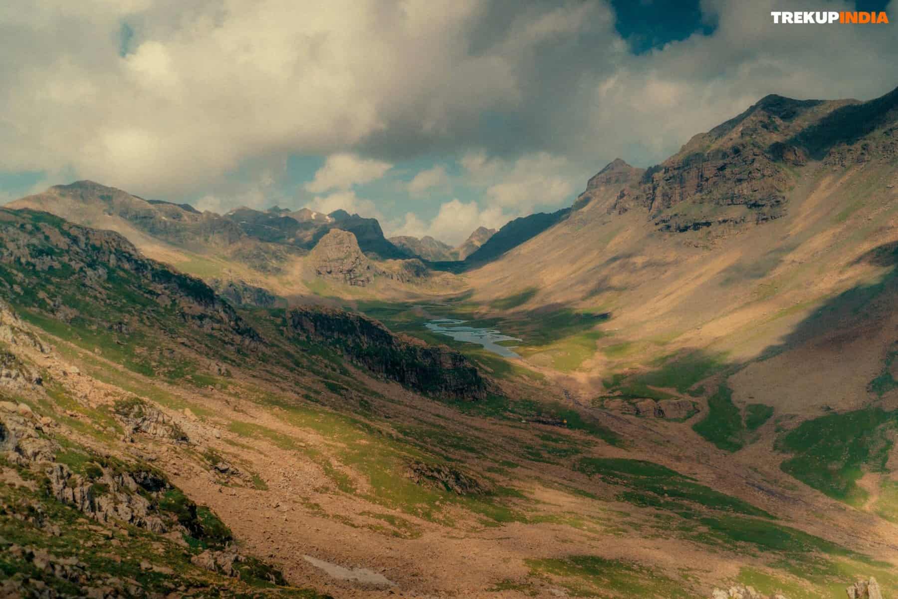
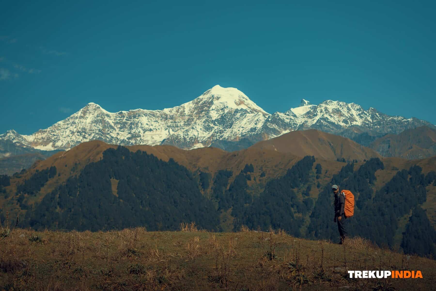
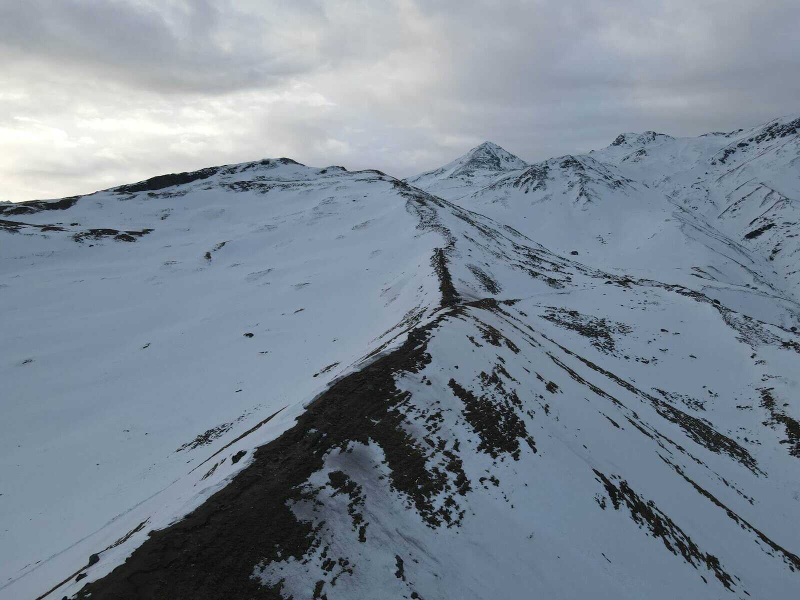
The Laya Gasa Trek in Bhutan is an utterly spectacular long-distance hike, following the Tibetan border and offering unparalleled views of some of Bhutan’s most unspoiled and magnificent landscapes. Beginning at Paro’s Drugyel, this trek winds its way through tranquil alpine valleys and breathtaking mountain passes, offering panoramic views of iconic peaks such as Jumolhari, Jichu Drake, and Tsherim Gang. As you journey through the remote and picturesque village of Laya, you’ll experience first-hand the rich traditions and culture of the Layap people as you spot wildlife such as blue sheep and Takins along the trail. At Gasa, a relaxing soak in natural hot springs offers a soothing conclusion to your trekking adventure.
Trek Itinerary of Laya Gasa Trek
DAY 1 – Paro to Shingkarap
Short Drive, Begin Trek
DAY 2 – Sharna Zampa to Soi Thangkha
The path continues along Pa Chhu (Paro River), weaving its way up and down forests of pine needles, oak leaves, and spruce needles. A delicious lunch will be provided once crossing over onto the river’s left bank via the bridge; after lunch, continue walking alongside the river, passing rhododendron forests, then crossing the bridge again on the way upstream towards the campsite situated at elevation 3750m.
DAY 3 – Soi Thangkha to Jangothang base camp
Today’s trek may not be long, but it will require significant elevation gain as you climb above treeline. After following our camp trail to an army camp and further along the riverbanks, enjoying breathtaking views of surrounding mountain peaks along the way. Passing through a muddy area and a mani wall, you will enter yak territory for a hot lunch at a herder’s camp. Your journey then continues past herder settlements as well as fields of barley, potatoes, and turnips before trekking across a plateau and stream bed to reach Jangothang campsite at 4040m altitude, with stunning views of Mount Jumolhari and Jichu Drake from this idyllic campsite.
DAY 4 – Jangothang acclimatization and exploration
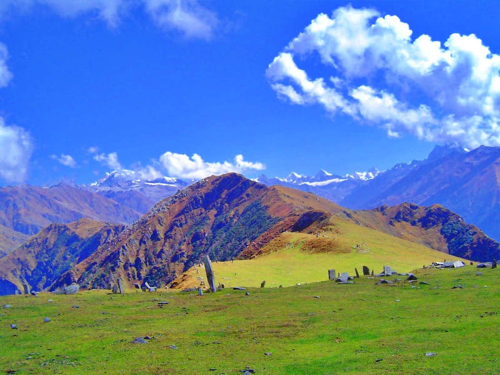
Today, embark on a four-hour acclimatization hike north of camp along an expansive, open slope without an obvious trail. Your climb will be rewarded by stunning views of Mt Jichu Drakye, which stands tall at 6989m. Are you feeling adventurous? Reaching 4895m and surpassing Mount Blanc will reveal an awe-inspiring view of Mount Jumolhari. Along the journey, keep a sharp lookout for rare wildlife such as blue sheep and unique plants such as Himalayan rhubarb or even the national flower, blue poppy. Once at Jangothang base, enjoy stunning vistas like Jangothang’s lush grassy expanse with remnants of an ancient fortress scattered throughout. As its altitude can take its toll, consider taking a short pause here so your body can adjust. Either way, this journey promises an unforgettable experience.
DAY 5 – Jangothang to Lingshi
Today’s trail will follow a stream for about thirty minutes before crossing over a bridge onto the right side. From here, it ascends slowly up a ridge that offers spectacular views of Jumolhari (7314m), Jichu Drake (6989m), and Tsherim Gang (6789m). Following this route will lead you along a relatively flat terrain towards the valley before necessitating a climb to reach Ngye La pass at 4700m elevation. From there on out, it gradually slopes downward until reaching your campsite. As you take in the breathtaking panoramic vistas of surrounding peaks and the ancient Lingshi Dzong, take time out for a side trip to see this charming fortress atop a hill overlooking Lingzhi village – historically, Lingshi Dzong served both Buddhist pilgrims as well as protected against Tibetan and Mongol invaders. Your campsite for tonight will be at an elevation of 4010m.
DAY 6 – Lingshi to Chebisa
Lingshi Dzong sits atop a hilltop, offering breathtaking vistas of lush hills, winding rivers, and majestic peaks. Historically, it served as a stopover point for Buddhist travellers as well as protecting against Tibetan and Mongol attacks. Today, visitors can enjoy strolls through nearby villages while keeping an eye out for yak herders at work; following lunch, take a short walk towards Chebisa to view a stunning waterfall before camping beside a stream at 3850m elevation!
DAY 7 – Chebisa to Shoumothang
Beginning your trek by ascending a steep ridge towards Gogu La pass (4500m), which should take about four hours. Along the way, you might catch sight of rare blue sheep near its summit. Following Gogu La, descend along a trail lined by Rhododendron bushes until reaching lunch at an appointed spot. Following lunch, your journey continues through various inclines and declines until reaching Shakepasa at 3980m where crossing streams, walking through Rhododendron forests, yak herder camps before reaching Shakepasa at an elevation of 3980m before ending up steeply ascending to reach a campsite near a stream at 4250m – arriving there overnight at 4250m!
DAY 8 – Shoumothang to Robluthang
Today’s journey begins by walking along an idyllic edelweiss-lined path and climbing to reach Jari La pass at 4700m, overlooking Kangbum peak, rising 6526m to the southeast, before descending to Tsarijathang valley, which provides summer habitat for Himalayan Takins, Bhutan’s national animal. Be wary when crossing streams without footbridges, as these may get washed away quickly! Once crossed, head left along the trail which ascends until reaching Robluthang campsite at 4200m altitude.
DAY 9 – Robluthang to Lingmithang
Today will be an exhilarating journey as you cross our trek’s highest pass. Your route will wind upward through marshy areas, crossing streams, and taking in stunning sights such as marmot holes and moraine formations along the way. Once at the summit of Shingchen La pass at 5005m, you’ll be treated to an unforgettable view of Gangchenta, better known as Tiger Mountain, at 6840m dominating the northern skyline. As you descend through a rugged rocky path along a moraine river valley to Kango Chhu River, narrow trails may necessitate wading through streams again, and cedar forests will eventually lead you to Lingmithang at 4140m for camping amidst meadows by the river and views of Tiger Mountain towering overhead.
DAY 10 – Lingmithang to Laya
Morning will greet you with breathtaking views of Gangchenta Peak. Your journey to Laya will be delightful as you pass through a lush forest rich with moss and birds chirping away – traversing this uninhabited valley can be quite the trek! Along the way, you will come upon an idyllic waterfall. At a junction, taking the upper route will bring you past fields dotted with stone houses before arriving at an elevation of 3800m at Laya village – one of India’s second-highest settlements. Take time to explore the village and visit some local houses, where you will be warmly welcomed with traditional Bhutanese hospitality, including tea and Chang (local wine). Women wearing conical bamboo hats adorned with turquoise and silver ornaments will delight. Spend the night at one of Laya’s farmhouses.
DAY 11 – Laya to Gasa to Punakha
Travel down to the military camp and connect with Mo Chhu, also known as Punakha’s Mother River. Follow its course until reaching a bridge. Once across the bridge, you must navigate several ups and downs through dense forests of juniper and fir until arriving at Koena at an elevation of 3800m. Here you will meet your vehicle and driver, who will transport you onward to Gasa village. Your journey takes you through forests of fir, spruce, and rhododendron as you descend approximately 1250m until reaching Gasa. At Gasa, you can relax in the Tshachu hot spring located below camp – this will be a wonderful way to soothe any muscle soreness after a lengthy hike! When your trek concludes today, you’ll drive straight on to Punakha Valley.
Trek Highlights of Laya Gasa Trek
- View breathtaking panoramic views of Jomolhari (7,326 m), Tsherimgang and Masagang mountains, as well as other Himalayan peaks from this luxurious hill station in Nepal.
- Laya Village (3,800 meters) is home to the Layap people. These people have distinctive clothes and customs that set them apart from other communities.
- Cross two passes: Nyile La (4.870 meters) and Sinche La (5,005 meters).
- Camp in some of the most picturesque Alpine meadows, and you could spot blue sheep, marmots, and Himalayan Griffons – or camp alone and get lucky with wildlife sightings like in Yosemite National Park or Iceland if you’re lucky.
- After your trek is complete and relaxation has taken place in the hot springs (natural gasa hot springs), take some time out to visit one of the naturally gasa hot springs for some relaxing hot bathing and rejuvenation.
- Nature, culture, and physical challenges all combine in perfect harmony to offer an ideal combination for adventure seekers.
How To Reach Laya Gasa Trek
Start your adventure in Shana, a picturesque village near Paro, after landing at Paro International Airport via flights from major cities such as Kathmandu, Delhi, or Bangkok. A scenic 1–2-hour drive will bring you directly to Shana, where your trek will start; Gasa Hot Springs marks its conclusion, from which Punakha or Thimphu await – both vibrant destinations.
Best Time to Visit Laya Gasa Trek
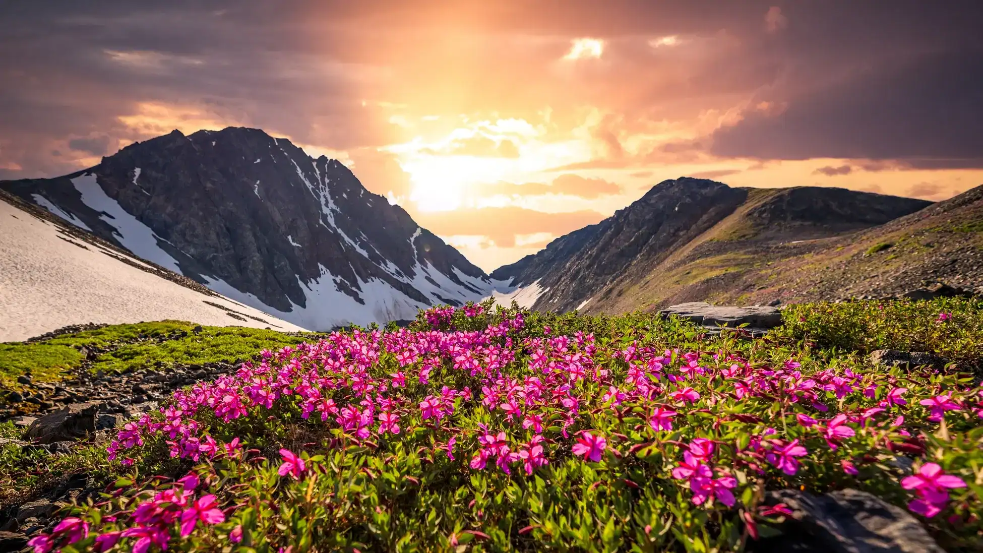
From April to June, the landscape changes into an exciting tapestry of blooming rhododendrons and lush meadows beneath brilliant blue skies. Later in September to October, however, the region experiences its ideal climate: refreshing air with breathtaking mountain vistas.
Dates For Upcoming Treks
Want To Trek Like Pro?
Basically, watch these videos if you want to trek the same way professional trekkers do and make your skills better. These videos contain useful tips and techniques to further improve your trekking skills itself. These videos actually help both new and experienced trekkers improve their trekking skills. These videos definitely provide useful tips that make your trek better. We are seeing that these videos by Trekup India experts will only help you make your trekking skills better.


Know Everything About Acute Mountain Sickness
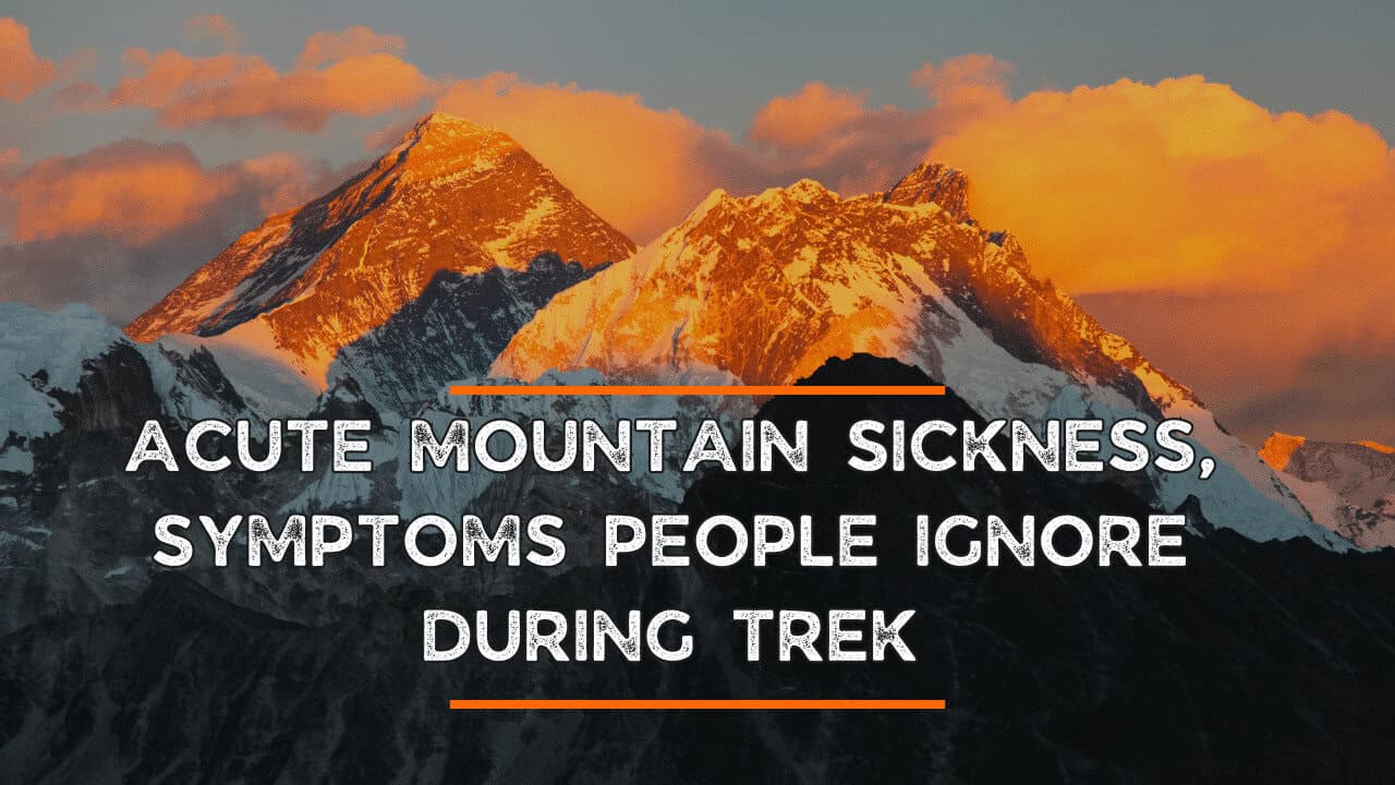
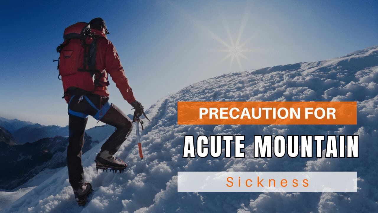
Acute Mountain Sickness occurs when people trek to high altitudes above 8,000 feet. This condition itself develops further due to reduced oxygen levels at such heights. Basically, as you go higher up, the air pressure and oxygen levels decrease, which causes the same problem. Acute Mountain Sickness surely causes headache, nausea, vomiting, and dizziness in affected persons. Moreover, peoples also experience difficulty in sleeping during this condition. To avoid mountain sickness, you should actually trek up slowly to higher altitudes. To learn further about this condition itself, watch the videos by Trekup India.
