Gorichen Trek
Gorichen Trek
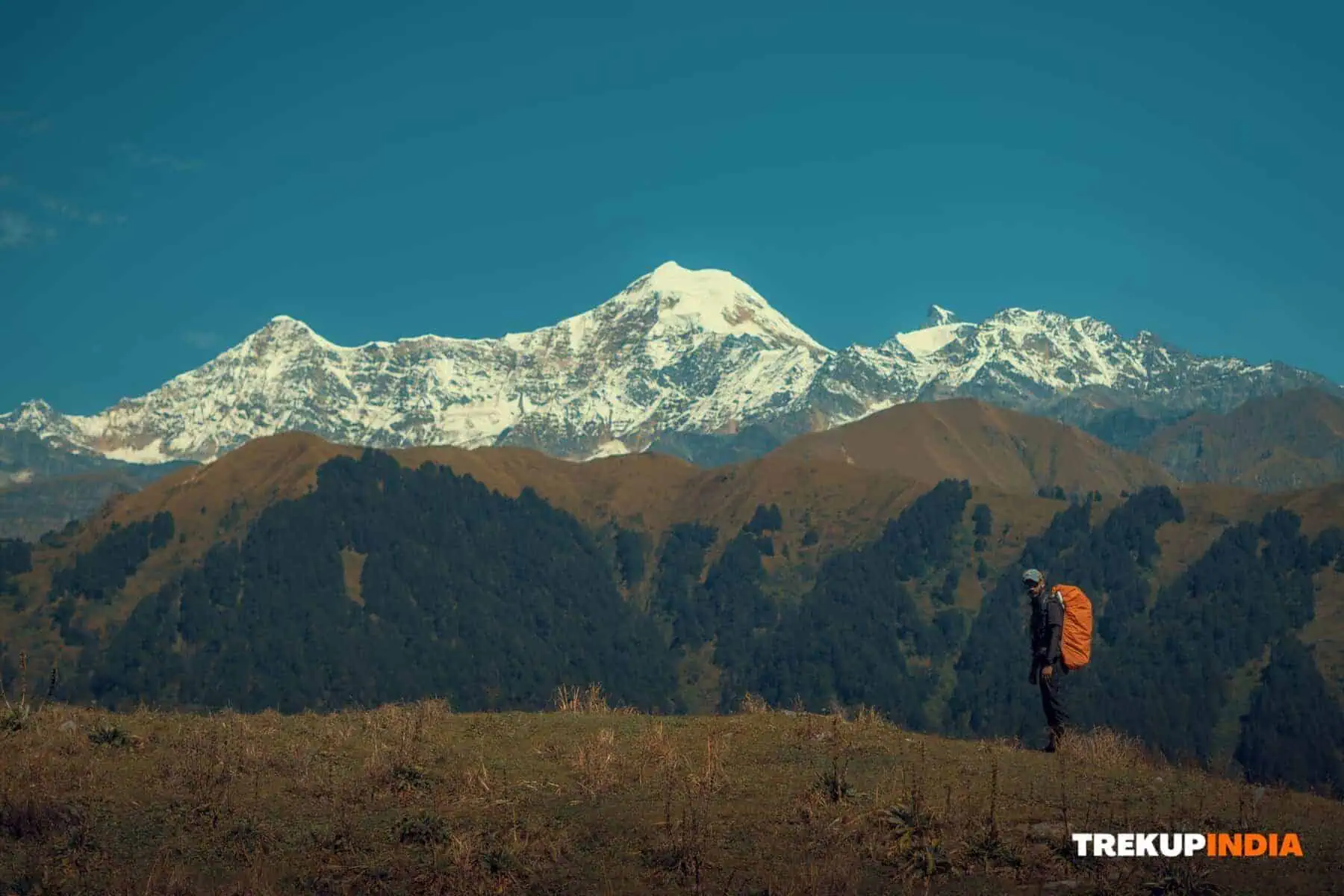
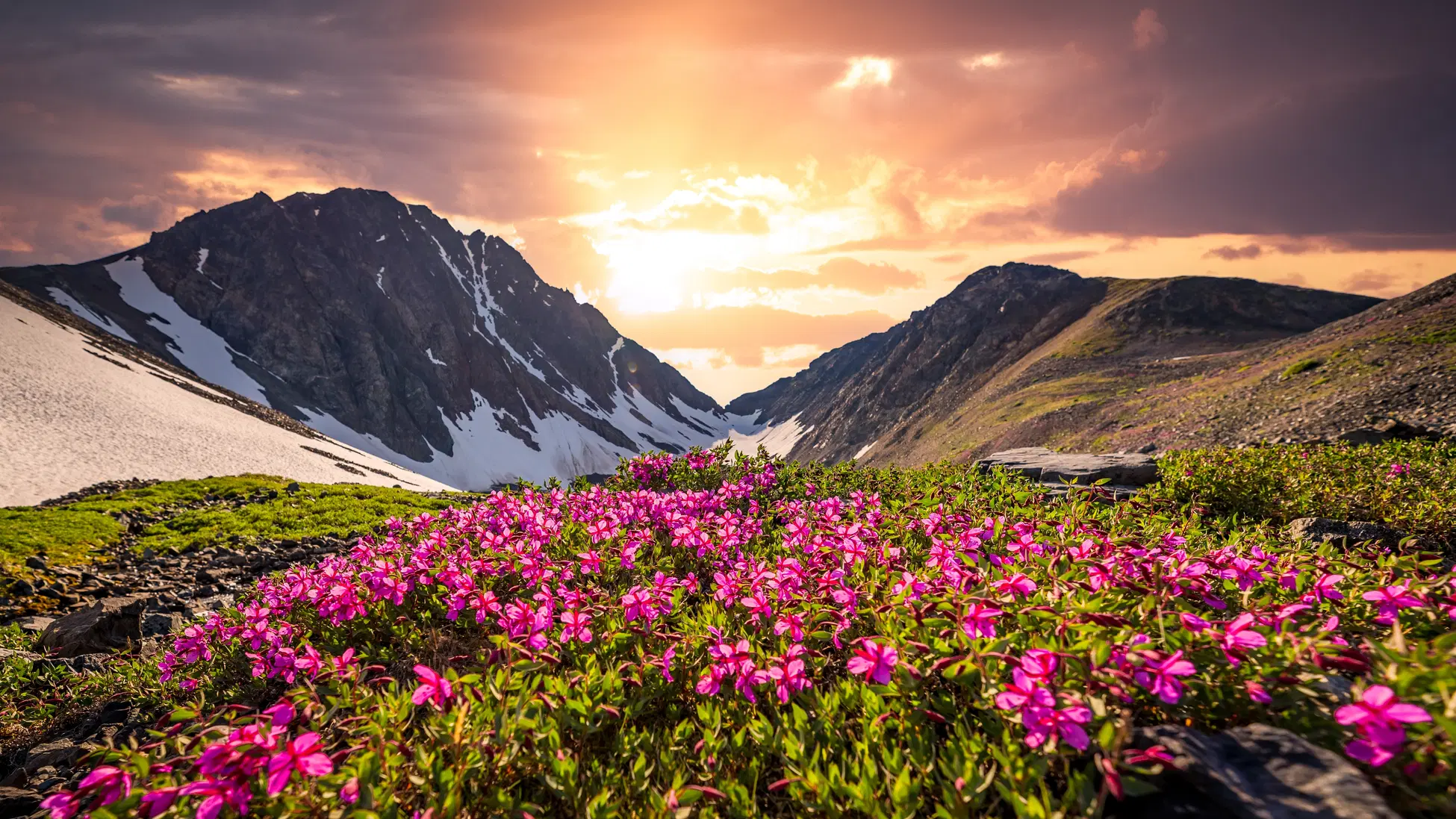
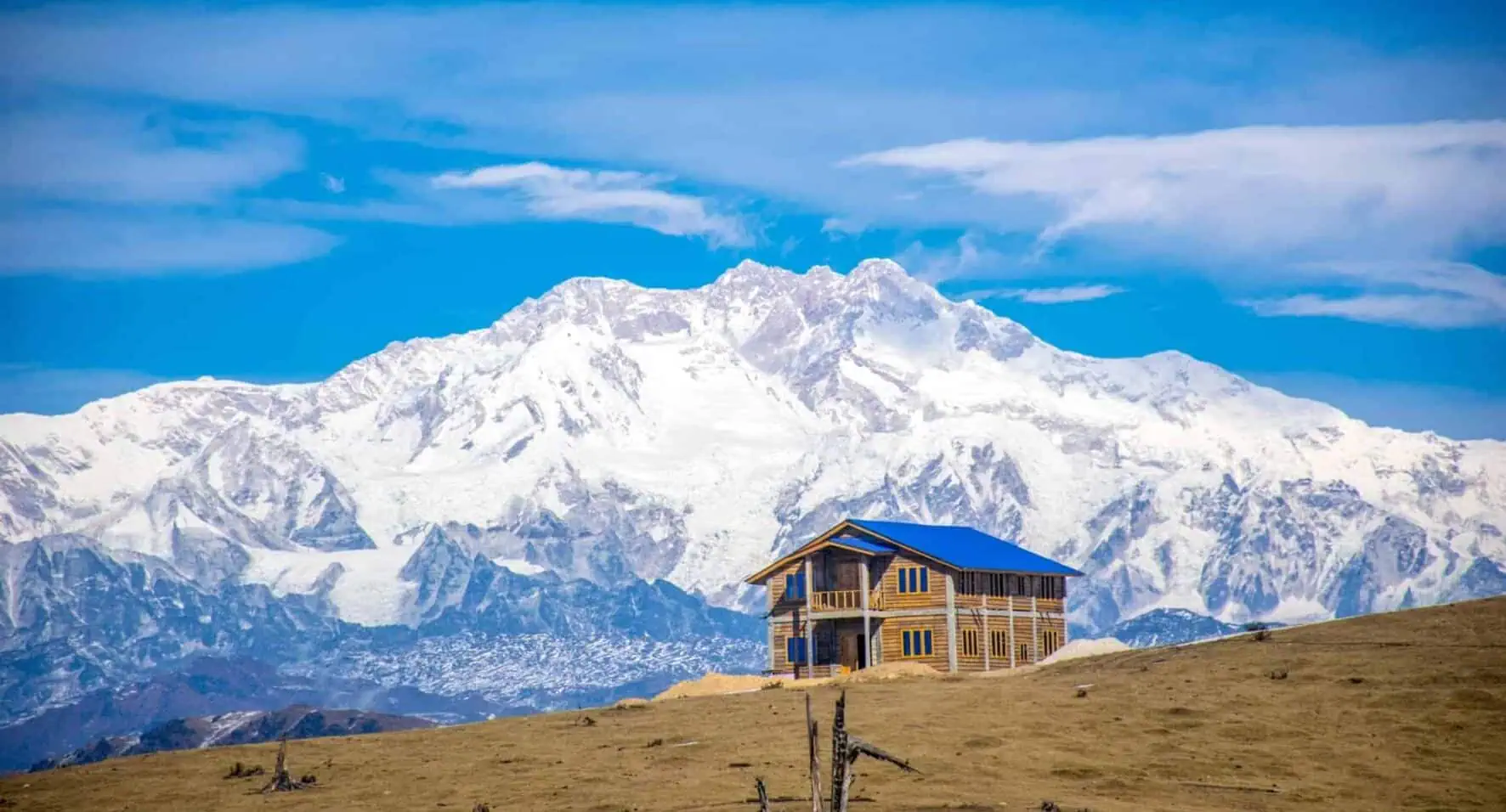
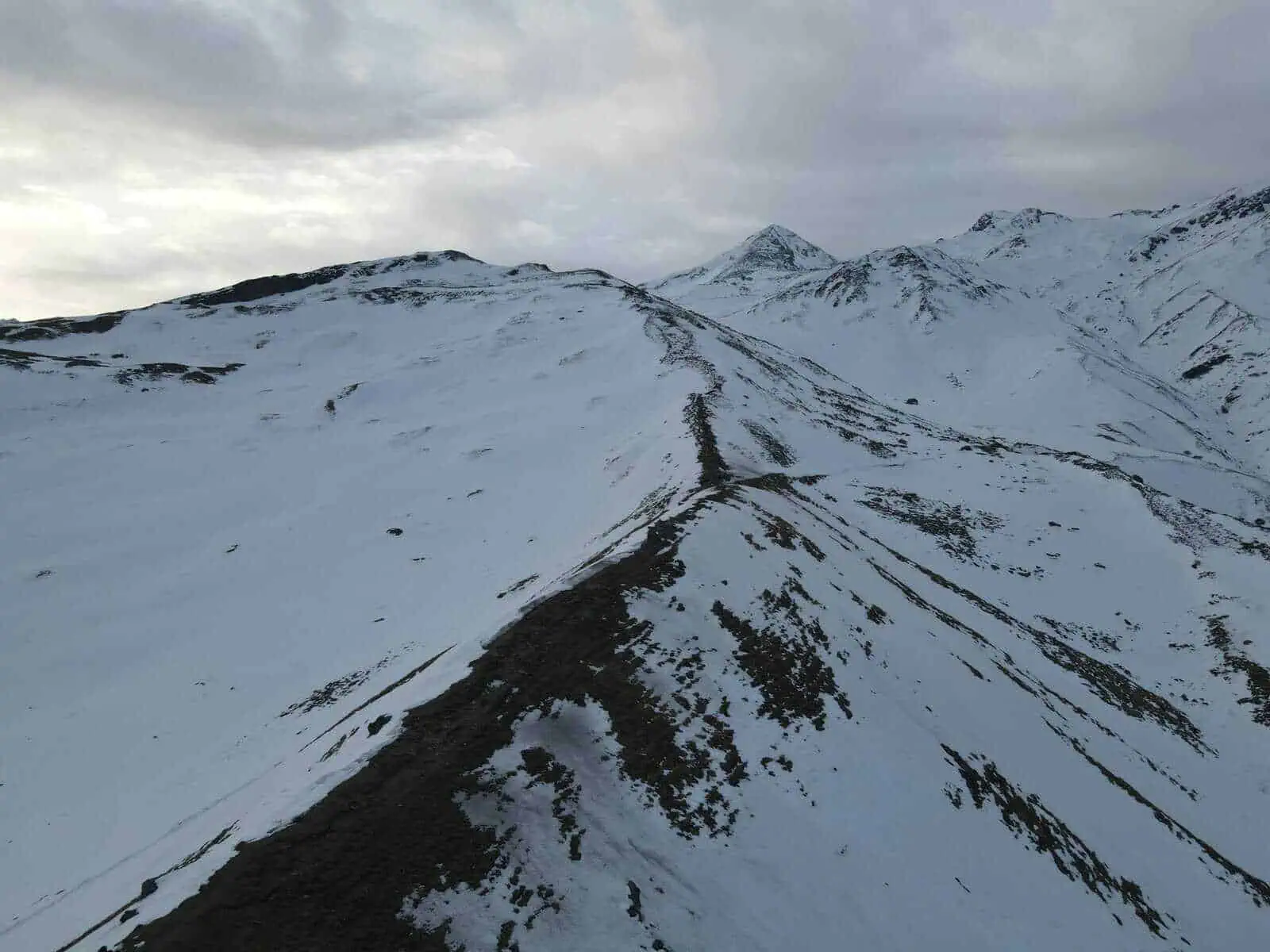
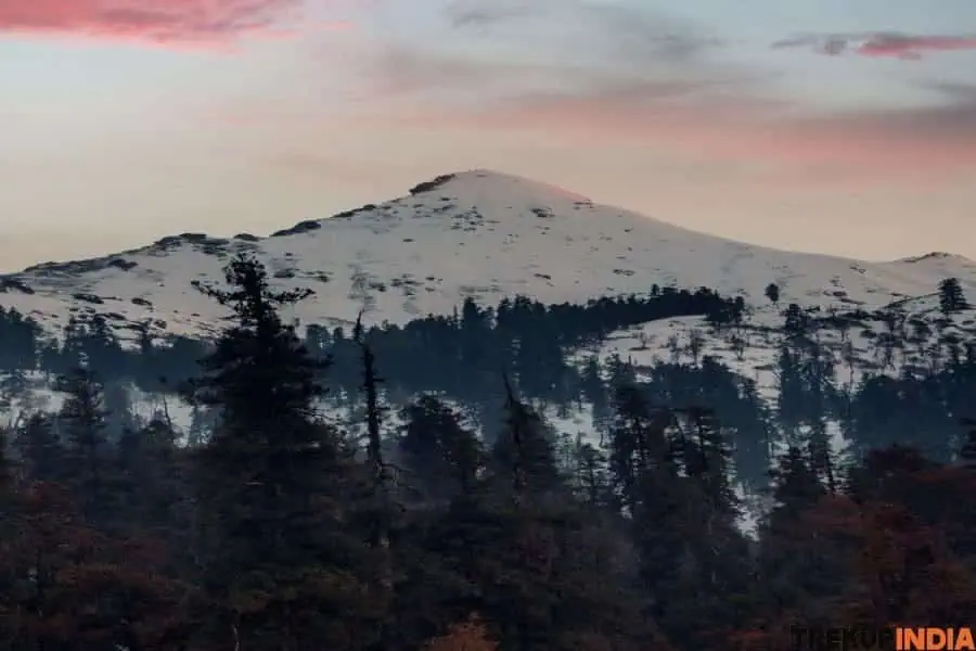
Take on the Gorichen Trek for an extraordinary journey across Arunachal Pradesh’s golden dawn landscapes, and revel in its tales of adventure and conquest that date back to colonial-era Britain. This historic route is rich with tales of adventure and conquest, with its rich legacy dating back to colonial era Britain; both its names – Bailey Trek and Gorichen Trek – honour its rich past; one honours British officer Sir Bailey, who charted its route for cartographic purposes while its other is inspired by breathtaking vistas such as those seen from Gorichen Massif with towering peaks such as Gorichen, Kangto, Nyegyi Kangsang, and Tapka Shiri accompanying this epic trek. Long before this route was mapped by the British, Tibetan and Indo-Tibetan tribes utilized it as a key trade route, transporting their products directly to markets in Assam. The 1962 Indo-China War left its mark on the region. Chinese troops gained control of the Bailey Trek from Tulung La to Thembang and caused serious harm to both Indian troops and trade networks. Now, however, this region has seen better days; trekkers can enjoy stunning mountain passes covered with snow-covered mountain passes, jaw-dropping views of the Eastern Himalaya’s highest peaks, glacial rivers, lakes, and forests filled with oak, juniper, and rhododendron trees. The Tawang Trek will take you through some of the state’s remotest areas, passing villages inhabited by Monpa tribe members renowned for their harmonious co-existence with nature. When completed, Tawang provides the ultimate reward for your hard work! At 4,980 meters, Tse La Pass is the trek’s highest point, making it suitable only for experienced trekkers due to its altitude and physical requirements. For optimal conditions on this trek, May and June or September and October are optimal times.
Trek Itinerary of Gorichen Trek
Day 1
Arrive in Guwahati
Day one will focus on traveling to Guwahati, Northeast India’s gateway city, with convenient connections to major Indian cities through direct flights and rail and road links (which can also provide faster journey times). Your schedule for today should be flexible enough to allow you to become familiar with your surroundings while getting to know fellow travellers; overnight accommodation will be arranged at a hotel and serve as an excellent launching pad for tomorrow’s departure.
Day 2
Guwahati to Bomdila (2,400M)
At 300 km in distance, traveling by car from Assam to Arunachal Pradesh should take around 8-9 hours. Since we will be ascending in elevation during our journey, we must dress warmly and take extra precautions when dressing warmly and taking care of ourselves during this trip. Leaving early to make use of daylight hours, we will stop at Bhalukpong Check gate before lunch break for formalities, before checking into Bomdila for accommodation and exploring the town, and adjusting to altitude changes.
Day 3
Bomdila (2,400M) to Lagaam (2,700M) to Thungri (3,200M)
Start your day right by traveling 55km by vehicle to Lagaam, our final accessible point on our route. In Lagaam lies a tiny settlement where many residents spend most of their year tending to their yaks in the surrounding hills, only returning during harsh winter months when necessary. From Lagaam, we begin trekking to Thungri with an ascent of 500 meters on an undulating trek through dense forest with multiple streams passing nearby and arriving at our campsite late afternoon.
Day 4
Thungri (3,200M) to Changla (3,760M)
As we journey through dense woodland towards Changla, where remnants from the India-China conflict can still be seen today, abandoned army bunkers serve as reminders of this region’s turbulent past. Used by Chinese forces during their march towards Thembang during World War 2, some may even still contain explosive weapons that are believed to be still there today.
Day 5
Changla (3760m) to Nyang (4500 M) / Potok (4640 M) via Poshing La (3950 M) and Pangi La (4200 M)
Ascending Pangi La is no easy feat, but once we reach its summit, the terrain eases and we enter an idyllic forest of rhododendrons before arriving at our riverside campsite. Be mindful that today will involve an elevation gain of 1000M; be sure to conserve energy and notify your guide if any discomfort or concerns arise during this challenging journey.
Day 6
Nyang (4,500M) / Potok (4,640M) to Lurthim (4,350M) via Tse La (4,980M)
Today is the highlight of our trek as we reach Tse La Pass, and most of its ascent has already been completed, making the remaining 300M climb more manageable. En route, we visit a sacred alpine lake whose crystal-clear waters can only be appreciated from up on top. From here we descend towards Lurthim, where our camp will be set up for the night.
Day 7
Lurthim (4,350M) to Mago (3,600M)
Today, we are camping near a village surrounded by numerous yak shelters. Today’s journey should be relatively leisurely; just an easy stroll through the forest will get us there.
Day 8
Mago (3,600M) to Thimbu Hydel (3,200M) and drive to Tawang via Jung
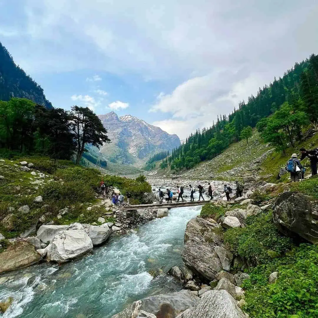
Today we will spend our day hiking along the banks of the Twang-Chu River, crossing several suspension bridges as we make our way towards a village which marks the starting point for our drive to Tawang, with an anticipated arrival time around early evening.
Day 9
Tawang to Bomdila
Following our brief tour of Tawang’s charming town, we’ll visit the world-famous Tawang Monastery before setting out on the 170 km return journey back to Bomdila – expected to take approximately six hours, which should bring us to our hotel by late evening hours.
Day 10
Bomdila to Guwahati
As our drive will span 300 kilometres and last 8-9 hours, please plan for travel arrangements accordingly. We plan to begin early morning and arrive back at Guwahati late evening – please ensure all arrangements have been made accordingly.
Trek Highlights of Gorichen Trek
- Trek to the base of Mt. Gorichen (6,481m), Arunachal’s tallest and holiest peak.
- Panoramic views from panoramic viewpoints show the Eastern Himalayan range, including Kangto peak, as well as other peaks in this breathtaking panorama.
- Explore remote villages belonging to the Monpa community, which have an abundance of Buddhist traditions.
- Explore an unspoiled alpine landscape featuring dense forests, rivers, and glacial terrain.
- Experience rare Himalayan wildlife and flora like blue sheep, yaks, and golden eagles!
- An enriching spiritual journey through locations sacred to Buddhists.
How To Reach Gorichen Trek
By Air: Tezpur Airport or Guwahati Airport (Assam).
From Guwahati, drive to Tawang via Bomdila (2-3 days is recommended).
By Road: Guwahati to Tezpur via Dirang, Bomdila Tawang Tawang (500 kilometres or two days with shared taxi or private car).
These treks are scenic, steep, and occasionally blocked in winter months.
By Train: Tezpur and Guwahati serve as major railheads; from these, you can continue traveling via road.
Best Time to Visit Gorichen Trek
Late April through Early June: Spring blossoms, sunny skies, and comfortable hiking temperatures await the trekker. Mid-September to October: for post-monsoon refreshment and breathtaking mountain vistas
Want To Trek Like Pro?
Check out the following videos if you want to trek like a pro trekker and improve your skills. These videos contain helpful tips, tricks, and techniques to help you trek like a pro. Whether you’re a beginner or an experienced trekker, these videos can provide valuable insights to enhance your trekking experience. So, watch the videos below by Trekup India experts to take your trekking skills to the next level.



Know Everything About Acute Mountain Sickness
Acute Mountain Sickness is a medical condition that can occur when individuals travel to high altitudes, typically above 8,000 feet. It is caused by the decrease in air pressure and oxygen levels in the air as altitude increases. Symptoms of Acute Mountain Sickness may include headache, nausea, vomiting, dizziness, and difficulty sleeping. To avoid Acute Mountain Sickness, it is important to gradually adjust to high altitudes and seek medical attention if symptoms worsen. To learn more about this condition, check out the videos by Trekup India.
