Kunagalu Betta Trek
Bajling Top Trek
| Region: | Uttarakhand |
| Duration: | 1 Day |
| Trek grade: | Moderate |
| Maximum altitude: | ft |
| Best Time to Visit: | April-May and September – October. |
I recently went on a day trek to Uttarakhand’s Pindari and Sunderdhunga valleys. While trekking, we learned about an exciting day hike from Khati village called “Pankhwa Top.” This trek leads to the highest point of the connecting ridge over Khati village. The estimated trail up to Pankhwa Top is around 12km one way, requiring overnight camping. We also contemplated hiking towards Bajling Dhar and camping there for the night. We were advised to begin early to avoid rains later in the morning and to carry extra water as there are no drinking water sources along the route.
Two well-known routes lead to Bajling Dhar from Khati, one involving retracing the trail through Kharkiya and another shorter but steeper trail over the forest ridge. We chose the second trial for its efficiency. With most members of the Pindari Team leaving for Almora, only a few of us were left for this trek.
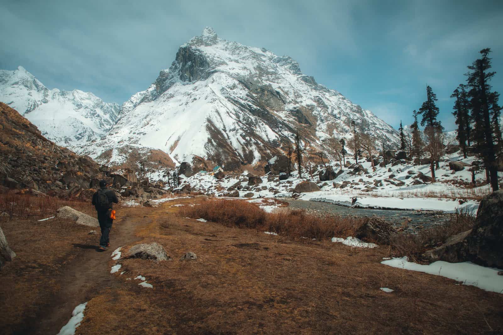
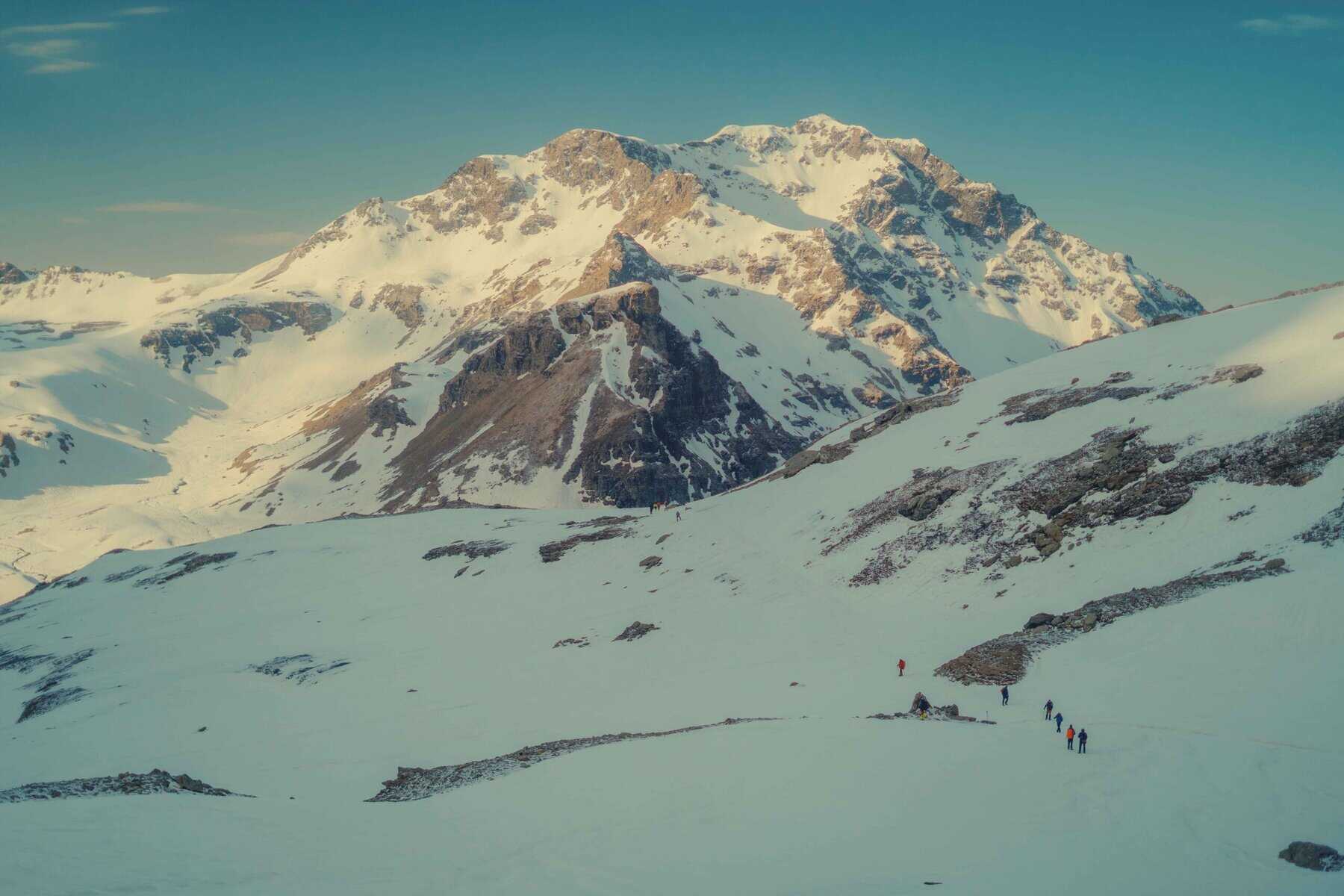
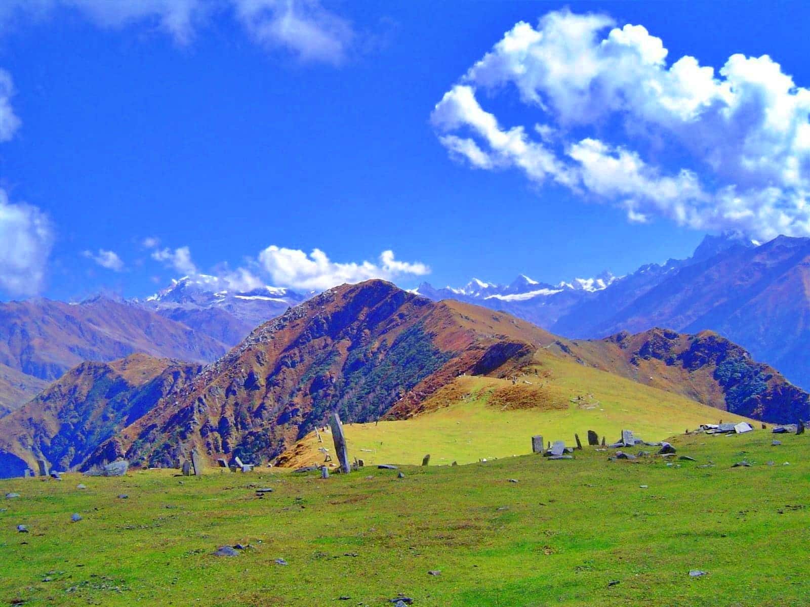
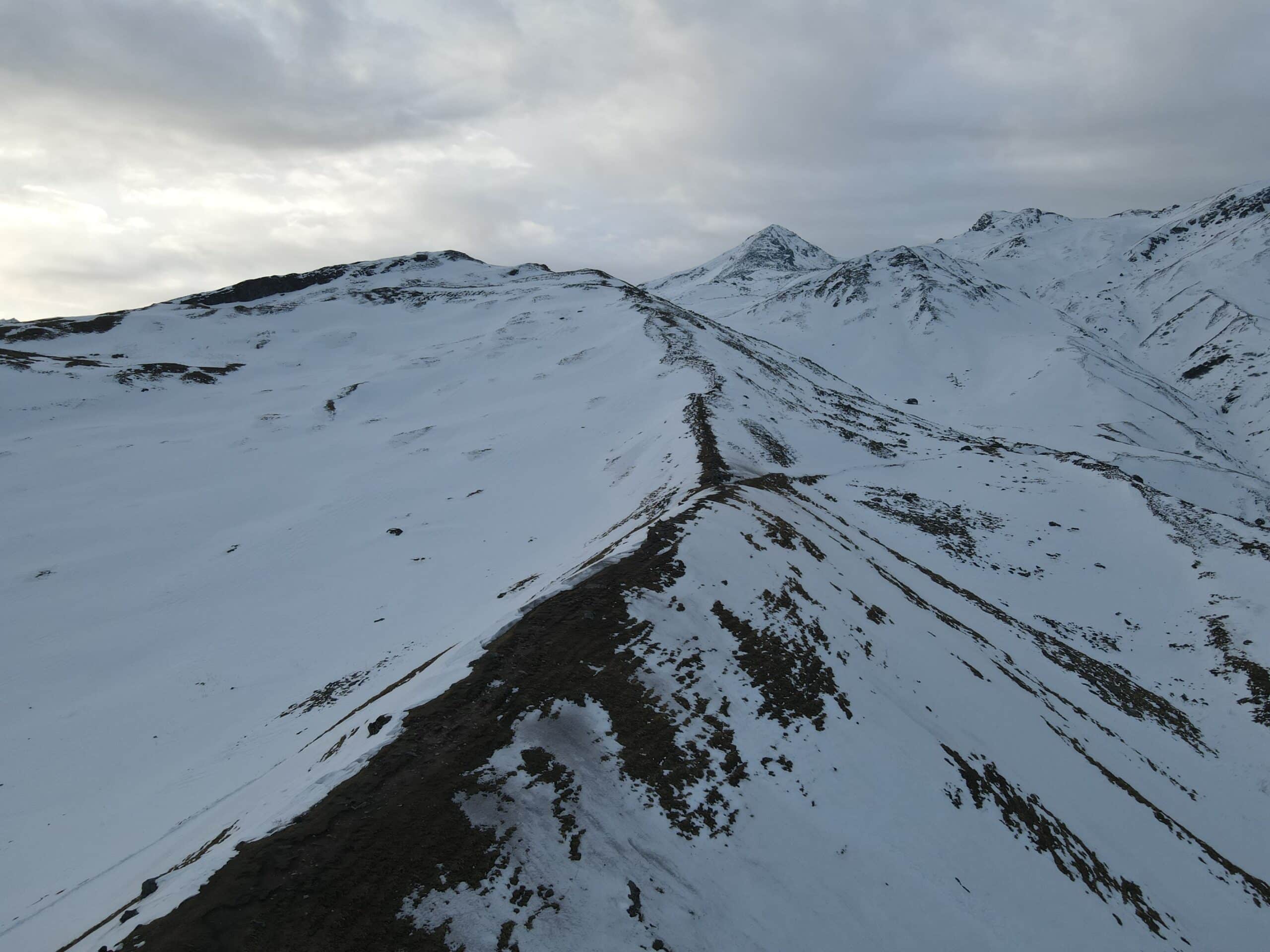
We started early and followed a steep climb through a thick forest trail, consistently making progress. After climbing over 1200 feet, we had 850 more feet to go. The climb was tough, but shepherds and locals frequented the trail. We finally reached the first meadow, which offered breathtaking views. The weather started to worsen as clouds encircled the ridge, but we pushed on and eventually reached the meadows of Bajling Top.
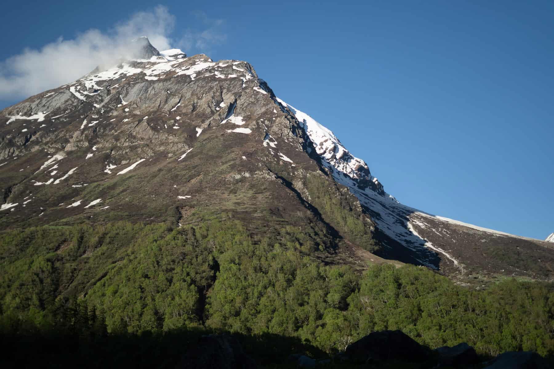
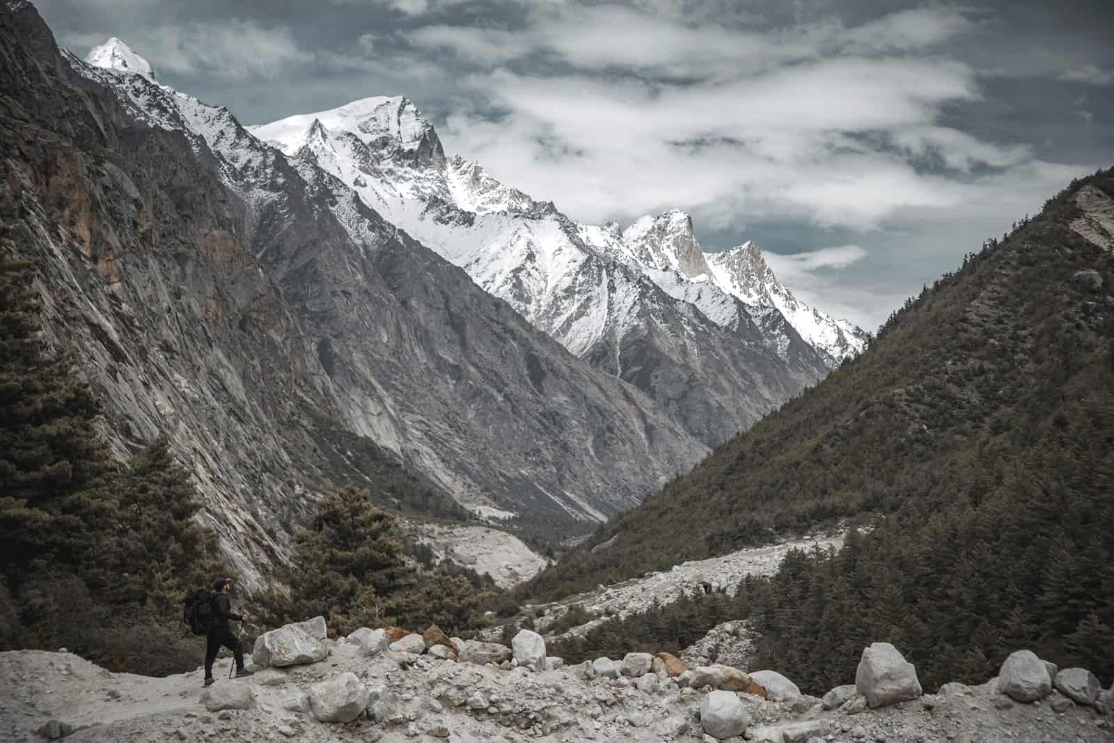
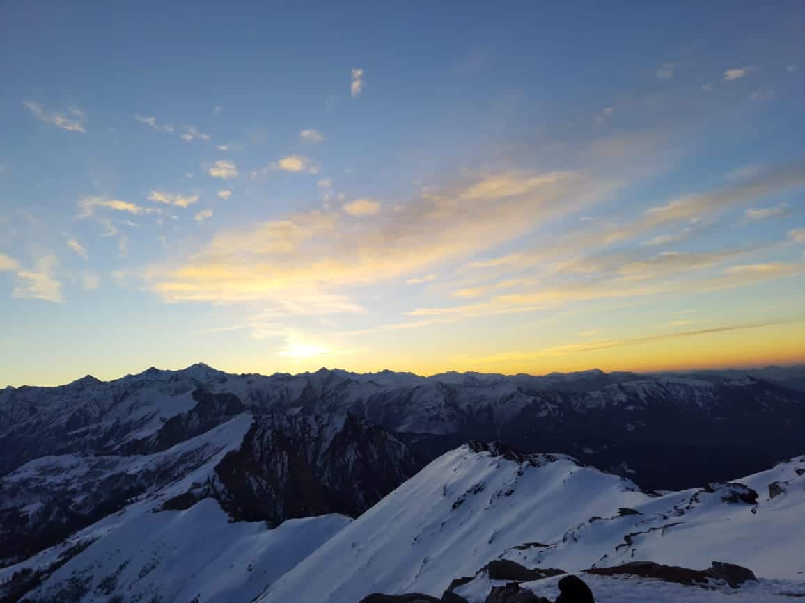
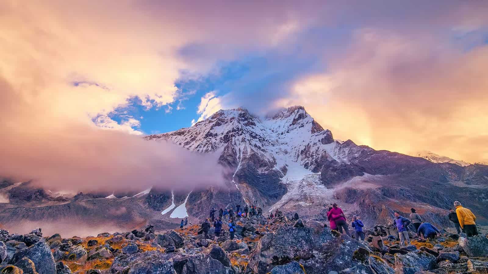
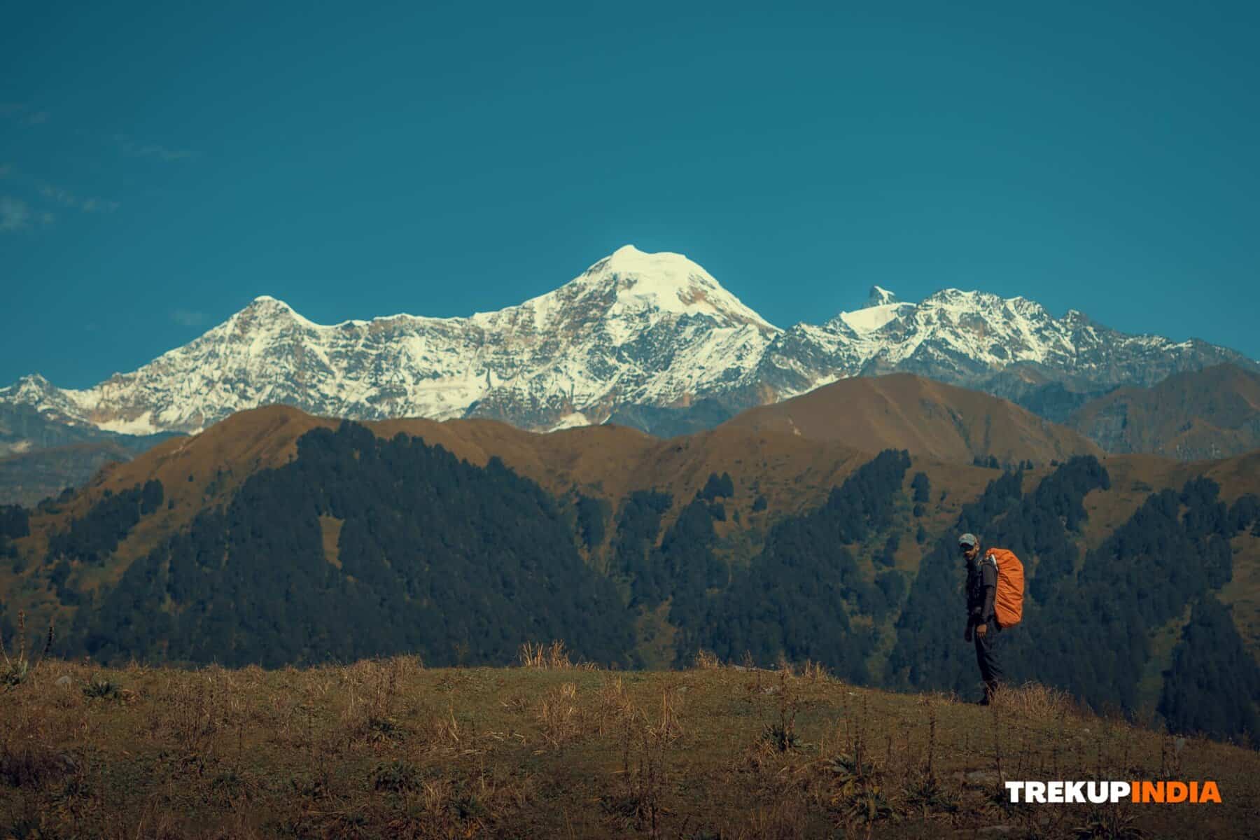
From there, we enjoyed a magnificent valley panorama, observing Khati Village and the forest ridge that climbed up towards Pankhwa Top. We could also see the Nandabaner, Nandakot, and Laspadhura peaks. Afterwards, we descended and learned from our guide about hiking between Supi village and Bajling Dhar. He also recommended visiting Bajling Dhar in winter to witness the snowfall.
Dates For Upcoming Treks
Want To Trek Like Pro?
Basically, watch these videos if you want to trek the same way professional trekkers do and make your skills better. These videos contain useful tips and techniques to further improve your trekking skills itself. These videos actually help both new and experienced trekkers improve their trekking skills. These videos definitely provide useful tips that make your trek better. We are seeing that these videos by Trekup India experts will only help you make your trekking skills better.


Know Everything About Acute Mountain Sickness
Acute Mountain Sickness occurs when people trek to high altitudes above 8,000 feet. This condition itself develops further due to reduced oxygen levels at such heights. Basically, as you go higher up, the air pressure and oxygen levels decrease, which causes the same problem. Acute Mountain Sickness surely causes headache, nausea, vomiting, and dizziness in affected persons. Moreover, peoples also experience difficulty in sleeping during this condition. To avoid mountain sickness, you should actually trek up slowly to higher altitudes. To learn further about this condition itself, watch the videos by Trekup India.


